From Surf Wiki (app.surf) — the open knowledge base
Zinal
| Field | Value |
|---|---|
| subject_name | Zinal |
| image_photo | Zinal depuis Le Belvédère.jpg |
| coordinates | |
| position | top |
| municipality_type | former |
| within_municipality | Anniviers |
| canton | Valais |
| iso-code-region | CH-VS |
| district | Sierre |
| area | 0 |
| elevation | 1675 |
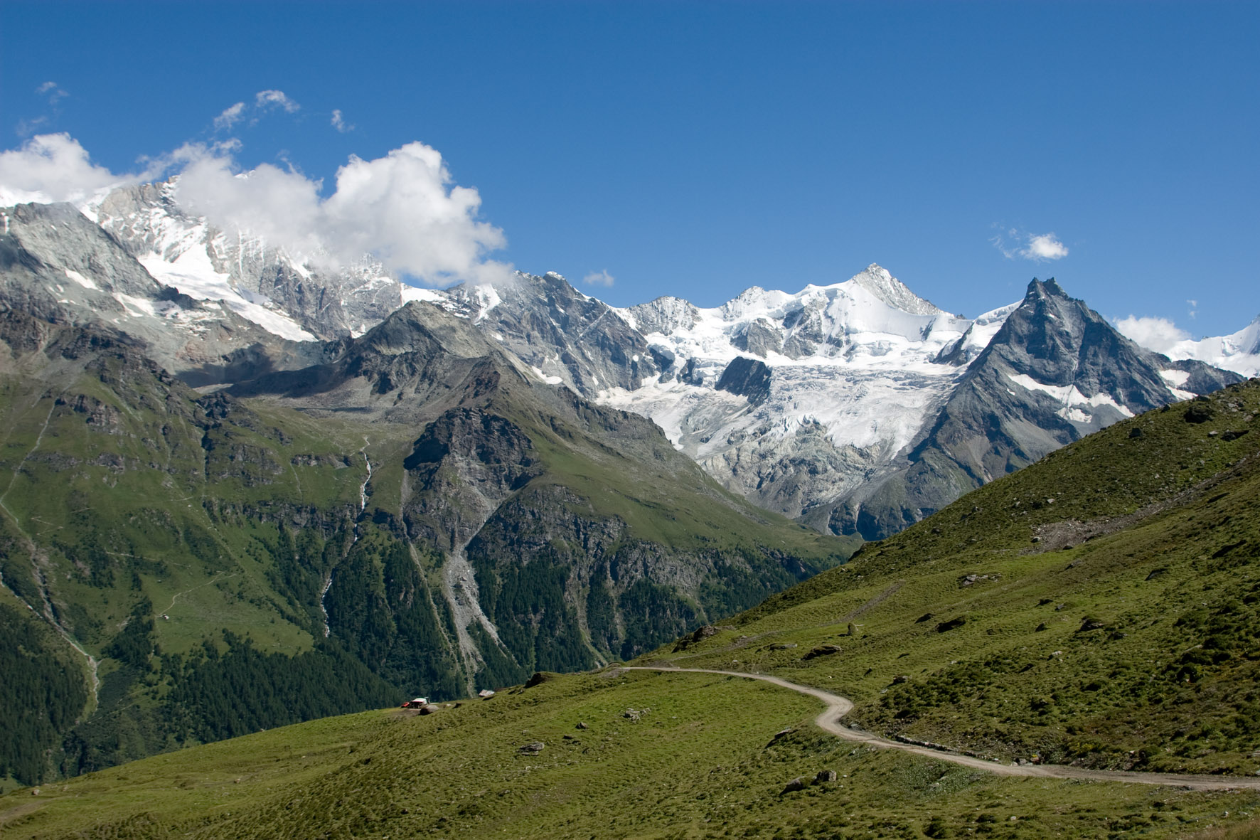
| iso-code-region = CH-VS Zinal is a village in Switzerland, located in the municipality of Anniviers in the canton of Valais. It lies at an elevation of 1675 m above sea level in the Swiss Alps in the Val de Zinal, a valley running from the Zinal Glacier, north of Dent Blanche to the village of Ayer, part of the Val d'Anniviers. With the Dent Blanche, four additional 4000 m peaks are located around the valley: Bishorn, Weisshorn, Zinalrothorn, and Ober Gabelhorn.
Tourism
The village is a typical Swiss ski resort with 120 km (linked with Grimentz since 2013 to form a greater skiing area) of ski slopes and 19.5 km of cross-country skiing. In summer the area has 300 km of marked trails and some mountain huts such as the Grand Mountet Hut in the middle of glaciers.
References
References
This article was imported from Wikipedia and is available under the Creative Commons Attribution-ShareAlike 4.0 License. Content has been adapted to SurfDoc format. Original contributors can be found on the article history page.
Ask Mako anything about Zinal — get instant answers, deeper analysis, and related topics.
Research with MakoFree with your Surf account
Create a free account to save articles, ask Mako questions, and organize your research.
Sign up freeThis content may have been generated or modified by AI. CloudSurf Software LLC is not responsible for the accuracy, completeness, or reliability of AI-generated content. Always verify important information from primary sources.
Report