From Surf Wiki (app.surf) — the open knowledge base
Yarmouth Port, Massachusetts
| Field | Value |
|---|---|
| official_name | Yarmouth Port, Massachusetts |
| settlement_type | Census-designated place |
| image_skyline | Bass-Hole-boardwalk Yarmouth-MA-US.JPG |
| imagesize | 250px |
| image_caption | Boardwalk at Bass Hole |
| image_map | Barnstable County Massachusetts incorporated and unincorporated areas Yarmouth Port highlighted.svg |
| mapsize | 260px |
| map_caption | Location in Barnstable County and the state of Massachusetts |
| subdivision_type | Country |
| subdivision_name | United States |
| subdivision_type1 | State |
| subdivision_name1 | Massachusetts |
| subdivision_type2 | County |
| subdivision_name2 | Barnstable |
| subdivision_type3 | Town |
| subdivision_name3 | Yarmouth |
| area_footnotes | |
| area_total_km2 | 16.78 |
| area_land_km2 | 15.59 |
| area_water_km2 | 1.19 |
| area_total_sq_mi | 6.48 |
| area_land_sq_mi | 6.02 |
| area_water_sq_mi | 0.46 |
| population_as_of | 2020 |
| population_total | 5403 |
| population_density_km2 | 346.59 |
| population_density_sq_mi | 897.66 |
| timezone | Eastern (EST) |
| utc_offset | -5 |
| timezone_DST | EDT |
| utc_offset_DST | -4 |
| elevation_m | 16 |
| elevation_ft | 52 |
| coordinates | |
| postal_code_type | ZIP Code |
| postal_code | 02675 |
| area_codes | 508/774 |
| blank_name | FIPS code |
| blank_info | 25-82595 |
| blank1_name | GNIS feature ID |
| blank1_info | 0615805 |
| unit_pref | Imperial |
Yarmouth Port is a census-designated place (CDP) in the town of Yarmouth in Barnstable County, Massachusetts, United States. The population was 5,320 at the 2010 census.
Yarmouth Port was home to the original Christmas Tree Shops until its closing in 2007. The town is home to the international headquarters of IFAW.
Geography
Yarmouth Port is located in the northern part of the town of Yarmouth at (41.704633, −70.220923). It is bordered to the north by Cape Cod Bay, to the east by the town of Dennis, and to the west by the town of Barnstable. U.S. Route 6, the Mid-Cape Highway, is to the south, beyond which are the CDPs of South Yarmouth and West Yarmouth.
According to the United States Census Bureau, the Yarmouth Port CDP has a total area of 16.76 sqkm, of which 15.65 sqkm is land, and 1.11 sqkm (6.86%) is water.
Demographics
At the 2000 census there were 5,395 people, 2,546 households, and 1,642 families in the CDP. The population density was 344.9/km (892.7/mi). There were 3,104 housing units at an average density of 198.4/km (513.6/mi). The racial makeup of the CDP was 98.46% White, 0.26% African American, 0.17% Native American, 0.32% Asian, 0.02% Pacific Islander, 0.19% from other races, and 0.59% from two or more races. Hispanic or Latino people of any race were 0.70%.
Of the 2,546 households 17.0% had children under the age of 18 living with them, 56.2% were married couples living together, 6.8% had a female householder with no husband present, and 35.5% were non-families. 30.8% of households were one person and 19.8% were one person aged 65 or older. The average household size was 2.11 and the average family size was 2.61.
The age distribution was 15.8% under the age of 18, 3.0% from 18 to 24, 18.7% from 25 to 44, 27.9% from 45 to 64, and 34.7% 65 or older. The median age was 53 years. For every 100 females, there were 85.9 males. For every 100 females age 18 and over, there were 80.7 males.
The median household income was $47,576 and the median family income was $57,841. Males had a median income of $41,029 versus $30,171 for females. The per capita income for the CDP was $30,418. About 2.2% of families and 4.3% of the population were below the poverty line, including 6.2% of those under age 18 and 1.3% of those age 65 or over.
Notable person
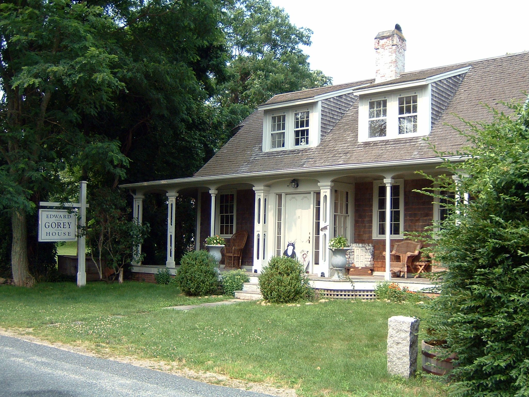
- Edward Gorey (1925–2000), artist and writer
References
References
- "2020 U.S. Gazetteer Files". [[United States Census Bureau]].
- "Geographic Identifiers: 2010 Demographic Profile Data (G001): Yarmouth Port CDP, Massachusetts". [[United States Census Bureau]].
- (2011-02-12). "US Gazetteer files: 2010, 2000, and 1990". [[United States Census Bureau]].
- "Census of Population and Housing". [[United States Census Bureau]].
- "U.S. Census website". [[United States Census Bureau]].
- [http://www.edwardgoreyhouse.org/ Edward Gorey House], Yarmouth Port
This article was imported from Wikipedia and is available under the Creative Commons Attribution-ShareAlike 4.0 License. Content has been adapted to SurfDoc format. Original contributors can be found on the article history page.
Ask Mako anything about Yarmouth Port, Massachusetts — get instant answers, deeper analysis, and related topics.
Research with MakoFree with your Surf account
Create a free account to save articles, ask Mako questions, and organize your research.
Sign up freeThis content may have been generated or modified by AI. CloudSurf Software LLC is not responsible for the accuracy, completeness, or reliability of AI-generated content. Always verify important information from primary sources.
Report