From Surf Wiki (app.surf) — the open knowledge base
Wilson County, Tennessee
County in Tennessee, United States

County in Tennessee, United States
| Field | Value |
|---|---|
| county | Wilson County |
| state | Tennessee |
| seal | Wilson County tn seal.jpg |
| founded year | 1799 |
| founded date | October 26 |
| named for | David Wilson, early statesman |
| seat wl | Lebanon |
| largest city wl | Mt. Juliet |
| area_total_sq_mi | 583 |
| area_land_sq_mi | 571 |
| area_water_sq_mi | 12 |
| area percentage | 2.1% |
| census yr | 2020 |
| pop | 147737 |
| pop_est_as_of | 2024 |
| population_est | 169948 |
| density_sq_mi | auto |
| time zone | Central |
| web | www.wilsoncountytn.gov |
| ex image | Wilson county tennessee courthouse.jpg |
| ex image cap | Wilson County Courthouse in Lebanon |
| area_codes | 615, 629 |
| district | 5th |
| district2 | 6th |
| leader type | Mayor |
| leader_name | Randall Hutto (R) |
Wilson County is a county in the U.S. state of Tennessee. It is in Middle Tennessee. As of the 2020 census, the population was 147,737. Its county seat is Lebanon. The largest city is Mt. Juliet. Wilson County is part of the Nashville metropolitan area.
History
Wilson County was created in 1799 from a portion of Sumner County, and named for Major David Wilson, a Revolutionary War veteran and statesman. The county remained predominantly agrarian throughout the 19th century. The arrival of the railroad after the Civil War boosted the county's timber sector, and several large factories were constructed in the county during the early 20th century.
Wilson County was the site of an important saltpeter mine. Saltpeter, the main ingredient of gunpowder, was obtained by leaching the earth from Valley Cave. Valley Cave is near Statesville. The many saltpeter hoppers still inside the cave indicate that this was a large mining operation. These saltpeter vats may date from the War of 1812 mining era or the Civil War mining era, or perhaps both. Further research is needed to determine when this mine was active.
Geography
According to the U.S. Census Bureau, the county has a total area of 583 sqmi, of which 571 sqmi is land and 12 sqmi (2.1%) is water. The Cumberland River flows along the county's northern border with Trousdale and Sumner counties. This section of the river is part of Old Hickory Lake. Several streams in the western part of the county are part of the Stones River basin.
Wilson County is home to a large concentration of cedar glades, a unique ecosystem where the soil is too rocky or shallow for trees to grow. Many of these glades are found in Cedars of Lebanon State Park.
Adjacent counties
- Trousdale County (north)
- Smith County (northeast)
- DeKalb County (east)
- Cannon County (southeast)
- Rutherford County (south)
- Davidson County (west)
- Sumner County (northwest)
State protected areas
- Cedars of Lebanon State Forest
- Cedars of Lebanon State Park
- Couchville Cedar Glade State Natural Area (part)
- Gattinger's Cedar Glade and Barrens State Natural Area (part)
- John and Hester Land Cedar Glades State Natural Area
- Old Hickory Wildlife Management Area (part)
- Percy Priest Wildlife Management Area (part)
- Vesta Cedar Glade State Natural Area
- Vine Cedar Glade State Natural Area
Major highways
Demographics
| align-fn = center 1790-1960 1900-1990 1990-2000 2010-2020
2020 census
As of the 2020 census, there were 147,737 people, 55,074 households, and 40,874 families residing in the county. The median age was 40.1 years; 23.6% of residents were under the age of 18 and 16.2% of residents were 65 years of age or older. For every 100 females there were 95.5 males, and for every 100 females age 18 and over there were 93.2 males age 18 and over.
The racial makeup of the county was 81.8% White, 6.9% Black or African American, 0.4% American Indian and Alaska Native, 2.1% Asian,
64.8% of residents lived in urban areas, while 35.2% lived in rural areas.
Of the 55,074 households in the county, 34.7% had children under the age of 18 living in them. Of all households, 57.6% were married-couple households, 14.2% were households with a male householder and no spouse or partner present, and 22.4% were households with a female householder and no spouse or partner present. About 21.2% of all households were made up of individuals and 8.8% had someone living alone who was 65 years of age or older. There were 58,152 housing units, of which 5.3% were vacant. Among occupied housing units, 75.1% were owner-occupied and 24.9% were renter-occupied. The homeowner vacancy rate was 1.2% and the rental vacancy rate was 7.3%.
Racial and ethnic composition
| Race | Number | Percentage | White (non-Hispanic) | Black or African American (non-Hispanic) | Native American | Asian | Pacific Islander | Other/Mixed | Hispanic or Latino |
|---|---|---|---|---|---|---|---|---|---|
| 118,889 | 80.47% | ||||||||
| 10,099 | 6.84% | ||||||||
| 405 | 0.27% | ||||||||
| 3,086 | 2.09% | ||||||||
| 44 | 0.03% | ||||||||
| 6,839 | 4.63% | ||||||||
| 8,375 | 5.67% |
2010 census
As of the census of 2010, there were 113,993 people, 42,563 households, and 32,177 families living in the county. The population density was 199.64 /mi2. The housing unit density was 74.54 /mi2. The racial makeup of the county was 89.30% White, 6.40% African American, 1.12% Asian, 0.35% Native American, 0.04% Pacific Islander, and 1.46% from two or more races. Those of Hispanic or Latino origins constituted 3.24% of the population.
Of all of the households, 33.22% had children under the age of 18 living in them, 60.08% were married couples living together, 4.33% had a male householder with no wife present, 11.19% had a female householder with no husband present, and 24.40% were non-families. 19.86% of households were one person and 7.29% were one person aged 65 or older. The average household size was 2.65 and the average family size was 3.03.
The age distribution was 25.06% under the age of 18, 62.78% ages 18 to 64, and 12.17% age 65 and older. The median age was 39.3 years. 51.02% of the population were females and 48.98% were males.
The median household income was $60,678, and the median family income was $70,092. Males had a median income of $49,293 versus $36,419 for females. The per capita income for the county was $27,814. About 5.6% of families and 7.6% of the population were below the poverty line, including 9.1% of those under the age of 18 and 8.1% of those age 65 or older.
2000 census
At the 2000 census there were 88,809 people, 32,798 households, and 25,582 families living in the county. The population density was 156 /mi2. There were 34,921 housing units at an average density of 61 /mi2. The racial makeup of the county was 91.50% White, 6.26% Black or African American, 0.32% Native American, 0.48% Asian, 0.03% Pacific Islander, 0.48% from other races, and 0.92% from two or more races. 1.27% of the population were Hispanic or Latino of any race.
Of the 32,798 households 37.20% had children under the age of 18 living with them, 64.20% were married couples living together, 10.10% had a female householder with no husband present, and 22.00% were non-families. 18.10% of households were one person and 6.10% were one person aged 65 or older. The average household size was 2.67 and the average family size was 3.03.
The age distribution was 26.20% under the age of 18, 7.70% from 18 to 24, 31.70% from 25 to 44, 24.70% from 45 to 64, and 9.70% 65 or older. The median age was 36 years. For every 100 females, there were 97.40 males. For every 100 females age 18 and over, there were 94.80 males.
The median household income was $50,140 and the median family income was $56,650. Males had a median income of $39,848 versus $26,794 for females. The per capita income for the county was $22,739. About 4.60% of families and 6.70% of the population were below the poverty line, including 7.80% of those under age 18 and 11.50% of those age 65 or over.
Education
Wilson County Schools oversees 22 public schools, including 2 adult education centers and a technical education center. The county has five high schools: Mount Juliet High School, Lebanon High School, Wilson Central High School, Green Hill High School, and Watertown High School.
Lebanon Special School District (LSSD) serves most of Lebanon and some unincorporated areas for K-8, though some parts of Lebanon are with Wilson County schools for all years K-12. Wilson County Schools operates the high schools that serve the LSSD territory.
Cumberland University is located in Lebanon.
Communities
Cities
- Mt. Juliet (largest city)
- Lebanon (county seat)
Town
- Watertown
Census-designated places
- Gladeville
- Green Hill
- Norene
- Rural Hill
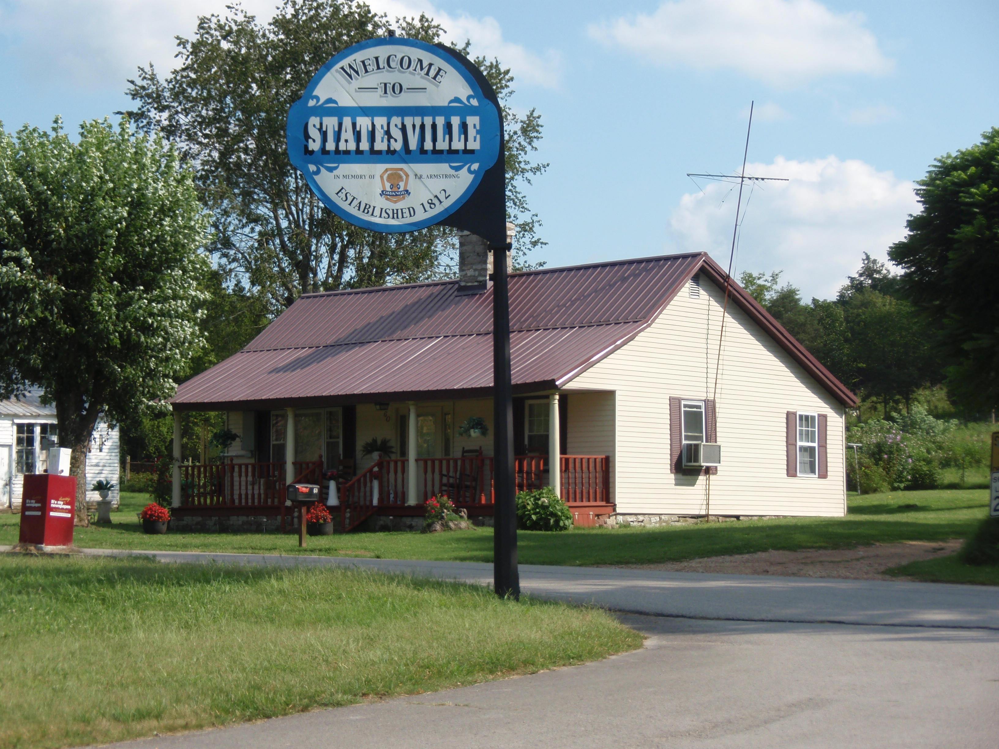
- Statesville
- Tuckers Crossroads
Other unincorporated communities
- Belinda City
- Cainsville
- Cedar Grove
- Cherry Valley
- Commerce
- Doaks Crossroads
- Egan
- Greenvale
- LaGuardo
- Leeville
- Liberty Hill
- Martha
- Suggs Creek
- Tater Peeler
- Taylorsville
- Vine
Former community
- Big Spring
Education
It has two school districts, Lebanon Special School District and Wilson County School District. The latter has all high school zoning in the entire county, while the former has grades K-8 and special education services.
Notable people
- Jordan Anderson (1825–1907) – author of Letter from a Freedman to His Old Master (1865)
- Casey Atwood (b. 1980) – NASCAR driver
- Adrian Belew (b. 1949) – musical artist
- Charlie Daniels (1936–2020) – musical artist
- Dan Evins (1935–2012) – businessman and founder of the Cracker Barrel Old Country Store
- Bobby Hamilton (1957–2007) – NASCAR driver
- Erika Jo (b. 1986) – musical artist
- Chloe Kohanski – musical artist
- Dixon Lanier Merritt (1879–1972) – newspaper editor, historian, poet
- John J. Pettus (1813–1867) – 20th and 23rd Governor of Mississippi
- John S. Roane (1817–1867) – 4th Governor of Arkansas
- David P. Sartor (b. 1956) – classical composer
- Gretchen Wilson (b. 1973) – musical artist
- Ross Winn (1871–1912) – writer
Politics
Like the rest of Nashville's suburbs, Wilson County is a Republican stronghold. It has not been won by a Democratic presidential candidate since 1992. After going to George W. Bush by six points in 2000, Wilson County dramatically shifted to the right. Since 2004, Republicans have won the county by at least a 30-point margin of victory each time. 2016 marked the worst performance ever by a Democratic presidential candidate in the county, with Donald Trump winning it by 44 points.
References
References
- Humbles, Andy. (May 3, 2022). "Incumbent Randall Hutto to remain Wilson County mayor with primary win over Phillip Warren".
- "State & County QuickFacts". United States Census Bureau.
- "Find a County". National Association of Counties.
- "Mt. Juliet Tennessee".
- Frank Burns, "[http://tennesseeencyclopedia.net/entry.php?rec=1518 Wilson County]," ''Tennessee Encyclopedia of History and Culture''. Retrieved: April 24, 2013.
- Thomas C. Barr, Jr., "Caves of Tennessee", Bulletin 64 of the Tennessee Division of Geology, 1961, 568 pages.
- (August 22, 2012). "2010 Census Gazetteer Files". United States Census Bureau.
- "Annual Estimates of the Resident Population for Counties: April 1, 2020 to July 1, 2023". United States Census Bureau.
- "U.S. Decennial Census". United States Census Bureau.
- "Historical Census Browser". University of Virginia Library.
- (March 27, 1995). "Population of Counties by Decennial Census: 1900 to 1990". United States Census Bureau.
- (April 2, 2001). "Census 2000 PHC-T-4. Ranking Tables for Counties: 1990 and 2000". United States Census Bureau.
- (2021). "2020 Decennial Census Demographic Profile (DP1)".
- (2021). "2020 Decennial Census Redistricting Data (Public Law 94-171)".
- (2023). "2020 Decennial Census Demographic and Housing Characteristics (DHC)".
- "Explore Census Data".
- . ["U.S. Census website"](https://www.census.gov).
- "U.S. Census website". [[United States Census Bureau]].
- "2020 CENSUS - SCHOOL DISTRICT REFERENCE MAP: Wilson County, TN". [[U.S. Census Bureau]].
- "2020 CENSUS - SCHOOL DISTRICT REFERENCE MAP: Wilson County, TN". [[U.S. Census Bureau]].
- "History". [[Lebanon Special School District]].
- [https://www.newspapers.com/clip/13168466/the-tennessean/ "Dixon Merritt, Editor, Dies"]. ''The Nashville Tennessean''. January 10, 1972. p. 21. Retrieved August 12, 2022.
- Leip, David. "Dave Leip's Atlas of U.S. Presidential Elections".
This article was imported from Wikipedia and is available under the Creative Commons Attribution-ShareAlike 4.0 License. Content has been adapted to SurfDoc format. Original contributors can be found on the article history page.
Ask Mako anything about Wilson County, Tennessee — get instant answers, deeper analysis, and related topics.
Research with MakoFree with your Surf account
Create a free account to save articles, ask Mako questions, and organize your research.
Sign up freeThis content may have been generated or modified by AI. CloudSurf Software LLC is not responsible for the accuracy, completeness, or reliability of AI-generated content. Always verify important information from primary sources.
Report