From Surf Wiki (app.surf) — the open knowledge base
Westtown Township, Pennsylvania
Township in Pennsylvania, US

Township in Pennsylvania, US
| Field | Value |
|---|---|
| name | Westtown Township |
| settlement_type | Township |
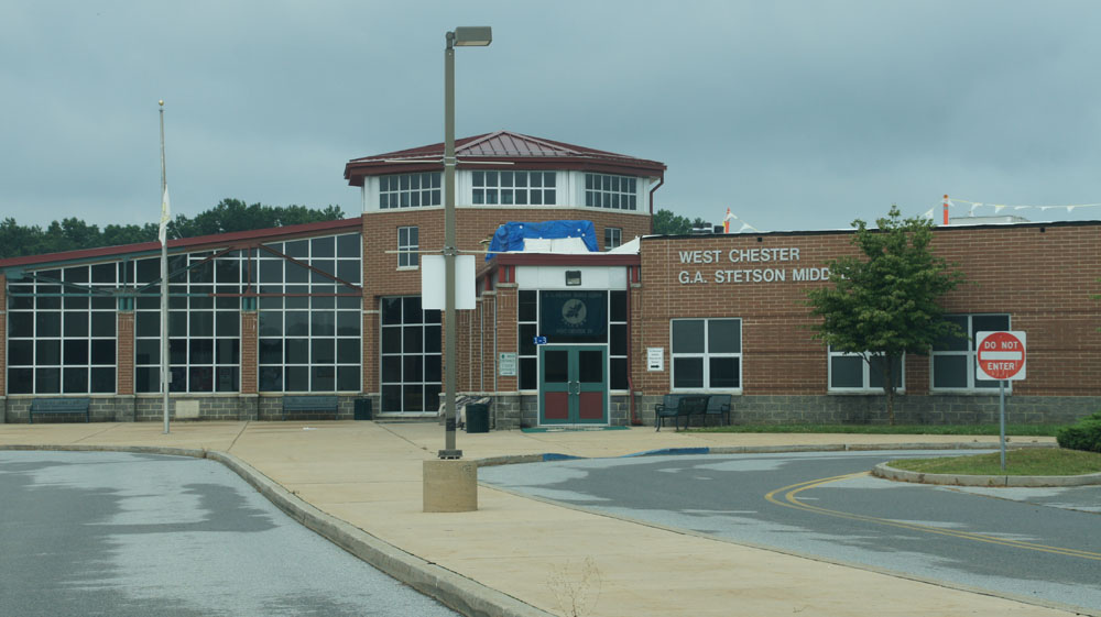
| image_skyline | WesttownTownshipMainBuilding.JPG |
| image_caption | The main building of Westtown Township |
| image_map | Chester County Pennsylvania incorporated and unincorporated areas Westtown highlighted.svg |
| mapsize | 260px |
| map_caption | Location in Chester County and the state of Pennsylvania. |
| image_map1 | Pennsylvania in United States (US48).svg |
| map_caption1 | Location of Pennsylvania in the United States |
| coordinates | |
| subdivision_type | Country |
| subdivision_name | United States |
| subdivision_type1 | State |
| subdivision_name1 | Pennsylvania |
| subdivision_type2 | County |
| subdivision_name2 | Chester |
| established_title | Founded |
| leader_title | Mayor |
| unit_pref | Imperial |
| area_footnotes | |
| area_total_km2 | 22.63 |
| area_total_sq_mi | 8.74 |
| area_land_km2 | 22.44 |
| area_land_sq_mi | 8.66 |
| area_water_km2 | 0.19 |
| area_water_sq_mi | 0.07 |
| elevation_ft | 269 |
| population_as_of | 2010 |
| population_total | 10827 |
| pop_est_as_of | 2016 |
| pop_est_footnotes | |
| population_est | 10865 |
| population_density_km2 | 484.20 |
| population_density_sq_mi | 1254.04 |
| timezone1 | EST |
| utc_offset1 | -5 |
| timezone1_DST | EDT |
| utc_offset1_DST | -4 |
| area_code | 610 |
| blank_name | FIPS code |
| blank_info | 42-029-84104 |
| blank2_name_sec2 | Wikimedia Commons |
| website | http://www.westtownpa.org |
Westtown Township is a township in Chester County, Pennsylvania, United States. The population was 10,827 at the 2010 census.
History
County Bridge No. 148 was listed on the National Register of Historic Places in 1988.
Geography
According to the United States Census Bureau, the township has a total area of 8.8 sqmi, of which 8.7 sqmi is land and 0.04 sqmi, or 0.23%, is water.
Demographics
As of the census of 2000, there were 10,352 people, 3,705 households, and 2,949 families residing in the township. The population density was 1,185.5 PD/sqmi. There were 3,795 housing units at an average density of 434.6 /sqmi. The racial makeup of the township was 93.97% White, 2.59% African American, 0.07% Native American, 2.42% Asian, 0.01% Pacific Islander, 0.37% from other races, and 0.57% from two or more races. Hispanic or Latino of any race were 1.13% of the population.
There were 3,705 households, out of which 38.7% had children under the age of 18 living with them, 70.6% were married couples living together, 6.9% had a female householder with no husband present, and 20.4% were non-families. 16.0% of all households were made up of individuals, and 4.0% had someone living alone who was 65 years of age or older. The average household size was 2.78 and the average family size was 3.14.
In the township the population was spread out, with 26.9% under the age of 18, 6.0% from 18 to 24, 28.9% from 25 to 44, 28.2% from 45 to 64, and 9.9% who were 65 years of age or older. The median age was 39 years. For every 100 females, there were 96.0 males. For every 100 females age 18 and over, there were 93.1 males.
The median income for a household in the township was $85,049, and the median income for a family was $96,318. Males had a median income of $66,675 versus $43,482 for females. The per capita income for the township was $36,894. About 2.1% of families and 3.0% of the population were below the poverty line, including 1.7% of those under age 18 and 3.5% of those age 65 or over.
Political representation

Westtown Township is represented by State Representative, Chris Pielli – 156th District and State Senator, Carolyn Comitta – 9th District. In the U.S. House of Representatives, Representative Chrissy Houlahan, 6th District and U.S. Senators John Fetterman and Bob Casey Jr.
Township officials
Westtown Township is governed by a three-member board of supervisors. Under the supervision of the board the township has many arms of government, including the Township's Planning Commission, Historical Commission, Parks & Recreation Commission, and the Zoning Hearing Board.
Township Board of Supervisors members 2020:
- Richard Pomerantz, Chair
- Carol R. DeWolf, Vice Chair
- Scott Yaw, Police Commissioner
- VACANT - Township Manager
Transportation
As of 2022, there were 65.76 mi of public roads in Westtown Township, of which 10.89 mi were maintained by the Pennsylvania Department of Transportation (PennDOT) and 54.87 mi were maintained by the township.
Numbered roads serving Westtown Township include U.S. Route 202/U.S. Route 322, Pennsylvania Route 3, Pennsylvania Route 352 and Pennsylvania Route 926. US 202/US 322 follow Wilmington Pike along a northwest-southeast alignment across the southwestern portion of the township. PA 3 follows West Chester Pike along an east-west alignment across the northern corner of the township. PA 352 follows Chester Road along a northwest-southeast alignment across the northeastern portion of the township. Finally, PA 926 follows Street Road along a northeast-southwest alignment along the southeastern edge of the township.
Education
West Chester Area School District serves the township. Elementary schools serving sections include Penn Wood, Sarah Starkweather, Westtown-Thornbury, and Glen Acres. Almost all residents are zoned to Stetson Middle School and West Chester Rustin High School, while the far northern portion of the township is zoned to Fugett Middle School and West Chester East High School.
Other schools in the township include Westtown School, an independent school for grades pre-K through 12; the St. Maximilian Kolbe Parish School, and the Ss. Simon and Jude Parish School, Catholic schools for grades pre-K through 8; and the Concept School, a private school for grades 5 through 12.
References
References
- "2016 U.S. Gazetteer Files". United States Census Bureau.
- "Population and Housing Unit Estimates".
- {{NRISref
- "DVRPC > Site Search".
- "Census 2020".
- "U.S. Census website". [[United States Census Bureau]].
- "Westtown Township map". PennDOT.
- "[https://www.westgoshen.org/wp-content/uploads/sites/39/2016/10/WCACOG-Map.pdf West Chester Area Council of Governments Map] {{Webarchive. link. (September 26, 2018 ." On the website of West Goshen Township. Retrieved on September 26, 2018.)
- "[https://www.wcasd.net/cms/lib/PA02203541/Centricity/Domain/1056/Elementary_Boundaries_SK8C.pdf School Boundary Adjustment Draft SK8C - Current Boundaries with Zones of Change] {{Webarchive. link. (September 26, 2018 " (Elementary). [[West Chester Area School District]]. Retrieved on September 26, 2018.)
- "[https://www.wcasd.net/cms/lib/PA02203541/Centricity/Domain/1056/Secondary_Boundaries_SK8C.pdf School Boundary Adjustment Draft SK8C - Current Boundaries with Zones of Change] {{Webarchive. link. (September 26, 2018 " (Secondary). [[West Chester Area School District]]. Retrieved on September 26, 2018.)
- "Home". St. Maximilian Kolbe School.
- "Home". SS. Simon and Jude School.
This article was imported from Wikipedia and is available under the Creative Commons Attribution-ShareAlike 4.0 License. Content has been adapted to SurfDoc format. Original contributors can be found on the article history page.
Ask Mako anything about Westtown Township, Pennsylvania — get instant answers, deeper analysis, and related topics.
Research with MakoFree with your Surf account
Create a free account to save articles, ask Mako questions, and organize your research.
Sign up freeThis content may have been generated or modified by AI. CloudSurf Software LLC is not responsible for the accuracy, completeness, or reliability of AI-generated content. Always verify important information from primary sources.
Report