From Surf Wiki (app.surf) — the open knowledge base
West End of London
District of Central London, England

District of Central London, England
| Field | Value |
|---|---|
| type | Entertainment district, central business district |
| official_name | West End of London |
| local_name | London’s West End |
| country | England |
| region | London |
| coordinates | |
| post_town | LONDON |
| postcode_area | W |
| postcode_district | W1 |
| postcode_area1 | WC |
| postcode_district1 | WC2 |
| postcode_area2 | EC |
| postcode_district2 | EC1, EC2 |
| dial_code | 020 |
| constituency_westminster | Cities of London and Westminster |
| constituency_westminster1 | Holborn and St Pancras |
| london_borough | Camden |
| london_borough1 | Westminster |
The West End of London (commonly referred to as the West End) is a district of London, England. It is west of the City of London and north of the River Thames, in the London Boroughs of Camden and the City of Westminster. It is where many of the city's major tourist attractions, shops, businesses, government buildings and entertainment venues, including West End theatres, are concentratedand as such the term "West End" is used internationally as a metonym for London's theatre district and associated performing arts scenejust as "Broadway" is used to describe that of New York City.
The term was first used in the early 19th century to describe fashionable areas to the west of Charing Cross.
While the City of London is the main financial district in London, the West End is the main commercial and entertainment centre of the city. It is the largest central business district in the United Kingdom. It is one of the most expensive locations in the world in which to rent commercial and office space.
History
Medieval London comprised two adjacent cities – the City of London in the east, and the City of Westminster in the west.
Over time they came to form the centre of modern London, although each kept its own distinct character and its separate legal identity (for example, the City of London has its own police force and is a distinct county). The City of London became a centre for the banking, financial, legal and professional sectors, while Westminster became associated with the leisure, shopping, commerce, and entertainment sectors, the government, and home to universities and embassies. The modern West End is closely associated with this area of central London.
Lying to the west of the historic Roman and medieval City of London, the West End was long favoured by the rich elite as a place of residence because it was usually upwind of the smoke drifting from the crowded City. It was close to the royal seat of power at the Palace of Westminster (now home to parliament) and is largely contained within the City of Westminster (one of the 32 London boroughs).
The Great Fire of London did not directly affect the West End a great deal, but the huge loss of housing in the City of London led to a building boom in the west. This began with an initial development by Henry Jermyn, 1st Earl of St Albans in the 1660s. Then, during the late 17th, 18th and 19th centuries, it was built as a series of palaces, expensive town houses, fashionable shops and places of entertainment. The areas closest to the City around Holborn, Seven Dials, and Covent Garden contained poorer communities that were cleared and redeveloped in the 19th century.
Boundaries

As the West End is a term used colloquially by Londoners and is not an official geographical or municipal definition, its exact constituent parts are debatable. Westminster City Council's 2005 report Vision for the West End included the following areas in its definition: Covent Garden, Soho, Chinatown, Leicester Square, the shopping streets of Oxford Street, Regent Street and Bond Street, the area encompassing Trafalgar Square, the Strand and Aldwych, and the district known as Theatreland. The Edgware Road to the north-west and the Victoria Embankment to the south-east were also covered by the document but were treated as "adjacent areas" to the West End.
According to Ed Glinert's West End Chronicles (2006) the districts falling within the West End are Mayfair, Soho, Covent Garden, Fitzrovia and Marylebone. By this definition, the West End borders Temple, Holborn and Bloomsbury to the east, Regent's Park to the north, Paddington, Hyde Park and Knightsbridge to the west, and Victoria and Westminster to the south. Other definitions include Bloomsbury within the West End.
One of the City of Westminster wards is called "West End". This electoral unit includes some of the most prosperous areas of the borough, including Soho, Mayfair and parts of southern Marylebone. The population of this ward at the 2011 Census was 10,575.
As part of the London Government Act 1963, the West End covers parts of the boroughs of Westminster and Camden.
Notable streets
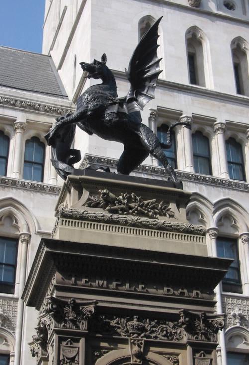
.jpg)
- Albemarle Street
- Baker Street
- Bond Street
- Carnaby Street
- Charing Cross Road
- Denmark Street
- Great Marlborough Street
- Great Portland Street
- Harley Street
- Haymarket
- High Holborn
- Jermyn Street
- Lisson Grove
- Kingsway
- Old Compton Street
- Oxford Street
- Pall Mall
- Park Lane
- Piccadilly
- Regent Street
- Savile Row
- Shaftesbury Avenue
- Strand
- The Mall
- Wardour Street
Notable squares and circuses
The West End is laid out with many notable public squares and circuses.

- Berkeley Square
- Cambridge Circus
- Cavendish Square
- Grosvenor Square
- Hanover Square
- Hyde Park Corner
- Leicester Square
- Manchester Square
- Marble Arch
- Oxford Circus
- Parliament Square
- Piccadilly Circus
- Portman Square
- Russell Square
- Soho Square
- St James's Square
- St Giles Circus
- Trafalgar Square
Transport
London Underground stations in the West End include:

- Baker Street
- Bond Street
- Charing Cross
- Covent Garden
- Embankment
- Goodge Street
- Great Portland Street
- Green Park
- Holborn
- Hyde Park Corner
- Leicester Square
- Marble Arch
- Oxford Circus
- Piccadilly Circus
- Regent's Park
- Russell Square
- Tottenham Court Road
- Warren Street
References
References
- Mills, A., ''Oxford Dictionary of London Place Names'', (2001)
- Robert O. Bucholz and Joseph P. Ward: ''London: A Social and Cultural History, 1550–1750''. Cambridge: Cambridge University Press 2012, p. 333
- "History of the West End of London {{!}} WestEnd.com".
- (October 2005). "Vision for the West End". Westminster City Council.
- E. Gilnert, West End Chronicles (Penguin, 2006)
- Atkins, Peter J. "How the West End was won: the struggle to remove street barriers in Victorian London." [[Journal of Historical Geography]] 19.3 (1993): 265.
- "Westminster City Council ward boundary information".
- "City of Westminstee ward population 2011". Office for National Statistics.
- Greater London Authority, ''[http://www.london.gov.uk/archive/mayor/strategies/sds/london_plan/lon_plan_5.pdf The London Plan: The Sub Regions] {{Webarchive. link. (4 June 2011 '')
This article was imported from Wikipedia and is available under the Creative Commons Attribution-ShareAlike 4.0 License. Content has been adapted to SurfDoc format. Original contributors can be found on the article history page.
Ask Mako anything about West End of London — get instant answers, deeper analysis, and related topics.
Research with MakoFree with your Surf account
Create a free account to save articles, ask Mako questions, and organize your research.
Sign up freeThis content may have been generated or modified by AI. CloudSurf Software LLC is not responsible for the accuracy, completeness, or reliability of AI-generated content. Always verify important information from primary sources.
Report