From Surf Wiki (app.surf) — the open knowledge base
Warrenton, Oregon
City in Oregon, United States
City in Oregon, United States
| Field | Value |
|---|---|
| official_name | Warrenton, Oregon |
| settlement_type | City |
| motto | "Making a Difference through excellence of service" |
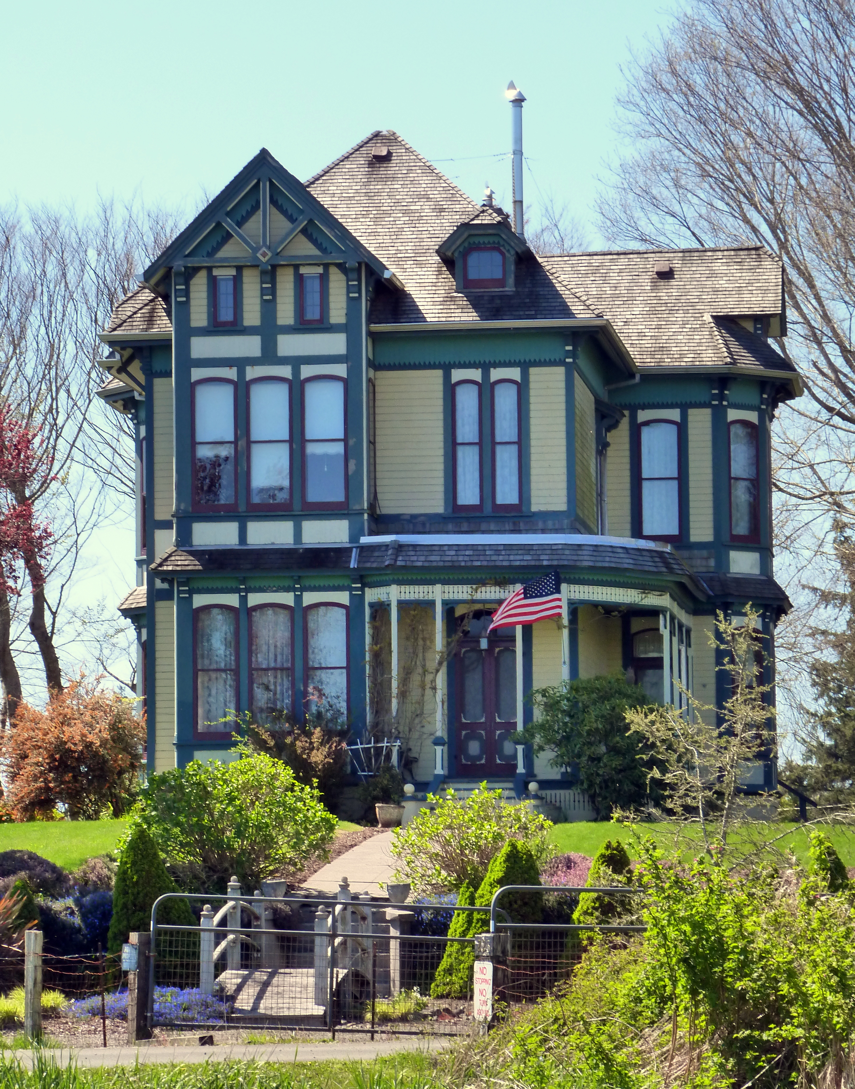
| image_skyline | Warrenton Marina (Clatsop County, Oregon scenic images) (clatDA0042a).jpg |
| image_caption | Warrenton marina |
| image_map | Clatsop_County_Oregon_Incorporated_and_Unincorporated_areas_Warrenton_Highlighted.svg |
| mapsize | 250px |
| map_caption | Location in Oregon |
| subdivision_type | Country |
| subdivision_name | United States |
| subdivision_type1 | State |
| subdivision_name1 | Oregon |
| subdivision_type2 | County |
| subdivision_name2 | Clatsop |
| leader_title | Mayor |
| leader_name | Henry Balensifer |
| established_title | Incorporated |
| established_date | 1899 |
| area_total_sq_mi | 17.03 |
| area_footnotes | |
| area_total_km2 | 44.11 |
| area_land_sq_mi | 12.66 |
| area_land_km2 | 32.78 |
| area_water_sq_mi | 4.37 |
| area_water_km2 | 11.33 |
| population_footnotes | |
| population_as_of | 2020 |
| population_total | 6277 |
| population_density_km2 | 191.49 |
| population_density_sq_mi | 495.93 |
| timezone | Pacific |
| utc_offset | −08:00 |
| timezone_DST | Pacific |
| utc_offset_DST | −07:00 |
| coordinates | |
| elevation_footnotes | |
| elevation_ft | 7 |
| website | |
| postal_code_type | ZIP code |
| postal_code | 97146 |
| area_codes | 503 and 971 |
| blank_name | FIPS code |
| blank_info | 41-78900 |
| blank1_name | GNIS feature ID |
| blank1_info | 2412184 |
| unit_pref | Imperial |
Warrenton is a small, coastal city in Clatsop County, Oregon, United States. Named for D.K. (Daniel Knight) Warren, an early settler, the town is primarily a fishing and logging community. The population was 6,277 according to the 2020 US Census. Warrenton is a less urbanized area close to the Clatsop County seat, Astoria.
History
Prior to the arrival of the first settlers, this land was inhabited by the Clatsop tribe of Native Americans, whose tribe spanned from the south shore of the Columbia River to Tillamook Head. The county in which Warrenton is located was named after these people, as well as the last encampment that the Lewis and Clark Expedition established. Today, a replica of Fort Clatsop still stands just outside of Warrenton city limits.
The first pioneers who settled on the land that would become Warrenton (between 1845 and the early 1850s) were Jeremiah Gerome Tuller, J. W. Wallace, D. E. Pease, Ninian A. Eberman and George Washington Coffenbury. Coffenbury remains a household name in the town, as a local lake in Fort Stevens was named after him.
The first settlement within Warrenton city limits was Lexington, which was laid out in 1848, and served as the first county seat for Clatsop County. The name fell out of use for a time, and the area became known as Skipanon – a name that is now preserved by the Skipanon River, which flows through the town. A Lexington post office operated intermittently between 1850 and 1857; a Skipanon post office operated continuously from 1871 to 1903.
In 1863, the military battery, Fort Stevens, was built in the Warrenton area near the mouth of the Columbia River. Though military activity ceased in 1947, the remains of the fort are preserved as part of Fort Stevens.
Very few improvements were made to the land until the early 1870s, when D. K. Warren bought out some of the first settlers. With the help of Chinese labor, Warren reclaimed a large tract of the land by constructing a dike about 2.5 mi in length, which was completed in 1878. Warren laid out the town in about 1891, and in the following year built the first schoolhouse, at a cost of $1,100, and gave it to the school district.
Warrenton was platted in 1889 and incorporated as a city in 1899. Built on tidal flats, it relied on a system of dikes built by Chinese laborers to keep the Columbia River from flooding the town.
Geography
Standing at the northwestern extreme of Oregon, Warrenton is about 5 mi west of Astoria, across the Youngs Bay bridge, which spans over 4200 ft of the Youngs Bay estuary at the mouth of the Columbia River.
According to the United States Census Bureau, the city has a total area of 17.66 sqmi, 12.77 sqmi of which is land and 4.89 sqmi is water.
Warrenton has one charter fishing port in Hammond and a major commercial fishing port in downtown Warrenton.
Community
Warrenton is made up of the previously individual communities of Flavel, Fort Stevens, Hammond, Lexington, and Skipanon. The Fort Stevens post office operated at the Fort Stevens military post from 1899 to 1949. has its own ZIP Code of 97121, but is now technically part of Warrenton.
Climate
This region experiences mildly warm and dry summers, with no average monthly temperatures above 71.6 F. It is typically overcast or rainy due to its proximity to the ocean, but it does have some sunshine. According to the Köppen Climate Classification system, Warrenton has a warm-summer Mediterranean climate, abbreviated Csb on climate maps.
Demographics
| align-fn = center
2020 census
As of the 2020 census, Warrenton had a population of 6,277. The median age was 38.0 years. 22.9% of residents were under the age of 18 and 17.8% of residents were 65 years of age or older. For every 100 females there were 98.0 males, and for every 100 females age 18 and over there were 96.3 males age 18 and over.
83.0% of residents lived in urban areas, while 17.0% lived in rural areas.
There were 2,497 households in Warrenton, of which 30.5% had children under the age of 18 living in them. Of all households, 43.9% were married-couple households, 19.9% were households with a male householder and no spouse or partner present, and 26.8% were households with a female householder and no spouse or partner present. About 27.3% of all households were made up of individuals and 13.4% had someone living alone who was 65 years of age or older.
There were 2,715 housing units, of which 2,497 were occupied and 218 were vacant, representing an 8.0% vacancy rate. Among occupied housing units, 58.7% were owner-occupied and 41.3% were renter-occupied. The homeowner vacancy rate was 1.7% and the rental vacancy rate was 3.6%.
| Race | Number | Percent |
|---|---|---|
| White | 5,157 | 82.2% |
| Black or African American | 37 | 0.6% |
| American Indian and Alaska Native | 74 | 1.2% |
| Asian | 100 | 1.6% |
| Native Hawaiian and Other Pacific Islander | 25 | 0.4% |
| Some other race | 258 | 4.1% |
| Two or more races | 626 | 10.0% |
| Hispanic or Latino (of any race) | 571 | 9.1% |
2010 census
As of the census of 2010, there were 4,989 people, 1,948 households, and 1,287 families residing in the city. The population density was 390.7 PD/sqmi. There were 2,196 housing units at an average density of 172.0 /sqmi. The racial makeup of the city was 91.5% White, 0.6% African American, 1.3% Native American, 1.1% Asian, 0.7% Pacific Islander, 1.8% from other races, and 3.0% from two or more races. Hispanic or Latino of any race were 5.7% of the population.
There were 1,948 households, of which 31.3% had children under the age of 18 living with them, 48.5% were married couples living together, 11.7% had a female householder with no husband present, 5.9% had a male householder with no wife present, and 33.9% were non-families. 26.4% of all households were made up of individuals, and 10% had someone living alone who was 65 years of age or older. The average household size was 2.45 and the average family size was 2.95.
The median age in the city was 37.6 years. 23.8% of residents were under the age of 18; 9.8% were between the ages of 18 and 24; 25.2% were from 25 to 44; 27.4% were from 45 to 64; and 14% were 65 years of age or older. The gender makeup of the city was 51.0% male and 49.0% female.
2000 census
At the 2000 census, there were 4,096 people, 1,621 households and 1,087 families residing in the city. The population density was 332.2 PD/sqmi. There were 1,799 housing units at an average density of 145.9 /sqmi. The racial makeup of the city was 92.53% White, 0.22% African American, 1.32% Native American, 1.76% Asian, 0.07% Pacific Islander, 1.27% from other races, and 2.83% from two or more races. Hispanic or Latino of any race were 2.91% of the population. 15.4% were of American, 12.1% German, 9.2% English, 8.9% Irish and 8.1% Norwegian ancestry according to Census 2000.
There were 1,621 households, of which 33.7% had children under the age of 18 living with them, 52.1% were married couples living together, 11.0% had a female householder with no husband present, and 32.9% were non-families. 26.5% of all households were made up of individuals, and 10.2% had someone living alone who was 65 years of age or older. The average household size was 2.49 and the average family size was 3.00.
Age distribution was 26.6% under the age of 18, 8.2% from 18 to 24, 29.8% from 25 to 44, 22.4% from 45 to 64, and 13.1% who were 65 years of age or older. The median age was 37 years. For every 100 females, there were 103.0 males. For every 100 females age 18 and over, there were 100.3 males.
The median household income was $33,472, and the median family income was $42,946. Males had a median income of $31,654 versus $21,133 for females. The per capita income for the city was $16,874. About 11.9% of families and 14.2% of the population were below the poverty line, including 19.4% of those under age 18 and 11.7% of those age 65 or over.
Education
Warrenton High School is a small school with a total enrollment of between 300 and 400. Warrenton Grade School is a K-8 school with a total enrollment of about 700 students. In 2021, Warrenton Middle School opened to the east of Highway 101. Warrenton Grade School now serves about 480 students while the new middle school serves about 250 students. All three schools claim the name “Warrior” as their mascot.
Notable people
· Only people who already have a Wikipedia article may appear here. This establishes notability. · The biographical article must mention how they are associated with Warrenton, whether born, raised, or residing. · The fact of their association should have a reliable source cited in this article, unless it is well-known. · Alphabetical by last name please · All others will be deleted without further explanation
- Brian Bruney, Major League Baseball pitcher
- Clara C. Munson, first woman elected mayor in Oregon during the 20th century
- Janet Stevenson, writer
References
References
- "ArcGIS REST Services Directory". United States Census Bureau.
- "U.S. Census website". [[United States Census Bureau]].
- {{GNIS. 2412184
- (1928). "History of the Columbia River Valley From The Dalles to the Sea, Vol. III". The S. J. Clarke Publishing Company.
- "US Gazetteer files 2010". [[United States Census Bureau]].
- {{cite OGN. 7th
- "Hammond".
- "Warrenton, Oregon Köppen Climate Classification (Weatherbase)".
- "Warrenton, Oregon". U.S. Census Bureau.
- Moffatt, Riley Moore. (1996). "Population History of Western U.S. Cities and Towns, 1850–1990". Scarecrow Press.
- "Census Population API". United States Census Bureau.
- (2021). "2020 Decennial Census Demographic Profile (DP1)".
- (2023). "2020 Decennial Census Demographic and Housing Characteristics (DHC)".
- (2021). "2020 Decennial Census Redistricting Data (Public Law 94-171)".
- "U.S. Census website". [[United States Census Bureau]].
This article was imported from Wikipedia and is available under the Creative Commons Attribution-ShareAlike 4.0 License. Content has been adapted to SurfDoc format. Original contributors can be found on the article history page.
Ask Mako anything about Warrenton, Oregon — get instant answers, deeper analysis, and related topics.
Research with MakoFree with your Surf account
Create a free account to save articles, ask Mako questions, and organize your research.
Sign up freeThis content may have been generated or modified by AI. CloudSurf Software LLC is not responsible for the accuracy, completeness, or reliability of AI-generated content. Always verify important information from primary sources.
Report