From Surf Wiki (app.surf) — the open knowledge base
Veghel
| Field | Value | |
|---|---|---|
| name | Veghel | |
| settlement_type | Town and former municipality | |
| image_skyline | {{Photomontage | position=center |
| photo1a | Veghel Markt Anamorphic.jpg | |
| photo2a | Markt 1, Veghel.JPG | |
| photo2b | Villa Klondike - Veghel, 2014 - 2.JPG | |
| photo3a | Heilig Hartbeeld, Binnenhaven Veghel.jpg | |
| photo3b | T.T Graansilo CHV-Terrein Veghel - Cropped.jpg | |
| photo3c | Veghel (N-Br, NL) War memorial.JPG | |
| photo4a | Veghel Rijksmonument 37037 St.Lambertuskerk.JPG | |
| photo4b | Veghel Synagogue.JPG | |
| size | 260 | |
| spacing | 2 | |
| color | #FFFFFF | |
| border | 0 | |
| foot_montage | From top down, left to right: market square of Veghel, | |
| former cantonal court and town hall, Klondike villa, | ||
| Saint Lambert Church, former Synagogue of Veghel | ||
| image_flag | Flag of Veghel.svg | |
| flag_size | 100x67px | |
| image_shield | Veghel wapen.svg | |
| shield_size | 100x80px | |
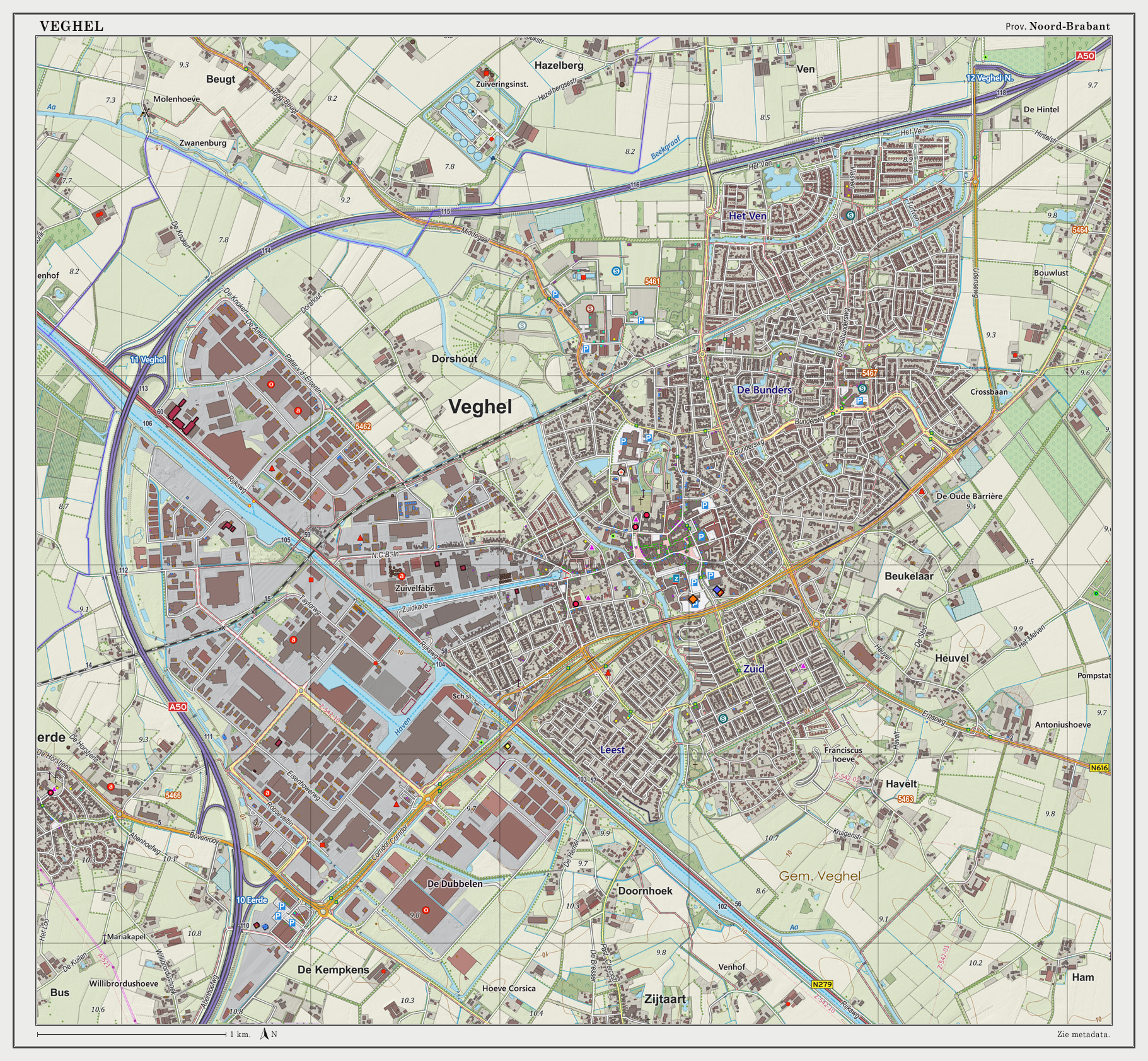
| image_map | Map - NL - Municipality code 0860 (2009).svg | |
| map_alt | Highlighted position of Veghel in a municipal map of North Brabant | |
| map_caption | Location in North Brabant | |
| pushpin_map | Netherlands North Brabant#Netherlands | |
| pushpin_mapsize | 250 | |
| pushpin_map_caption | Location in the province of North Brabant in the Netherlands | |
| coordinates | ||
| subdivision_type | Country | |
| subdivision_name | Netherlands | |
| subdivision_type1 | Province | |
| subdivision_name1 | North Brabant | |
| subdivision_type2 | Municipality | |
| subdivision_name2 | Meierijstad | |
| established_title | ||
| established_date | ||
| established_title1 | Incorporated | |
| established_date1 | 1310 | |
| established_title2 | Market rights | |
| established_date2 | 1719 | |
| extinct_title | Merged | |
| extinct_date | 2017 | |
| total_type | Town | |
| unit_pref | Metric | |
| area_footnotes | ||
| area_total_km2 | 43.06 | |
| elevation_footnotes | {{cite web | |
| url | http://www.ahn.nl/postcodetool | |
| title | Postcodetool for 5461KN | |
| language | nl | |
| author | ||
| work | Actueel Hoogtebestand Nederland | |
| publisher | Het Waterschapshuis | |
| access-date | 6 June 2014 | |
| archive-date | 21 September 2013 | |
| archive-url | https://web.archive.org/web/20130921053543/http://www.ahn.nl/postcodetool | |
| url-status | dead | |
| elevation_m | 10 | |
| elevation_max_footnotes | tags -- | |
| elevation_min_footnotes | tags -- | |
| population_footnotes | ||
| population_total | 32,585 | |
| population_as_of | 2021 | |
| population_density_km2 | auto | |
| population_demonym | Veghelaar | |
| timezone | CET | |
| utc_offset | +1 | |
| timezone_DST | CEST | |
| utc_offset_DST | +2 | |
| postal_code_type | Postcode | |
| postal_code | 5460–5469 | |
| area_code_type | Area code | |
| area_code | 0413 | |
| website |
former cantonal court and town hall, Klondike villa,
Saint Lambert Church, former Synagogue of Veghel
tags -- |access-date = 6 June 2014 |archive-date = 21 September 2013 |archive-url = https://web.archive.org/web/20130921053543/http://www.ahn.nl/postcodetool |url-status = dead

Veghel () is a town and a former municipality in Southern Netherlands. On 1 January 2017 Veghel, together with Schijndel and Sint-Oedenrode, merged into a new municipality called Meierijstad. This created the largest municipality of the province of North Brabant in terms of land area.
History
The first known settlements date to Roman times and were established near the River Aa. The oldest written record of Veghel dates from 1225. It is a document of the Abbey of Berne, written in Latin on a piece of parchment, and describes several properties owned by the abbey. Among those is an estate located in the settlement of "Vehchele".
In 1310, John II of Brabant granted the inhabitants the right to use common grounds. For some decades in the 16th and 17th century, the municipality was ruled by the Lords Van Erp; they resided at their castle of Frisselsteijn in Veghel.
In 1648 Veghel became part of the Republic of the Seven United Netherlands. As a former part of the Duchy of Brabant, Veghel is situated in the Meierij of 's-Hertogenbosch.
Like all the other areas of Brabant and Limburg which were transferred to the Netherlands by the Peace of Westphalia), Veghel was a Catholic town. It suffered economic and religious oppression from the Protestant Dutch and was part of the military buffer zone of the Dutch Republic.
In 1719 Veghel became a market town, when it was granted market rights by the States General of the Netherlands. This gave it the privilege of holding weekly markets and four annual fairs. However, it was not until the French wars of 1795 that Veghel formally received freedom of religion again and received a guarantee of full common rights from the Dutch government.
In 1810 Veghel became part of the Kingdom of the Netherlands. From the middle of the 19th century, the agrarian market town began to industrialize as a consequence of the opening of the South Willem's Canal. The wealth generated by new industries helped support the construction of large-scale buildings, such as the neogothic church by Pierre Cuypers and the neoclassical town hall, dates from that period. Monastic orders developed Veghel as a regional centre of health care and education, which it remains to this day.
In 1940 Veghel was occupied by German troops. With the beginning of Operation Market Garden in 1944, Veghel was one of the dropping-sites for Allied paratroops owing to its strategic location.
The period since the 1950s has seen much growth, with the development of new industries. Also several international companies (e.g. Mars, Incorporated, FrieslandCampina, DMV International, Agrifirm, Kuehne + Nagel, DHL Supply Chain, Alliance Healthcare, ThyssenKrupp and Vanderlande Industries) have established centers in Veghel.
Its shopping centre and marketplace earned the town the name of "Pearl of the Meierij". Veghel is an educational centre for the surrounding district: it has several secondary schools, a senior secondary vocational school, and the Pedagogic Academy, founded in 1872 and one of the oldest higher vocational schools in the area.
Since 1994, Veghel and the neighbouring town of Erp have formed a single municipality.
Demographics
Towns
Population figures as of 1 January 2015, ranked by size:
| Erp | 6,743 | 189/km2 |
|---|
Population centres
Population figures as of 1 January 2015, ranked by size:
| Boerdonk | 778 | 157/km2 |
|---|
Language
The language spoken by the native population is North Meierijs (an East Brabantian dialect, which is very similar to colloquial Dutch).
Nationalities
Compared to other towns in the region, the ethnic makeup of Veghel is relatively diverse. More than 22% of the town's population, or 17% of the municipality's population, is of foreign origin. In total, Veghel is home to people of more than a hundred different nationalities. About 90% of the municipality's total foreign population lives inside the town proper of Veghel.
Local festivals
Every November sees the celebration of the entry of St Nicholas (Sinterklaas). Every two years in June or July, the Slokdarmfestival takes place. On 1 September the harbour festival takes place. In February or March the traditional carnival is held.
Attractions
- The neogothic church of St Lambert and its graveyard containing war graves
- The neorenaissance former town hall
- The neogothic former synagogue (recently rebuilt)
- The Protestant church
- The monastery of the Franciscan Sisters of the Immaculate Conception from the Holy Mother of God with its gardens and church
Notable residents
- Anky van Grunsven, dressage champion.
- Dillianne van den Boogaard, former Netherlands international field hockey player.
- Earnie Stewart, former United States international soccer player.
- Theo Lucius, former professional footballer for PSV Eindhoven and Feyenoord.
- Theo Maassen, comedian and actor.
- Glenn van Berlo, racing driver.
- Frits van Eerd, former general manager of Jumbo and racing driver and founder of Racing Team Nederland.
Twin towns - sister cities
Veghel is twinned with:
- GER Goch in Germany
- FRA Pont-Audemer in France
Gallery
File:Gemeentehuis Veghel, Stadhuisplein 1.JPG|Town Hall of Veghel File:Villa Klondike - Veghel, 2014.jpg|Villa Klondike, former headquarters of the 501st Parachute Infantry Regiment (101st Airborne Division) File:Heilig Hartplein, Binnenhaven Veghel.jpg|Statue of the Sacred Heart of Jesus at the marina square File:West-zijde toren - Veghel - 20239979 - RCE.jpg|Saint Lambert Church File:Overzicht voorgevel en linker zijgevel - Veghel - 20347829 - RCE.jpg|Franciscan Sisters of the Immaculate Conception of the Holy Mother of God nunnery File:Graansilo CHV, J.G. Wiebenga - Het Nieuwe Bouwen.jpg|Modernist silo by J.G. Wiebenga, part of the New Objectivity movement File:Binnenhaven Veghel, Zuidkade, Zuid-Willemsvaart.jpg|Inland port of Veghel File:Langshaven Veghel, De Heus Voeders & Inland Terminal Veghel - Zuid-Willemsvaart+N279.jpg|Inland port of Veghel File:Duits-lijntje-in-veghel-07.jpg|Boxtel-Wesel Railway File:T.T Aa-Brug Veghel (5).JPG|Railroad crossing the Aa river File:Binnenhaven Veghel - 2.jpg|Marina of Veghel File:Binnenhaven Veghel - 3.jpg|Marina of Veghel File:Intocht van Sinterklaas in Veghel 2014 - 2.JPG|Marina of Veghel during the entry parade of Sinterklaas, 16 November 2014
References
References
- "Kerncijfers wijken en buurten 2021".
- CBS. "In twintig jaar bijna 240 gemeenten minder".
- (1 January 2015). "Population per centre as of 01-01-2015". Municipality of Veghel.
- Jos & Cor Swanenberg: Taal in stad en land: Oost-Brabants, {{ISBN. 9012090105
- . (1 January 2014). ["1e + 2e generatie allochtonen (incl. Westerse) per duizend inwoners"](http://brabant.databank.nl/quickstep/QsBasic.aspx?sel_guid=7fed5997-9967-4ac5-bec4-35fb37416223). *[[North Brabant*.
- . (1 January 2015). ["Kerncijfers voor bevolking; leeftijd, herkomstgroepering, geslacht en regio"](http://statline.cbs.nl/Statweb/publication/?VW=T&DM=SLNL&PA=37713&D1=0&D2=0&D3=0,2-55&D4=694&D5=4,l&HD=160203-0842&LA=EN&HDR=T,G4&STB=G1,G3,G2). *[[Statistics Netherlands*.
- . (1 January 2015). ["Buitenlandse nationaliteiten in Veghel per 01-01-2015"](http://www.veghel.nl/document.php?m=91&fileid=72775&f=4118c06824d8f5ad6b93532bd15f2ca0&attachment=0&c=61729). *Municipality of Veghel*.
- . (1 January 2015). ["Kerncijfers wijken en buurten 2015"](http://statline.cbs.nl/Statweb/publication/?VW=T&DM=SLNL&PA=83220ned&D1=16-17&D2=10780-10781,10794,10797,10801,10804,10810,10814&HD=160204-0054&HDR=T&STB=G1). *[[Statistics Netherlands*.
This article was imported from Wikipedia and is available under the Creative Commons Attribution-ShareAlike 4.0 License. Content has been adapted to SurfDoc format. Original contributors can be found on the article history page.
Ask Mako anything about Veghel — get instant answers, deeper analysis, and related topics.
Research with MakoFree with your Surf account
Create a free account to save articles, ask Mako questions, and organize your research.
Sign up freeThis content may have been generated or modified by AI. CloudSurf Software LLC is not responsible for the accuracy, completeness, or reliability of AI-generated content. Always verify important information from primary sources.
Report