From Surf Wiki (app.surf) — the open knowledge base
U.S. Route 95
Highway in the United States

Highway in the United States
| Field | Value | |||||
|---|---|---|---|---|---|---|
| country | USA | |||||
| type | US | |||||
| route | 95 | |||||
| map | {{maplink | frame=yes | frame-align=center | plain=yes | frame-height=290 | |
| type | line | from=U.S. Route 95 in Arizona.map | ||||
| type2 | line | from2=U.S. Route 95 in California.map | ||||
| type3 | line | from3=U.S. Route 95 in Nevada.map | ||||
| type4 | line | from4=U.S. Route 95 in Oregon.map | ||||
| type5 | line | from5=U.S. Route 95 in Idaho.map | ||||
| map_custom | yes | |||||
| map_notes | US 95 highlighted in red | |||||
| length_mi | 1561 | |||||
| length_ref | ||||||
| established | November 11, 1926 | |||||
| direction_a | South | |||||
| terminus_a | Calle 1 to at the Mexican border in San Luis, AZ | |||||
| junction | {{Plainlist | |||||
| *{{Jct | country | USA | I | 8}} in Yuma, AZ | ||
| *{{Jct | country | USA | I | 10}} from Quartzsite, AZ to Blythe, CA | ||
| *{{Jct | country | USA | I | 40}} in Needles, CA | ||
| *{{Jct | country | USA | I | 11 | US | 93}} in Boulder City, NV |
| *{{Jct | state | NV | I | 215}} in Henderson, NV | ||
| *{{Jct | country | USA | I | 15 | US | 93}} in Las Vegas, NV |
| *{{Jct | country | USA | I | 80}} in Winnemucca, NV | ||
| *{{Jct | country | USA | I | 84 | dab1=Oregon–Utah}} south of Fruitland, ID | |
| *{{Jct | country | USA | I | 90}} in Coeur d'Alene, ID }} | ||
| direction_b | North | |||||
| terminus_b | at the Canadian border in Eastport, ID | |||||
| states | Arizona, California, Nevada, Oregon, Idaho | |||||
| previous_type | US 1948 | |||||
| previous_route | 94 | |||||
| next_type | US | |||||
| next_route | 96 |
- in Yuma, AZ
- from Quartzsite, AZ to Blythe, CA
- in Needles, CA
- in Boulder City, NV
- in Henderson, NV
- in Las Vegas, NV
- in Winnemucca, NV
- south of Fruitland, ID
- in Coeur d'Alene, ID }} U.S. Route 95 (US 95) is a major north–south United States Highway in the western United States. It travels through the states of Arizona, California, Nevada, Oregon, and Idaho, staying inland from the Pacific Coast. US 95 begins in San Luis, Arizona, at the Mexican border, where Calle 1—a short spur—leads to Highway 2 in San Luis Río Colorado, Sonora. Its northern terminus is at the Canadian border in Eastport, Idaho, where the roadway continues north as British Columbia Highway 95.
Unlike many other US Highways, it has not seen deletion or replacement on most of its length by an encroaching Interstate Highway corridor, due to its mostly rural and mountainous course. Because of this, it still travels from border to border and is a primary north–south highway in both Nevada and Idaho. This is one of the few US Routes to cross from Mexico to Canada.
Route description
Arizona
Main article: U.S. Route 95 in Arizona
US 95 begins in the United States at the San Luis Port of Entry, which connects it with Mexico. It then follows the Colorado River northward to San Luis and on to Yuma, where it goes through town and crosses I-8. As it leaves Yuma, US 95 is an undivided two-lane highway that passes through the U.S. Army's Yuma Proving Ground.

It then travels northward between the proving ground to the west and the Kofa National Wildlife Refuge to the east until Quartzsite. Here, it merges with I-10 and runs concurrent, heading westward for 17 mi until the Colorado River, where it enters California, just shy of Blythe.
US 95 spends 123.16 mi in Arizona.
California
Main article: U.S. Route 95 in California
US 95 enters California at Blythe along its dual segment/concurrency with I-10. It travels largely parallel to the west bank of the Colorado River until it joins I-40 in Needles. The route then travels north from Goffs to the Nevada state line.
The total distance in California is about 130 mi.
Nevada
Main article: U.S. Route 95 in Nevada
US 95 in Nevada is a divided highway between Cal-Nev-Ari (the SR 163 junction to Laughlin) and Boulder City. It is the longest highway in Nevada, at nearly 647 mi. It joins at the interchange as a multi-lane divided freeway past SR 173 and as part of the concurrent route of I-11 and US 93 in Boulder City. It crosses I-15 at the Spaghetti Bowl, where US 93 becomes concurrent with I-15. US 95 continues as a freeway until again becoming a divided highway at Corn Creek Road, where I-11 temporarily ends, northwest of the Las Vegas Valley.
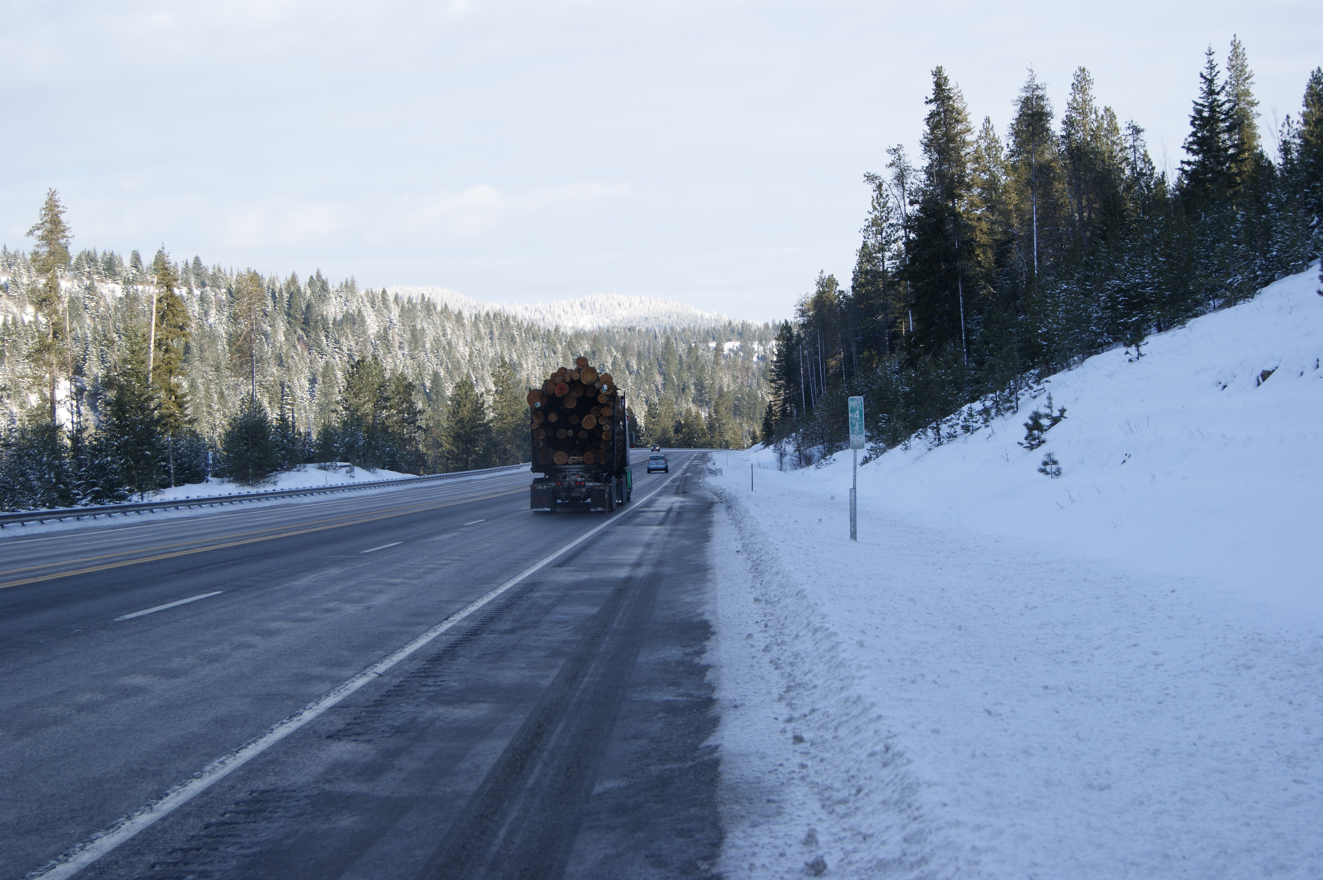
Shortly after entering Nye County, US 95 becomes an undivided two-lane highway past the Mercury interchange, as it meanders northwestward through the state, roughly paralleling the California state line. Along this route, it runs through the Amargosa Valley, serving Beatty before heading north into Goldfield and Tonopah. The highway is concurrent with US 6 for several miles north of Tonopah, before it then heads north towards Hawthorne, Schurz (where it meets US 95 ALT, which heads northwest toward Yerington, Carson City—via US 50 west—Reno—via Ramsey Weeks Cutoff, US 50 east, SR 439 north, and I-80 west—and Fernley) and Fallon. North of Fallon, it meets and runs concurrently with I-80 for 93 mi, from Exit 83 west of Lovelock to Exit 176 at Winnemucca. It then heads north to the border with Oregon at McDermitt, a distance of 73 mi.
Oregon
In Oregon, US 95 is an undivided two-lane highway in the sparsely populated high desert in the southeastern corner of the state, running completely in rural Malheur County. From the Nevada state line at McDermitt, the highway heads north and gradually climbs to its crest at Blue Mountain Pass, at an elevation of 5293 ft above sea level. US 95 descends to Basque Station and Burns Junction at 3960 ft, then eastward down to Rome (3390 ft) and up to Jordan Valley (4389 ft). The highway heads north-northeastward to the Idaho state line, entering southwest of Marsing in Owyhee County. The speed limit on US 95 in Oregon was 55 mph until March 2016, when it was raised to 70 mph to match the speed limits set by Nevada and Idaho.

US 95 is designated the I.O.N. Highway No. 456 (see Oregon highways and routes); "I.O.N." stands for Idaho–Oregon–Nevada. This section of highway is a primary commercial route between Boise and northern California, connecting to I-80 at Winnemucca, Nevada. US 95 crosses into the Mountain Time Zone approximately 35 mi north of Nevada.
Idaho
Main article: U.S. Route 95 in Idaho
US 95 is an undivided two-lane highway during most of its length in Idaho, which is over 538 mi.
US 95 enters Idaho from Oregon in Owyhee County, about 50 mi southwest of Boise. It passes through Homedale and crosses the Snake River before a junction with concurrent US 20 and US 26, which run together for 8 mi. As it proceeds north, US 95 crosses I-84 and US 30 before going through the Payette National Forest. Immediately after Riggins, the highway re-enters the Pacific Time Zone as it crosses the Salmon River. US 95 follows the descending river, then climbs over White Bird Hill to the Camas Prairie, then descends the Lapwai Canyon to the Clearwater River. In August 2015, milepost 420 was replaced with one reading 419.9 to prevent the sign from being stolen by marijuana enthusiasts.
US 95 becomes a four-lane divided highway after crossing the river east of Lewiston; it runs concurrent with US 12 for several miles. The highways split as US 12 continues west to Lewiston, and US 95 turns northwest and climbs a steep grade up to the rolling Palouse. At a junction with US 195, US 95 proceeds north to Moscow as a recently completed divided highway. It becomes an undivided highway in Moscow and continues north to Coeur d'Alene, crossing I-90. US 95 goes north to Sandpoint, where it joins with US 2, after which the highways run concurrent until after Bonners Ferry, where US 2 heads east to Montana, and US 95 continues north to Canada, meeting BC 95 at the Canadian border, at the Eastport-Kingsgate Border Crossing.
History
US 95 was one of the original U.S. highways proposed in the 1925 Bureau of Public Roads numbering plan. Under the original proposal, the highway would only exist in Idaho, from Payette to the Canada–US border north of Eastport. When the plan was adopted by the American Association of State Highway Transportation Officials on November 11, 1926, the route of US 95 had been approved south to Weiser, still existing solely in Idaho. A proposal to extend US 95 south to Winnemucca, Nevada, was considered by AASHO in 1937; however, action was deferred due to sections in Oregon that were incomplete. AASHTO reconsidered the idea at its meeting on June 28, 1939, as part of a larger plan to extend the highway south to Blythe, California. This plan was adopted at that meeting and became effective on January 1, 1940. On June 27, 1960, US 95 was extended further south into Arizona, through Yuma to the Mexican border in San Luis, which still serves as the southern terminus of US 95.
Washington (former)
Main article: U.S. Route 195 Spur (Washington)
North of Lewiston, Idaho, US 95 entered Washington for 0.91 mi, partially concurrent with U.S. Route 195. The route was moved to a new four-lane divided highway that bypassed Washington in October 1977. The section was replaced by an extension of US 195 and a spur route created in 1979.
Idaho
In April 2005, the Idaho legislature approved a bill to widen the entire highway from two lanes to four lanes for the entire route starting at the US-Canada port of entry in Eastport, and ending at the border with Oregon in remote Owyhee County. The contract for the project was awarded to Washington Group International and CH2M Hill. The contract is worth more than $1.2 billion, and is slated to last for more than six years, cover 13 major reconstruction projects, affecting over 250 mi of the highway's nearly 460 mi in the state.
The major factors in the reconstruction are due to the fact that US 95 is the only route that runs from north to south in western Idaho, starting at Eastport in the north and ending in remote Owyhee County; as well as safety concerns because there have been numerous accidents and fatalities on the narrow and very dangerous curves. This change started with the reconstruction and improvements made to White Bird Hill. Major projects have been undertaken including on the Coeur d'Alene Indian Reservation.
The first stage was completed in August 2005 from just south of Coeur d'Alene to Fighting Creek Road, and is an upgraded four-lane highway for approximately 10 mi. The second stage, from Fighting Creek Road to Lake Creek on the Coeur d'Alene Indian Reservation, was completed in late July-early August 2006 and upgraded a 7 mi stretch of the highway. The third stage, from Lake Creek to Worley, started mid-to-late 2006 and was completed in 2008. This section is significant, as it is on the Coeur d'Alene Indian Reservation. The "new" highway bypasses the Coeur d'Alene Casino, the largest business on the reservation, with the old highway becoming an alternate route that will connect the highway to the casino and the more remote regions of the reservation. This project improved a 20 mi stretch of highway and shortened the length of the highway by about 20 mi.
Also, a nearly 20 mi stretch was completed in 2007 from just north of Lewiston to 6 mi south of Moscow.
Future
Nevada
.svg)
US 95 is part of a proposed northwestward extension of Interstate 11 (I-11) from Las Vegas. The interstate highway would primarily follow the US 95 corridor through central and northwestern Nevada, extending to I-80 near Reno and Sparks via Tonopah. In 2018, the Nevada Department of Transportation had initiated public outreach regarding its long-range planning efforts to narrow down options for the future I-11 corridor.
Major intersections
;Arizona : Calle 1 at the Mexico–US border in San Luis : in Yuma : in Quartzsite. The highways travel concurrently to Blythe, California. ;California : in Needles. The highways travel concurrently to west-northwest of Needles. ;Nevada : in Boulder City. The highways travel concurrently to Las Vegas. : in Henderson : in Henderson. The highways travel concurrently to Las Vegas. : in Las Vegas : in Tonopah. The highways travel concurrently to Coaldale. : in Fallon. The highways travel concurrently through Fallon. : south-southwest of Lovelock. The highways travel concurrently to Winnemucca. ;Oregon : No major intersections ;Idaho : southeast of Parma. The highways travel concurrently to north-northeast of Parma. : south of Fruitland : south of Fruitland. The highways travel concurrently to Fruitland. : west of Spalding. The highways travel concurrently to Lewiston. : north-northwest of Lewiston : in Coeur d'Alene : in Sandpoint. The highways travel concurrently to north-northeast of Bonners Ferry. : at the Canada–US border in Eastport
References
References
- "US 95 Overview Map".
- Endpoints of US highways: [https://www.usends.com/endpoints/us-90-us-99/95 U.S. Highway 95] and [http://usends.com/630.html U.S. Highway 630]{{self-published inline. (July 2022)
- Arizona Department of Transportation. "2006 ADOT Highway Log".
- Elliot, Njus. (March 1, 2016). "Speed limits jump this week on some Oregon highways". The Oregonian.
- Kruesi, Kimberlee. (August 18, 2015). "Idaho replaces mile marker 420 with 419.9 to thwart stoners".
- Joint Board on Interstate Highways. (1925). "Report of Joint Board on Interstate Highways, October 30, 1925, Approved by the Secretary of Agriculture, November 18, 1925". [[United States Department of Agriculture]].
- (October 17, 2008). "U.S. 95 and Idaho's North and South Highway". [[Federal Highway Administration]].
- (1970). "Annual Traffic Report 1970". [[Washington State Highway Commission]].
- {{cite WSDOT map. (1978)
- Harrell, Sylvia. (October 27, 1977). "The new hill route: $12 million and two decades in the making". [[Lewiston Morning Tribune]].
- (April 23, 1979). "State Highway Routes".
- Marroquin, Art. (July 13, 2018). "Public meetings on future of I-11 to be held in 7 Nevada cities". [[Las Vegas Review-Journal]].
- Alonzo, Amy. (July 26, 2018). "Interstate connecting Canada, Mexico might pass near Fernley". [[Reno Gazette–Journal]].
- Rand McNally. (2014). "The Road Atlas". Rand McNally.
This article was imported from Wikipedia and is available under the Creative Commons Attribution-ShareAlike 4.0 License. Content has been adapted to SurfDoc format. Original contributors can be found on the article history page.
Ask Mako anything about U.S. Route 95 — get instant answers, deeper analysis, and related topics.
Research with MakoFree with your Surf account
Create a free account to save articles, ask Mako questions, and organize your research.
Sign up freeThis content may have been generated or modified by AI. CloudSurf Software LLC is not responsible for the accuracy, completeness, or reliability of AI-generated content. Always verify important information from primary sources.
Report