From Surf Wiki (app.surf) — the open knowledge base
Tung Lo Wan Road
Road in Hong Kong
Road in Hong Kong
| Field | Value |
|---|---|
| name | Tung Lo Wan Road |
| native_name | zh-Hant |
| image | HK Tung Lo Wan Road east.jpg |
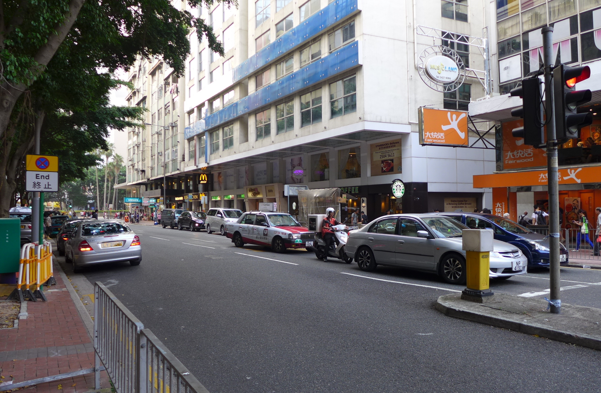
| caption | Eastern end of Tung Lo Wan Road near Tin Hau station |
| location | Hong Kong |
| inauguration_date |
Tung Lo Wan Road () is a road in Causeway Bay and Tai Hang on the north side of Hong Kong Island in Hong Kong. The road joins east with King's Road, Tin Hau Temple Road, Causeway Road and west with Yee Wo Street, Irving Street, Leighton Road and Causeway Road.
History
The road draws the early shore line in the Tung Lo Wan, the native name of Causeway Bay. It was originally part of Shaukiwan Road. In 1883, Hong Kong Government reclaimed part of the bay to present-day Causeway Road. In 1935, the road was renamed to the current name of Tung Lo Wan Road.
Landmarks
Landmarks along Tung Lo Wan Road include (from west to east):
- St. Paul's Convent School
- St. Paul's Hospital
- St. Mary's Church (No. 2A)
- Causeway Bay (Moreton Terrace) Bus Terminus ()
- Fuk Tak Temple, Tai Hang ()
- Chinese Recreation Club
- Metropark Hotel Causeway Bay Hong Kong () (No. 148)
- Queen's College
This article was imported from Wikipedia and is available under the Creative Commons Attribution-ShareAlike 4.0 License. Content has been adapted to SurfDoc format. Original contributors can be found on the article history page.
Ask Mako anything about Tung Lo Wan Road — get instant answers, deeper analysis, and related topics.
Research with MakoFree with your Surf account
Create a free account to save articles, ask Mako questions, and organize your research.
Sign up freeThis content may have been generated or modified by AI. CloudSurf Software LLC is not responsible for the accuracy, completeness, or reliability of AI-generated content. Always verify important information from primary sources.
Report