From Surf Wiki (app.surf) — the open knowledge base
Tucannon River
| Field | Value |
|---|---|
| name | Tucannon River |
| name_etymology | Nez Perce place name for "digging", in this case the edible root of the camas |
| image | Tucannon-snake-confluence.JPG |
| image_size | 300 |
| image_caption | Confluence of the Tucannon with the Snake River |
| map_size | 300 |
| pushpin_map | USA Washington |
| pushpin_map_size | 300 |
| pushpin_map_caption | Location of the mouth of Tucannon River in Washington |
| subdivision_type1 | Country |
| subdivision_name1 | United States |
| subdivision_type2 | State |
| subdivision_name2 | Washington |
| subdivision_type4 | County |
| subdivision_name4 | Columbia County, Garfield County |
| length | 62.3 mi |
| discharge1_location | near Starbuck, 7.9 mi from the mouth |
| discharge1_min | 15 cuft/s |
| discharge1_avg | 170 cuft/s |
| discharge1_max | 7980 cuft/s |
| source1 | near Diamond Peak |
| source1_location | Blue Mountains, Umatilla National Forest, Garfield County |
| source1_coordinates | |
| source1_elevation | 6189 ft |
| mouth | Snake River |
| mouth_location | near Starbuck, Columbia County |
| mouth_coordinates | |
| mouth_elevation | 541 ft |
| basin_size | 502 sqmi |
The Tucannon River is a tributary of the Snake River in the U.S. state of Washington. It flows generally northwest from headwaters in the Blue Mountains of southeastern Washington to meet the Snake 4 mi upstream from Lyons Ferry Park and the mouth of the Palouse River. The Tucannon is about 62 mi long. Part of the upper river flows through the Wenaha–Tucannon Wilderness.
Watershed
The Tucannon basin of 502 mi2 ranges in elevation from about 540 ft above sea level at the mouth on the Snake River to about 6400 ft in the Umatilla National Forest of the Blue Mountains.
River flows in the Tucannon basin depend solely on precipitation and groundwater. Studies in the early 1990s suggested that these flows would not be able to meet all of the claims, public and private, on the water resources of the lower river. In particular, farm irrigation projects were competing with fisheries for limited water. The Washington Department of Ecology named the Tucannon basin a Watershed Resource Inventory Area (WRIA) and in 1995 began hearings about how to allocate the water.
History
Native peoples
The lower Snake River was home to bands of the Palouse and other Sahaptin-speaking people, including Nez Perce, Yakama, Walla Walla, Umatilla, and Wanapum. The Blue Mountains formed the western part of a 17,000,000 acre region traditional to the aboriginal Nimi'ipuu people, renamed Nez Perce by Lewis and Clark when they arrived in the region in 1805. The horse was central to the lives of both the Palouse and the Nez Perce.
The Nez Perce Trail followed part of the Touchet and Tucannon rivers, extending east from Wallula and reaching the Touchet below Waitsburg. From there it followed the southern bank of the Touchet River to present day Dayton. Here it crossed the river and followed Patit Creek northeast.
Lewis and Clark expedition
On their return trip to St. Louis on May 2, 1806, Lewis and Clark followed the Nez Perce Trail, crossing over from Patit Creek about 2.5 mi east of present-day Dayton to meet the Tucannon. Only 12 mi beyond their campsite they reached the stream.
Lewis and Clark camped on the Pataha Creek (a tributary to the Tucannon), which is recorded as the first locality for some distance where they were able to find ample firewood.
British fur trade
The fur industry was important in the region. The Tucannon River provided a profitable area for beaver and otter trapping, which were abundant. F. A. Shaver's 1906 book, An Illustrated History of Southeastern Washington, said that prior to 1834 the British Hudson's Bay Company (HBC) (the British fur-trading company) personnel were "undisputed occupants since 1829." A party was led by John Work, who served as an agent of the HBC. Starting from Fort Nez Perce in September 1831, Work and a 56-person party followed the Nez Perce Trail to the Upper Snake River country.
American survey and settlement
In the late winter of 1834, Captain Benjamin Bonneville crossed the Tucannon on the Nez Perce Trail, surveying the Northwest on behalf of the United States government.
A number of wagon roads were built through the area in the 1860s (including one between Walla Walla, Washington, and Lewiston, Idaho, in 1862). Settlers slowly drifted into the Tucannon River area in the 1860s, but in the early 1870s settlement rapidly increased.
Cayuse War

In 1848, during the Cayuse War Captain Lawrence Hall's Company fought an engagement with the Cayuse on the Tucannon River:
Coeur d'Alene War
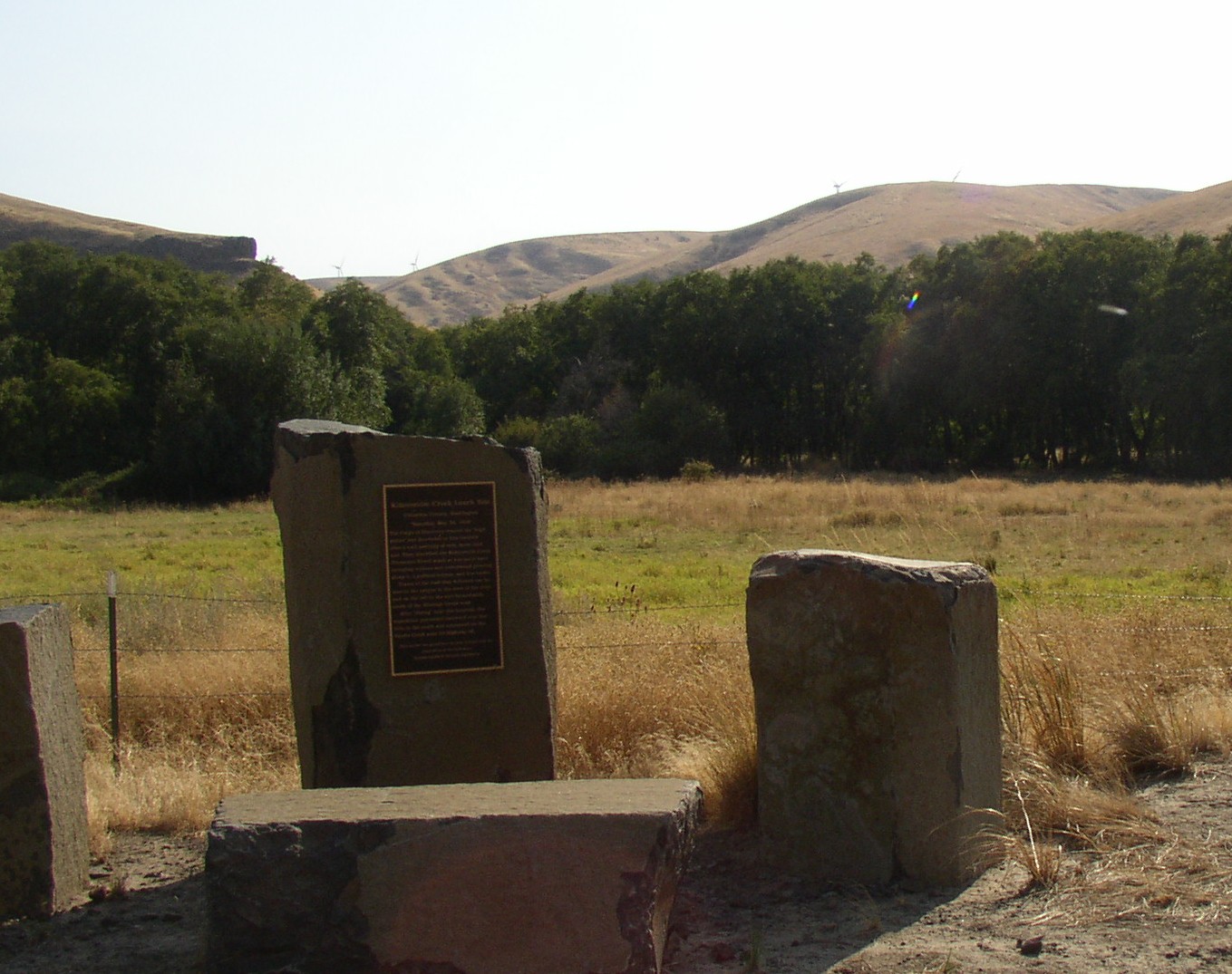
During the Coeur d'Alene War on August 7, 1858, Captain Erasmus D. Keyes with a detachment of dragoons was ordered to the Snake River to erect a fort at a crossing point near the Palouse River. He selected the mouth of Tucannon River to establish Fort Taylor (a supply depot which honored Captain Oliver H. P. Taylor—killed that same year while he served with Lt. Colonel Edward Steptoe against the Spokanes in April. On August 25 this point served as a crossing point for Colonel George Wright, who led a force of 570 men across the Snake. It took several days to find a path to ascend from the Snake valley into the badlands above; this journey led them to the Battle of Four Lakes on September 5.
Later

The railroad town of Starbuck on the Tucannon River was incorporated in the 1880s. In its early years Starbuck was a division point on the main line of the Oregon Railroad and Navigation Company. At one time up to 24 trains a day went through the town. Little Goose Dam, which became operational in 1975 was near Starbuck. It temporarily boosted the local population and labor force greatly as construction workers and their families moved into the town.
Blue Sky Wind built the Hopkins Ridge Wind Farm in Columbia County in 2005. Peak output from the project, bought by Puget Sound Energy and transmitted by the Bonneville Power Administration, is 150 megawatts (MW).
Recreation

All tributaries of the Tucannon River are closed to fishing, and sections of the Tucannon River are also closed to protect four federally listed threatened and endangered fish species: spring/summer and fall chinook salmon as well as bull trout and steelhead. The areas which are closed protect the main spawning grounds.
Steelhead may be caught, following prescribed fishing restrictions. The accessible areas of the Tucannon River are popular fishing areas. The Tucannon winds through national forest, state, and private lands, some of which are in stretches open to fishing. There are eight fishing ponds open to public fishing developed by the Washington Department of Fish and Wildlife and routinely stocked. Rainbow, Deer, Blue, Spring, Curl, Beaver, Watson and fly fishing-only Big Four Lake make up these trout-catching opportunities. Fishing access can also be gained at the Tucannon Fish Hatchery, where the river is bordered by state or national forest land.
The Tucannon Campground is operated by the U.S. Forest Service in the Tucannon River Valley as one of 15 campgrounds in the Pomeroy Ranger District.
Washington State Parks operates Camp Wooten Retreat Center on the upper Tucannon River. The center, near Pomeroy, offers cabins, dining and meeting halls, and other accommodations for large groups. Activities include hiking, canoeing on Donnie Lake, swimming in an indoor pool, archery, softball, tennis, and basketball.
References
References
- Bright, William. (2004). "Native American Placenames of the United States". University of Oklahoma Press.
- "Water-Data Report 2011: 13344500 Tucannon River Near Starbuck, WA". United States Geological Survey.
- "Water-Data Report 2011: 13344500 Tucannon River Near Starbuck, WA". United States Geological Survey.
- Derived from [[Google Earth]] using GNIS coordinates
- (September 10, 1979). "Tucannon River". Geographic Names Information System.
- Covert, John. (1995). "Initial Watershed Assessment Tucannon River Watershed". State of Washington.
- "National Hydrography Dataset High-Resolution Flowline Data". United States Geological Survey.
- United States Geological Survey. "United States Topographic Map". TopoQuest.
- Montgomery Water Group. (February 1995). "Tucannon River Watershed Initial Assessment". Washington State Department of Ecology.
- (1986). "Renegade Tribe; The Palouse Indians and the Invasion of the Inland Pacific Northwest". Washington State University Press, Pullman, Washington.
- Meriwether Lewis. (1817). "Travels to the Source of the Missouri River and Across the American Continent to the Pacific Ocean". Longman, Hurst, Rees, Orme, and Brown.
- Lewis, Meriwether. (1904). "History of the Expedition Under the Command of Captains Lewis & Clark...With an Account of the Louisiana Purchase". A. S. Barnes and Company.
- (December 7, 1889). "Letter from the Secretary of War". War Department.
- (October 26, 2012). "Hopkins Ridge (Blue Sky) Interconnection". Bonneville Power Administration Transmission.
- U.S. Forest Service Summary of Recreational Opportunities, 2004, copy available at [http://www.fs.fed.us/r6/uma/nr/fishwildlife/fishing-pomeroy.shtml]
- (2013). "Camp Wooten ELC". Washington State Parks.
This article was imported from Wikipedia and is available under the Creative Commons Attribution-ShareAlike 4.0 License. Content has been adapted to SurfDoc format. Original contributors can be found on the article history page.
Ask Mako anything about Tucannon River — get instant answers, deeper analysis, and related topics.
Research with MakoFree with your Surf account
Create a free account to save articles, ask Mako questions, and organize your research.
Sign up freeThis content may have been generated or modified by AI. CloudSurf Software LLC is not responsible for the accuracy, completeness, or reliability of AI-generated content. Always verify important information from primary sources.
Report