From Surf Wiki (app.surf) — the open knowledge base
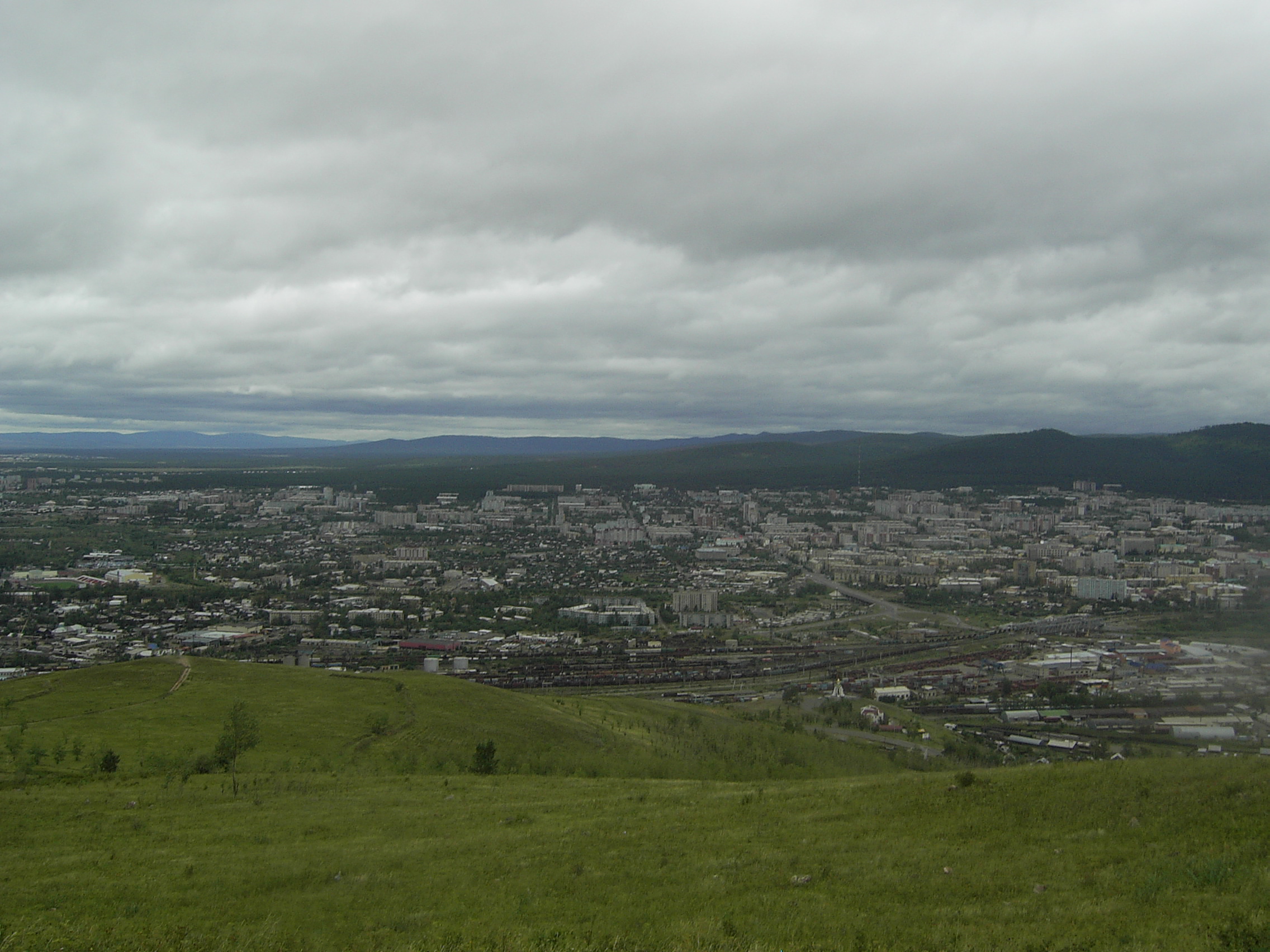
Transbaikal
Mountainous region east of Lake Baikal in Russia
Mountainous region east of Lake Baikal in Russia

Transbaikal, Trans-Baikal, Transbaikalia (Забайка́лье), or Dauria (Даурия, Dauriya) is a mountainous region to the east of or "beyond" (trans-) Lake Baikal at the south side of the eastern Siberia and the south-western corner of the Far Eastern Russia.
The steppe and wetland landscapes of Dauria are protected by the Daursky Nature Reserve, which forms part of a World Heritage Site named "Landscapes of Dauria".
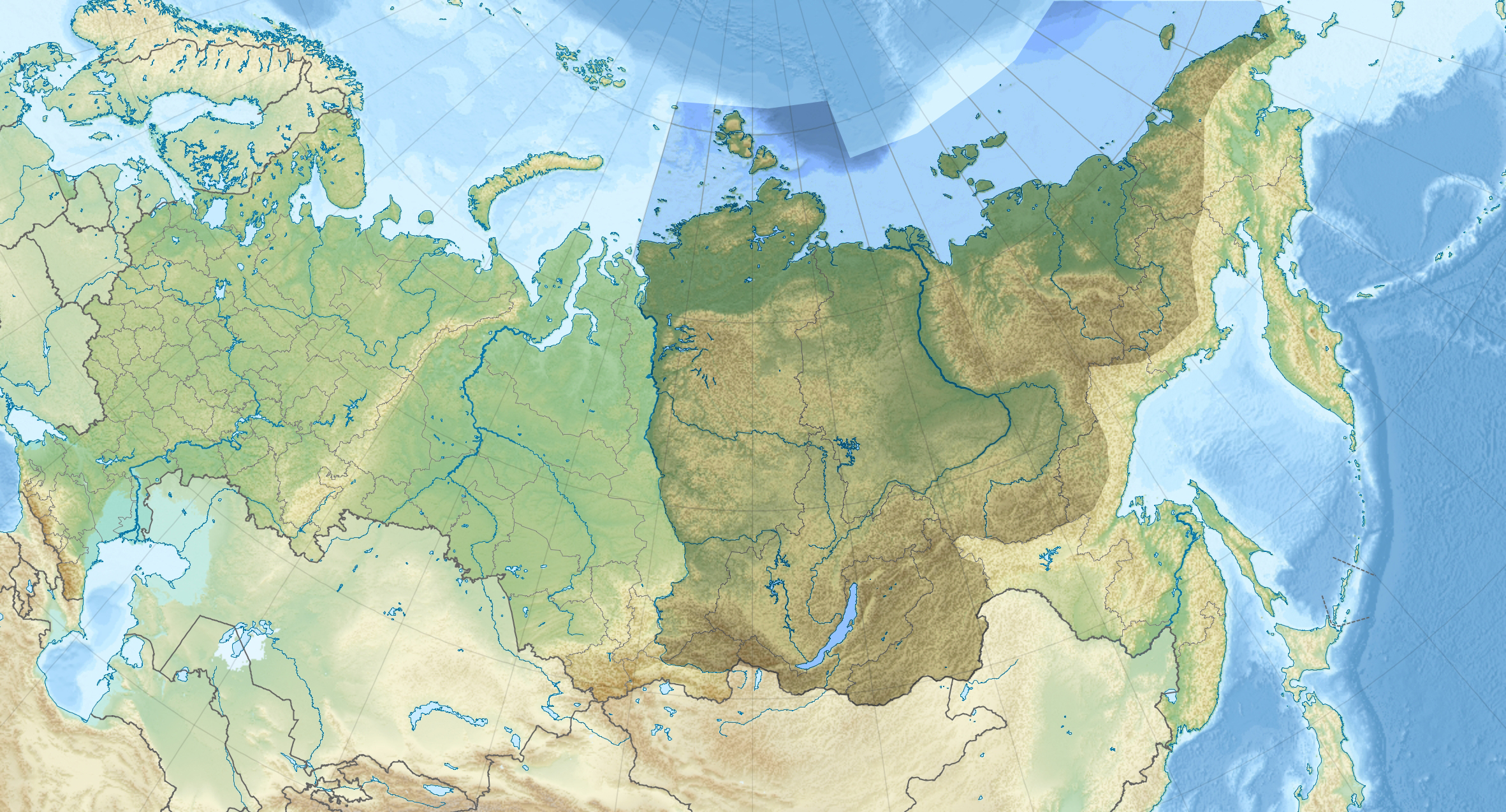
Geography
Dauria stretches for almost 1,000 km from north to south from the Patom Plateau and North Baikal Highlands to the Russian state borders with Mongolia and China. The Transbaikal region covers more than 1,000 km from west to east from Lake Baikal to the meridian of the confluence of the Shilka and Argun Rivers. To the west and north lies the Irkutsk Oblast; to the north the Republic of Sakha (Yakutia), to the east the Amur Oblast. Oktyabrsky (Октябрьский) village, Amur Oblast, near the Russia-China border is a large site of uranium mining and processing facilities.
Part of the area is protected by the Dauria Nature Reserve.

Fauna and flora
The region has given its name to various animal species including Daurian hedgehog, and the following birds: Asian brown flycatcher (Muscicapa daurica), Daurian jackdaw, Daurian partridge, Daurian redstart, Daurian starling, Daurian shrike and the red-rumped swallow (Hirundo daurica). The Mongolian wild ass (Equus hemionus hemionus) is extinct in the region.
The common name of the famous Dahurian larch (Larix gmelinii) as well as that of the Dahurian buckthorn (Rhamnus davurica) are also derived from the same source.
History

The ancient proto-Mongol slab-grave culture occupied the area around Lake Baikal in the Transbaikal territory. History of Mongolia, Volume I, 2003.
In 1667, Gantimur opened Transbaikalia and the country on the Amur River to the influence of the Tsardom of Russia.
In Imperial Russia, Dauria itself became an oblast - the Transbaikal Oblast (), established in 1851, with its capital at Nerchinsk, later at Chita. It became part of the short-lived Far Eastern Republic between 1920 and 1922.
, the administration of the historic Transbaikalia includes Buryatia and the Zabaykalsky Krai; the area makes up nearly all of the territory of these two federal subjects.
References
References
- Shandala N, Filonova A, Titov A, Isaev D, Seregin V, Semenova V, and Metlyaev EG (2009), [http://hpschapters.org/2009AM/program/singlesession.php3?sessid=P#114 Radiation situation nearby the uranium mining facility], Environmental section poster P.9, 54th Annual Meeting of the Health Physics Society, 12–16 July 2009, Minneapolis, MN, USA.
- "The exhibition "Iris Russia"". flower-iris.ru.
This article was imported from Wikipedia and is available under the Creative Commons Attribution-ShareAlike 4.0 License. Content has been adapted to SurfDoc format. Original contributors can be found on the article history page.
Ask Mako anything about Transbaikal — get instant answers, deeper analysis, and related topics.
Research with MakoFree with your Surf account
Create a free account to save articles, ask Mako questions, and organize your research.
Sign up freeThis content may have been generated or modified by AI. CloudSurf Software LLC is not responsible for the accuracy, completeness, or reliability of AI-generated content. Always verify important information from primary sources.
Report