From Surf Wiki (app.surf) — the open knowledge base
Three Rivers South, Oregon
Unincorporated community in the state of Oregon, United States
Unincorporated community in the state of Oregon, United States
| Field | Value |
|---|---|
| official_name | Three Rivers South, Oregon |
| settlement_type | Census-designated place |
| image_skyline | 2017-08-15 Three Rivers.jpg |
| image_caption | Second Tern Thrift Shop in Three Rivers South |
| image_map | Deschutes_County_Oregon_Incorporated_and_Unincorporated_areas_Three_Rivers_Highlighted.svg |
| mapsize | 250px |
| map_caption | Location of Three Rivers South, Oregon |
| subdivision_type | Country |
| subdivision_name | United States |
| subdivision_type1 | State |
| subdivision_name1 | Oregon |
| subdivision_type2 | County |
| subdivision_name2 | Deschutes |
| unit_pref | Imperial |
| area_footnotes | |
| area_total_km2 | 19.50 |
| area_land_km2 | 19.50 |
| area_water_km2 | 0.00 |
| area_total_sq_mi | 7.53 |
| area_land_sq_mi | 7.53 |
| area_water_sq_mi | 0.00 |
| population_as_of | 2020 |
| population_footnotes | |
| population_total | 3925 |
| population_density_km2 | 201.27 |
| population_density_sq_mi | 521.25 |
| timezone | Pacific (PST) |
| utc_offset | -8 |
| timezone_DST | PDT |
| utc_offset_DST | -7 |
| elevation_footnotes | |
| elevation_ft | 4187 |
| coordinates | |
| postal_code_type | ZIP code |
| postal_code | 97707 |
| area_codes | 458 and 541 |
| blank_name | FIPS code |
| blank_info | 41-73225 |
| blank1_name | GNIS feature ID |
| blank1_info | 1867481 |
Three Rivers South or Three Rivers
Geography
Three Rivers South is located in south-central Deschutes County, south of Sunriver and north of La Pine, just west of U.S. Route 97. The Deschutes and Little Deschutes rivers join in the CDP, with the Little Deschutes passing through the eastern part of the CDP and the Deschutes River passing through the west. The Spring River is a short spring-fed river in the northern part of the CDP that joins the Deschutes River from the west.
According to the United States Census Bureau, the CDP has a total area of 19.5 km2, all counted as land.
Demographics
As of the census of 2000, there were 2,445 people, 991 households, and 709 families residing in the CDP. The population density was 257.6 PD/sqmi. There were 1,575 housing units at an average density of 165.9 /sqmi. The racial makeup of the CDP was 94.81% White, 0.37% Black, 1.43% Native American, 0.29% Asian, 0.41% from other races, and 2.70% from two or more races. Hispanic or Latino of any race were 2.70% of the population.
There were 991 households, out of which 32.0% had children under the age of 18 living with them, 59.2% were married couples living together, 8.4% had a female householder with no husband present, and 28.4% were non-families. 20.1% of all households were made up of individuals, and 5.7% had someone living alone who was 65 years of age or older. The average household size was 2.47 and the average family size was 2.81.
In the CDP, the population was spread out, with 24.5% under the age of 18, 5.6% from 18 to 24, 31.5% from 25 to 44, 26.9% from 45 to 64, and 11.5% who were 65 years of age or older. The median age was 39 years. For every 100 females, there were 103.8 males. For every 100 females age 18 and over, there were 103.8 males.
The median income for a household in the CDP was $33,939, and the median income for a family was $36,464. Males had a median income of $30,585 versus $25,063 for females. The per capita income for the CDP was $19,410. About 14.1% of families and 16.8% of the population were below the poverty line, including 17.9% of those under age 18 and 19.5% of those age 65 or over.
Education
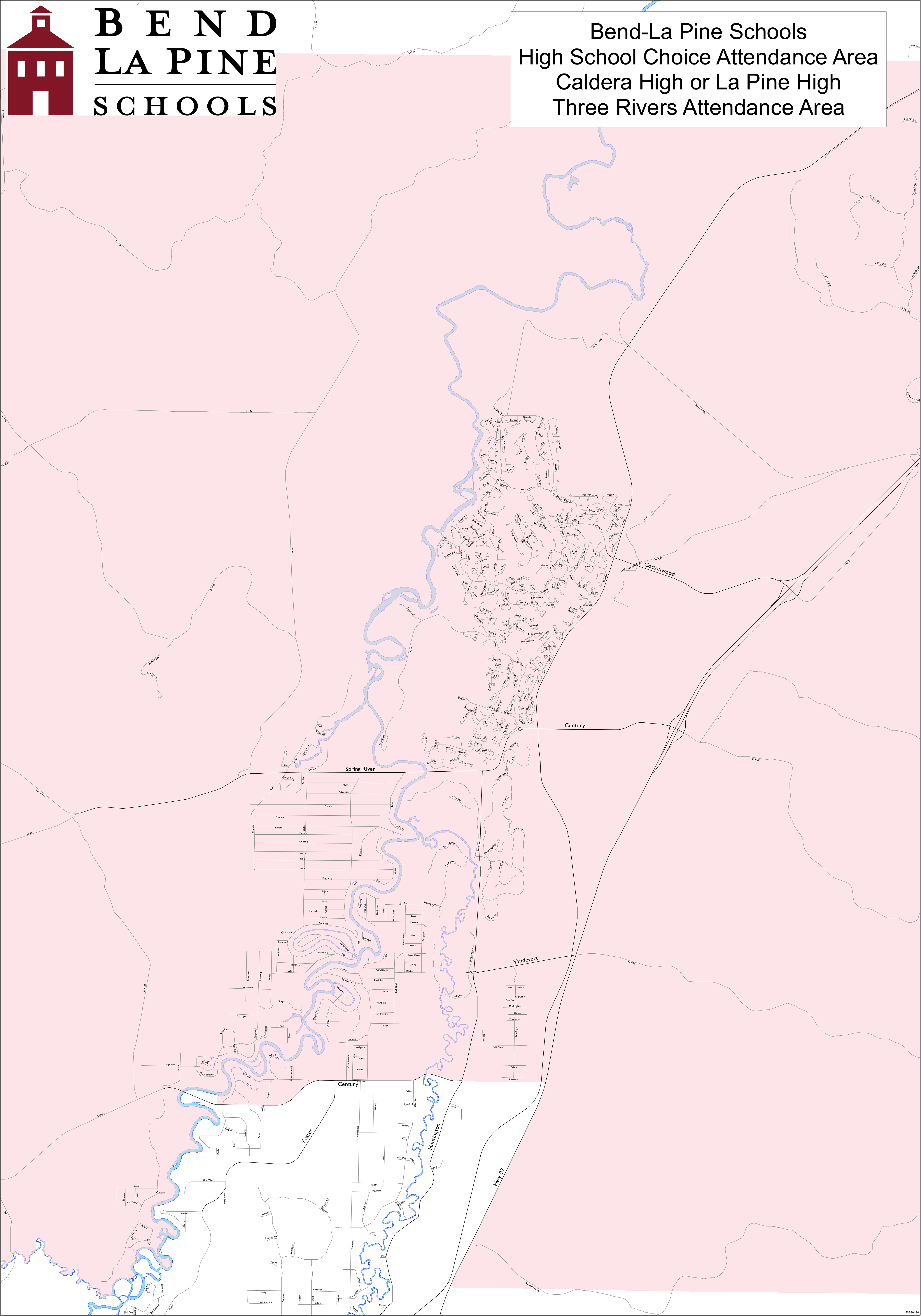
It is in the Bend-La Pine School District. Zoned schools are:
- Three Rivers School
- Residents may choose between Caldera High School or La Pine High School.
Deschutes County is in the boundary of Central Oregon Community College.
References
References
- "ArcGIS REST Services Directory". United States Census Bureau.
- (2023). "Three Rivers OR ZIP Code". zipdatamaps.com.
- "U.S. Census website". [[United States Census Bureau]].
- {{GNIS. 1867481
- "Geographic Identifiers: 2010 Demographic Profile Data (G001): Three Rivers South CDP, Oregon". U.S. Census Bureau, American Factfinder.
- "Census of Population and Housing". Census.gov.
- "Census Population API". United States Census Bureau.
- Geography Division. (December 18, 2020). "2020 CENSUS - SCHOOL DISTRICT REFERENCE MAP: Deschutes County, OR". [[U.S. Census Bureau]].
- Geography Division. (April 9, 2021). "2020 CENSUS - CENSUS BLOCK MAP: Three Rivers CDP, OR". [[U.S. Census Bureau]].
- "La Pine and Sunriver Area Map". [[Bend-La Pine School District]].
- "High School Choice Attendance Area". [[Bend-La Pine School District]].
- "Oregon Community Colleges and Community College Districts". [[Oregon Department of Community Colleges & Workforce Development]].
This article was imported from Wikipedia and is available under the Creative Commons Attribution-ShareAlike 4.0 License. Content has been adapted to SurfDoc format. Original contributors can be found on the article history page.
Ask Mako anything about Three Rivers South, Oregon — get instant answers, deeper analysis, and related topics.
Research with MakoFree with your Surf account
Create a free account to save articles, ask Mako questions, and organize your research.
Sign up freeThis content may have been generated or modified by AI. CloudSurf Software LLC is not responsible for the accuracy, completeness, or reliability of AI-generated content. Always verify important information from primary sources.
Report