From Surf Wiki (app.surf) — the open knowledge base
Theog
| Field | Value |
|---|---|
| name | Theog |
| official_name | Theog |
| settlement_type | Town |
| image_skyline | Theog Town View from Kanag Tibba.jpg |
| pushpin_map | India Himachal Pradesh#India |
| pushpin_label_position | right |
| pushpin_map_caption | Location in Himachal Pradesh, India |
| coordinates | |
| subdivision_type | Country |
| subdivision_name | India |
| subdivision_type1 | State |
| subdivision_name1 | Himachal Pradesh |
| subdivision_type2 | District |
| subdivision_name2 | Shimla |
| established_title | |
| leader_title | MLA |
| leader_name | Kuldeep Rathore |
| unit_pref | Metric |
| elevation_m | 2310 |
| population_total | 4,353 |
| population_as_of | 2011 |
| population_density_km2 | auto |
| demographics_type1 | Languages |
| demographics1_title1 | Official |
| demographics1_info1 | Hindi |
| demographics1_title2 | Regional |
| demographics1_info2 | Mahasu Pahari |
| timezone1 | IST |
| utc_offset1 | +5:30 |
| postal_code_type | PIN |
| postal_code | 171201 |
| area_code_type | Telephone code |
| area_code | 91 1783 xxxxxx |
| registration_plate | HP-09 |
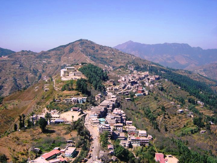
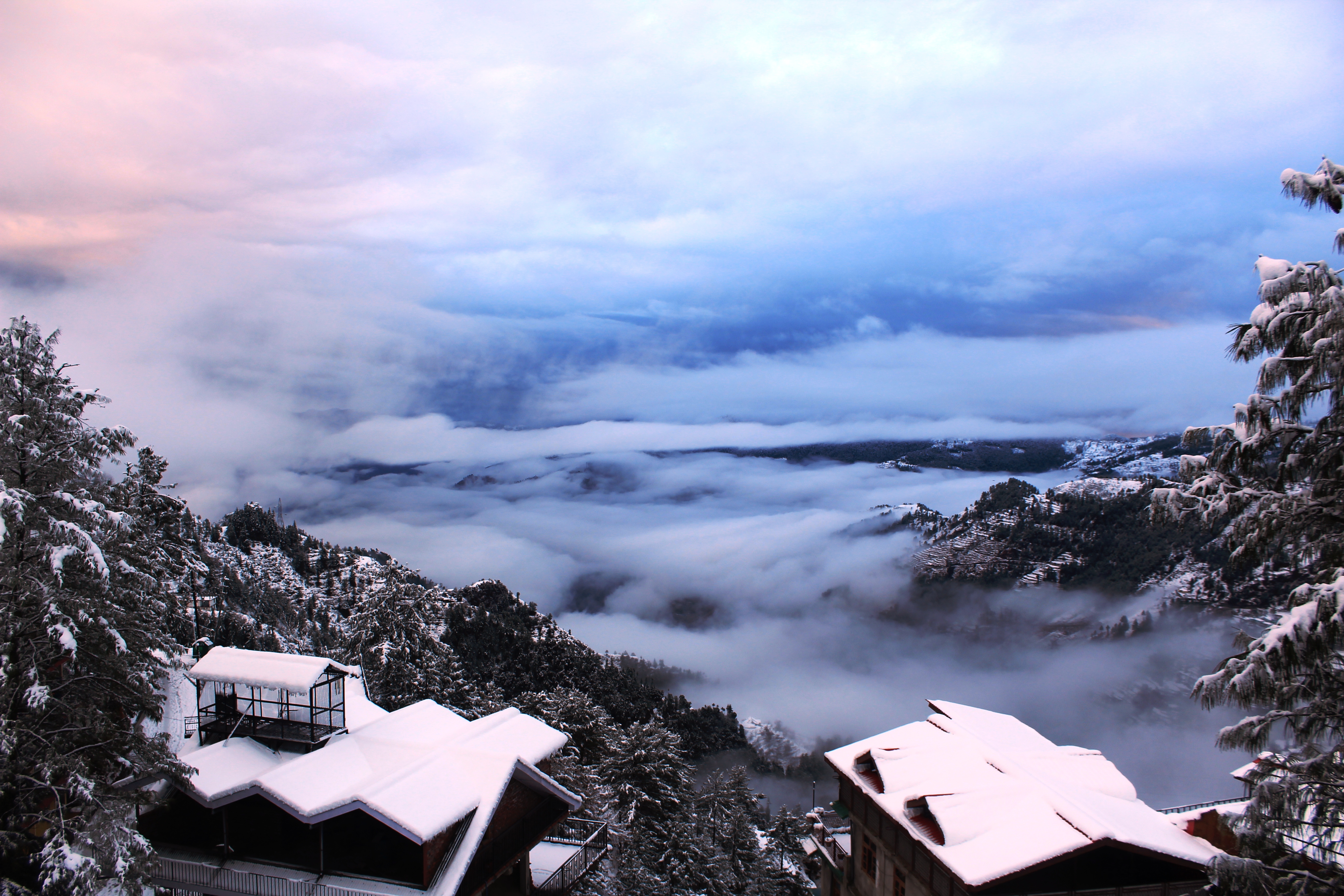
Theog is a town and a municipal committee as well as a tehsil in Shimla district in the Indian state of Himachal Pradesh. It is 28 km from state capital Shimla. First settlements were in 1902.
Demographics
India census, Theog had a population of 84684. Males constitute 51% of the population and females 49%. Theog has an average literacy rate of 75%; male literacy is 80.7%, and female literacy is 69.4%. In Theog, 10.6% of the population is under 6 years of age. According to the census of 1931, the total population of Theog state was 6912; there were 6800 Hindus, 91 Muslims and 21 Sikhs in Theog State in 1931.
Geography
Theog is located at . It has an average elevation of 1965 metres (6446 feet). It is situated on National Highway NH22 (on the Hindustan-Tibet Road), is 32 km away from Shimla, and is a town of five 'Ghats' (or ridges): Rahi Ghat, Deori Ghat, Prem Ghat, Janoghat, and Bagaghat.
Numerous villages come under the jurisdiction of Theog. Diksha is the new sarpanch from Sarog Gali village
Villages
- Jaiee
Transport
Theog is well connected to Himachal and rest of India through National Highway 5 and National Highway 705. Theog is 45 km from Shimla airport and 32 km from Shimla railway station.
References
References
- "Language and dialect of Himachal Pradesh".
- (1935). "Punjab State Gazetteers: pt. A. Simla Hill States". Superintendent, Government Printing, 1935.
- "Census of India 2011: Data from the 2011 Census, including cities, villages and towns (Provisional)". Census Commission of India.
- (1935). "Punjab State Gazetteers: pt. A. Simla Hill States". Superintendent, Government Printing, 1935 - Punjab (India).
- [http://www.fallingrain.com/world/IN/11/Theog.html Falling Rain Genomics, Inc - Theog]
- "National Highways in Himachal Pradesh".
This article was imported from Wikipedia and is available under the Creative Commons Attribution-ShareAlike 4.0 License. Content has been adapted to SurfDoc format. Original contributors can be found on the article history page.
Ask Mako anything about Theog — get instant answers, deeper analysis, and related topics.
Research with MakoFree with your Surf account
Create a free account to save articles, ask Mako questions, and organize your research.
Sign up freeThis content may have been generated or modified by AI. CloudSurf Software LLC is not responsible for the accuracy, completeness, or reliability of AI-generated content. Always verify important information from primary sources.
Report