From Surf Wiki (app.surf) — the open knowledge base
The Hammocks, Florida
| Field | Value |
|---|---|
| official_name | The Hammocks |
| settlement_type | Census-designated place |
| image_map | Miami-Dade_County_Florida_Incorporated_and_Unincorporated_areas_The_Hammocks_Highlighted.svg |
| mapsize | 250x200px |
| map_caption | Location in Miami-Dade County and the state of Florida |
| image_map1 | The_Hammocks.gif |
| mapsize1 | 250x200px |
| map_caption1 | U.S. Census Bureau map showing CDP boundaries |
| subdivision_type | Country |
| subdivision_name | United States |
| subdivision_type1 | State |
| subdivision_name1 | Florida |
| subdivision_type2 | County |
| subdivision_name2 | Miami-Dade |
| established_title | |
| unit_pref | Imperial |
| area_footnotes | |
| area_total_km2 | 20.98 |
| area_land_km2 | 20.43 |
| area_water_km2 | 0.55 |
| area_total_sq_mi | 8.10 |
| area_land_sq_mi | 7.89 |
| area_water_sq_mi | 0.21 |
| population_as_of | 2020 |
| population_total | 59480 |
| population_footnotes | |
| population_density_sq_mi | 7540.57 |
| timezone | EST |
| utc_offset | -5 |
| timezone_DST | EDT |
| utc_offset_DST | -4 |
| coordinates | |
| elevation_footnotes | |
| elevation_ft | 7 |
| postal_code_type | ZIP codes |
| postal_code | 33186, 33196 (Miami) |
| area_codes | 305, 786, 645 |
| blank_name | FIPS code |
| blank_info | 12-71569 |
| blank1_name | GNIS feature ID |
| blank1_info | 2402923 |
The Hammocks is a planned community and census-designated place in Miami-Dade County, Florida, United States. It is part of the Miami metropolitan area of South Florida. The population was 59,480 at the 2020 census, up from 51,003 in 2010.
Geography
The Hammocks is located about 6 mi west of Kendall and 18 mi southwest of downtown Miami.
The CDP and planned community encompass the area west of SW 137th Avenue, south of SW 88th Street, east of SW 177 Ave, and north of SW 120th St. It is bordered to the east by The Crossings and to the north by Kendall West and Kendale Lakes.
According to the United States Census Bureau, the CDP has a total area of 8.1 sqmi, of which 7.9 sqmi are land and 0.2 sqmi, or 2.64%, are water.
Demographics
2020 census
| Race / Ethnicity (NH = Non-Hispanic) | Pop 2010 | Pop 2020 | % 2010 | % 2020 |
|---|---|---|---|---|
| White (NH) | 7,119 | 5,846 | 13.96% | 9.83% |
| Black or African American (NH) | 2,430 | 2,036 | 4.76% | 3.42% |
| Native American or Alaska Native (NH) | 40 | 41 | 0.08% | 0.07% |
| Asian (NH) | 1,499 | 1,718 | 2.94% | 2.89% |
| Pacific Islander or Native Hawaiian (NH) | 7 | 8 | 0.01% | 0.01% |
| Some other race (NH) | 124 | 343 | 0.24% | 0.58% |
| Mixed race or Multiracial (NH) | 540 | 1,001 | 1.06% | 1.68% |
| Hispanic or Latino (any race) | 39,244 | 48,487 | 76.94% | 81.52% |
| Total | 51,003 | 59,480 | 100.00% | 100.00% |
As of the 2020 United States census, there were 59,480 people, 17,877 households, and 14,943 families residing in the CDP.
As of the 2010 United States census, there were 51,003 people, 15,967 households, and 12,620 families residing in the CDP.
2000 census
As of the census of 2000, there were 47,379 people, 15,203 households, and 12,055 families residing in the CDP. The population density was 2,327.4 /km2. There were 15,983 housing units at an average density of 785.1 /km2. The racial makeup of the CDP was 78.64% White (23% were Non-Hispanic White), 6.88% African American or Black, 0.21% Native American, 3.25% Asian, 0.07% Pacific Islander, 6.54% from other races, and 4.41% from two or more races. 65.33% of the population were Hispanic or Latino of any race.
As of 2000, there were 15,203 households, out of which 46.5% had children under the age of 18 living with them, 58.4% were married couples living together, 16.1% had a female householder with no husband present, and 20.7% were non-families. 15.1% of all households were made up of individuals, and 1.8% had someone living alone who was 65 years of age or older. The average household size was 3.10 and the average family size was 3.47.
In 2000, the CDP population was spread out, with 28.3% under the age of 18, 10.3% from 18 to 24, 36.2% from 25 to 44, 18.9% from 45 to 64, and 6.3% who were 65 years of age or older. The median age was 32 years. For every 100 females, there were 90.3 males. For every 100 females age 18 and over, there were 86.5 males.
In 2000, the median income for a household in the CDP was $50,909, and the median income for a family was $54,444. Males had a median income of $35,159 versus $30,178 for females. The per capita income for the CDP was $18,962. About 7.0% of families and 8.6% of the population were below the poverty line, including 8.6% of those under age 18 and 11.3% of those age 65 or over.
As of 2000, speakers of Spanish as a first language accounted for 71.34% of residents, while English made up 22.82%, French was at 1.21%, French Creole at 0.94%, Portuguese 0.83%, and Arabic was 0.54% of the population. Tagalog made up 0.49% of the population.
Economy
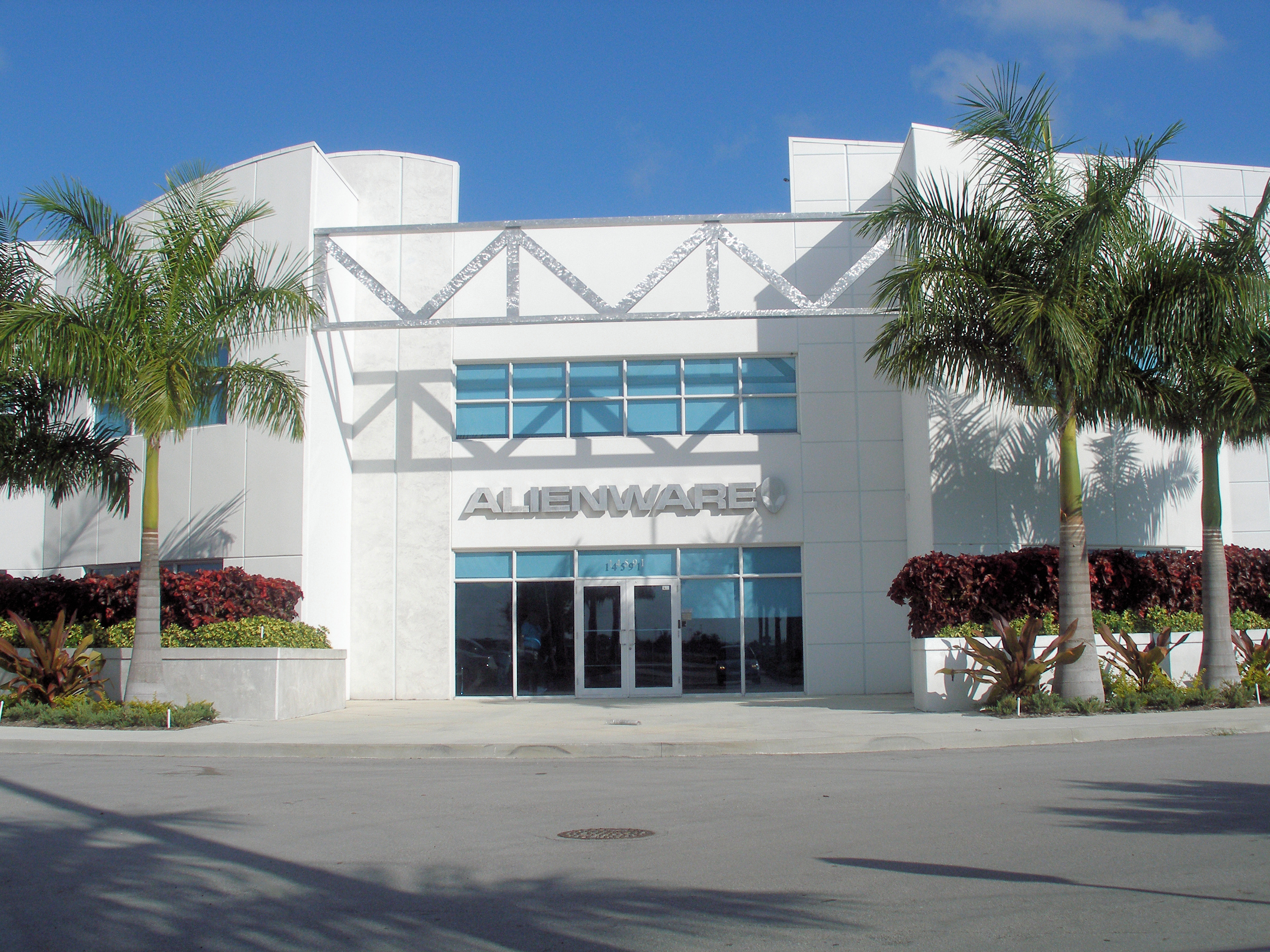
The headquarters for Alienware is located in The Hammocks.
Government and infrastructure
The Miami-Dade Police Department operates The Hammocks District Station in The Hammocks.
Education
Public education in The Hammocks is serviced by the Miami-Dade County Public Schools system.
Elementary schools
- Claude Pepper Elementary School
- Gilbert L. Porter Elementary School
- Oliver Hoover Elementary School
- Christina M. Eve Elementary School
Middle school
- Hammocks Middle School
High school
- Felix Varela High School
Private school
- Archbishop Coleman F. Carroll High School
- Our Lady of Lourdes Parish School - Established in 1997.
References
References
- "2022 U.S. Gazetteer Files: Florida". United States Census Bureau.
- "P1. Race – The Hammocks CDP, Florida: 2020 DEC Redistricting Data (PL 94-171)". U.S. Census Bureau.
- "U.S. Census website". [[United States Census Bureau]].
- {{GNIS. 2402923
- Census area returned as '''Hammocks''' in 1990.
- "P2 HISPANIC OR LATINO, AND NOT HISPANIC OR LATINO BY RACE - 2010: DEC Redistricting Data (PL 94-171) - The Hammocks CDP, Florida".
- "P2 HISPANIC OR LATINO, AND NOT HISPANIC OR LATINO BY RACE - 2020: DEC Redistricting Data (PL 94-171) - The Hammocks CDP, Florida".
- "S1101 HOUSEHOLDS AND FAMILIES - 2020: The Hammocks CDP, Florida".
- "S1101 HOUSEHOLDS AND FAMILIES - 2010: The Hammocks CDP, Florida".
- "Demographics of The Hammocks, FL". MuniNetGuide.com.
- "MLA Data Center Results of The Hammocks, FL". [[Modern Language Association]].
- (March 2020)
- "[http://www.miamidade.gov/mdpd/stations/station_Hammocks_8.asp Hammocks District Station]." [[Miami-Dade Police Department]]. Retrieved on March 12, 2010.
- "Home". Our Lady of Lourdes Parish School.
- "2010 CENSUS - CENSUS BLOCK MAP: The Hammocks CDP, FL". [[U.S. Census Bureau]].
This article was imported from Wikipedia and is available under the Creative Commons Attribution-ShareAlike 4.0 License. Content has been adapted to SurfDoc format. Original contributors can be found on the article history page.
Ask Mako anything about The Hammocks, Florida — get instant answers, deeper analysis, and related topics.
Research with MakoFree with your Surf account
Create a free account to save articles, ask Mako questions, and organize your research.
Sign up freeThis content may have been generated or modified by AI. CloudSurf Software LLC is not responsible for the accuracy, completeness, or reliability of AI-generated content. Always verify important information from primary sources.
Report