From Surf Wiki (app.surf) — the open knowledge base
Tennessee River
River in the southeastern United States

River in the southeastern United States
| Field | Value |
|---|---|
| name | Tennessee River |
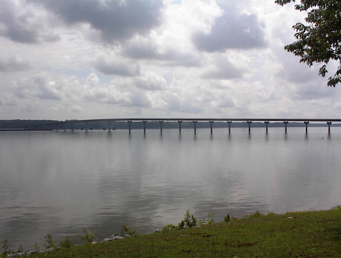
| image | Market Street Bridge 02.jpg |
| image_caption | The Tennessee River in downtown Chattanooga |
| map | Tennessee watershed.png |
| map_caption | Map of the Tennessee River watershed |
| mapframe | yes |
| mapframe-zoom | 6 |
| subdivision_type1 | Country |
| subdivision_name1 | United States |
| subdivision_type2 | State |
| subdivision_name2 | Tennessee, Alabama, Mississippi, Kentucky |
| subdivision_type3 | Cities |
| subdivision_name3 | Lenoir City, TN; Chattanooga, TN; Scottsboro, AL; Decatur, AL; Florence, AL; Savannah, TN |
| length | 652 mi |
| discharge1_avg | 70575 cuft/s |
| discharge1_max | 500000 cuft/s |
| source1 | Confluence of French Broad and Holston rivers at Knoxville |
| source1_coordinates | |
| source1_elevation | 813 ftU.S. Geological Survey. Shooks Gap quadrangle, Tennessee. 1:24,000. |
| mouth | Ohio River at Livingston / McCracken counties, near Paducah, KY |
| mouth_coordinates | |
| mouth_elevation | 302 ftU.S. Geological Survey. Paducah East quadrangle, Kentucky. 1:24,000. |
| basin_size | 40876 sqmi |
| mapframe-zoom = 6 7.5 Minute Series. Washington D.C.: USGS, 1987. 7.5 Minute Series. Washington D.C.: USGS, 1982.

The Tennessee River is a 652 mi long river located in the southeastern United States. Flowing through the Tennessee Valley in the states of Tennessee, Alabama, Mississippi, and Kentucky, it begins at the confluence of French Broad and Holston rivers at Knoxville, and drains into the Ohio River near Paducah, Kentucky. It is the largest tributary of the Ohio, and drains a basin of 40876 sqmi.
Its tributary, the Little Tennessee River, flows into it from Western North Carolina and northeastern Georgia.
Etymology
The river appears on French maps from the late 17th century with the names "Caquinampo" or "Kasqui." Maps from the early 18th century call it "Cussate," "Hogohegee," "Callamaco," and "Acanseapi." A 1755 British map showed the Tennessee River as the "River of the Cherakees." By the late 18th century, it had come to be called "Tennessee," a name derived from the Cherokee village named Tanasi.
Course
The Tennessee River is formed at the confluence of the Holston and French Broad rivers in present-day Knoxville, Tennessee. From Knoxville, it flows southwest through East Tennessee into Chattanooga, misses Georgia by about 250 ft, then crosses into Alabama. It travels through the Huntsville and Decatur area before reaching the Muscle Shoals area, and eventually forms a small part of the state's border with Mississippi, before returning to Tennessee. The Tennessee River's route northerly through Tennessee defines the boundary between two of Tennessee's Grand Divisions: Middle and West Tennessee.
The Tennessee–Tombigbee Waterway, a U.S. Army Corps of Engineers project providing a route to Alabama's Tombigbee River and a link to that state's Gulf of Mexico port of Mobile, enters the Tennessee River near the Tennessee-Alabama-Mississippi boundary. This waterway reduces the navigation distance from Tennessee, north Alabama, and northern Mississippi to the Gulf by hundreds of miles. The final part of the Tennessee's run is north through western Kentucky, where it separates the Jackson Purchase from the rest of the state. It flows into the Ohio River at Paducah, Kentucky.
History
The river valley was once home to several Native American tribes. At Painted Bluff, in northeast Alabama, painted glyphs dating to ca. 1400 A.D. have been discovered among cliffs overlooking the river.
The first major battles of the American Civil War occurred along the river in 1862. The commander in the western theater, General Henry Halleck, considered the Tennessee River to be more significant than the Mississippi.
Starting point
Water rights and border dispute between Georgia and Tennessee
Main article: Tennessee–Georgia water dispute
At various points since the early 19th century, Georgia has disputed its northern border with Tennessee. In 1796, when Tennessee was admitted to the Union, the border was originally defined by United States Congress as located on the 35th parallel, thereby ensuring that at least a portion of the river would be located within Georgia. As a result of an erroneously conducted survey in 1818 (ratified by the Tennessee legislature, but not Georgia), however, the actual border line was set on the ground approximately one mile south, thus placing the disputed portion of the river entirely in Tennessee.
Georgia made unsuccessful attempts in the 1890s, 1905, 1915, 1922, 1941, 1947 and 1971 to resolve what it felt was an erroneous survey line.
In 2008, as a result of a serious drought and resulting water shortage, the Georgia General Assembly passed a resolution directing the governor to pursue its claim in the United States Supreme Court.
According to a story aired on WTVC-TV in Chattanooga on March 14, 2008, a local attorney familiar with case law on border disputes, said the U.S. Supreme Court generally will maintain the original borders between states and avoid stepping into border disputes, preferring the parties work out their differences.
The Chattanooga Times Free Press reported on March 25, 2013, that Georgia senators approved House Resolution 4 stating that if Tennessee declines to settle with them, the dispute will be given to the state attorney general, to take Tennessee before the Supreme Court to settle the issue once and for all. The Atlantic Wire, in commenting on Georgia's actions, stated:
Modern use
The Tennessee River is an important part of the Great Loop, the recreational circumnavigation of Eastern North America by water. The main channel is accessible to recreational watercraft at over 200 public access points along the river's course.
The Tennessee River has historically been a major highway for riverboats through the South, and today they are frequently used along the river. Major ports include Guntersville, Chattanooga, Decatur, Yellow Creek, and Muscle Shoals. This river has contributed greatly to the economic and industrial development of the Tennessee Valley as a whole. The economies of cities such as Decatur and Chattanooga would not be as dynamic as they are today, were it not for the Tennessee River. Many companies still rely on the river as a means of transportation for their materials. In Chattanooga, for example, steel is exported on boats, as it is much more efficient than moving it on land.
In addition, locks along the Tennessee River waterway provide passage between reservoirs for more than 13,000 recreational craft each year. The Chickamauga Dam, located just upstream from Chattanooga, was projected in 2014 to have a new lock built, but it has been delayed due to a lack of funding.
In 2022, the Tennessee Volunteers football team defeated Alabama 52–49, their first win in the series since 2006. Afterward, fans stormed the field and tore down the goalposts, throwing them in the Tennessee River after parading them through the city.
Dams
The river has been dammed nine times since the 1930s by Tennessee Valley Authority (TVA) projects. The construction of TVA's Kentucky Dam on the Tennessee River and the Corps of Engineers' Barkley Dam on the Cumberland River led to the development of associated lakes, and the creation of an area called the Land Between the Lakes. A navigation canal located at Grand Rivers, Kentucky, links Kentucky Lake and Lake Barkley. The canal allows for a shorter trip for river traffic going from the Tennessee to most of the Ohio River, and for traffic going down the Cumberland River toward Tennessee.
Ecology
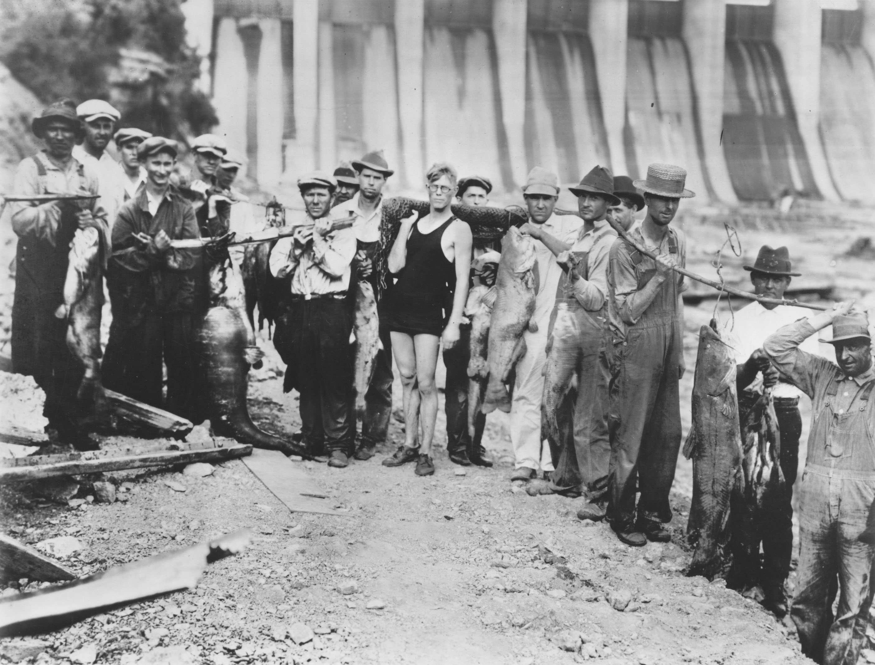
The Tennessee River and its tributaries host some 102 species of mussel. It also is home to the rare freshwater snail Athearnia anthonyi. Native Americans ate freshwater mussels. Potters of the Mississippian culture used crushed mussel shell mixed into clay to make their pottery stronger.
A "pearl" button industry was established in the Tennessee Valley beginning in 1887, producing buttons from the abundant mussel shells. Button production ceased after World War II when plastics replaced mother-of-pearl as a button material. Mussel populations have declined drastically due to dam construction, water pollution, and invasive species.
Tennessee River tributaries

Tributaries and sub-tributaries start with headwaters and are listed in descending order toward their confluence with the Tennessee River:
- Horse Creek (Tennessee)
- Big Sandy River (Tennessee)
- White Oak Creek
- Duck River (Tennessee)
- Buffalo River (Tennessee)
- Green River
- Little Buffalo River
- Piney River (Tennessee)
- Little Duck River
- Buffalo River (Tennessee)
- Beech River (Tennessee)
- Bear Creek (Alabama, Mississippi)
- Buzzard Roost Creek (Alabama)
- Colbert Creek (Alabama)
- Cotaco Creek (Alabama)
- Malone Creek (Alabama)
- Mulberry Creek (Alabama)
- Cane Creek (Alabama)
- Dry Creek (Alabama)
- Little Bear Creek (Alabama)
- Spring Creek (Alabama)
- Cypress Creek (Alabama)
- Shoal Creek (Alabama)
- First Creek (Alabama)
- Elk River (Tennessee, Alabama)
- Flint Creek (Alabama)
- Limestone Creek (Alabama, Tennessee)
- Beaverdam Creek (Alabama)
- Indian Creek (Alabama)
- Barren Fork Creek (Alabama)
- Bradford Creek ,Briefly merged with Barren Fork Creek (Alabama)
- Flint River (Alabama, Tennessee)
- Paint Rock River (Alabama, Tennessee)
- Sequatchie River (Tennessee)
- Little Sequatchie River
- Mountain Creek (Tennessee)
- Lookout Creek (Tennessee, Georgia)
- Chattanooga Creek (Tennessee, Georgia)
- Citico Creek (Tennessee)
- South Chickamauga Creek (Tennessee, Georgia)
- North Chickamauga Creek (Tennessee)
- Hiwassee River (Tennessee, North Carolina)
- Conasauga Creek (Tennessee)
- Ocoee River (Tennessee, Georgia)
- Nottely River (North Carolina, Georgia)
- Piney River (Tennessee)
- Clinch River (Tennessee, Virginia)
- Emory River (Tennessee)
- Little Emory River
- Obed River (Tennessee)
- Little Obed River
- Poplar Creek
- East Fork Poplar Creek
- Beaver Creek
- Powell River (Tennessee, Virginia)
- Emory River (Tennessee)
- Little Tennessee River (Tennessee, North Carolina)
- Tellico River (Tennessee)
- Tuckasegee River (North Carolina)
- Nantahala River (North Carolina)
- Cullasaja River (North Carolina)
- Little River (Tennessee)
- French Broad River
- Little Pigeon River (Tennessee)
- Nolichucky River (Tennessee, North Carolina)
- Pigeon River (Tennessee, North Carolina)
- Swannanoa River (North Carolina)
- Holston River (Tennessee)
- North Fork Holston River (Tennessee, Virginia)
- South Fork Holston River (Tennessee, Virginia)
- Watauga River (Tennessee, North Carolina)
- Doe River (Tennessee)
- Watauga River (Tennessee, North Carolina)
- Middle Fork Holston River (Virginia)
Notes
References
- {{Cite GNIS. 517033. Tennessee River
- "Arthur Benke & Colbert Cushing, "Rivers of North America". Elsevier Academic Press, 2005 {{ISBN. 0-12-088253-1
- "TVA - Navigation on the Tennessee River".
- link. (May 3, 2012, ''[[Tennessee Encyclopedia of History and Culture]]'', December 25, 2009; updated January 1, 2010; accessed July 14, 2011)
- Bright, William. (2004). "Native American placenames of the United States". University of Oklahoma Press.
- "Tennessee Valley Authority - Preserving Places in Peril".
- ORA (Official records, armies): War of the Rebellion: a compilation of the official records of the Union and Confederate Armies. I, v. 10, p. 24.
- (February 8, 2008). "Georgians thirst to move Tennessee state line".
- (September 2010). "Desperate for water, Georgia revisits border dispute".
- (May 12, 2008). "Crossing the Line". Tennessee Bar Association.
- Jones, Andrea. (February 20, 2008). "Ga.'s quest to move Tenn. border advances". The Atlanta Journal-Constitution.
- Dewan, Shaila. (February 22, 2008). "Georgia Claims a Sliver of the Tennessee River". The New York Times.
- Group, Sinclair Broadcast. "CHATTANOOGA News, Weather, Sports, Breaking News – WTVC".
- (March 25, 2013). "Tennessee, Georgia at war over state line; battle could go to Supreme Court".
- (March 25, 2013). "The Great Georgia-Tennessee Border War of 2013 Is Upon Us".
- (February 2018). "U.S. Army Corps of Engineers - Tennessee River and Tributaries Small Boat Harbors, Ramps, and Landings".
- "Navigation on the Tennessee River". TVA.
- "Chickamauga Lock Addition Project".
- (2022-10-16). "Tennessee football fans tear down goalpost, throw it into river {{!}} CNN".
- [http://www.dgif.virginia.gov/wildlife/freshwater-mussels.asp Freshwater Mussels] {{Webarchive. link. (February 1, 2016 , Virginia Department of Game and Inland Fisheries website, accessed July 14, 2011)
- (2023-06-27). "Anthony’s Riversnail (Athearnia anthonyi) 5-Year Status Review 2023 {{!}} U.S. Fish & Wildlife Service".
- [http://mcclungmuseum.utk.edu/permanent/mussels/index.shtml Tennessee Freshwater Mussels] {{Webarchive. link. (March 23, 2013 , Frank H. McClung Museum website, accessed July 14, 2011)
- Alabama Department of Transportation. (1997). "County Highway Maps". [[University of Alabama]].
- Army Corps of Engineers. (1997). "Tennessee River Navigation Charts". Army Corps of Engineers.
This article was imported from Wikipedia and is available under the Creative Commons Attribution-ShareAlike 4.0 License. Content has been adapted to SurfDoc format. Original contributors can be found on the article history page.
Ask Mako anything about Tennessee River — get instant answers, deeper analysis, and related topics.
Research with MakoFree with your Surf account
Create a free account to save articles, ask Mako questions, and organize your research.
Sign up freeThis content may have been generated or modified by AI. CloudSurf Software LLC is not responsible for the accuracy, completeness, or reliability of AI-generated content. Always verify important information from primary sources.
Report