From Surf Wiki (app.surf) — the open knowledge base
Tariku River
River in Indonesia
River in Indonesia
| Field | Value |
|---|---|
| name | Tariku River |
| name_other | Sungai Tariku, Rauffer, Nogolo, Rouffaer-rivier, Toearal, Rauffaer Rivier, Tarikoe Rivier, Toearai River, Tariku, Van der Willigen-rivier, Willigen-rivier |
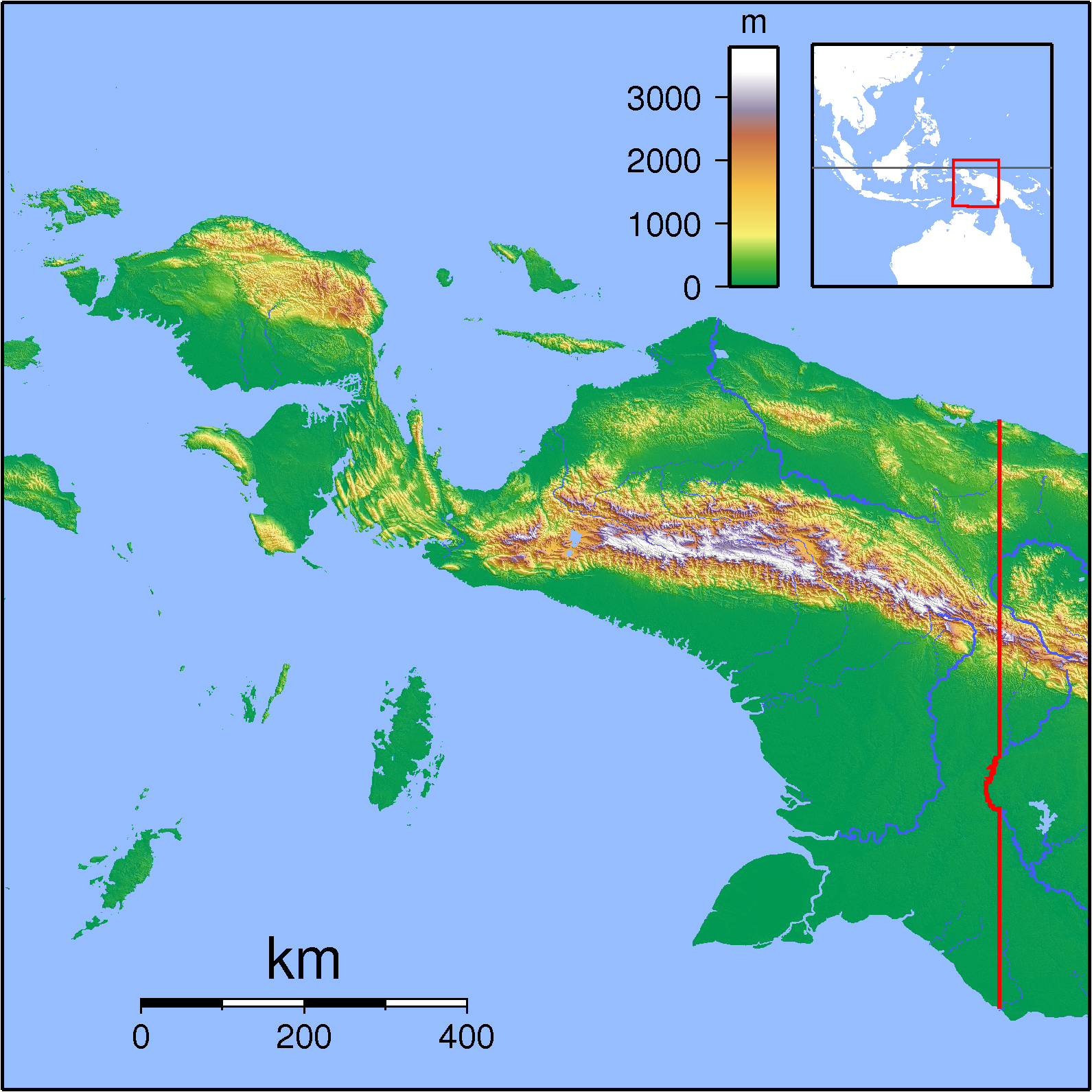
| pushpin_map | Indonesia Papua |
| pushpin_map_size | Location of river mouth |
| source1_location | Western Papua |
| mouth_location | Mamberamo River |
| subdivision_type1 | Country |
| subdivision_name1 | Indonesia |
| length | 488 km |
The Tariku or Rouffaer River is a river in the northern part of the Indonesian province of Papua. It is one of the major tributary of Mamberamo River with a total length of 488 km.
Name
During the Dutch colonial era it was known as the Rouffaer River.
Hydrology
The Tariku River flows generally eastward in the basin north of the island's central mountainous cordillera. Eventually it meets the Taritatu River, and at this confluence the two rivers become the Mamberamo River, one of the largest rivers on the island of New Guinea (Papua).
Geography
The river flows in the northern area of Papua with predominantly tropical rainforest climate (designated as Af in the Köppen-Geiger climate classification). The annual average temperature in the area is 22 °C. The warmest month is October, when the average temperature is around 23 °C, and the coldest is March, at 21 °C. The average annual rainfall is 4269 mm. The wettest month is April, with an average of 487 mm rainfall, and the driest is July, with 278 mm rainfall.
References
References
- [http://www.geonames.org/1624692/sungai%20tariku.html Sungai Tariku] - Geonames.org.
- (). "Updated world map of the Köppen-Geiger climate classification". Hydrology and Earth System Sciences.
- (30 January 2016). "NASA Earth Observations Data Set Index". NASA.
- (30 January 2016). "NASA Earth Observations: Rainfall (1 month - TRMM)". NASA/Tropical Rainfall Monitoring Mission.
This article was imported from Wikipedia and is available under the Creative Commons Attribution-ShareAlike 4.0 License. Content has been adapted to SurfDoc format. Original contributors can be found on the article history page.
Ask Mako anything about Tariku River — get instant answers, deeper analysis, and related topics.
Research with MakoFree with your Surf account
Create a free account to save articles, ask Mako questions, and organize your research.
Sign up freeThis content may have been generated or modified by AI. CloudSurf Software LLC is not responsible for the accuracy, completeness, or reliability of AI-generated content. Always verify important information from primary sources.
Report