From Surf Wiki (app.surf) — the open knowledge base
Tamiami, Florida
| Field | Value |
|---|---|
| official_name | Tamiami, Florida |
| settlement_type | Census-designated place |
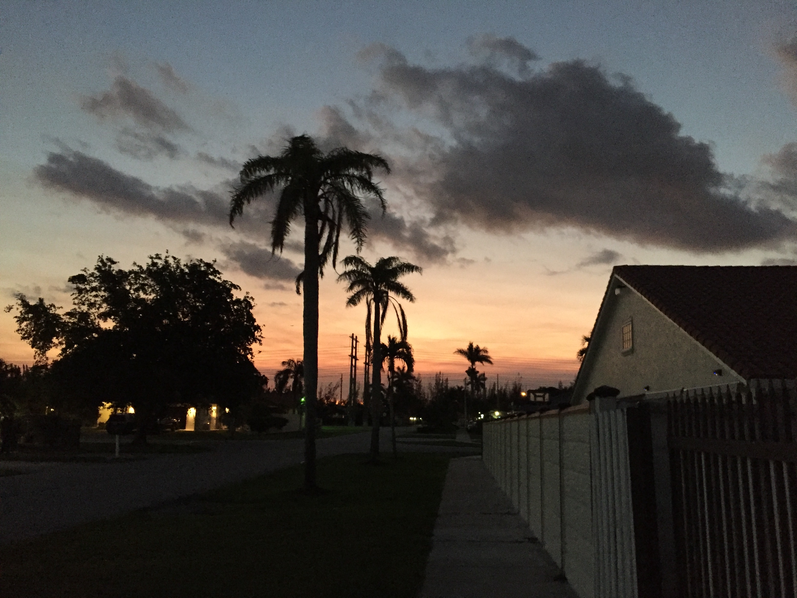
| image_skyline | Lvedadondata.jpg |
| image_caption | Tamiami suburb |
| image_map | Miami-Dade_County_Florida_Incorporated_and_Unincorporated_areas_Tamiami_Highlighted.svg |
| mapsize | 250x200px |
| map_caption | Location in Miami-Dade County and the state of Florida |
| image_map1 | Tamiami.gif |
| mapsize1 | 250x200px |
| map_caption1 | U.S. Census Bureau map showing CDP boundaries |
| subdivision_type | Country |
| subdivision_name | United States |
| subdivision_type1 | State |
| subdivision_name1 | Florida |
| subdivision_type2 | County |
| subdivision_name2 | Miami-Dade |
| established_title | |
| unit_pref | Imperial |
| area_footnotes | |
| area_total_km2 | 19.24 |
| area_land_km2 | 18.25 |
| area_water_km2 | 0.98 |
| area_total_sq_mi | 7.43 |
| area_land_sq_mi | 7.05 |
| area_water_sq_mi | 0.38 |
| population_as_of | 2020 |
| population_total | 54212 |
| population_footnotes | |
| population_density_km2 | 2970.18 |
| population_density_sq_mi | 7692.92 |
| timezone | Eastern (EST) |
| utc_offset | -5 |
| timezone_DST | EDT |
| utc_offset_DST | -4 |
| coordinates | |
| elevation_footnotes | |
| elevation_ft | 7 |
| postal_code_type | ZIP Codes |
| postal_code | 33175, 33182, 33184 (Miami) |
| area_codes | 305, 786, 645 |
| blank_name | FIPS code |
| blank_info | 12-70700 |
| blank1_name | GNIS feature ID |
| blank1_info | 2402913 |
Tamiami is a census-designated place (CDP) in Miami-Dade County, Florida, United States. It is part of the Miami metropolitan area of South Florida. The population was 54,212 at the 2020 census.
Name
The name Tamiami is a portmanteau of the phrase "Tampa to Miami". The Tamiami Trail, a roadway that goes through the Everglades, connecting the two cities, was the reason for this combination. The CDP is pronounced the same way its namesake is (the Tamiami Trail), which is "tammy-ammy" (), not "tam-my-ammy" ().
Geography
Tamiami is located 14 mi west of downtown Miami. It is bordered to the east by Sweetwater and Westchester, to the southeast by Westwood Lakes, and to the south by Kendale Lakes. U.S. Route 41, the Tamiami Trail, passes through the center of the community, leading east into Miami and west through the Everglades 95 mi to Naples. Tampa is an additional 160 mi north beyond Naples. According to the United States Census Bureau, the Tamiami CDP has a total area of 7.4 sqmi, of which 0.4 sqmi, or 5.16%, are water.
Demographics
2020 census
| Race / Ethnicity (NH = Non-Hispanic) | Pop 2010 | Pop 2020 | % 2010 | % 2020 |
|---|---|---|---|---|
| White (NH) | 3,418 | 3,210 | 6.18% | 5.92% |
| Black or African American (NH) | 162 | 191 | 0.29% | 0.35% |
| Native American or Alaska Native (NH) | 16 | 8 | 0.03% | 0.01% |
| Asian (NH) | 328 | 325 | 0.59% | 0.60% |
| Pacific Islander or Native Hawaiian (NH) | 0 | 6 | 0.00% | 0.01% |
| Some other race (NH) | 35 | 146 | 0.06% | 0.27% |
| Mixed race or Multiracial (NH) | 95 | 247 | 0.17% | 0.46% |
| Hispanic or Latino (any race) | 51,217 | 50,079 | 92.67% | 92.38% |
| Total | 55,271 | 54,212 | 100.00% | 100.00% |
As of the 2020 United States census, there were 54,212 people, 17,016 households, and 13,558 families residing in the CDP.
As of the 2010 United States census, there were 55,271 people, 16,288 households, and 14,100 families residing in the CDP.
2000 census
As of the census of 2000, there were 54,788 people, 16,285 households, and 14,233 families residing in the CDP. The population density was 7,461.3 people per square mile (2,882.0/km2). There were 16,707 housing units at an average density of 2,275.3/sq mi (878.8/km2). The racial makeup of the CDP was 90.57% White (11.8% were Non-Hispanic White), 0.89% African American, 0.10% Native American, 0.59% Asian, 0.02% Pacific Islander, 4.85% from other races, and 2.99% from two or more races. Hispanic or Latino of any race were 86.98% of the population.
As of 2000, there were 16,285 households out of which 42.1% had children under the age of 18 living with them, 66.0% were married couples living together, 16.2% had a female householder with no husband present, and 12.6% were non-families. 9.4% of all households were made up of individuals and 3.5% had someone living alone who was 65 years of age or older. The average household size was 3.33 and the average family size was 3.50.
In 2000, in the CDP the population was spread out with 24.4% under the age of 18, 8.7% from 18 to 24, 30.0% from 25 to 44, 24.1% from 45 to 64, and 12.9% who were 65 years of age or older. The median age was 37 years. For every 100 females there were 90.4 males. For every 100 females age 18 and over, there were 85.4 males.
As of 2000, the median income for a household in the CDP was $47,503, and the median income for a family was $49,763. Males had a median income of $30,716 versus $26,426 for females. The per capita income for the CDP was $17,601. About 7.6% of families and 9.4% of the population were below the poverty line, including 12.0% of those under age 18 and 9.7% of those age 65 or over.
As of 2000, speakers of Spanish as a first language accounted for 92.39% of residents, while English was the mother tongue of 6.99% of the population.
Education
Miami-Dade County Public Schools operates public schools.
Elementary schools:
- Marjory Stoneman Douglas Elementary School
- Greenglade Elementary School
- Joe Hall Elementary School
- Zora Neale Hurston Elementary School
- Wesley Matthews Elementary School
- Village Green Elementary School
Middle schools:
- Paul W. Bell Middle School
- W. R. Thomas Middle School
Private schools:
The Roman Catholic Archdiocese of Miami operates Catholic schools.
- St. Kevin School is in Tamiami. It opened in August 1980.
- Belen Jesuit Preparatory School is also in Tamiami.
References
References
- "2022 U.S. Gazetteer Files: Florida". United States Census Bureau.
- "P1. Race – Tamiami CDP, Florida: 2020 DEC Redistricting Data (PL 94-171)". U.S. Census Bureau.
- "U.S. Census website". [[United States Census Bureau]].
- {{GNIS. 2402913
- "Florida Highways – The Tamiami Trail". Marco Island Living.
- Cirbusova, Mimi. (May 10, 2020). "From Tampa to Miami: The Tamiami Trail".
- "Tamiami Trail: From Tampa to Miami".
- "P2 HISPANIC OR LATINO, AND NOT HISPANIC OR LATINO BY RACE - 2010: DEC Redistricting Data (PL 94-171) - Tamiami CDP, Florida".
- "P2 HISPANIC OR LATINO, AND NOT HISPANIC OR LATINO BY RACE - 2020: DEC Redistricting Data (PL 94-171) - Tamiami CDP, Florida".
- "S1101 HOUSEHOLDS AND FAMILIES - 2020: Tamiami CDP, Florida".
- "S1101 HOUSEHOLDS AND FAMILIES - 2010: Tamiami CDP, Florida".
- "Demographics of Tamiami, FL". MuniNetGuide.com.
- "MLA Data Center Results of Tamiami, FL". [[Modern Language Association]].
- "2010 CENSUS - CENSUS BLOCK MAP: Tamiami CDP, FL". [[U.S. Census Bureau]].
- "Marjory Stoneman Douglas Elementary School". [[Miami-Dade County Public Schools]].
- "Contact Us". Greenglade Elementary School.
- "Joe Hall Elementary School". [[Miami-Dade County Public Schools]].
- "Contact". Zora Neale Hurston Elementary School.
- "Contact Us". Wesley Matthews Elementary School.
- "Home". Village Green Elementary School.
- "Contact". Paul W. Bell Middle School.
- "Contact". W. R. Thomas Middle School.
- "Contact". St. Kevin Catholic School.
- "About". St. Kevin Catholic School.
This article was imported from Wikipedia and is available under the Creative Commons Attribution-ShareAlike 4.0 License. Content has been adapted to SurfDoc format. Original contributors can be found on the article history page.
Ask Mako anything about Tamiami, Florida — get instant answers, deeper analysis, and related topics.
Research with MakoFree with your Surf account
Create a free account to save articles, ask Mako questions, and organize your research.
Sign up freeThis content may have been generated or modified by AI. CloudSurf Software LLC is not responsible for the accuracy, completeness, or reliability of AI-generated content. Always verify important information from primary sources.
Report