From Surf Wiki (app.surf) — the open knowledge base
St. Matthews, Kentucky
.jpg)
| Field | Value |
|---|---|
| official_name | St. Matthews, Kentucky |
| settlement_type | City |
| image_skyline | Wefaqfa.jpg |
| imagesize | 250px |
| image_caption | Downtown St. Matthews |
| pushpin_map | Kentucky#USA |
| pushpin_label | St. Matthews |
| pushpin_label_position | |
| pushpin_map_caption | Location within the state of Kentucky |
| image_map | File:Jefferson County Kentucky Incorporated and Unincorporated areas St. Matthews Highlighted 2167944.svg |
| map_caption | Location of St. Matthews in Jefferson County, Kentucky |
| subdivision_type | Country |
| subdivision_name | United States |
| subdivision_type1 | State |
| subdivision_name1 | Kentucky |
| subdivision_type2 | County |
| subdivision_name2 | Jefferson |
| established_title | Incorporated |
| established_date | 1950 |
| unit_pref | Imperial |
| area_footnotes | |
| area_total_sq_mi | 4.40 |
| area_land_sq_mi | 4.38 |
| area_water_sq_mi | 0.02 |
| population_as_of | 2020 |
| population_total | 17534 |
| population_density_sq_mi | 4003.20 |
| timezone | Eastern (EST) |
| utc_offset | −5 |
| timezone_DST | EDT |
| utc_offset_DST | −4 |
| elevation_footnotes | |
| elevation_ft | 535 |
| coordinates | |
| postal_code_type | ZIP Code |
| postal_code | 40207 |
| blank_name | FIPS code |
| blank_info | 21-67944 |
| blank1_name | GNIS feature ID |
| blank1_info | 2405399 |
| website | |
| area_total_km2 | 11.39 |
| area_land_km2 | 11.35 |
| area_water_km2 | 0.04 |
| population_density_km2 | 1545.52 |
St. Matthews{{refn|St. Matthews is the city's formal name, The population was 17,472 at the 2010 census, up from 15,852 at the 2000 census. It is the 23rd-largest city in the state. St. Matthews is one of the state's major shopping areas, home to the fifth-largest mall in Kentucky (Mall St. Matthews) along with many smaller shopping centers along Shelbyville Road.
History
Dating the arrival of American Indians to present-day Kentucky remains controversial, with estimates ranging from 40,000 to 10,000 years before the present. As with later European cultures, indigenous cultures were often divided near the falls of the Ohio River, which marked a transition zone in travel and settlement. During the late Woodland period ( century), this area was between the Ohioan Hopewell culture and the Illinois Crab Orchard culture that extended to the west. Later (), it was the boundary between the Mississippian and Fort Ancient cultures. During the 18th century, the area was claimed by various Indian tribes, including the Shawnee from the northwest and the Iroquois to the east; based in New York and Pennsylvania, the Iroquois used the Ohio Valley as a hunting ground by right of conquest.
The area eventually known as St. Matthews was first settled by European Americans in 1779 during the American Revolutionary War by Col. James John Floyd of Virginia. He had conducted an important survey of the Jefferson County area in 1774, and bought 2000 acre of land from Virginia and other colonial veterans who had been awarded the parcels for their service in the French and Indian War (known as the Seven Years' War in Europe). He arrived overland on November 8, 1779, bringing several family members and a black slave. They built cabins and a stockade, which came to be known as "Floyd's Station".
During the early 19th century, the area held several plantations and was known as the "garden of the state". As with most areas of the Inner Bluegrass Region, the area was settled by many migrants from Virginia, who brought slaves for labor. The major crops were labor-intensive tobacco and hemp; breeding livestock, primarily horses, was also important to the economy. There were some changes to mixed crops because the soil was exhausted from tobacco. In the years before the Civil War, Kentucky planters had a surplus of slaves and sold many at markets in Louisville to traders who took them to the Deep South in the domestic slave trade. Demand was high as the South was being developed for sugar and especially cotton. The invention of the cotton gin had made cultivation of short-staple cotton profitable.
The St. Matthews community developed around the intersection of what are now Breckenridge Lane, Shelbyville Road, and Westport Road. By 1840, it was known as "Gilman's Point", after local tavern owner Daniel Gilman. The name "St. Matthews" was adopted in 1850 after the completion of St. Matthew's Episcopal Church, the area's first. It became the official name of the community in 1851 when the newly opened U.S. post office adopted it. Later numerous other Protestant churches were founded, including Baptist. Holy Trinity, the oldest of the three Catholic churches in the city, was completed in 1882, following immigration to the area of Catholics from Switzerland and Germany. Trinity High School was established nearby in association with the church.
St. Matthews was connected to the Louisville, Cincinnati and Lexington Railroad (later part of the Louisville and Nashville) that connected Louisville to Anchorage and Middletown. The railroad did not greatly alter the economy of St. Matthews, however, which remained heavily agricultural well into the 20th century.
In the early 20th century, it produced so many potatoes that it was a major center of the country for this crop. From 1910 to 1946, it was home to the St. Matthews Produce Exchange, which was once the second-largest potato shipper in the country. The area began changing in the early 20th century as a result of urban transit and automobile traffic. Gradually the farms were subdivided and developed as residential areas. The original landowners' names including Brown, Rudy, Nanz, Monohan, Oeschner, and Stich were used for local streets. The town's first bank was founded in 1905. A modern shopping district began developing in the 1920s, to include the landmark Vogue Theater, opened in 1938.
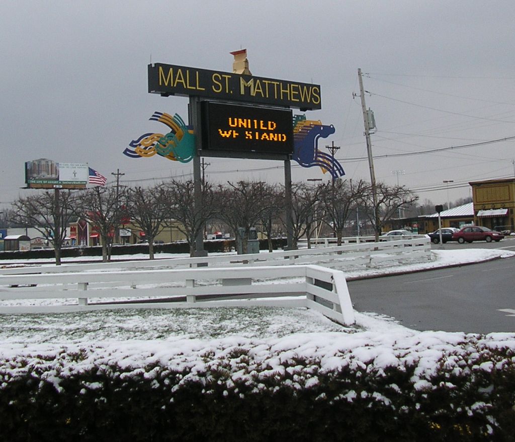
Growth of the area was accelerated by the Ohio River flood of 1937, which caused many families to leave low-lying ground in Louisville and move to St. Matthews. It incorporated as a city in 1950, partially to address infrastructure problems and to build a sewer system. The Mall St. Matthews, Louisville's first indoor shopping mall, opened around this time.
In 2001, St. Matthews annexed the cities of Broad Fields, Cherrywood Village, Fairmeade, Plymouth Village, and Springlee.
Geography
St. Matthews is located in north-central Jefferson County at (38.249931, −85.642613). It is 7 mi east of downtown Louisville. According to the United States Census Bureau, the city has a total area of 11.2 km2, of which 0.04 sqkm, or 0.36%, are water.
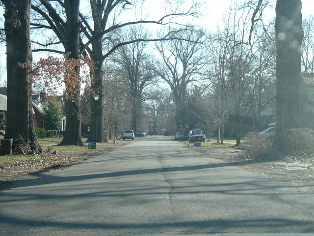
The present boundaries of St. Matthews are roughly Cannons Lane to the west, I-264 to the south and east, and several subdivisions off Brownsboro Road to the north. These include Bellewood, Brownsboro Village, Maryhill Estates, and Windy Hills. Farther east, St. Matthews is bordered by Woodlawn Park, Graymoor-Devondale, Lyndon, and Norwood. The separately incorporated cities of Richlawn, Beechwood Village and Norbourne Estates are enclaves within St. Matthews.
Demographics
As of the census of 2000, there were 15,852 people, 7,978 households, and 3,661 families residing in the city. The population density was 3,938 PD/sqmi. There were 8,537 housing units at an average density of {{convert|2,121 |/sqmi|/km2|sp=us|adj=off}}. The racial makeup of the city was 90.32% White, 4.95% African American, 0.15% Native American, 2.62% Asian, 0.01% Pacific Islander, 0.59% from other races, and 1.36% from two or more races. Hispanic or Latino of any race were 1.69% of the population.
There were 7,978 households, out of which 19.0% had children under the age of 18 living with them, 34.9% were married couples living together, 8.4% had a female householder with no husband present, and 54.1% were non-families. 45.2% of all households were made up of individuals, and 14.1% had someone living alone who was 65 years of age or older. The average household size was 1.94 and the average family size was 2.76.
In the city, the population was spread out, with 17.0% under the age of 18, 10.2% from 18 to 24, 35.6% from 25 to 44, 20.1% from 45 to 64, and 17.1% who were 65 years of age or older. The median age was 37 years. For every 100 females, there were 86.6 males. For every 100 females age 18 and over, there were 83.6 males.
Education
Trinity High School, a Catholic all-boys college-preparatory high school, along with Waggener High School and St. Matthews Elementary School, serve the area. The lending library is a branch of the Louisville Free Public Library.
Notable people
- Bob Heleringer, Louisville lawyer and member of the Kentucky House of Representatives, 1980–2002; St. Matthews resident
- Jonathan Hay, Louisville record producer who worked out of his studio in St. Matthews for over a decade. Some of his projects that were recorded in St. Matthews landed on Billboard charts. He was a victim of a home invasion at Mallard Crossing in the local neighborhood but survived the attack.
References
References
- Commonwealth of Kentucky. Office of the Secretary of State. Land Office. "St. Matthews, Kentucky". Accessed August 26, 2013.
- "2020 U.S. Gazetteer Files". United States Census Bureau.
- {{GNIS. 2405399
- "Summary and Reference Guide to House Bill 331 City Classification Reform". Kentucky League of Cities.
- "Geographic Identifiers: 2010 Census Summary File 1 (G001): St. Matthews city, Kentucky". U.S. Census Bureau.
- Yater, George H.. (1987). "Two Hundred Years at the Falls of the Ohio: A History of Louisville and Jefferson County". Filson Club, Incorporated.
- Kleber, John E. ed., ''The Kentucky Encyclopedia'', Kentucky Bicentennial Commission, 1992, p.792
- [http://orig.courier-journal.com/reweb/community/placetime/eastend-stmatthews.html Gayle Cutler, "St. Matthews: Development of Community Near Beargrass Creek Was Rooted in Potato Farms, a Protestant Presence"]{{Dead link. (September 2025)
- Elson, Martha. (May 31, 2001). "Strathmoor Village considers expanding". [[Courier-Journal]].
- (February 12, 2011). "US Gazetteer files: 2010, 2000, and 1990". [[United States Census Bureau]].
- Bureau, US Census. "City and Town Population Totals: 2020-2024".
- "Census of Population and Housing". Census.gov.
- "U.S. Census website". [[United States Census Bureau]].
- "Kentucky Public Library Directory". Kentucky Department for Libraries and Archives.
- Brown, Josh. (January 28, 2020). "Jonathan Hay: Sounding Off".
- Grady, Danielle. (October 29, 2021). "From St. Matthews To The Billboard Charts, Louisville's Jonathan Hay Reimagines Nirvana As House And Techno".
- (May 3, 2017). "Jonathan Hay, record producer, and musician daughter Iliana Eve held at gunpoint in home invasion".
This article was imported from Wikipedia and is available under the Creative Commons Attribution-ShareAlike 4.0 License. Content has been adapted to SurfDoc format. Original contributors can be found on the article history page.
Ask Mako anything about St. Matthews, Kentucky — get instant answers, deeper analysis, and related topics.
Research with MakoFree with your Surf account
Create a free account to save articles, ask Mako questions, and organize your research.
Sign up freeThis content may have been generated or modified by AI. CloudSurf Software LLC is not responsible for the accuracy, completeness, or reliability of AI-generated content. Always verify important information from primary sources.
Report