From Surf Wiki (app.surf) — the open knowledge base
St. Marks National Wildlife Refuge
United States National Wildlife Refuge in Florida
United States National Wildlife Refuge in Florida
| Field | Value |
|---|---|
| name | St. Marks National Wildlife Refuge |
| iucn_category | IV |
| map | USA |
| relief | 1 |
| map_caption | Map of the United States |
| map_width | 300 |
| photo | StMarksNWR5July03.jpg |
| photo_caption | St. Marks National Wildlife Refuge shoreline near Lighthouse |
| location | Wakulla County, Jefferson County, Taylor County, Florida, United States |
| nearest_city | St. Marks, Florida |
| coordinates | |
| area | 83000 acre |
| established | 1931 |
| governing_body | U.S. Fish and Wildlife Service |
St. Marks National Wildlife Refuge is a wintering ground for migratory birds in Florida. Established in 1931, it encompasses more than 83000 acre spread between Wakulla, Jefferson, and Taylor Counties in the state of Florida.

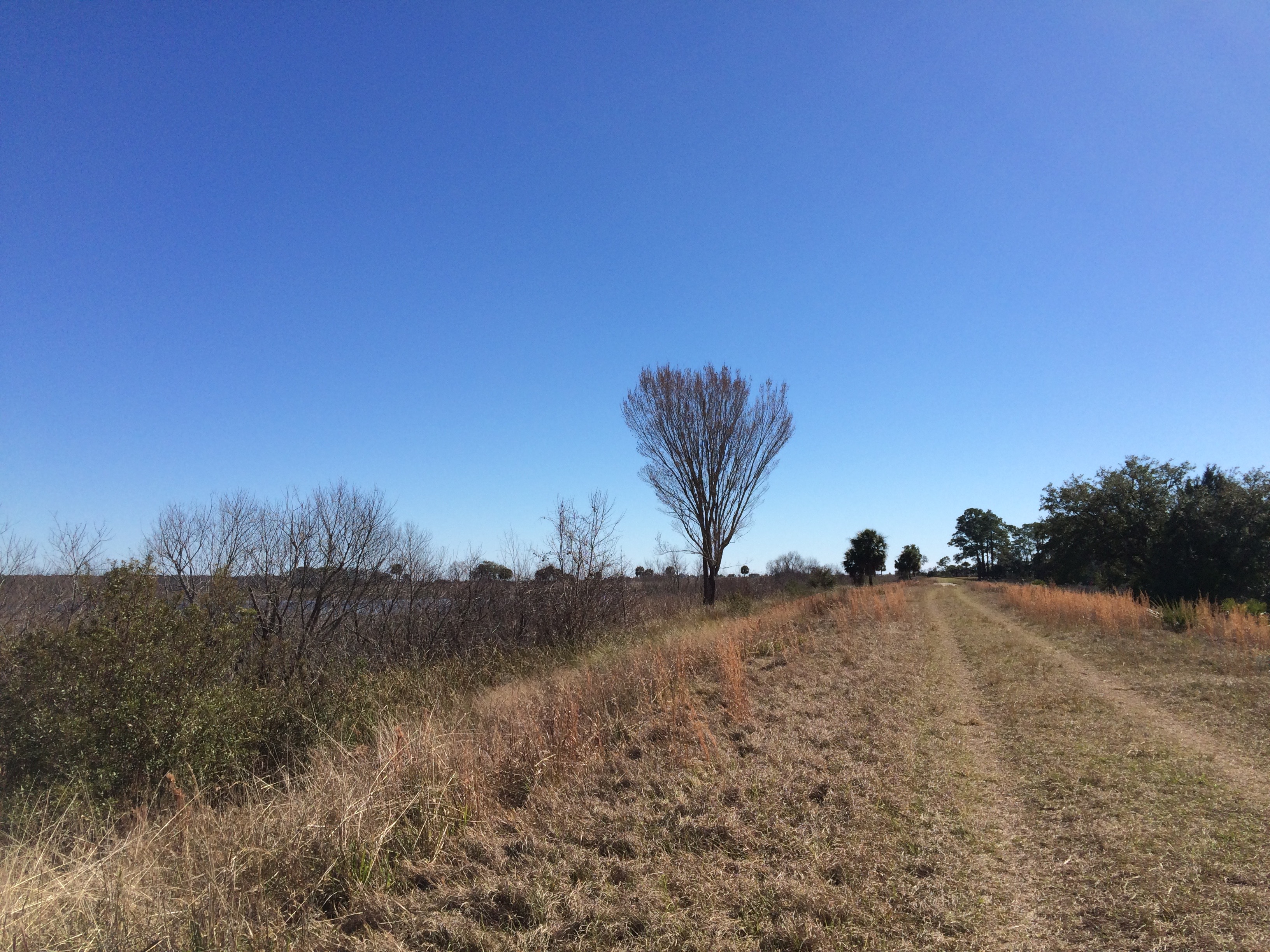
The refuge includes several Gulf of Mexico coastal habitats, such as saltwater marshes, islands, tidal creeks, and the estuaries of several north Florida rivers. It is home to a diverse range of plants, animal life and structures such as the St. Marks Lighthouse.

The refuge is inhabited by black bears, bobcats, otters, raccoons, foxes, coyotes, amphibians, alligators, snakes, freshwater and saltwater fish, as well as many different species of birds, including wading birds, waterfowl, and raptors.
The St. Marks Refuge Association's friends' group and the photography club supply the majority of volunteers for the St. Marks National Wildlife Refuge.
From 2009-2016, St. Marks NWR served as a winter home for young, endangered whooping cranes. These captive-hatched cranes were taught to follow an ultra light aircraft piloted by costumed Operation Migration pilots on a journey of more than 1200 mi from central Wisconsin to Florida. The refuge is also a stopping point for the yearly monarch butterfly migration. The festival is hosted annually to educate people on the practice of tagging monarch butterflies as they continue through their migration.
Wilderness
Designated in 1975 by the U.S. Congress as part of the National Wilderness Preservation System, the St. Marks Wilderness makes up 17,350 acres of the refuge. The Florida National Scenic Trail traverses the refuge for 41 mi, including a portion of the wilderness area.
Access
Public access points to the refuge are located at:
- Panacea Unit :Otter Lake, in Panacea :Bottoms Road, in Panacea :Skipper Bay Road, south of Medart :Purify Bay Road, in Medart
- Wakulla Unit :Shell Point Highway, north of Shell Point :Wakulla Beach Road, east of Shell Point
- Newport Unit and St. Marks Unit :Lighthouse Road, the main entrance, in Newport
- Aucilla Unit :Mandalay Bay Road, just east of the Aucilla River in Taylor County.
There is no paved public access to the refuge in Jefferson County.
In popular culture
The St. Marks National Wildlife Refuge and the St. Marks Light lighthouse are the settings of Jeff VanderMeer's 2014 horror novel Annihilation and the 2018 horror film of the same name based on the novel. Some exterior shooting was done of the national wildlife refuge and the lighthouse for the film, but ultimately the film was not shot there.
Gallery
References
References
- (2023-05-16). "St. Marks National Wildlife Refuge".
- "Whooping Cranes".
- [https://wilderness.net/visit-wilderness/?ID=574 St. Marks Wilderness] - Wilderness Connect
- St. Marks National Wildlife Refuge General Information brochure, April 2023
- Schardi, Katie. (29 March 2014). "Exploring 'Area X': Local author has hit with book series based on St. Marks Wildlife Refuge". Gannett.
- Bancroft, Colette. (May 17, 2017). "For Florida author Jeff VanderMeer, giant flying bears are all in a day's work". [[Tampa Bay Times]].
This article was imported from Wikipedia and is available under the Creative Commons Attribution-ShareAlike 4.0 License. Content has been adapted to SurfDoc format. Original contributors can be found on the article history page.
Ask Mako anything about St. Marks National Wildlife Refuge — get instant answers, deeper analysis, and related topics.
Research with MakoFree with your Surf account
Create a free account to save articles, ask Mako questions, and organize your research.
Sign up freeThis content may have been generated or modified by AI. CloudSurf Software LLC is not responsible for the accuracy, completeness, or reliability of AI-generated content. Always verify important information from primary sources.
Report