From Surf Wiki (app.surf) — the open knowledge base
Speer, Denver
Neighborhood in Denver, Colorado, U.S.
Neighborhood in Denver, Colorado, U.S.
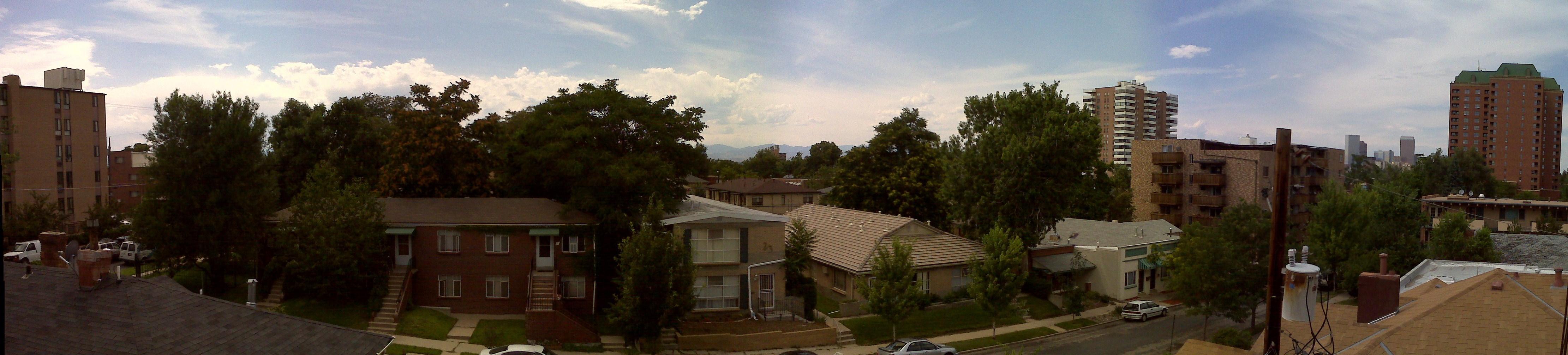
Speer is the official name for the Denver neighborhood bounded by 7th Avenue (north), Broadway (West), Alameda Avenue (South) and Downing Street (East). The northeast portion northeast of Speer Boulevard is generally referred to as Alamo Placita due to a local park and historic district of this name.
Characteristics

Recreation
Recreational outlets include Governors Park, which is immediately north of Speer, and Alamo Placita Park, which is located in the northeast portion of the neighborhood. Additionally, the Cherry Creek bike/pedestrian path is located along Cherry Creek/Speer Boulevard, and provides residents access to Denver’s trail system. Washington Park, Denver is also within easy biking and walking distance of the neighborhood.
References
References
This article was imported from Wikipedia and is available under the Creative Commons Attribution-ShareAlike 4.0 License. Content has been adapted to SurfDoc format. Original contributors can be found on the article history page.
Ask Mako anything about Speer, Denver — get instant answers, deeper analysis, and related topics.
Research with MakoFree with your Surf account
Create a free account to save articles, ask Mako questions, and organize your research.
Sign up freeThis content may have been generated or modified by AI. CloudSurf Software LLC is not responsible for the accuracy, completeness, or reliability of AI-generated content. Always verify important information from primary sources.
Report