From Surf Wiki (app.surf) — the open knowledge base
Southern Bug
River in Ukraine
River in Ukraine
| Field | Value |
|---|---|
| name | Southern Bug |
| name_native | uk |
| name_etymology | the Slavic hydronym bugъ/buga |
| image | Sunset S Bug Vinnitsa 2007 G1.jpg |
| image_size | 270 |
| image_caption | The Southern Bug in the vicinity of Vinnytsia, Ukraine |
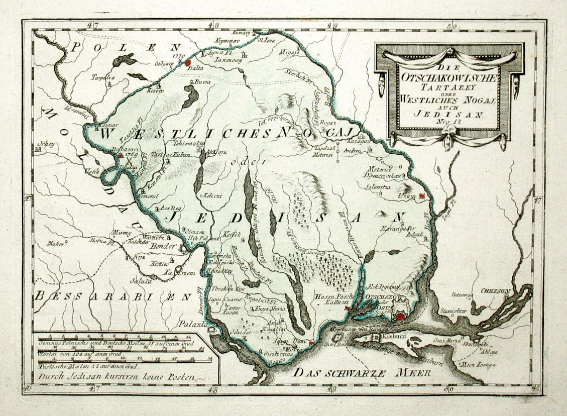
| map | PietinisBugas.png |
| map_size | 270px |
| map_caption | Southern Bug through Ukraine |
| mapframe | yes |
| mapframe-zoom | 5 |
| subdivision_type1 | Country |
| subdivision_name1 | Ukraine |
| subdivision_type2 | Cities |
| subdivision_name2 | Khmelnytskyi, Khmilnyk, Vinnytsia, Haivoron, Pervomaisk, Voznesensk, Mykolaiv |
| subdivision_type3 | Oblast |
| length | 806 km |
| discharge1_avg | 108 m3/s |
| source1_location | Khmelnytskyi Oblast, Ukraine |
| mouth_location | Bug estuary, Ukraine |
| progression | |
| basin_size | 63700 km2 |
| mapframe-zoom = 5

The Southern Bug, also called Southern Buh (; ; ; or just Bug), and sometimes Boh River (; ), is a navigable river located in Ukraine. It is the second-longest river flowing exclusively in Ukraine.
While located in relatively close proximity, the river should not be confused with Western Bug or Bug which flows in opposite direction towards Baltics. The source of the Southern Bug is in the west of Ukraine, in the Volhynian-Podolian Upland, about 145 km from the Polish border, from where it flows southeasterly into the Bug Estuary (Black Sea basin) through the southern steppes (see Granite-steppe lands of Buh park). It is 806 km long and drains 63700 km2.
Several regionally important cities and towns in Ukraine are located on the Southern Bug. Beginning in Western Ukraine and moving downstream, in a southeasterly direction, they are: Khmelnytskyi, Khmilnyk, Vinnytsia, Haivoron, Pervomaisk, Voznesensk and Mykolaiv.
On several occasions the river served as an international border. At least following the 1768–1774 Russo-Turkish War, and more narrowly the Chyhyryn campaigns, the river became a border between the Imperial Russia and Ottomans. Some 200 years later between 1941 and 1944 during World War II the Southern Bug formed the border between German-occupied Ukraine (Reichskommissariat Ukraine) and the Romanian-occupied part of Ukraine, called Transnistria.
Nomenclature and etymology
| | | or just Bug | |Ottoman
Herodotus (c. 484–425 BCE) refers to the river using its ancient Greek name: Hypanis. During the Migration Period of the 5th to the 8th centuries CE the Southern Bug represented a major obstacle to all the migrating peoples in the area. In his work Getica, Jordanes calls the river Bogossola. Mentioning of Bogossola could also be found in works of Guido of Pisa.
The long-standing local Slavic name of the river, Boh (Cyrillic: Бог), The Polish linguist Jan Michał Rozwadowski was explaining that the name derived from the Indo-European root "water", "source", "swamp". The 17th-century French military engineer and geographer Guillaume Le Vasseur de Beauplan recorded the name of the river as Bog. | author-link1 = Guillaume Le Vasseur de Beauplan | editor1-last = Golitsyn | editor1-first = Avgustin Petrovich |trans-title=Description of Ukraine from the borders of Muscovy to the limits of Transylvania | publication-date = 1861 | access-date = 2014-10-30
History
From the 16th to the 18th centuries most of the south of Ukraine was under Turkish imperial domination and the colonists renamed the river using their language to the Aq-su, meaning the "White river". Indigenous Slavic toponyms were re-established after the conquest of the Pontic region from Turkish domination in the 17th and 18th centuries.
On March 6, 1918, the Central Council of the Ukrainian People's Republic adopted a law on the "administrative-territorial division of Ukraine", dividing it into regional districts. One of these, Pobozhia (meaning lands of the Boh, ), was in the upstream lands of the Southern Bug, near the source of the river.
Tributaries
The main tributaries of the Southern Bug are, from source to mouth (length in parentheses):
- Left: Buzhok (75), Ikva (57), Snyvoda (58), Desna (80), Sob (115), Udych (56), Synytsia (78), Syniukha (111), Velyka Korabelna (45), Mertvovid (114), Hnylyi Yelanets (103), Inhul (354)
- Right: Vovk (71), Zghar (95), , (104), Silnytsia (67), Dokhna (68), Savran (97), Kodyma (149), Bakshala (57), Chychyklia (156)
Ecology
In October 2020, the Southern Bug was stocked with 350 kg of Hungarian carp and 50 kg of silver carp at Khmelnytskyi.
Bridges and ferries

The Varvarivskyi Bridge over Southern Bug in Mykolaiv is a swing bridge (facilitating ship building) with Europe's largest span (134 m). It is also the southernmost bridge over the river.
Gallery
File:Southern Bug under ice.JPG|Winter-frozen Southern Bug in Mykolaiv. File:Rika Ploska vpadaye v Pivdenny Bug, Khmelnitsky, 2005 07 28.jpg|The emptying into the Southern Bug File:South Bug Vinnitsa 2006 G1.JPG|Southern Bug in Vinnytsia File:Ship M I Pirogov Vinnitsa 2006 G2.jpg|A riverboat on the river in Vinnytsia (2006) File:South bug08.jpg|Riverside skyline of Khmelnytskyi File:Yujni bug 2.jpg|Southern Bug in vicinity of the Granite-steppe lands of Bug landscape park File:Меджибізький замок (травень 2011).jpg|Southern Bug in Medzhybizh File:Confluence of the rivers Southern Bug and Dnieper.jpg|Historical map of the confluence of the rivers Southern Bug and Dnieper
References
References
- "Encyclopædia Britannica: Southern Buh (River)". Encyclopædia Britannica.
- [http://www.encyclopediaofukraine.com/display.asp?linkpath=pages%5CB%5CO%5CBohRiver.htm Boh River] at the [[Encyclopedia of Ukraine]]
- [http://bse.sci-lib.com/article127687.html Южный Буг], [[Great Soviet Encyclopedia]]
- {{Cite Herodotus. 4.52
- [https://web.archive.org/web/20180612141806/http://www.tourclub.com.ua/ru/info/local-lore/southern_buh/river_peculiarities Southern Bug (Южный Буг)]. www.tourclub.com.ua.
- Gołąb, Zbigniew. (1992). "The Origins of the Slavs: A Linguist's View". Slavica.
- (26 October 2020). "У Південний Буг запустили 350 кілограмів угорського коропа".
- "History". Kyivdiprotrans Institute.
- [http://delo.ua/business/nibulon-zalozhil-osnovu-sobst-158527/ «НИБУЛОН» заложил основу собственного флота]{{in lang. uk
This article was imported from Wikipedia and is available under the Creative Commons Attribution-ShareAlike 4.0 License. Content has been adapted to SurfDoc format. Original contributors can be found on the article history page.
Ask Mako anything about Southern Bug — get instant answers, deeper analysis, and related topics.
Research with MakoFree with your Surf account
Create a free account to save articles, ask Mako questions, and organize your research.
Sign up freeThis content may have been generated or modified by AI. CloudSurf Software LLC is not responsible for the accuracy, completeness, or reliability of AI-generated content. Always verify important information from primary sources.
Report