From Surf Wiki (app.surf) — the open knowledge base
Somerfield, New Zealand
Suburb of Christchurch, New Zealand
Suburb of Christchurch, New Zealand
| Field | Value |
|---|---|
| name | Somerfield |
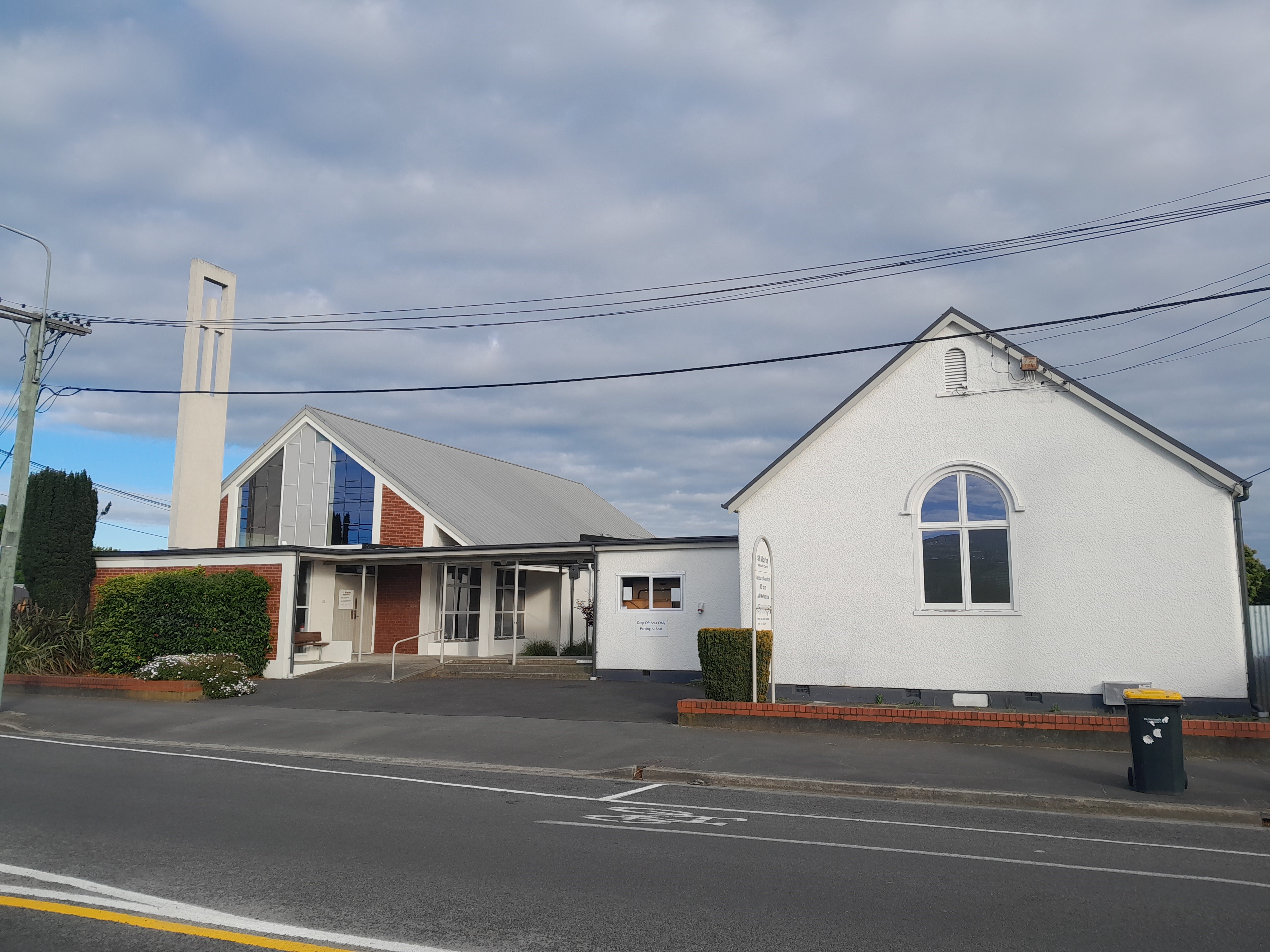
| image | Somerfield Park.JPG |
| caption1 | Somerfield Park |
| city1 | Christchurch |
| council | Christchurch City Council |
| ward | Cashmere |
| community_board | Waihoro Spreydon-Cashmere-Heathcote |
| coordinates | |
| area | 241 |
| areasource | |
| population | |
| popdate | |
| popref | |
| population_density_km2 | auto |
| mapframe | y |
| mapframe-zoom | 11 |
| mapframe-zoom= 11 Somerfield is a suburb in the south of Christchurch, New Zealand. It is nominally bordered by the Ōpāwaho / Heathcote River to the south and west, Strickland and Colombo Streets to the east, and Milton Street to the north. The suburb includes Somerfield School, Somerfield Park and a small number of shops which service the local area, although it is predominantly residential. Somerfield is also known for its wide variety of trees, especially along the banks of the Ōpāwaho / Heathcote River.
Etymology
Edward Bishop, an early Mayor of Christchurch, was born at Somerfield House in Maidstone, Kent, England in 1811. He came to Christchurch on the Charlotte Jane with all his siblings, and together with his youngest brother Frederick Augustus Bishop (1818–1894) bought land south of Christchurch along the Ōpāwaho / Heathcote River. They called their farm Somerfield, after their birthplace, and they appear on both the 1853 jury list and electoral roll as living there. Somerfield has since been adopted for the name of the suburb in that part of Christchurch. The 42 acre property was in 1864 owned by Richard Packer, who in turn passed it on to his son Henry William Packer (1831–1890).
Demographics
Somerfield covers 2.41 km2. It had an estimated population of as of with a population density of people per km2.
Somerfield had a population of 6,783 at the 2018 New Zealand census, an increase of 9 people (0.1%) since the 2013 census, and an increase of 267 people (4.1%) since the 2006 census. There were 2,649 households, comprising 3,216 males and 3,564 females, giving a sex ratio of 0.9 males per female, with 1,302 people (19.2%) aged under 15 years, 1,140 (16.8%) aged 15 to 29, 3,168 (46.7%) aged 30 to 64, and 1,176 (17.3%) aged 65 or older.
Ethnicities were 89.6% European/Pākehā, 8.0% Māori, 1.9% Pasifika, 6.6% Asian, and 2.3% other ethnicities. People may identify with more than one ethnicity.
The percentage of people born overseas was 21.7, compared with 27.1% nationally.
Although some people chose not to answer the census's question about religious affiliation, 54.9% had no religion, 33.6% were Christian, 0.2% had Māori religious beliefs, 0.8% were Hindu, 0.5% were Muslim, 0.9% were Buddhist and 2.3% had other religions.
Of those at least 15 years old, 1,593 (29.1%) people had a bachelor's or higher degree, and 828 (15.1%) people had no formal qualifications. 1,119 people (20.4%) earned over $70,000 compared to 17.2% nationally. The employment status of those at least 15 was that 2,793 (51.0%) people were employed full-time, 804 (14.7%) were part-time, and 162 (3.0%) were unemployed.
| Name | Area | |||||||
|---|---|---|---|---|---|---|---|---|
| (km2) | Population | Density | ||||||
| (per km2) | Households | Median age | Median | |||||
| income | New Zealand | 37.4 years | $31,800 | |||||
| Somerfield East | 1.23 | 3,723 | 3,027 | 1,473 | 38.2 years | $37,900 | ||
| Somerfield West | 1.18 | 3,060 | 2,593 | 1,176 | 43.0 years | $30,400 |
Education
Somerfield Te Kura Wairepo is a contributing primary school for years 1 to 6 with a roll of students. The school opened in 1911.
Cashmere High School, Te iringa o Kahukura is a secondary school for years 9 to 13 with a roll of students. The school opened in 1956 as Cashmere High School, and gained its Māori name of Te iringa o Kahukura in 1972.
Both schools are coeducational. Rolls are as of
References
References
- "Wards, Councillors and Community Boards map". Christchurch City Council.
- The population and area are the sum of the population and area in statistical areas of [https://www.stats.govt.nz/tools/2018-census-place-summaries/somerfield-east Somerfield East] and [https://www.stats.govt.nz/tools/2018-census-place-summaries/somerfield-west Somerfield West]
- Harper, Margaret. "Christchurch Place Names: N-Z". [[Christchurch City Libraries]].
- (22 October 1853). "Jury List". [[Lyttelton Times]].
- (16 July 1853). "Electoral Roll for the District of Christchurch". [[Lyttelton Times]].
- (6 April 1864). "Page 6 Advertisements Column 3". [[The Press]].
- "ArcGIS Web Application".
- {{NZ census 2018. Somerfield East (329100) and Somerfield West (329200)
- {{NZ census place summary 2018. somerfield-east. Somerfield East
- {{NZ census place summary 2018. somerfield-west. Somerfield West
- {{TKI. 3506. Somerfield Te Kura Wairepo
- (17 March 1911). "Somerfield School – Laying the Foundation Stone". The Press.
- Dunmer, P. (1986). "Somerfield School, 1911–1986 : 75th jubilee". Somerfield School?.
- {{TKI. 340. Cashmere High School
- "School History". Cashmere High School, Te iringa o Kahukura.
This article was imported from Wikipedia and is available under the Creative Commons Attribution-ShareAlike 4.0 License. Content has been adapted to SurfDoc format. Original contributors can be found on the article history page.
Ask Mako anything about Somerfield, New Zealand — get instant answers, deeper analysis, and related topics.
Research with MakoFree with your Surf account
Create a free account to save articles, ask Mako questions, and organize your research.
Sign up freeThis content may have been generated or modified by AI. CloudSurf Software LLC is not responsible for the accuracy, completeness, or reliability of AI-generated content. Always verify important information from primary sources.
Report