From Surf Wiki (app.surf) — the open knowledge base
Siljan (lake)
Lake in Sweden

Lake in Sweden
| Field | Value |
|---|---|
| name | Siljan |
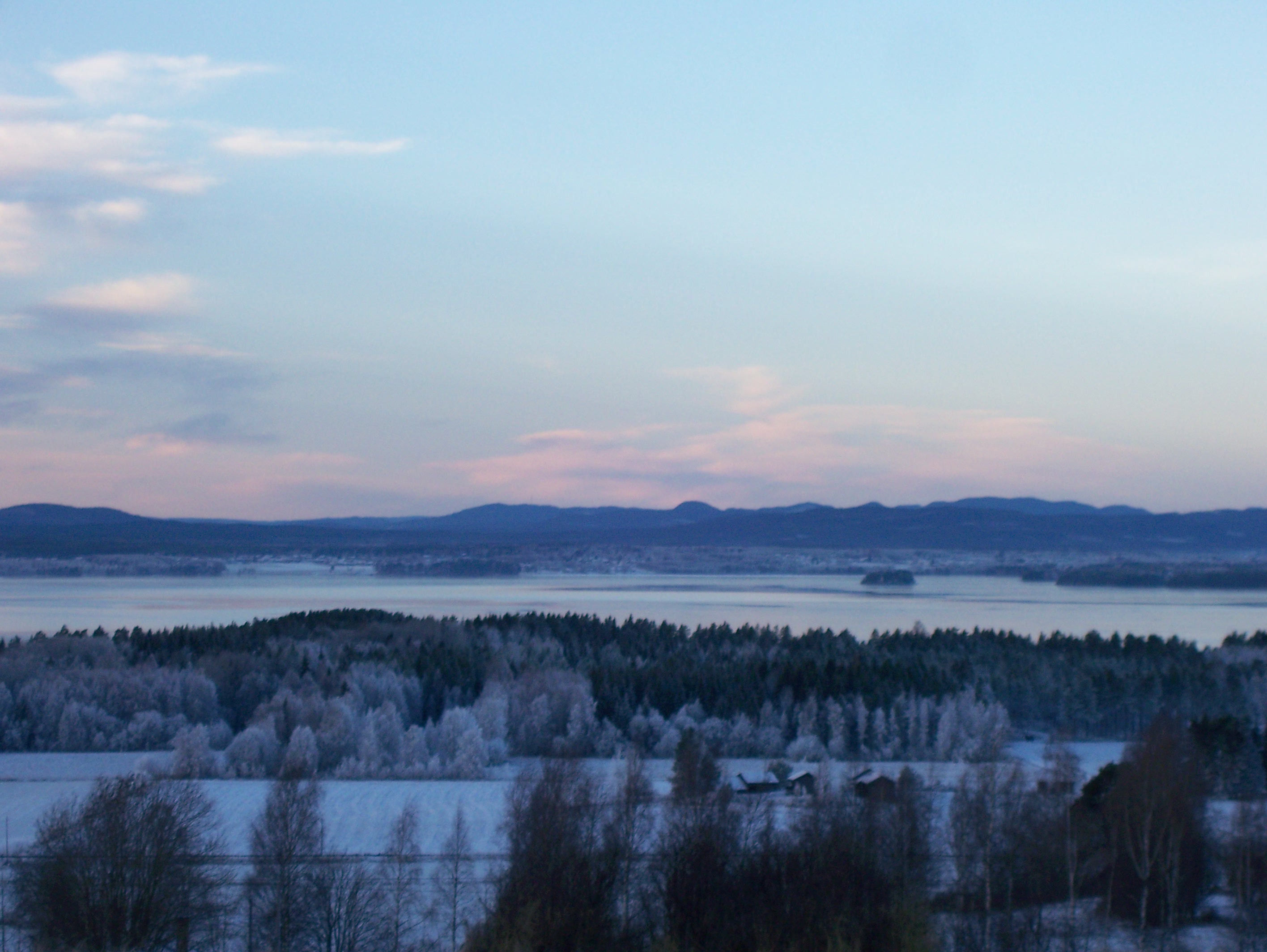
| image | Siljan WorldWind.jpg |
| caption | Landsat 7 satellite image |
| alt | Satellite image |
| image_size | 250 |
| coords | |
| basin_countries | Sweden |
| area | 354 km2 (including adjacent lakes) |
| max-depth | 134 m |
| volume | 42 km3 |
| elevation | 161 m |
| cities | Leksand, Mora, Rättvik |
| pushpin_map | Sweden Dalarna |
| pushpin_map_alt | Location in Dalarna, Sweden |
| max-depth = 134 m
Siljan, in Dalarna in central Sweden, is Sweden's seventh largest lake. The cumulative area of Siljan and the adjacent, smaller lakes Orsasjön and Insjön is 354 km2. Siljan reaches a maximum depth of {{convert|134 |m|ft|abbr=on}}, and its surface is situated 161 m above sea level. This renders the lowest point of the basin at 27 m above sea level. The largest town on its shore is Mora.
Impact crater
Main article: Siljan Ring
The lake is located around the southwestern perimeter of the Siljan Ring (Swedish: Siljansringen), a circular geological formation which was formed 377 million years ago in the Devonian by a major meteorite impact. The original crater, now mostly eroded, is estimated to have been about 52 km (32 mi) in diameter and is the largest known impact crater in Europe (excluding Russia). The Cambrian, Ordovician and Silurian sedimentary rocks deformed by the impact are rich in fossils.
Some people suspect that there might be oil in the area, but drilling has been unsuccessful so far. There are large deposits of lead and zinc in the Boda area.
Deep drilling project
In the 1980s, state-owned power company Vattenfall drilled a deep well in search of natural gas. The project began as a deep commercial wildcat well, and its unusual location in fractured granite attracted scientific attention (e.g., as potentially significant in the context of theory of abiogenic petroleum origin).
The Gravberg-1 well location, in the north-northeast section of the ring, was chosen because a gravity anomaly indicates less dense rock below, and four seismic reflectors may represent cap rock above a natural gas reservoir. Electrical resistance is lower in the ring than outside it, suggesting the rocks contain fluid. Soil in the area showed clear traces of methane and heavy hydrocarbons, with a halo around the ring coincident with vanadium and nickel trace elements; the sediment was shown to not be the source of the hydrocarbons due to their location, ice movement pattern, and low level of maturity. Although the greatest gas leakage was in the north-northwestern corner, the lack of leakage in the central area suggested an underlying cap.
Drilling began on 1 July 1986. By September 1989 it reached 6957 m in depth.
Four seismic reflectors were detected at 1440 m, 2800 m, 4740 m and 7400 m. The first three were penetrated and found to be dolerite sills, but the fourth had been identified before drilling as having the best potential for gas production. The dolerite is believed to have existed as much as 1/2 billion years before the meteorite impact. The granite is extensively fractured, with calcite as the principal cement down to the 3200 m depth, with lesser amounts to 5000 m.
Traces of methane were found at all depths, with higher levels in dolerite. Although they appear to be of abiogenic origin, only that near the dolerite sills points to a probable mantle origin. Hydrogen was found in most sections of the hole, correlated with helium. The helium isotopic pattern was consistent with a radiogenic, crustal origin.
A black sticky substance was found to be blocking the drill pipe when circulation was stopped for several days at a depth of 5520 m. The substance was black, sticky when wet, powdery when dry, showed no fluorescence, and was strongly magnetic. None of the drilling materials showed gas chromatographic patterns which corresponded with the black substance. It contained no ordinary rock minerals, none of the granite fines expected in the drilling fluid, but is made up of microscopic magnetite held together by oils.
The well did not penetrate the fourth seismic reflector, did not produce large quantities of fuel, and never entered commercial production. Only 84 oilbbl of oil were produced; it was later shown to originate from organic additives, lubricants and mud used in the drilling process.
A second hole, Stenberg-1, was drilled in the center of the ring, 12 km distant from the ring sediments and from Gravberg-1. This well went to a depth of 6500 m. The hole produced gases and oily magnetite sludge similar to those found in Gravberg-1.
Localities in the Siljan Ring
- Leksand
- Mora
- Orsa
- Rättvik
- Boda
References
- {{cite book
References
- {{Cite Earth Impact DB
- Jeffrey, A.W.A, Kaplan, I.R., 1989. Drilling fluid additives and artifact hydrocarbons shows: examples from the Gravberg-1 well, Siljan Ring, Sweden, Scientific Drilling, Volume 1, Pages 63-70
- Kerr, R.A., 1990. When a Radical Experiment Goes Bust, Science 9, Volume 247, Issue 4947, Pages 1177-1179
- Castano, J.R., 1993. Prospects for Commercial Abiogenic Gas Production: Implications from the Siljan Ring Area, Sweden, In: The future of energy gases: U.S. Geological Survey Professional Paper 1570, p. 133-154.
- "The Origin of Methane (And Oil) in the Crust of the Earth".
This article was imported from Wikipedia and is available under the Creative Commons Attribution-ShareAlike 4.0 License. Content has been adapted to SurfDoc format. Original contributors can be found on the article history page.
Ask Mako anything about Siljan (lake) — get instant answers, deeper analysis, and related topics.
Research with MakoFree with your Surf account
Create a free account to save articles, ask Mako questions, and organize your research.
Sign up freeThis content may have been generated or modified by AI. CloudSurf Software LLC is not responsible for the accuracy, completeness, or reliability of AI-generated content. Always verify important information from primary sources.
Report