From Surf Wiki (app.surf) — the open knowledge base
Siesta Key, Florida
| Field | Value |
|---|---|
| official_name | Siesta Key, Florida |
| other_name | Little Sarasota Key, Sarasota Key |
| settlement_type | Census-designated place |
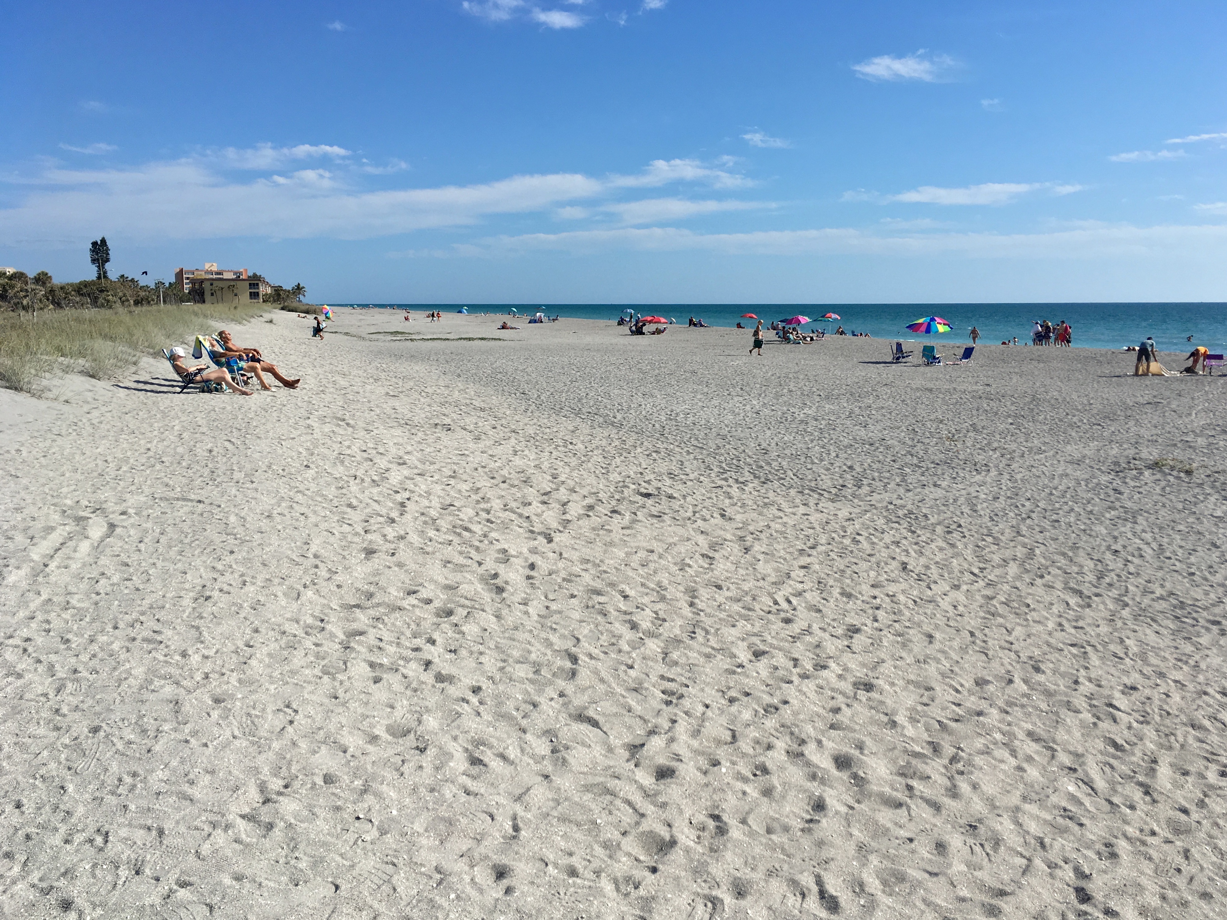
| image_skyline | Red Lifeguard Stand at Siesta Key Beach.jpg |
| image_caption | Lifeguard stand at Siesta Key Beach |
| image_map | Sarasota_County_Florida_Incorporated_and_Unincorporated_areas_Siesta_Key_Highlighted.svg |
| mapsize | 250x200px |
| map_caption | Location in Sarasota County and the state of Florida |
| subdivision_type | Country |
| subdivision_name | United States |
| subdivision_type1 | State |
| subdivision_name1 | Florida |
| subdivision_type2 | County |
| subdivision_name2 | Sarasota |
| established_title | |
| unit_pref | Imperial |
| area_footnotes | |
| area_total_km2 | 8.97 |
| area_land_km2 | 6.07 |
| area_water_km2 | 2.90 |
| area_total_sq_mi | 3.46 |
| area_land_sq_mi | 2.34 |
| area_water_sq_mi | 1.12 |
| population_as_of | 2020 |
| population_total | 5454 |
| population_density_km2 | 898.23 |
| population_density_sq_mi | 2326.79 |
| timezone | EST |
| utc_offset | −05:00 |
| timezone_DST | EDT |
| utc_offset_DST | −04:00 |
| coordinates | |
| coordinates_footnotes | |
| elevation_ft | 7 |
| elevation_footnotes | |
| postal_code_type | ZIP Code |
| postal_code | 34242 |
| area_code | 941 |
| blank_name | FIPS code |
| blank_info | 12-66000 |
| blank1_name | GNIS feature ID |
| blank1_info | 2402852 |
Siesta Key is a barrier island off the southwest coast of the U.S. state of Florida, located between Roberts Bay and the Gulf of Mexico. A portion of it lies within the city boundary of Sarasota, but the majority of the key is a census-designated place (CDP) in Sarasota County. Siesta Key is part of the North Port–Bradenton–Sarasota, Florida Metropolitan Statistical Area.
History
From the 19th century to the early 20th century, Siesta Key was known by a variety of names, including Little Sarasota Key and Sarasota Key. The first attempts to develop the key were by the Siesta Land Company in 1907, consisting of Harry Higel, Captain Louis Roberts, and E. M. Arbogast. The company platted the northern end of the key as Siesta on the Gulf of Mexico as well as dredged bayous and built docks.
Access to Siesta Key was by boat or ferry until the first bridge connecting it to the mainland was completed in 1917. The bridge was replaced in 1927 with the addition of a second bridge located on the southern end of the key. The entire key officially was recognized as Siesta Key by 1952.
On October 9, 2024, Hurricane Milton made landfall as a Category 3 hurricane near Siesta Key.
Geography
According to the United States Census Bureau, the CDP has a total area of 9.0 km2, of which 6.1 km2 is land and 2.9 km2, or 32.08%, is water.
Siesta Key is made up of four main districts: Siesta Beach, Crescent Beach, Turtle Beach, and Siesta Key Village. It contains a suburban residential area located on the Siesta Key barrier island on the West coast of Florida, just west of the town of Sarasota. The community on Siesta Key consists of single-family homes, condominiums, retail shops, and art galleries.
Beaches
Beaches on Siesta Key include Siesta Beach, Crescent Beach, and Turtle Beach.
Demographics
As of the 2020 United States census, Siesta Key CDP had a population of 5,454 with 2,948 households.
The population was split by age, with 1.0% under 5 years old, 6.5% under 18, and 54.9% were 65 years and older. 51.2% were female persons.
By race, the population was split with 93.6% white, 0.4% American Indian or Alaska Native, 1.8% were Asian, 3.6% were two or more races, and 2.7% were Hispanic or Latino.
The median household income was $108,527. 3.3% of the population lived below the poverty threshold. 98.7% of households had a computer, and 91.3% of households had a broadband internet subscription.
11.8% of the population were foreign-born persons. There were 483 veterans living in the CDP.
Notable people
- Frederick Fennell (1914-2004), noted band conductor and musical educator.
- John D. MacDonald (1916-1986), author of the Travis McGee series and other works of mid-20th-century fiction
References
- Explore Sarasota and Vicinity, Kenneth F. Tricebock, 1988
References
- "2020 U.S. Gazetteer Files". United States Census Bureau.
- "U.S. Census website".
- {{GNIS. 2402852
- "The Siesta Key Beach Pavilion".
- "Bridges Played a Role in Siesta Key Development".
- (2024-10-10). "Hurricane Milton live updates: Monster storm makes landfall near Siesta Key, Florida".
- "Geographic Identifiers: 2010 Demographic Profile Data (G001): Siesta Key CDP, Florida". U.S. Census Bureau, American Factfinder.
- "Welcome to Siesta Key!".
- Ferguson, J.. (2015). "Moon Sarasota & Naples: Including Sanibel Island & the Everglades". Avalon Travel Publishing.
- "Google Maps".
- Adams, Rick. (December 10, 2015). "Erosion of Turtle Beach to be repaired with beach restoration project".
- "QuickFacts Siesta Key CDP, Florida". United States Census Bureau.
- "Siesta Key home".
This article was imported from Wikipedia and is available under the Creative Commons Attribution-ShareAlike 4.0 License. Content has been adapted to SurfDoc format. Original contributors can be found on the article history page.
Ask Mako anything about Siesta Key, Florida — get instant answers, deeper analysis, and related topics.
Research with MakoFree with your Surf account
Create a free account to save articles, ask Mako questions, and organize your research.
Sign up freeThis content may have been generated or modified by AI. CloudSurf Software LLC is not responsible for the accuracy, completeness, or reliability of AI-generated content. Always verify important information from primary sources.
Report