From Surf Wiki (app.surf) — the open knowledge base
Shaw Boulevard
Highway in Metro Manila, Philippines

Highway in Metro Manila, Philippines
| Field | Value | ||||
|---|---|---|---|---|---|
| image | Shaw Boulevard - West Capitol Drive Intersection B (cropped) (cropped).jpg | ||||
| caption | Shaw Boulevard facing southeast at its intersection with West Capitol Drive in Pasig | ||||
| name | Shaw Boulevard | ||||
| former_names | Jose Rizal Boulevard | ||||
| Pasig Boulevard | |||||
| namesake | William James Shaw | ||||
| José Rizal (previously) | |||||
| maint | Department of Public Works and Highways - Metro Manila 1st District Engineering Office | ||||
| length_km | 5.27 | ||||
| length_ref | |||||
| width | Full carriageway | ||||
| 10.0 m to 17.4 m | |||||
| Lane width | |||||
| 3.35 m to 4.35 m | |||||
| allocation | {{plainlist | ||||
| * {{Jct | country | PHL | N | 141}} | |
| direction_a | West | ||||
| terminus_a | Sevilla Bridge at Manila–Mandaluyong boundary | ||||
| junction | |||||
| *{{Jct | country | PHL | AH | N1 | name2=EDSA}} |
| direction_b | East | ||||
| terminus_b | in Pasig | ||||
| completion_date | 1960 | ||||
| location | Mandaluyong and Pasig |
Pasig Boulevard José Rizal (previously) 10.0 m to 17.4 m Lane width 3.35 m to 4.35 m
- R-5
Shaw Boulevard (formerly known as Jose Rizal Boulevard and Pasig Boulevard) is a 4-8 lane highway connecting the cities of Mandaluyong and Pasig in the Philippines. The boulevard is named after William James Shaw, founder of the Wack Wack Golf and Country Club in Mandaluyong. The road is one of the major thoroughfares of the Ortigas Center in Mandaluyong and Pasig, housing many shopping malls like the Starmall shopping center and Shangri-La Plaza at the EDSA-Shaw intersection and The Marketplace, which is visible from the Kalentong-Shaw intersection and Sevilla Bridge.
It is served by the Shaw Boulevard station of the MRT-3 along its intersection with EDSA. Bus and jeepney routes serve the entirety of the road, going to and from Quiapo, Santa Mesa, José Rizal University, EDSA, Ortigas Center, the Pasig Public Market, and various towns in Rizal.
Route description

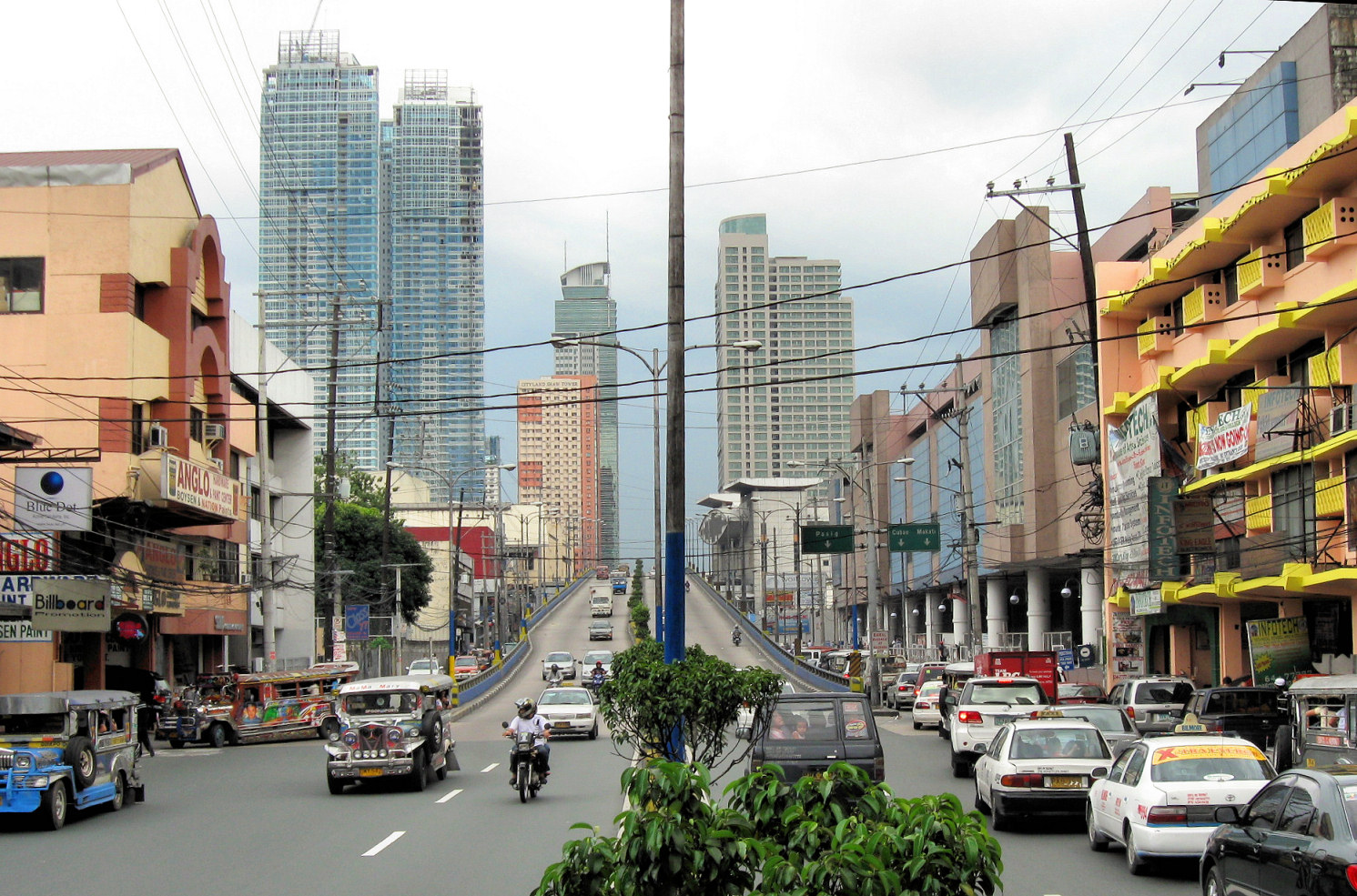

Shaw Boulevard starts as a four-lane road at Sevilla Bridge, which crosses the San Juan River, before coming to an intersection past General Kalentong Street. It is the physical continuation of P. Sanchez Street in Manila. It follows a slightly curved route over Mandaluyong before crossing EDSA; the intersection of the highway with EDSA is commonly called Crossing for this reason. The road expands into four lanes per direction, with two lanes going to the flyover and two lanes passing below. The flyover carries the road over Shaw Boulevard MRT station and descends near EDSA Shangri-La. The road becomes a dual six-lane carriageway east of EDSA and soon enters Pasig. Shaw Boulevard is eventually reduced to a four-lane road, extending to C-5 as Pasig Boulevard.
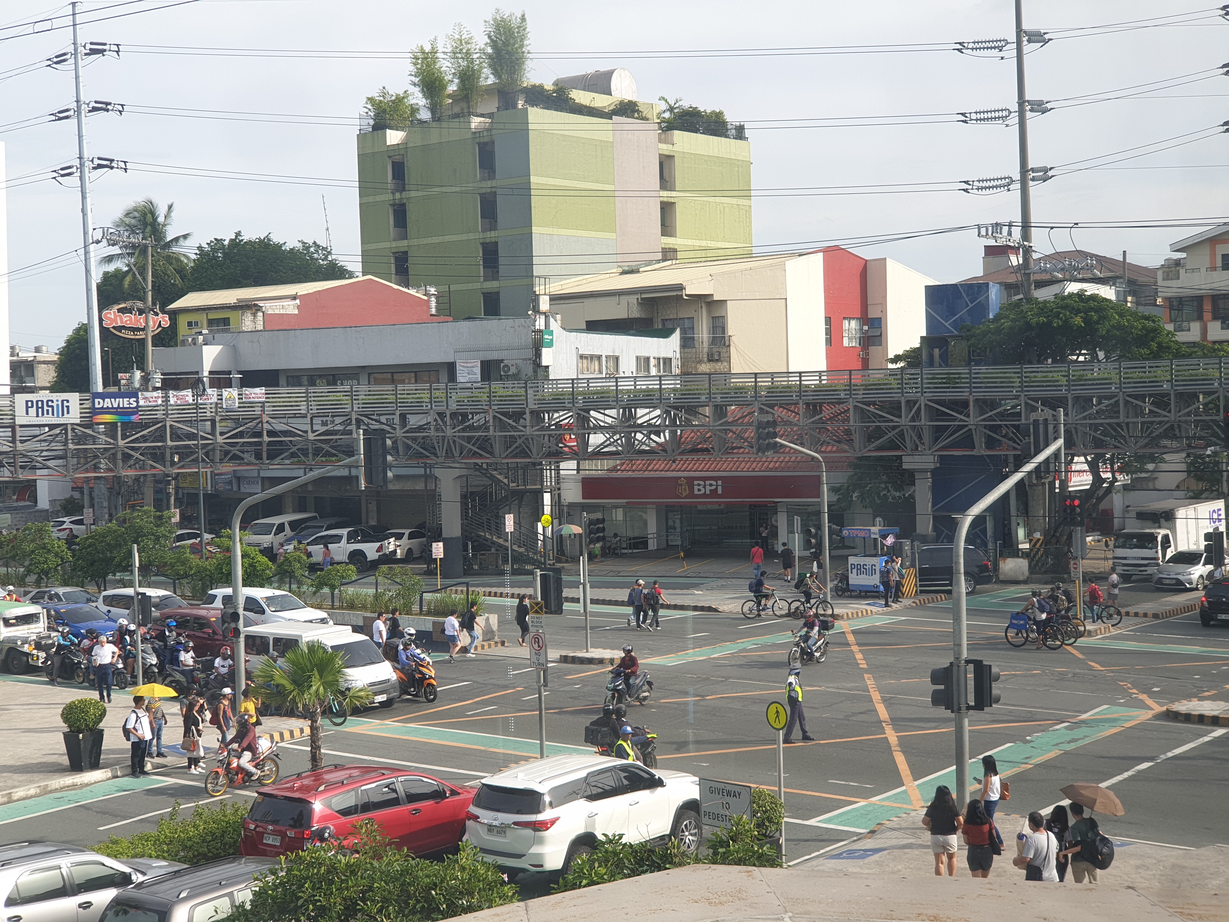
The entire span of the road and its continuations from Sevilla Bridge to Pasig Boulevard have Class II paint-separated one-way bike lanes on both sides as part of the Metropolitan Bike Lane Network. The intersection of Shaw Boulevard, West Capitol Drive, and Camino Verde Road has dedicated bike boxes, which were introduced in September 2021.
Proposal for the elevated expressway
In 2014, under the Roadmap for Transport Infrastructure Development for Metro Manila and Its Surrounding Areas (Region III & Region IV-A; also known as the Metro Manila Dream Plan), the Japan International Cooperation Agency (JICA) study proposes a dual 2-lane elevated expressway from NLEX-SLEX Connector Road (later renamed as NLEX Connector during construction) near Santa Mesa over this highway (R-5) through Pasig to connect with C-5. It was mentioned again in the 2019 follow-up report.
Landmarks
Landmarks are listed from west to east.
Mandaluyong
- José Rizal University (formerly José Rizal College)
- SM Hypermarket Mandaluyong (formerly Makro Mandaluyong)
- Shaw Center Mall
- Saint John Paul II Mission Station
- SM Center Shaw (formerly Cherry Foodarama Shaw)
- Philippine Charity Sweepstakes Office
- Worldwide Corporate Center
- Nine Media Corporation (Radio Philippines Network, RPTV)
- Southern Broadcasting Network (free-to-air television network of Solar Entertainment)
- Starmall EDSA Shaw (formerly Manuela Complex)
- Shaw Boulevard station (MRT-3)
- Shangri-La Plaza
- Rustan's (formerly known as Crossings Department Store)
- Greenfield District
- Lourdes School of Mandaluyong
Pasig
- Shaw Boulevard station (MMS, future)
- Capitol Commons
- Ynares Sports Arena
- Citystate Centre
- Aliw Broadcasting Corporation
Public transportation
Jeepney routes
- Pasig - Quiapo (T205)
- EDSA/Shaw - Morong (T256)
- EDSA/Shaw - Tanay (T257)
- EDSA/Shaw - Binangonan (T258)
- EDSA/Shaw - Pasig (T295)
- EDSA/Shaw - Taytay (T297)
- EDSA/Shaw - Antipolo (T298)
- EDSA/Shaw - Kalentong/JRU (T347)
UV Express routes
- Pasig - Quiapo (N63)
- Quiapo - SM Megamall (N65)
- Binangonan - Starmall Shaw (N72)
- Taytay - Starmall Shaw (N74)
Rail stations
- Shaw Boulevard station (MRT Line 3)
- Shaw Boulevard station (Metro Manila Subway, under construction)
Intersections
References
References
- "Metro Manila 1st".
- "Road and Bridge Inventory".
- (August 1945). "Manila, Philippines map". American Red Cross Service Bureau.
- [http://www.mandaluyong.gov.ph/ 1]
- [http://24timezones.com/onlinemap/philippines_mandaluyong_city.php 2]
- (August 25, 2022). "List of all bike lanes based on DPWH classifications".
- Laurel, Drei. (Sep 15, 2021). "Can this new intersection in Pasig serve as a model for other cities?". [[Top Gear Philippines]].
- (March 2014). "ROADMAP PROJECTS PROFILE".
- (August 2019). "FOLLOW-UP SURVEY ON ROADMAP FOR TRANSPORT INFRASTRUCTURE DEVELOPMENT FOR GREATER CAPITAL REGION (GCR): FINAL REPORT - SUMMARY".
- (October 7, 2020). "ADDITIONAL ROUTES ALLOWED FOR THE OPERATION OF TRADITIONAL PUJ VEHICLES DURING THE PERIOD OF GCQ IN METRO MANILA AND ENTERING METRO MANILA".
- (April 10, 2021). "AADDITIONAL ROUTES ALLOWED FOR THE OPERATION OF UV EXPRESS VEHICLES DURING THE PERIOD OF GCQ IN METRO MANILA".
- (May 2, 2021). "AADDITIONAL ROUTES ALLOWED FOR THE OPERATION OF UV EXPRESS VEHICLES DURING THE PERIOD OF GCQ IN METRO MANILA AND ENTERING METRO MANILA".
- Sarao, Zacarian. (September 11, 2022). "Portion of Meralco Ave. in Pasig City to be closed until 2028 for subway project".
- Galvez, Daphne. (October 3, 2022). "Bongbong Marcos leads groundbreaking for 2 Metro Manila subway stations".
This article was imported from Wikipedia and is available under the Creative Commons Attribution-ShareAlike 4.0 License. Content has been adapted to SurfDoc format. Original contributors can be found on the article history page.
Ask Mako anything about Shaw Boulevard — get instant answers, deeper analysis, and related topics.
Research with MakoFree with your Surf account
Create a free account to save articles, ask Mako questions, and organize your research.
Sign up freeThis content may have been generated or modified by AI. CloudSurf Software LLC is not responsible for the accuracy, completeness, or reliability of AI-generated content. Always verify important information from primary sources.
Report