From Surf Wiki (app.surf) — the open knowledge base
Shark River Slough
Area in the Florida Everglades
Area in the Florida Everglades
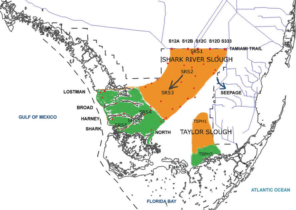
Shark River Slough (SRS) is a low-lying area of land that channels water through the Florida Everglades, beginning in Water Conservation Area 3, flowing through Everglades National Park, and ultimately into Florida Bay. Together with Taylor Slough to the east, Shark River Slough is an essential conduit of overland freshwater to Florida Bay. Shark River Slough is also known as the "River of Grass."
Description
Shark River Slough is the dominant path for flow of water into Everglades National Park. SRS is a mixture of sawgrass marshes, tree islands, sloughs, and wet prairies. The SRS is bordered by marl prairies.
Everglades restoration
Historically, Shark River Slough was the primary path for water flow in the Everglades system. Restoration of the historic function of the slough is essential to restoration of Everglades National Park.
Tidal influence
Shark River Slough has tides from the Gulf of Mexico that reach 30 km inland.
References
References
- "Ecosystems: Freshwater Slough". National Park Service.
- "Ecosystems: Freshwater Slough". National Park Service.
- "Flow Velocity, Water Temperature, and Conductivity in Shark River Slough, Everglades National Park, Florida: August 2001-June 2002". U.S. Geological Survey.
- "Flow Velocity, Water Temperature, and Conductivity in Shark River Slough, Everglades National Park, Florida: August 2001-June 2002". U.S. Geological Survey.
- "Ecosystem History of the Southwest Coast-Shark River Slough Outflow Area". U.S. Geological Survey.
- "The Shark River Slough". Duke University Wetland Center.
- "sofia.usgs.gov". U.S. Geological Survey.
This article was imported from Wikipedia and is available under the Creative Commons Attribution-ShareAlike 4.0 License. Content has been adapted to SurfDoc format. Original contributors can be found on the article history page.
Ask Mako anything about Shark River Slough — get instant answers, deeper analysis, and related topics.
Research with MakoFree with your Surf account
Create a free account to save articles, ask Mako questions, and organize your research.
Sign up freeThis content may have been generated or modified by AI. CloudSurf Software LLC is not responsible for the accuracy, completeness, or reliability of AI-generated content. Always verify important information from primary sources.
Report