From Surf Wiki (app.surf) — the open knowledge base
Serang
City and capital of Banten, Indonesia
City and capital of Banten, Indonesia
| Field | Value |
|---|---|
| name | Serang |
| official_name | City of Serang |
| Kota Serang | |
| settlement_type | City |
| translit_lang1 | Name |
| translit_lang1_type2 | Sundanese |
| translit_lang1_info2 | |
| image_skyline | {{multiple image |
| total_width | 300 |
| border | infobox |
| perrow | 1/2 |
| caption_align | center |
| image1 | Great Mosque of Serang.jpg |
| caption1 | Ats-Tsauroh Great Mosque of Serang |
| image2 | Cagar Alam Pulau Dua, Banten, 23042017.jpg |
| caption2 | Pulau Dua Nature Reserve |
| image3 | Pintu Masuk Stasiun Serang, Agustus 2019.jpg |
| caption3 | Serang Railway Station |
| image_flag | Flag of Serang City.png |
| image_seal | Seal of the City of Serang.svg |
| nickname | Paddy Field City |
| motto | Kota Serang Madani |
| (Self-reliant City of Serang) | |
| image_map | Locator Kota Serang.png |
| map_caption | Location within Banten |
| pushpin_map | Indonesia_Java#Indonesia |
| pushpin_label_position | right |
| pushpin_map_caption | Location in Java##Location in Indonesia |
| coordinates | |
| subdivision_type | Country |
| subdivision_name | Indonesia |
| subdivision_type1 | Province |
| subdivision_name1 | Banten |
| established_title | Established |
| established_date | 2 November 2007 |
| government_type | Mayor–council |
| governing_body | Serang City Government |
| leader_title | Mayor |
| leader_name | Budi Rustandi (Gerindra) |
| leader_title1 | Vice Mayor |
| leader_name1 | |
| leader_title3 | Legislature |
| leader_name3 | Serang City Regional House of Representatives (DPRD) |
| area_total_km2 | 263.16 |
| elevation_m | 17 |
| population_total | 735651 |
| population_as_of | mid 2023 estimate |
| population_density_km2 | auto |
| population_note | |
| timezone | Indonesia Western Time |
| utc_offset | +7 |
| postal_code_type | Postcodes |
| area_code | (+62) 254 |
| area_code_type | Area code |
| registration_plate | A |
| registration_plate_type | Registration plate |
| website |
the city in Indonesia
Kota Serang (Self-reliant City of Serang)
Serang (, , Sundanese: ) is a city and the capital of Banten province and was formerly also the administrative center of Serang Regency in Indonesia (the Regency's capital is now at Ciruas). The city is located towards the north of Banten province, on the island of Java; the north part of the city (Kasemen District) contains the coast zone facing onto Banten Bay, and includes the historical site of Old Banten, after which the province is named. Before Banten province was formed in 2000, Serang city was part of West Java province.
Serang has a tropical rainforest climate, with no dry season month. It faces the Java Sea, which is home to the Thousand Islands.
Serang had a population of 576,961 in the 2010 census, making it the third most populous city in the province of Banten. The 2020 Census gave a total of 692,101; the official estimate as at mid 2023 was 735,651. Serang is located approximately 15 km from the border of Jabodetabek (the Jakarta Metropolitan Area), and is sometimes considered as amalgamated with Greater Jakarta.
Culture
Religion
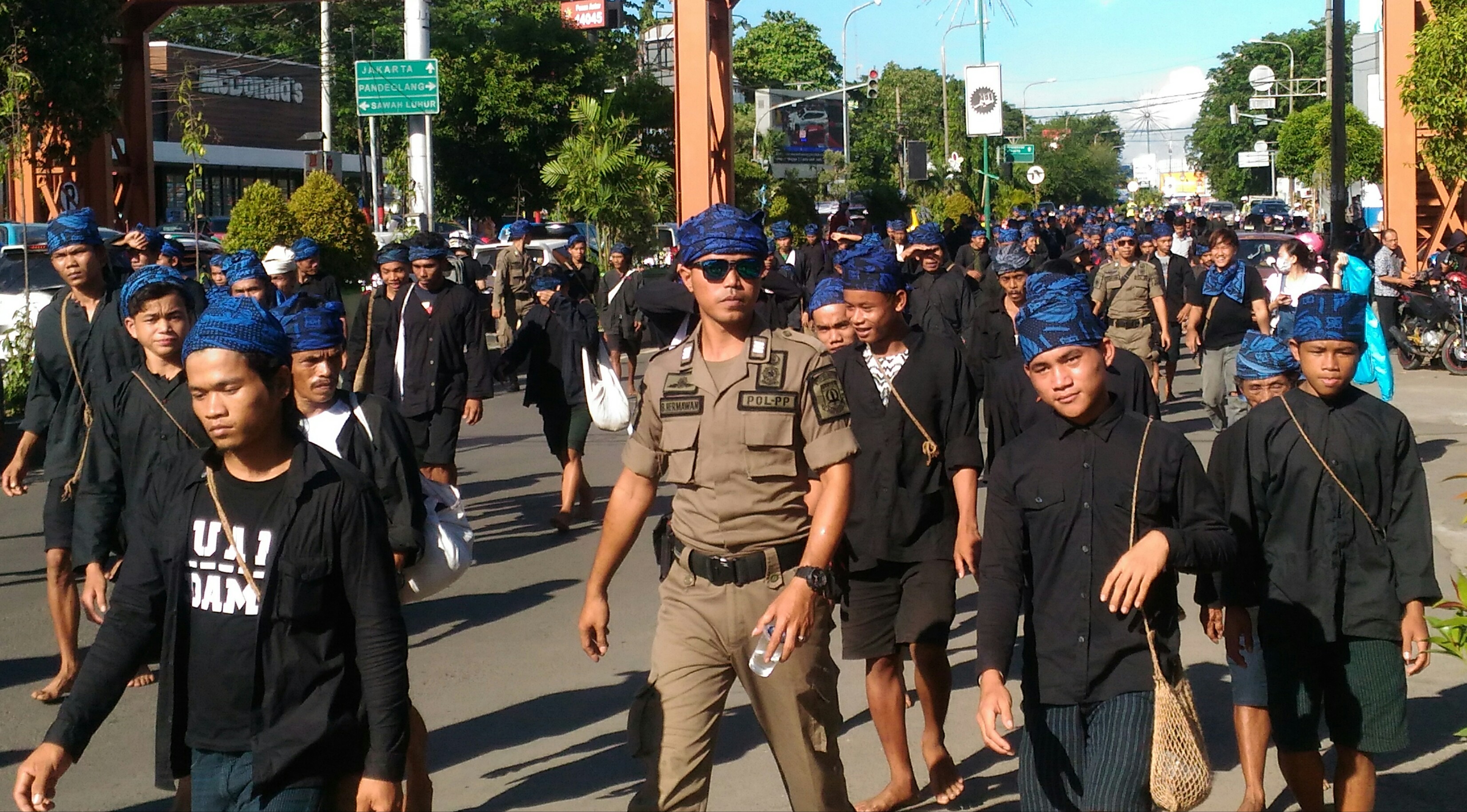
The majority of people in Serang and Banten Province embrace Islam, but other religions coexist peacefully. Serang is often known as "kota santri" or the "city of pious people", due to the history as a traditional center of Islamic learning. The city hosts two of the major congregational mosques in Banten province, Ats-Tsauroh Great Mosque of Serang and Al-Bantani Grand Mosque, which hold the capacity of 2,500 and 10,000 worshippers respectively.
Language
Compared with the majority in Banten Province who speak the Sundanese language, some local residents in Serang also speak the Javanese language with a dialect similar to the Cirebon dialect of Javanese. The reason for this is that many Javanese migrants arrived in early 1527 to build the Banten Sultanate, and remained to form the base of today's population.
Transportation
The city is served by station, operated by Indonesia's rail operator PT Kereta Api Indonesia.
The Tangerang–Merak Toll Road, part of the Trans-Java toll road, passes through the city of Serang.
The road to the proposed Sunda Strait Bridge would start in Serang, pass through Merak in neighboring Cilegon city to cross over the Sunda Strait to Sumatra.
The nearest airport is Soekarno-Hatta International Airport in nearby Jakarta which is located approximately 29 km from the city centre.
Administrative districts
Serang was formerly a part of Serang Regency. On 2 November 2007, the status of Serang was changed into a municipality (kota madya), independent of the Regency. Since that time, Serang City is a semi-enclave within Serang Regency, as the city borders the regency in the south, east, and west, while it borders with Java Sea in the north.
The City of Serang is divided into six districts (kecamatan), tabulated below with their areas and their populations at the 2010 Census and the 2020 Census, together with the official estimates as at mid 2023. The table also includes the number of administrative villages (all classed as urban kelurahan) in each district, and its postal codes.
| Kode | ||
|---|---|---|
| Wilayah | Name of | |
| District | ||
| (kecamatan) | Area | |
| in | ||
| km2 | Pop'n | |
| Census | ||
| 2010 | Pop'n | |
| Census | ||
| 2020 | Pop'n | |
| Estimate | ||
| mid 2023 | No. | |
| of | ||
| villages | Post | |
| codes | ||
| 36.73.04 | ||
| 36.73.03 | ||
| 36.73.05 | ||
| 36.73.01 | ||
| 36.73.06 | ||
| 36.73.02 | ||
Climate
Serang has a tropical rainforest climate (Köppen: Af) with heavy rainfall year-round. Rain gets noticeably heavier from December to March.
Emblem
The emblem of Serang consists of
- A hexagon with an image of the gerbang Kaibon and a star.
- The streamer at the foot of the emblem contains the motto of Serang city, Kota Serang Madani ("Self-reliant Serang").
Notable people
- Arif Cahyono (born 1975) - army general
References
References
- according to Law UU No. 32/2007
- Badan Pusat Statistik, Jakarta, 28 February 6 September 2024, ''Kota Serang Dalam Angka 2024'' (sum of returns in district Katalogs as referenced below)
- https://en.wiktionary.org/wiki/Serang#Indonesian
- "Serang, Indonesia Travel Weather Averages (Weatherbase)".
- Biro Pusat Statistik, Jakarta, 2011.
- Badan Pusat Statistik, Jakarta, 2021.
- [https://www.timesindonesia.co.id/read/news/145390/mencari-kota-santri Mencari Kota Santri]. ''Times Indonesia''. Retrieved April 2, 2021.
- [https://duniamasjid.islamic-center.or.id/787/masjid-agung-ats-tsauroh/ Masjid Agung Ats Tsauroh]. ''Dunia Masjid''. Retrieved April 29, 2021.
- [https://simas.kemenag.go.id/profil/masjid/1966 MASJID AL-BANTANI] {{Webarchive. link. (29 April 2022 . ''Sistem Informasi Masjid''. Retrieved April 30, 2021.)
- Badan Pusat Statistik, Jakarta, 26 September 2024, ''Kecamatan Curug Dalam Angka 2024'' (Katalog-BPS 1102001.3673010)
- Badan Pusat Statistik, Jakarta, 26 September 2024, ''Kecamatan Walantaka Dalam Angka 2024'' (Katalog-BPS 1102001.3673020)
- Badan Pusat Statistik, Jakarta, 26 September 2024, ''Kecamatan Cipocok Jaya Dalam Angka 2024'' (Katalog-BPS 1102001.3673030)
- Badan Pusat Statistik, Jakarta, 26 September 2024, ''Kecamatan Serang Dalam Angka 2024'' (Katalog-BPS 1102001.3673040)
- Badan Pusat Statistik, Jakarta, 26 September 2024, ''Kecamatan Taktakan Dalam Angka 2024'' (Katalog-BPS 1102001.3673050)
- Badan Pusat Statistik, Jakarta, 26 September 2024, ''Kecamatan Kasemen Dalam Angka 2024'' (Katalog-BPS 1102001.3673060)
- "Serang climate: Average Temperature, weather by month, Serang weather averages - Climate-Data.org".
This article was imported from Wikipedia and is available under the Creative Commons Attribution-ShareAlike 4.0 License. Content has been adapted to SurfDoc format. Original contributors can be found on the article history page.
Ask Mako anything about Serang — get instant answers, deeper analysis, and related topics.
Research with MakoFree with your Surf account
Create a free account to save articles, ask Mako questions, and organize your research.
Sign up freeThis content may have been generated or modified by AI. CloudSurf Software LLC is not responsible for the accuracy, completeness, or reliability of AI-generated content. Always verify important information from primary sources.
Report