From Surf Wiki (app.surf) — the open knowledge base
Schwalm-Eder-Kreis
| Field | Value |
|---|---|
| name | Schwalm-Eder-Kreis |
| image_flag | Flagge Schwalm-Eder-Kreis.svg |
| image_coa | Wappen Schwalm-Eder-Kreis.svg |
| state | Hessen |
| capital | Homberg (Efze) |
| regierungsbezirk | Kassel |
| area | 1538.56 |
| Kreisschlüssel | 06634 |
| coordinates | |
| carsign | HR, FZ, MEG, ZIG |
| district_admin | Winfried Becker |
| admin_party | SPD |
| url | |
| map |
Schwalm-Eder-Kreis is a Kreis (district) in the north of Hesse, Germany. Neighbouring districts are Kassel, Werra-Meißner, Hersfeld-Rotenburg, Vogelsberg, Marburg-Biedenkopf, and Waldeck-Frankenberg.
History
In 1821 districts were created in Hesse. They included the districts of Fritzlar, Homberg, Melsungen, and Ziegenhain. In 1932 the districts of Fritzlar and Homberg were merged; in 1974 the three districts of Fritzlar-Homberg, Melsungen, and Ziegenhain were merged into the Schwalm-Eder district.
The district is twinned with the Finnish city of Kajaani, the British district of Sedgemoor, and the Polish district of Piła.
Geography
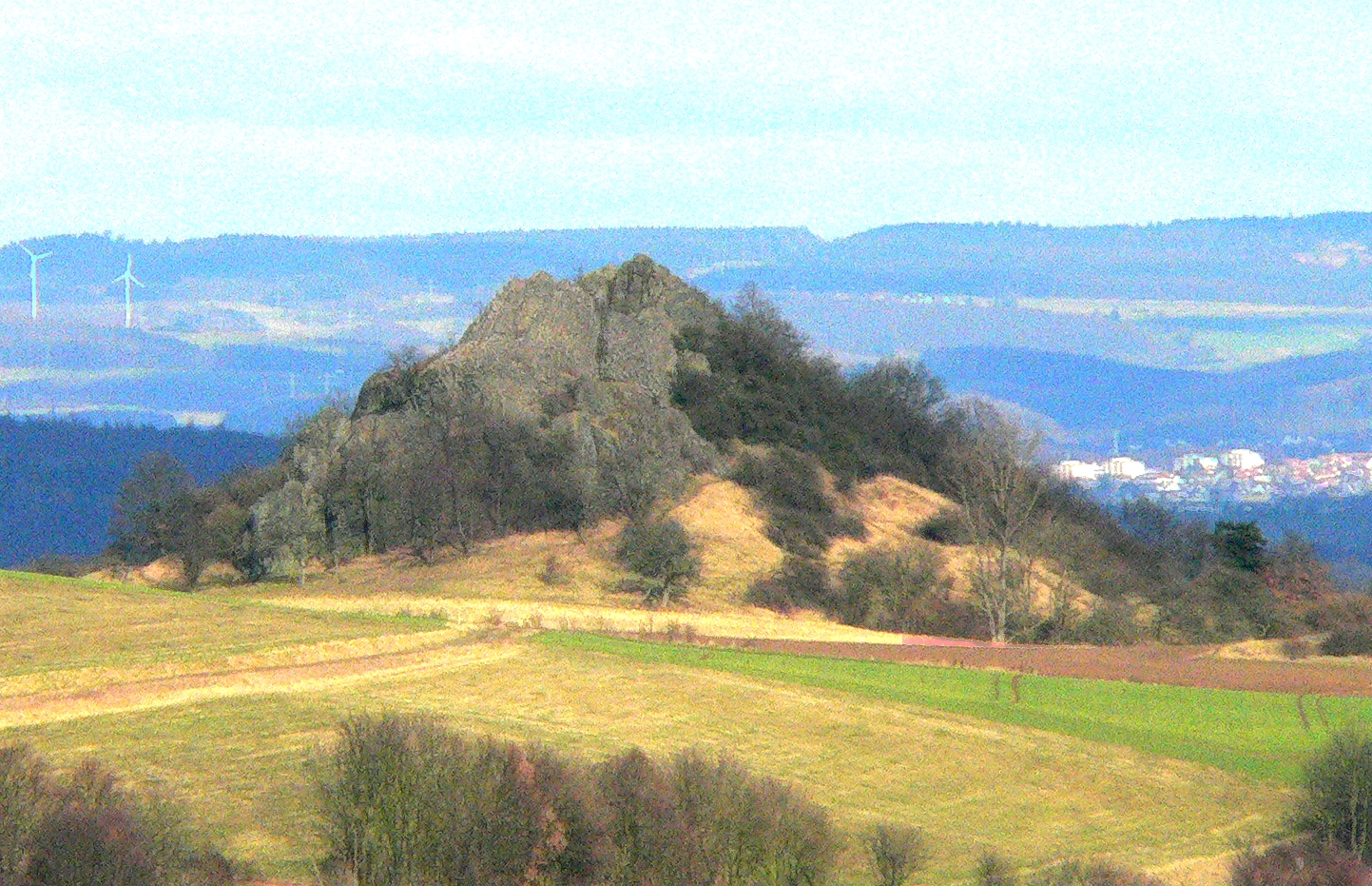
The Schwalm and Eder rivers give the district its name. After they merge close to Felsberg, the Eder enters the Fulda to the north at Edermunde. The southeast of the district includes a portion of the Knüllgebirge range of low mountains; the highest elevation is 634 m. In the north are the hills of the Homberger Hochland. The centre of the district is largely rural, and is surrounded by the mountains of the Knüll, the Stölzinger Gebirge, and the Kellerwald with the 675 metre-high Wüstegarten mountain, the highest peak in the district.
Geology
In the east, the geology of the Knüllgebirge is dominated by the clastic Triassic strata of the Middle Buntsandstein, as is the western region around the Gilserberg. | access-date = 28 October 2014}}
Soils of weathered Buntsandstein are generally acidic to slightly basic and nutrient-poor. For the most part the land is forested.
In the district of Fritzlar there are outcrops of younger Upper Buntsandstein, known as the Röt Formation, because of its red colour. These strata consist of clay beds and various kinds of calcareous beds, interbedded with clayey marls.
Coat of arms
The coat of arms shows the lion of Hesse (azure a lion rampant crowned, barry of six argent and gules, armed or). Below are wavy lines (three bars wavy argent) that symbolise the three main rivers in the district, the Schwalm, the Eder, and the Fulda.
Towns and municipalities
| Towns | Municipalities |
|---|
References
This article was imported from Wikipedia and is available under the Creative Commons Attribution-ShareAlike 4.0 License. Content has been adapted to SurfDoc format. Original contributors can be found on the article history page.
Ask Mako anything about Schwalm-Eder-Kreis — get instant answers, deeper analysis, and related topics.
Research with MakoFree with your Surf account
Create a free account to save articles, ask Mako questions, and organize your research.
Sign up freeThis content may have been generated or modified by AI. CloudSurf Software LLC is not responsible for the accuracy, completeness, or reliability of AI-generated content. Always verify important information from primary sources.
Report