From Surf Wiki (app.surf) — the open knowledge base
Saint Elias Mountains
Mountain range in Canada and USA
Mountain range in Canada and USA
| Field | Value |
|---|---|
| name | Saint Elias Mountains |
| photo | Mt Saint Elias, South Central Alaska.jpg |
| photo_caption | Mount Saint Elias |
| country | |
| subdivision1_type | Provinces |
| subdivision1 | |
| subdivision2_type | State |
| subdivision2 | Alaska |
| parent | Pacific Coast Ranges |
| listing | List of mountain ranges |
| area_km2 | 112509 |
| borders_on | Wrangell Mountains |
| length_mi | 300 |
| width_mi | 90 |
| highest | Mount Logan |
| elevation_m | 5959 |
| elevation_ref | |
| coordinates | |
| coordinates_ref | |
| range_coordinates | |
| map_image | Wrangell Mountains.jpg |
| map_caption | Saint Elias Mountains, southeast of the Wrangell Mountains |
| fetchwikidata | ALL |
The Saint Elias Mountains () are a subgroup of the Pacific Coast Ranges, located in southeastern Alaska in the United States, southwestern Yukon and the very far northwestern part of British Columbia in Canada. The range spans Wrangell-St. Elias National Park and Preserve in the United States and Kluane National Park and Reserve in Canada and includes all of Glacier Bay National Park in Alaska. In Alaska, the range includes parts of the city/borough of Yakutat and the Hoonah-Angoon, Copper River and Chugach census areas.
This mountain range is named after Mount Saint Elias, which in turn was named in 1741 by the Danish-born Russian explorer Vitus Bering.
Geology
The Saint Elias Mountains form the highest coastal mountain range on Earth. It formed due to the subduction of the Yakutat microplate underneath the North American Plate. The Yakutat microplate is a wedge shaped oceanic plateau with a thickness of 20 to. Similar to the adjacent Pacific Plate, which has a crustal thickness of 7 km, the Yakutat plate is moving northwestward at a rate of 50 mm per year with respect to North America. The Yakutat plate is transported northwards along the active Fairweather Fault, which probably started more than 35 million years ago. Due to its thickness, the Yakutat plate is buoyant, resulting in surface uplift of the overriding North American plate, which formed the Talkeetna Mountains and the Alaska Range in Southcentral Alaska, located above the subducted part of the Yakutat plate.
The Saint Elias Mountains formed at the plate boundary between the Yakutat and North American plates. The up-to-12 km-thick sediments that have been deposited on top of the Yakutat plate became imbricated and deformed as they were scraped off and compose today the southern (coastal) flanks of the St. Elias Mountains. In contrast the high elevated regions of the drainage divide (Bagley Icefield, Seward Glacier) and north of it are composed of rocks that are part of the North American plate. The highest peaks of the St. Elias Mountains are located in the high ice field region of the Kluane National Park (Mount Logan, Mount Vancouver) and north of the Malaspina Glacier (Mount Saint Elias, Mount Cook), in the region known as the St. Elias syntaxis. At the syntaxis region the tectonic style changes from strike-slip motion along the Fairweather Fault to collision west of Malaspina Strait. This tectonic transition concentrates stress in the crust at the syntaxis that together with efficient glacial erosion results in positive feedback processes that through time forms extreme high mountain peaks and local relief, and rapid exhumation of rocks from up to 10 km depths to the surface.
Ranges
The mountains are divided by the Duke Depression, with the shorter, more rounded Kluane Ranges to the east, and the higher Icefield Ranges to the west. Sub-ranges of the Saint Elias include the Alsek Ranges, the Fairweather Range, and the Centennial Range.
Highest mountains
The highest mountains of the range include: |5959^Mount Logan^Yukon^Highest mountain in Canada |5489^Mount Saint Elias^Alaska-Yukon^Second highest in both Canada and the United States |5240^Mount Lucania^Yukon^#3 in Canada |5173^King Peak^Yukon^#4 in Canada |5073^Mount Steele^Yukon^#5 in Canada |5040^Mount Bona^Alaska^#5 in the United States |4850^Mount Wood^Yukon^#7 in Canada |4812^Mount Vancouver^Yukon^#15 in North America |4766^Mount Churchill^Alaska^4th highest volcano in the United States |4700^Mount Macaulay^Yukon^Connected to SW ridge of Mt. Wood |4671^Mount Fairweather^Alaska-B.C.^#1 in British Columbia |4557^Mount Hubbard^Alaska-Yukon^#8 in United States, #12 in Canada |4520^Mount Bear^Alaska^#18 in United States |4507^Mount Walsh^Yukon |4420^Mount Alverstone^Alaska-Yukon |4410^University Peak^Alaska |4344^McArthur Peak^Yukon |4289^Mount Augusta^Alaska-Yukon |4250^Mount Kennedy^Yukon^Elevation is estimated 4250 to. |4196^Mount Cook^Alaska-Yukon
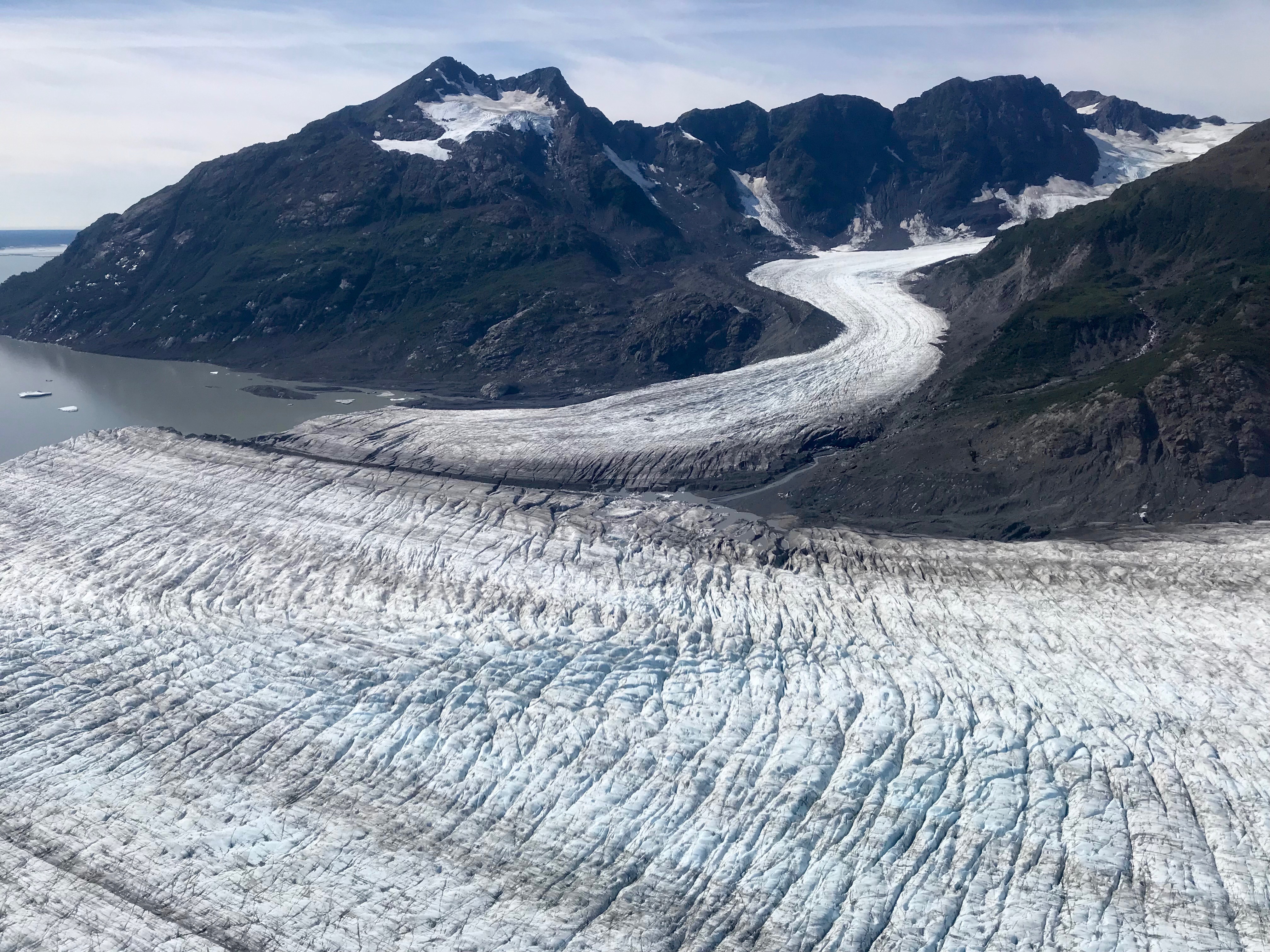
Image
References
;Sources
- {{cite book
- {{cite book
- {{cite book | editor-last1 = Wood | editor-first1 = Charles A. | editor-last2= Kienle | editor-first2 = Jürgen
References
- {{cite opentopomap. Mount Logan. 60.56710. -140.40535. 2023-05-28. 12
- {{cite cgndb
- {{cite gnis
- "Saint. Elias Mountains".
- (2010). "The Yakutat terrane: Dramatic change in crustal thickness across the Transition fault, Alaska". Geology.
- (2010). "Tectonic block motion and glacial isostatic adjustment in southeast Alaska and adjacent Canada constrained by GPS measurements". Journal of Geophysical Research.
- (2011). "Upper plate proxies for flat-slab subduction processes in southern Alaska". Earth and Planetary Science Letters.
- (1994). "The Geology of Alaska". Geological Society of America.
- (2009). "Intense localized rock uplift and erosion in the St. Elias orogen of Alaska". Nature Geoscience.
- "Saint Elias Mountains". Bivouac.com.
- Mount Fairweather is only partly in British Columbia. The highest peak entirely within British Columbia is Mount Waddington in the [[Coast Mountains. Coast Range]], 4019 m (13186 ft).
This article was imported from Wikipedia and is available under the Creative Commons Attribution-ShareAlike 4.0 License. Content has been adapted to SurfDoc format. Original contributors can be found on the article history page.
Ask Mako anything about Saint Elias Mountains — get instant answers, deeper analysis, and related topics.
Research with MakoFree with your Surf account
Create a free account to save articles, ask Mako questions, and organize your research.
Sign up freeThis content may have been generated or modified by AI. CloudSurf Software LLC is not responsible for the accuracy, completeness, or reliability of AI-generated content. Always verify important information from primary sources.
Report