From Surf Wiki (app.surf) — the open knowledge base
Rogers County, Oklahoma
County in Oklahoma, United States
County in Oklahoma, United States
| Field | Value | ||
|---|---|---|---|
| county | Rogers County | ||
| state | Oklahoma | ||
| ex image | 2006-08-23 - Road Trip - Day 31 - United States - Oklahoma - Foyil - Route 66 - Ed Galloway's Totem 4889676280.jpg | ||
| ex image cap | Ed Galloway's Totem Pole Park | ||
| image_seal | [[File:Rogers County Seal.gif | Rogers County Seal | 100px]] |
| image_flag | [[File:Rogers County Flag.webp | Rogers County Flag | 100px]] |
| founded year | 1907 | ||
| founded date | January 26 | ||
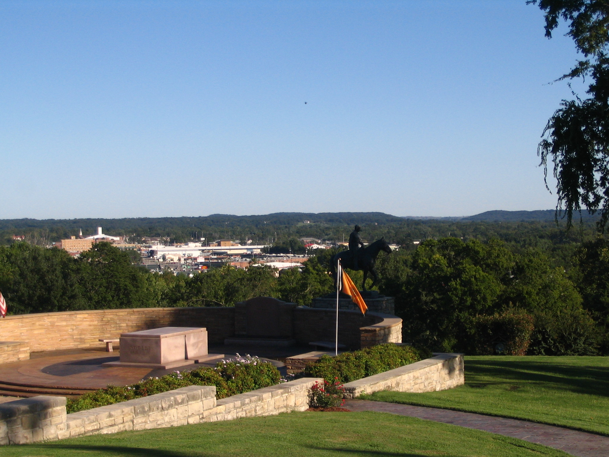
| seat wl | Claremore | ||
| largest city wl | Claremore | ||
| area_total_sq_mi | 711 | ||
| area_land_sq_mi | 676 | ||
| area_water_sq_mi | 36 | ||
| area percentage | 5.0% | ||
| pop_est_as_of | 2024 | ||
| pop_est_footnotes | |||
| population_est | 101371 | ||
| density_sq_mi | auto | ||
| time zone | Central | ||
| web | www.rogerscounty.org | ||
| named for | Clement Vann Rogers | ||
| district | 1st | ||
| district2 | 2nd | ||
| coordinates | |||
| other_cities | Catoosa, Collinsville, Owasso, Tulsa | ||
| leader_title | Chairman | ||
| leader_name | Steve Hendrix | ||
| ZIP codes | 74015, 74016, 74017, 74018, 74019, 74031, 74036, 74053, 74080 | ||
| area codes | 539, 918 | ||
| population_as_of | 2020 | population_total=95240 | population_footnotes= |
Rogers County is a county located in the northeastern part of the U.S. state of Oklahoma. As of the 2020 census, the population was 95,240, making it the sixth-most populous county in Oklahoma. The county seat is Claremore. Rogers County is included in the Tulsa metropolitan area.
Created in 1907 from the western Saline District of the Cherokee Nation, this area was named the Cooweescoowee District, and Cooweescoowee County at the time of statehood. However, the residents protested, and the name was changed to Rogers County, after Clem Vann Rogers, a prominent Cherokee rancher, and father of Will Rogers.
History
According to the Encyclopedia of Oklahoma History and Culture, the Arkansas Band of the Osage Nation settled in the Three Forks area (the junction of the Arkansas River, Grand River, and Verdigris River during the 1760s and established two villages called Pasuga and Pasona in what is now Rogers County. Pasona was near an ancient earthwork platform mound near the Verdigris River. It was later called Claremore Mound, to honor Osage chief Claremore (aka Gra-mon in Osage, meaning Arrow Going Home; his name was first recorded by French colonists as Clermont.)
In 1828, Cherokee bands who had left the Southeast early exchanged their Arkansas land for an area that included present-day Rogers County. This had been ceded by the Osage in 1825 under a treaty to the United States. The area became organized by the Cherokee Nation as the Saline District of their portion of Indian Territory. In 1907 the western portion of that district was organized as the Cooweescoowee District.
Upon statehood in 1908, the district was designated as a county named Cooweescoowee. Residents supported renaming the county in honor of Clement Vann Rogers, an early Cherokee settler and prominent rancher here.
Shortly after statehood, Eastern University Preparatory School was established on College Hill, just west of Claremore, Oklahoma. The Oklahoma Military Academy, established in 1919, took over the facility. In 1971 the academy was closed and the facility was converted for use by Claremore Junior College. As a four-year curriculum and graduate departments were added, the state legislature renamed the institution as Rogers State College and Rogers University, before settling in 1998 on the current Rogers State University.
Geography
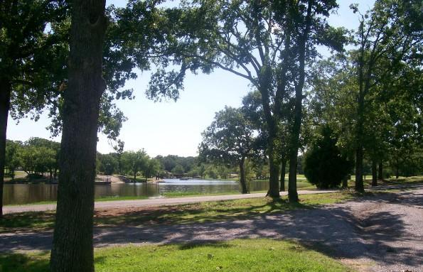
According to the U.S. Census Bureau, the county has a total area of 711 sqmi, of which 676 sqmi is land and 36 sqmi (5.0%) is water. The largest body of water is Lake Oologah. The main streams are the Caney River and the Verdigris River. There are also several smaller creeks and lakes in the county.
Adjacent counties
- Nowata County (north)
- Craig County (northeast)
- Mayes County (east)
- Wagoner County (south)
- Tulsa County (southwest)
- Washington County (northwest)
Demographics
| align-fn = center 1790–1960 1900–1990 1990–2000 2010–2019
2021 estimates
As of 2021, its median household income was $69,322 and 9.7% lived at or below the poverty line.
2020 census
As of the 2020 census, the county had a population of 95,240. Of the residents, 24.0% were under the age of 18 and 17.4% were 65 years of age or older; the median age was 39.8 years. For every 100 females there were 99.0 males, and for every 100 females age 18 and over there were 96.9 males.
The racial makeup of the county was 67.0% White, 1.2% Black or African American, 13.0% American Indian and Alaska Native, 1.8% Asian, 2.1% from some other race, and 14.8% from two or more races. Hispanic or Latino residents of any race comprised 5.5% of the population.
There were 35,179 households in the county, of which 33.4% had children under the age of 18 living with them and 20.7% had a female householder with no spouse or partner present. About 21.3% of all households were made up of individuals and 9.7% had someone living alone who was 65 years of age or older.
There were 37,798 housing units, of which 6.9% were vacant. Among occupied housing units, 78.1% were owner-occupied and 21.9% were renter-occupied. The homeowner vacancy rate was 1.7% and the rental vacancy rate was 7.3%.
2010 census
As of the 2010 census, there were 86,905 people, 31,884 households, and 24,088 families residing in the county. The population density was 105 /mi2. There were 27,476 housing units at an average density of 41 /mi2. The racial makeup of the county was 75.3% White, 1.0% Black or African American, 13.1% Native American, 1.1% Asian (0.5% Hmong, 0.1% Filipino, 0.1% Indian), 0.1% Pacific Islander, 1.4% from other races, and 8.1% from two or more races. Of the population 3.7% were Hispanic or Latino of any race (2.7% Mexican, 0.3% Puerto Rican, 0.2% Spanish, 0.1% Peruvian). 18.1% were of German, 13.8% Irish, 8.7% English, 3.0% French, 2.5% Scottish, and 2.2% Italian ancestries.
As of 2010, there were 31,884 households, out of which 38.40% had children under the age of 18 living with them, 65.60% were married couples living together, 8.90% had a female householder with no husband present, and 21.90% were non-families. Of all households, 19.00% were made up of individuals, and 7.50% had someone living alone who was 65 years of age or older. The average household size was 2.71 and the average family size was 3.10. In the county, the population was spread out, with 28.70% under the age of 18, 7.40% from 18 to 24, 28.60% from 25 to 44, 24.00% from 45 to 64, and 11.30% who were 65 years of age or older. The median age was 36 years. For every 100 females, there were 96.80 males. For every 100 females age 18 and over, there were 94.40 males.
As of 2010, its median income for a household in the county was $58,434 and the median income for a family was $67,691. The per capita income for the county was $26,400. About 7.2% of families and 9.9% of the population were below the poverty line, including 13.3% of those under age 18 and 7.3% of those aged 65 or over.
Of its population as of 2006, 96.7% spoke English, 1.7% Spanish, and 0.4% German as their first language.
Politics
| Voter Registration and Party Enrollment as of June 30, 2023 | Party | Number of Voters | Percentage | Total | 61,513 | 100% |
|---|---|---|---|---|---|---|
| Republican | 39,220 | 63.76% | ||||
| Democratic | 12,293 | 19.98% | ||||
| Libertarian | 527 | 0.86% | ||||
| Unaffiliated | 9,473 | 15.40% |
Communities
Cities
- Catoosa
- Claremore (county seat)
- Collinsville (primarily in Tulsa County)
- Owasso (primarily in Tulsa County)
- Tulsa (primarily in Tulsa County)
Towns
- Chelsea
- Fair Oaks (primarily in Wagoner County)
- Foyil
- Inola
- Oologah
- Talala
- Valley Park
- Verdigris
Census-designated places
- Bushyhead
- Gregory
- Justice
- Limestone
- Sequoyah
- Tiawah
Unincorporated communities
- Jamestown
- Keetonville
Education
School districts include:
K-12:
- Catoosa Public Schools
- Chelsea Public Schools
- Chouteau-Mazie Public Schools
- Claremore Public Schools
- Collinsville Public Schools
- Foyil Public Schools
- Inola Public Schools
- Oologah-Talala Public Schools
- Owasso Public Schools
- Sequoyah Public Schools
- Verdigris Public Schools
K-8:
- Justus-Tiawah Public Schools
The Big Cabin School District covered parts of the county until its 1992 dissolution. It merged into the Vinita school district.
NRHP sites
Main article: National Register of Historic Places listings in Rogers County, Oklahoma
The following sites in Rogers County are listed on the National Register of Historic Places:
- I.W.W. Beck Building, Oologah
- The Belvidere, Claremore
- Chelsea Motel, Chelsea
- Claremore Auto Dealership, Claremore
- Eastern University Preparatory School, Claremore
- Ed Galloway's Totem Pole Park, Foyil
- Hanes Home, Sageeyah
- Hogue House, Chelsea
- Mendenhall's Bath House, Claremore
- Maurice Meyer Barracks, Claremore
- Oologah Bank, Oologah
- Oologah Pump, Oologah
- Pryor Creek Bridge, Chelsea
- Will Rogers Birthplace, Oologah
- Will Rogers Hotel, Claremore
- Verdigris Club Lodge, Catoosa
References
References
- "QuickFacts Rogers County, Oklahoma". United States Census Bureau.
- "Find a County". National Association of Counties.
- Thomas, Sarah C. [http://www.okhistory.org/publications/enc/entry.php?entry=RO019 "Rogers County,"] ''Encyclopedia of Oklahoma History and Culture'', Oklahoma Historical Society, 2009. Accessed April 5, 2015.
- "Oklahoma: Individual County Chronologies". The Newberry Library.
- Paul B. Hatley, [http://www.okhistory.org/publications/enc/entry.php?entry=RO020 "Rogers State University"], ''Encyclopedia of Oklahoma History and Culture'', Oklahoma Historical Society, 2009. Accessed April 5, 2015.
- (August 22, 2012). "2010 Census Gazetteer Files". United States Census Bureau.
- "County Population Totals and Components of Change: 2020-2024". United States Census Bureau.
- "U.S. Decennial Census". United States Census Bureau.
- "Historical Census Browser". University of Virginia Library.
- (March 27, 1995). "Population of Counties by Decennial Census: 1900 to 1990". United States Census Bureau.
- (April 2, 2001). "Census 2000 PHC-T-4. Ranking Tables for Counties: 1990 and 2000". United States Census Bureau.
- "Rogers County QuickFacts from the US Census Bureau".
- (2021). "2020 Decennial Census Demographic Profile (DP1)".
- (2021). "2020 Decennial Census Redistricting Data (Public Law 94-171)".
- "U.S. Census website". [[United States Census Bureau]].
- "American FactFinder - Results". United States Census Bureau.
- "American FactFinder - Results". United States Census Bureau.
- "American FactFinder - Results". United States Census Bureau.
- "American FactFinder - Results". United States Census Bureau.
- "American FactFinder - Results". United States Census Bureau.
- "American FactFinder - Results". United States Census Bureau.
- "Data Center Results".
- (September 30, 2022). "Current Registration Statistics by County". ok.gov.
- Leip, David. "Dave Leip's Atlas of U.S. Presidential Elections".
- "2020 CENSUS - SCHOOL DISTRICT REFERENCE MAP: Rogers County, OK". [[U.S. Census Bureau]].
- (1992-05-07). "Merger of Schools OK'd". [[The Oklahoman]].
This article was imported from Wikipedia and is available under the Creative Commons Attribution-ShareAlike 4.0 License. Content has been adapted to SurfDoc format. Original contributors can be found on the article history page.
Ask Mako anything about Rogers County, Oklahoma — get instant answers, deeper analysis, and related topics.
Research with MakoFree with your Surf account
Create a free account to save articles, ask Mako questions, and organize your research.
Sign up freeThis content may have been generated or modified by AI. CloudSurf Software LLC is not responsible for the accuracy, completeness, or reliability of AI-generated content. Always verify important information from primary sources.
Report