From Surf Wiki (app.surf) — the open knowledge base
Rockaway Parkway
Avenue in Brooklyn, New York

Avenue in Brooklyn, New York
Rockaway Parkway is a major commercial street in the Canarsie neighborhood as well as the border between the Brownsville and East Flatbush neighborhoods of Brooklyn, New York. It occupies the position of East 97th Street in the Brooklyn street grid. Contrary to its name, Rockaway Parkway does not enter the Rockaways in Queens.
Structures
Canarsie High School campus, which includes the Urban Action Academy, High School for Innovation in Advertising and Media, and High School for Medical Professions, is at 1600 Rockaway Parkway. Also, a firehouse, churches (including the Holy Family Roman Catholic Church and a Church of God in Christ), and dozens of homes and businesses are on Rockaway Parkway.
Transportation
The following subway stations serve Rockaway Parkway:
- The Rockaway Parkway station is the southern terminus of the BMT Canarsie Line ().
- The Sutter Avenue-Rutland Road station is located one block away from the intersection of Rockaway Parkway and Rutland Road, over East 98th Street.
- The IRT New Lots Line also runs parallel to the street from East NY Avenue to Clarkson Avenue. And these bus routes serve the corridor:
- The B42 bus runs primarily along Rockaway Parkway, between Glenwood Road and either Schenck Street (Canarsie Pier), or Shore Parkway (Rockaway Parkway station). Riders can transfer for free from the station.
- The runs between Rockaway Avenue and either Glenwood Road (Canarsie), or Flatlands Avenue (Williamsburg).
- All westbound buses run from Glenwood Road to Flatlands Avenue.
- The runs between Clarkson Avenue and either Winthrop Street (Woodhull Hospital), or Rutland Road (Kings Plaza).
History
Rockaway Parkway originated as an 18th-century road to the Canarsie Ferry.
Description
Rockaway Parkway is divided into two segments by the Bay Ridge Branch of the LIRR.
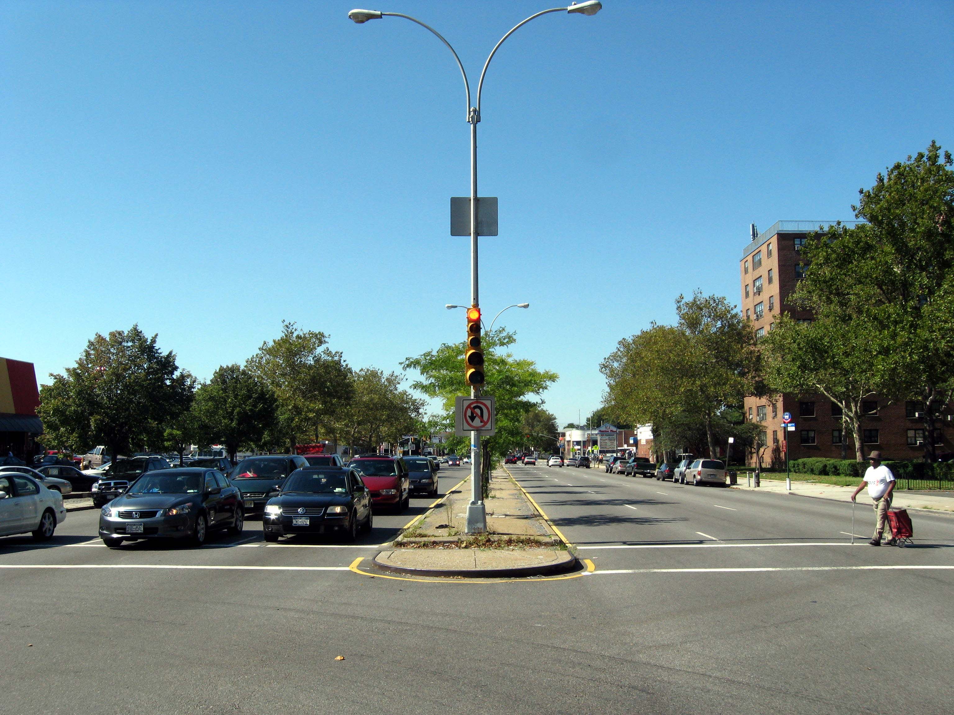
Its northern segment begins at East New York Avenue in Brownsville. It then intersects Linden Boulevard and ends past Ditmas Avenue. The southern segment begins north of Avenue D in Canarsie, then intersects Flatlands Avenue, crosses under the Belt Parkway, and ends at Canarsie Pier. Northbound and southbound traffic is separated by a median between Linden Boulevard and Rockaway Avenue; south of Seaview Avenue, Rockaway Parkway again becomes separated by a median to its southern terminus at Canarsie Pier.
References
References
- "Urban Action Academy".
- (June 17, 2012). "The First Graduates From Advertising High". [[The New York Times]].
- "B42: Rockaway Parkway: Service between Canarsie Pier and Rockaway Parkway Station".
This article was imported from Wikipedia and is available under the Creative Commons Attribution-ShareAlike 4.0 License. Content has been adapted to SurfDoc format. Original contributors can be found on the article history page.
Ask Mako anything about Rockaway Parkway — get instant answers, deeper analysis, and related topics.
Research with MakoFree with your Surf account
Create a free account to save articles, ask Mako questions, and organize your research.
Sign up freeThis content may have been generated or modified by AI. CloudSurf Software LLC is not responsible for the accuracy, completeness, or reliability of AI-generated content. Always verify important information from primary sources.
Report