From Surf Wiki (app.surf) — the open knowledge base
Rimonim
Israeli settlement in the West Bank
Israeli settlement in the West Bank
| Field | Value | ||
|---|---|---|---|
| name | Rimonim | ||
| image | File:Rimonim-Eli-lookout-5547.jpg | ||
| hebname | |||
| foundation | 1977 | ||
| founded_by | Nahal | ||
| country | Palestine | ||
| region | West Bank | ||
| district | js | ||
| council | Mateh Binyamin | ||
| affiliation | Agricultural Union | ||
| popyear | |||
| population | |||
| population_footnotes | |||
| pushpin_map | Israel binyamin | pushpin_mapsize=250 | pushpin_label_position = top |
| coordinates |
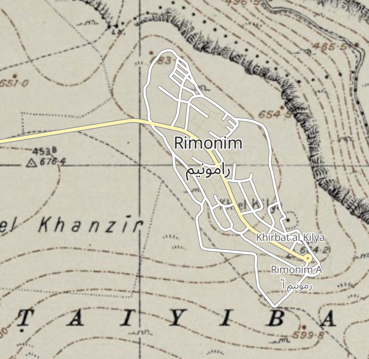
Rimonim (), is an Israeli settlement in the West Bank. Located on the Allon Road, about a twenty-minute drive north-east from Jerusalem, it falls under the jurisdiction of Mateh Binyamin Regional Council. In it had a population of .
The international community considers Israeli settlements in the West Bank illegal under international law, but the Israeli government disputes this.
Etymology
The village is named after the biblical Rock of Rimmon (present-day Rammun). The name comes from the Book of Judges: "But six hundred men turned and fled toward the wilderness unto the rock of Rimmon, and abode in the rock of Rimmon four months" (Judges, 20:47).
History
According to ARIJ, Israel confiscated 393 dunam of land from the nearby Palestinian town of Taybeh in order to construct Rimonim in 1977.
Rimonim was established in 1977 (20 Shevat 5737) as a temporary pioneer Nahal military outpost. Three years later in 1980 (on 4 Tishrei 5741), it moved to the current location, demilitarized and turned over to residential purposes non-religious Jewish Israelis with help from the Amana settlement organization. In the mid-2000s the village allowed religious Jews to move in. Until then, it had been almost exclusively secular in nature.
Services provided include a synagogue and mikveh, a half-Olympic sized swimming pool, post office, nursery, kindergarten, library, basketball court, and youth centre.
At the edge of town, there is a look-out point, from which one can view the Jordan Valley and the Dead Sea.
Archaeology
The settlement includes the ancient Roman and Byzantine ruins of Khirbet el-Kiliya, including a coenobium-type monastery built in a Late Roman period fortress.
Notable residents
- Amihai Eliyahu (born 1979), Otzma Yehudit politician; Minister of Heritage since 2022
References
References
- (10 December 2009). "The Geneva Convention". [[BBC News]].
- [http://vprofile.arij.org/ramallah/pdfs/vprofile/Et%20Taiyiba_en.pdf Et Taiyiba Town Profile (including Badiw al Mu’arrajat Locality)], ARIJ, p. 21
- [https://gobinyamin.org.il/packages/%D7%97%D7%95%D7%A8%D7%91%D7%AA-%D7%9B%D7%9C%D7%99%D7%94/ "מה: אתר ארכאולוגי איפה: רימונים"]. ''Gobinyamin.org.il''. Retrieved 10 April 2021.
- [https://www.google.com/maps/@31.9318256,35.343689,3a,75y,265.69h,93.93t/data=!3m6!1e1!3m4!1sAF1QipPXYge2-qE8LoZqLKzem5OBXL8M7pShNk243EkN!2e10!7i8704!8i4352?hl=en google.com/maps]
- [https://dig.corps-cmhl.huji.ac.il/Monasteries/khirbet-el-kiliya-khirbet-kilya-monastery Khirbet el-Kiliya] at [[Hebrew University of Jerusalem. HUJI]]'s "A Digital Corpus of Early Christian Churches and Monasteries in the Holy Land". Accessed 24 July 2025.
- Ido Ben Porat. (21 August 2022). "Rabbi Amihai Eliyahu joins Otzma Yehudit". [[Arutz Sheva]].
This article was imported from Wikipedia and is available under the Creative Commons Attribution-ShareAlike 4.0 License. Content has been adapted to SurfDoc format. Original contributors can be found on the article history page.
Ask Mako anything about Rimonim — get instant answers, deeper analysis, and related topics.
Research with MakoFree with your Surf account
Create a free account to save articles, ask Mako questions, and organize your research.
Sign up freeThis content may have been generated or modified by AI. CloudSurf Software LLC is not responsible for the accuracy, completeness, or reliability of AI-generated content. Always verify important information from primary sources.
Report