From Surf Wiki (app.surf) — the open knowledge base
Ribble Way
72-mile footpath in northern England

72-mile footpath in northern England
The Ribble way is a long-distance walk between the Lancashire coast and the Yorkshire Dales National Park largely following the course of the River Ribble.
The route begins in Longton and ends at the source of the Ribble at Gayle Moor near Ribblehead, it is around 116 km in length.
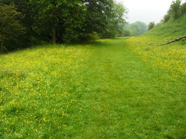
The route passes through a variety of landscapes including tidal marsh, open moorland and limestone gorges. It begins to the south of the Ribble estuary, the route then runs through Preston and on to the historic town of Clitheroe. Next it heads up into the Pennines to reach its source on remote Cam Fell.
History
The idea of opening a walk along the Ribble called the Ribble Way was first suggested back in 1967 at the inaugural meeting of the Preston and Fylde branch of the Ramblers' Association. The Guardian reported in 1972 that the Ramblers Association were planning Britain's first riverside long footpath called the Ribble Way. At that time, the route being discussed was 103 km from the estuary of the River Ribble at Walmer Bridge close to Preston to its source near the farmhouse of Far Gearstones in the West Riding of Yorkshire fells; just 45 km of the planned route was designated right-of-way. The idea eventually attracted official support and was opened in 1985. The Ribble Valley is an area of 632 km2 of natural beauty from the north-west coast to the Lake District. The official course of the Ribble Way that is marked on the Ordnance Survey (2010) OS Openspace maps starts at Longton, the mouth of the river just west of Preston, 5 m above mean sea level and finishes at Grove Head, just north of Cam Fell, 558 m above mean sea level. Grove Head is actually the source of the Gayle Beck, which feeds into the River Ribble near Ribblehead. (Ribblehead is the area of moorland at the head of the River Ribble in the area known as Ribblesdale.)
Route

The official start of the Ribble Way is the Dolphin Inn on Marsh Lane in Longton.
The Ribble Way connects with several other long-distance walks, including the Dales Way, the Pennine Way, the Pennine Bridleway and the Round Preston Walk.
Settlements
- Longton
- Preston
- Frenchwood
- Ribchester
- Little Town
- Winckley Hall
- Clitheroe
- Horrocksford
- Paythorne
- Rathmell
- Giggleswick
- Stainforth
- Horton in Ribblesdale
- Chapel-le-Dale
After which the route joins the Dales Way
References
References
- Morris, Michael. (6 October 1972). "Ribble Way planned". The Guardian.
- Purcell, Steve. (12 February 2005). "Ribble rouser; Steve Purcell goes back to his Lancashire roots". The Mirror.
- "OS Openspace (Online)". Ordnance Survey.
- "Ribble Way". Ramblers.
This article was imported from Wikipedia and is available under the Creative Commons Attribution-ShareAlike 4.0 License. Content has been adapted to SurfDoc format. Original contributors can be found on the article history page.
Ask Mako anything about Ribble Way — get instant answers, deeper analysis, and related topics.
Research with MakoFree with your Surf account
Create a free account to save articles, ask Mako questions, and organize your research.
Sign up freeThis content may have been generated or modified by AI. CloudSurf Software LLC is not responsible for the accuracy, completeness, or reliability of AI-generated content. Always verify important information from primary sources.
Report