From Surf Wiki (app.surf) — the open knowledge base
Rann of Kutch
Large area of salt desert in India and Pakistan

Large area of salt desert in India and Pakistan
| Field | Value |
|---|---|
| name | Rann of Kutch |
| image | Rann of Kutch - White Desert.jpg |
| map_caption | Location of the Rann of Kutch |
| biogeographic_realm | Indomalayan |
| biome | flooded grasslands and savannas |
| border | Indus River Delta-Arabian Sea mangroves |
| border1 | Northwestern thorn scrub forests, |
| border2 | Thar Desert |
| area | 27454 |
| country | India |
| country1 | Pakistan |
| state | Gujarat |
| state1 | Sindh |
| region_type | States (India), Provinces (Pakistan) |
| conservation | Relatively stable/intact |
| protected | 20,946 km2 (76 |
| protected_ref | ) |
The Rann of Kutch () is a large area of salt marshes located in the northwestern part of the Indian subcontinent, and spans the border between India and Pakistan. Most of the region is located in the Kutch district of the Indian state of Gujarat, with a minor portion extending into the Sindh province of Pakistan. It is further sub-divided geographically into the Great Rann and Little Rann.
The region used to be part of low lying peneplain submerged under the Arabian Sea, and when the waters receded, it left behind the salt marshes, which formed the Rann of Kutch. The Luni River flowed into the Rann of Kutch, however when the hydrography changed when the Rann dried up, the Luni ended up as an inland river flowing into the Thar desert to the north.
Geography
The Rann of Kutch spans 27,454 km2 and is located mostly in the Kutch district of the Indian state of Gujarat with a portion extending into the Pakistani province of Sindh. The word Rann or Rinn means "desert" in Sindhi and Gujarati. It is further subdivided into the Great Rann of Kutch, the larger portion of the Rann, which has the Thar Desert to the north, the low hills of Kutch to the south, and the Indus River Delta to the west. The Little Rann of Kutch lies southeast of the Great Rann, and extends southwards to the Gulf of Kutch.
The surface is generally flat and very close to sea level, and most of the Rann floods annually during the monsoon season. There are areas of sandy higher ground, known as bets or sds, which lie two to three metres above flood level. Trees and shrubs grow on the bets, and they provide refuges for wildlife during the annual floods. Kori Creek and Sir Creek are tidal creeks, which are part of the Indus delta, are located at the western end of the Great Rann.
Climate
The climate of the ecoregion is tropical savanna/semi-arid. Temperatures average 44 C during the hot summer months, and can reach highs of 50 C. During winter the temperature can drop to or below 44 C. Rainfall is highly seasonal. The region is dry for most of the year, and rainfall is concentrated in the southwest monsoon season of June to September. During the monsoon season, local rainfall and river runoff flood much of the Rann to a depth of 50 cm. The waters evaporate during the long dry season, leaving the Rann dry again by the start of the next monsoon season.
Ecology

The Rann of Kutch is the only large flooded grasslands zone in the Indomalayan realm. Its grassland and deserts are home to forms of wildlife that have adapted to its often harsh conditions. These include endemic and endangered animal and plant species.
The predominant vegetation in the Rann of Kutch is grassland and thorn scrub. Common grass species include Apluda aristata, Cenchrus spp., Pennisetum spp., Cymbopogon spp., Eragrostis spp., and Elionurus spp. Trees are rare except on the bets which rise above the flood zone. The non-native tree Prosopis juliflora has become established on the bets, and its seed pods provide year-round food for the wild asses.

The Rann of Kutch is home to about 50 species of mammals. They include several large herbivores, including Indian wild ass (Equus hemionus khur), chinkara (Gazella bennettii), nilgai (Boselaphus tragocamelus), and blackbuck (Antilope cervicapra), and large predators like Indian wolf (Canis lupus), striped hyena (Hyaena hyaena), desert wildcat (Felis lybica), and caracal (Felis caracal). The Indian wild ass once had a wider distribution but is now limited to the Rann of Kutch. The nilgai and blackbuck are threatened species.
There are over 200 bird species in the Rann of Kutch, including the threatened species lesser florican (Sypheotides indicus) and houbara bustard (Chlamydotis undulata). The seasonal wetlands provide habitat for many water birds, including the demoiselle crane (Grus virgo) and lesser flamingo (Phoeniconaias minor).
History and culture
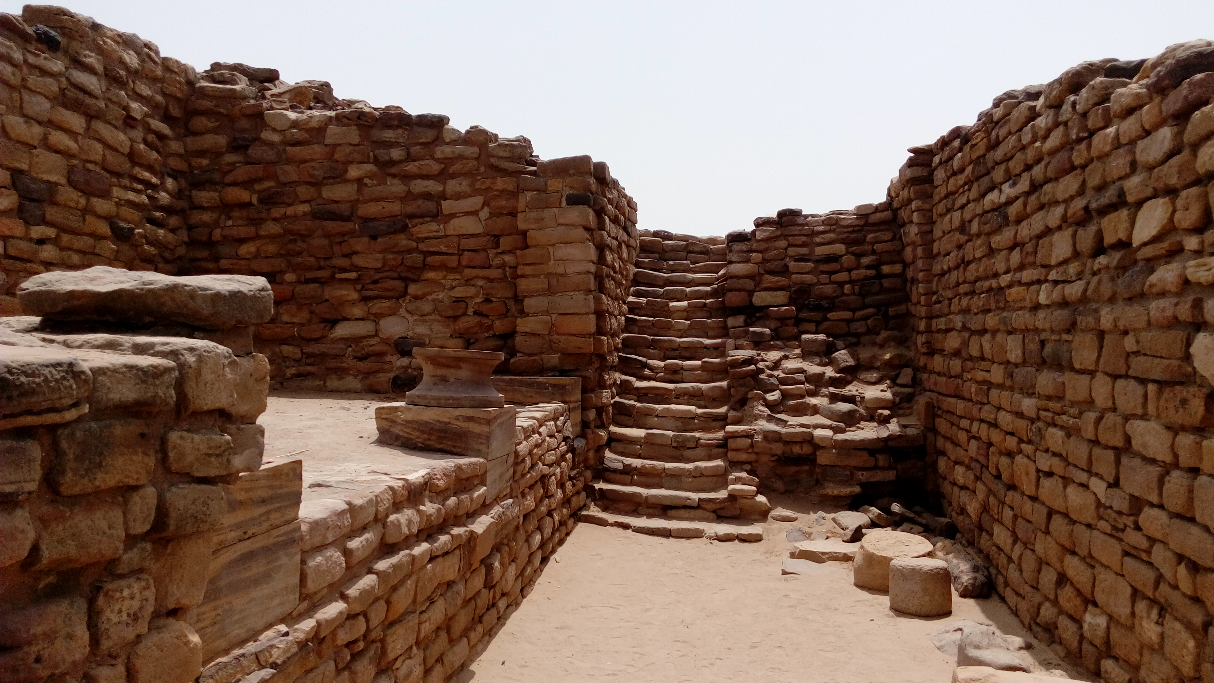
The history of the Rann of Kutch began with early Neolithic settlements. The people of the Indus Civilization appear to have settled in the Rann of Kutch around 3500 BCE. The Indus city of Dholavira, the largest Indus site in India, is located in the Rann of Kutch. This city was built on the Tropic of Cancer, possibly indicating that Dholavira's inhabitants were skilled in astronomy. The Rann of Kutch also contained the industrial site of Khirasara, where a warehouse was found. Indologists hold a view that the Rann of Kutch was, rather than the salt marsh that it is today, a navigable archipelago at the time of the Indus Civilization. The Indus Civilization was known to have an extensive maritime trade system, so there were perhaps ports in the Rann of Kutch. The Rann of Kutch was later part of both the Maurya and Gupta empires.
During the British Raj in the early 20th century, a ban on salt harvesting resulted in a protest march by Mahatma Gandhi. The Rann Utsav festival, a three-month long carnival, commemorates the local art forms.
Conservation and protected areas
As per a 2017 report, about 20,946 km2, of the ecoregion is designated as protected area. Pakistan's Rann of Kutch Wildlife Sanctuary covers the northern portion of the Great Rann and adjacent Thar Desert.
References
References
- Eric Dinerstein, David Olson, et al. (2017). An Ecoregion-Based Approach to Protecting Half the Terrestrial Realm, BioScience, Volume 67, Issue 6, June 2017, Pages 534–545; Supplemental material 2 table S1b [https://doi.org/10.1093/biosci/bix014]
- "Rivers of Gujarat in Kutch region". [[Government of Gujarat]].
- Sharma, R.P.. (10 Nov 2011). "The Indian forester, Volume 127, Issues 7-12". University of Minnesota.
- {{WWF ecoregion
- (2020). "Did the Harappan settlement of Dholavira (India) collapse during the onset of Meghalayan stage drought?". Journal of Quaternary Science.
- (15 July 2017). "Ruins on the Tropic of Cancer".
- (6 August 2013). "Excavations reveal Khirsara a major industrial hub of Harappan era".
- (September 2013). "Was the Rann of Kachchh (Kutch) navigable during the Harappan times (Mid-Holocene)? An archaeological perspective". [[Current Science]].
- (August 2025). "The Mauryan Empire of Ancient India". Time Maps }}{{Dead link.
- "Gupta Empire". [[World History Encyclopedia]].
- (1996). "Selected Political Writings".
- "Immerse yourself in Gujarat's Rann Utsav". Femina.
- (2020). "Protected Area Profile for India from the World Database of Protected Areas,". UNEP-WCMC.
- "Runn of Kutch". [[Ramsar Convention.
This article was imported from Wikipedia and is available under the Creative Commons Attribution-ShareAlike 4.0 License. Content has been adapted to SurfDoc format. Original contributors can be found on the article history page.
Ask Mako anything about Rann of Kutch — get instant answers, deeper analysis, and related topics.
Research with MakoFree with your Surf account
Create a free account to save articles, ask Mako questions, and organize your research.
Sign up freeThis content may have been generated or modified by AI. CloudSurf Software LLC is not responsible for the accuracy, completeness, or reliability of AI-generated content. Always verify important information from primary sources.
Report