From Surf Wiki (app.surf) — the open knowledge base
Randsfjorden
Lake in Innlandet, Norway
Lake in Innlandet, Norway
| Field | Value |
|---|---|
| name | Randsfjorden |
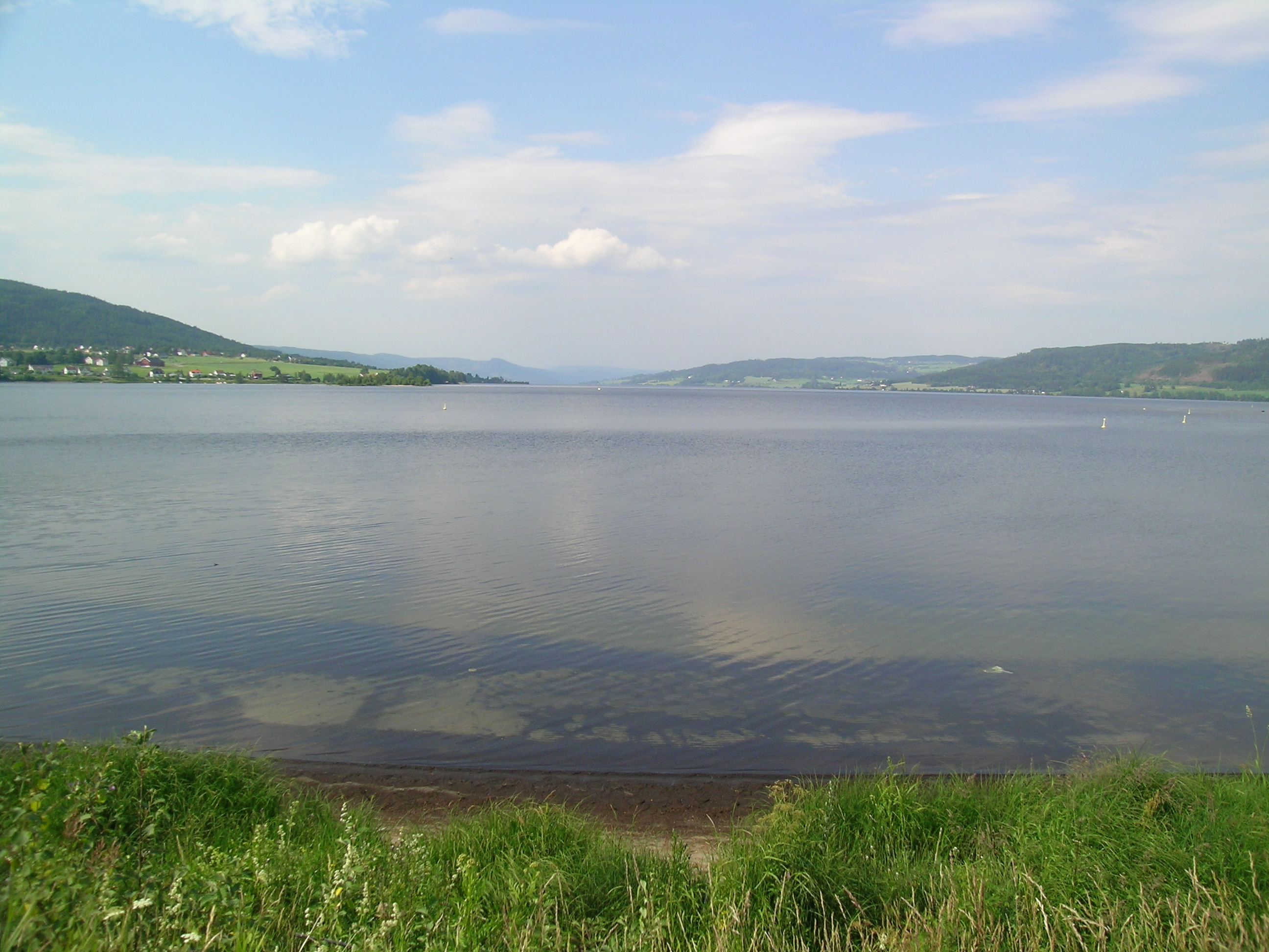
| image | Grimsrud, Randsfjorden.jpg |
| caption | Looking south from Grimsrud |
| mapframe | yes |
| mapframe-zoom | 7 |
| mapframe-caption | Interactive map of the lake |
| coordinates | |
| location | Innlandet and Akershus |
| type | glacial fjord lake |
| inflow | Dokka and Etna |
| outflow | Randselva |
| catchment | 3701.54 km2 |
| basin_countries | Norway |
| length | 74.5 km |
| width | 4 km |
| area | 140.69 km2 |
| depth | 47 m |
| max-depth | 131 m |
| volume | 6.612 km3 |
| shore | 203 km |
| elevation | 135 m |
| reference | NVE |
| mapframe-zoom = 7 | mapframe-caption = Interactive map of the lake |date-built = |date-flooded = |max-depth = 131 m
Randsfjorden is Norway's fourth-largest lake with an area of 140.7 km2. Its volume is estimated at just over 6.6 km3, and its greatest depth is 131 m. The lake is located at an elevation of 135 m above sea level. It is located in Innlandet and Akershus counties in the municipalities of Gran, Jevnaker, Nordre Land, and Søndre Land in the traditional districts of Land and Hadeland. It is drained by the Randselva river.
History

In Heimskringla, Snorri Sturluson recorded that Halfdan the Black (Halvdan Svarte), father of Harald Hårfagre, the first King of Norway, journeyed over the lake while returning home from a visit to Hadeland. Traveling with a horse and sleigh while the lake was supposedly frozen, he fell through the ice and drowned.
In modern times, many golf courses have been set up on the edge of the lake. The Tangen–Horn ferry runs between Horn on the east bank and Tangen on the west, which is Norway's last remaining and regularly operating car ferry connection on an inland lake. The sightseeing boat MS Kong Haud sails on the Randsfjorden from Jevnaker to Odnes.
Name
The Old Norse form of the name was just Rǫnd, derived from the word which means "stripe" or "edge" (referring to the long and narrow form of the lake). The last element (the finite form of fjord) is a later addition to the name that was first recorded in 1691. Although the term "fjord" usually describes a saltwater inlet that is connected to the ocean, the Randsfjorden is actually a freshwater lake with a narrow shape, approximately aligned on a north–south axis.
References
References
- "Innsjødatabase".
- "Informasjon om stadnamn". [[Norwegian Mapping Authority.
- {{Cite SNL. Randsfjorden. Randsfjorden. 2025-09-05. Thorsnæs. Geir. 2024-11-26
- {{Cite SNL. Halvdan_Svarte_-_norsk_småkonge. Halvdan Svarte (norsk småkonge). 2025-09-05. Krag. Claus. 2024-11-15
- "MS Kong Haud". hadeland.no.
- "Randsfjorden". Innovation Norway.
This article was imported from Wikipedia and is available under the Creative Commons Attribution-ShareAlike 4.0 License. Content has been adapted to SurfDoc format. Original contributors can be found on the article history page.
Ask Mako anything about Randsfjorden — get instant answers, deeper analysis, and related topics.
Research with MakoFree with your Surf account
Create a free account to save articles, ask Mako questions, and organize your research.
Sign up freeThis content may have been generated or modified by AI. CloudSurf Software LLC is not responsible for the accuracy, completeness, or reliability of AI-generated content. Always verify important information from primary sources.
Report