From Surf Wiki (app.surf) — the open knowledge base
Quincy, California

| Field | Value |
|---|---|
| official_name | Quincy |
| area_footnotes | |
| area_total_km2 | 10.94 |
| area_land_km2 | 10.94 |
| area_water_km2 | 0 |
| area_total_sq_mi | 4.224 |
| area_land_sq_mi | 4.224 |
| area_water_sq_mi | 0 |
| area_water_percent | 0 |
| elevation_footnotes | |
| elevation_ft | 3432 |
| elevation_m | 1046 |
| population_as_of | 2020 |
| population_footnotes | |
| population_total | 1630 |
| population_density_sq_mi | auto |
| population_density_km2 | auto |
| timezone | Pacific (PST) |
| utc_offset | -8 |
| coordinates | |
| timezone_DST | PDT |
| utc_offset_DST | -7 |
| postal_code_type | ZIP code |
| postal_code | 95971 |
| area_codes | 530, 837 Exchange: 283 |
| blank_name | FIPS code |
| blank_info | |
| blank1_name | GNIS feature ID |
| blank1_info | |
| settlement_type | Unincorporated Community |
| Census Designated Place | |
| subdivision_type | Country |
| motto | "Heart of the Feather River Country" |
| image_skyline | Quincy, California from Q on mountain..JPG |
| image_map | Plumas County California Incorporated and Unincorporated areas Quincy Highlighted 0659080.svg |
| mapsize | 250x200px |
| map_caption | Location in Plumas County and the state of California |
| pushpin_map | USA |
| pushpin_map_caption | Location in the United States |
| subdivision_name | |
| unit_pref | US |
| subdivision_type1 | State |
| subdivision_name1 | California |
| subdivision_type2 | County |
| subdivision_name2 | Plumas |
| established_title | |
| established_title2 | |
| established_title3 | |
| established_date3 | |
| website | Quincy California Chamber of Commerce |
Census Designated Place Quincy (formerly Quinsy) is a census-designated place in and the county seat of Plumas County, California. The population was 1,630 during the 2020 Census, down from 1,728 during the 2010 Census, and 1,879 during the 2000 Census.
History
Before the settlers arrived in the area during the 1850s, it was inhabited by the Maidu tribe because of the American Valley's source of water, fertile soil and favorable weather conditions. Quincy started as a Gold Rush town, associated with the former Elizabethtown, California. Starting in 1852, Elizabethtown slowly faded.
Development moved a mile away into the American Valley after settler James H. Bradley, who helped organize Plumas County, donated land there for the county seat. He laid out the town and named it after his farm in Illinois
The Quincy post office opened in 1855, and the town was formally recognized in 1858.
Geography and climate
Quincy is located at (39.936279, −120.947921).
According to the United States Census Bureau, the CDP has a total area of 4.2 sqmi, all of it is land.
Quincy is underlain by metasedimentary rock of the Shoo Fly Complex. Its dominant silica-rich clastic material weathers to a stony coarse soil which includes the well or somewhat excessively drained alluvial fan material (mainly Forgay very gravelly sandy loam) on which most of Quincy's businesses and homes have been built. Cultivated land north of the residential area lies on poorly drained loam, silt loam or fine sandy loam.
Quincy has a Mediterranean climate (Köppen Csb) though its inland location and altitude makes it more continental and wetter than usual for this type, with very heavy snowfalls sometimes occurring in winter – the record being 133 in in the very wet January 1916. Although summer days are hot and only 1.4 days per winter fail to top 32 F, nights can be very cold and frosts occur on 179 days per year and have been recorded even in July. |Jan record high F = 74 |Feb record high F = 80 |Mar record high F = 85 |Apr record high F = 89 |May record high F = 100 |Jun record high F = 105 |Jul record high F = 111 |Aug record high F = 111 |Sep record high F = 110 |Oct record high F = 98 |Nov record high F = 86 |Dec record high F = 76 |year record high F = 111 |Jan avg record high F = 57.6 |Feb avg record high F = 64.4 |Mar avg record high F = 73.4 |Apr avg record high F = 81.1 |May avg record high F = 89.2 |Jun avg record high F = 96.0 |Jul avg record high F = 100.7 |Aug avg record high F = 100.2 |Sep avg record high F = 95.3 |Oct avg record high F = 85.4 |Nov avg record high F = 68.3 |Dec avg record high F = 56.3 |year avg record high F = 102.6 |Jan avg record low F = 14.7 |Feb avg record low F = 17.0 |Mar avg record low F = 20.7 |Apr avg record low F = 24.1 |May avg record low F = 29.7 |Jun avg record low F = 34.7 |Jul avg record low F = 40.4 |Aug avg record low F = 37.9 |Sep avg record low F = 32.0 |Oct avg record low F = 24.0 |Nov avg record low F = 17.7 |Dec avg record low F = 13.7 |year avg record low F = 9.8 |Jan record low F = -24 |Feb record low F = -16 |Mar record low F = 0 |Apr record low F = 12 |May record low F = 20 |Jun record low F = 25 |Jul record low F = 23 |Aug record low F = 20 |Sep record low F = 15 |Oct record low F = 10 |Nov record low F = -3 |Dec record low F = -24 |year record low F = -24
|access-date = May 23, 2023 |access-date = May 23, 2023
Demographics
|align-fn=center 1860–1870 1880-1890 1900 1910 1920 1930 1940 1950 1960 1970 1980 1990 2000 2010
Quincy first appeared as a census designated place in the 2000 U.S. census created from part of deleted Quincy-East Quincy CDP.
2020
| Race / Ethnicity (NH = Non-Hispanic) | title=P004: Hispanic or Latino, and Not Hispanic or Latino by Race – 2000: DEC Summary File 1 – Quincy CDP, California | url=https://data.census.gov/table?g=160XX00US0659080&tid=DECENNIALSF12000.P004 | website=United States Census Bureau | access-date= }} | title=P2: Hispanic or Latino, and Not Hispanic or Latino by Race – 2010: DEC Redistricting Data (PL 94-171) – Quincy CDP, California | url=https://data.census.gov/cedsci/table?q=p2&g=160XX00US0659080&tid=DECENNIALPL2010.P2 | website=United States Census Bureau | access-date= }} | Pop 2020 | % 2000 | % 2010 | % 2020 |
|---|---|---|---|---|---|---|---|---|---|---|---|---|
| White alone (NH) | 1,665 | 1,441 | 1,335 | 88.61% | 83.39% | 81.90% | ||||||
| Black or African American alone (NH) | 29 | 35 | 24 | 1.54% | 2.03% | 1.47% | ||||||
| Native American or Alaska Native alone (NH) | 35 | 25 | 15 | 1.86% | 1.45% | 0.92% | ||||||
| Asian alone (NH) | 14 | 19 | 14 | 0.75% | 1.10% | 0.86% | ||||||
| Native Hawaiian or Pacific Islander alone (NH) | 2 | 2 | 0 | 0.11% | 0.12% | 0.00% | ||||||
| Other race alone (NH) | 6 | 6 | 21 | 0.32% | 0.35% | 1.29% | ||||||
| Mixed race or Multiracial (NH) | 38 | 68 | 104 | 2.02% | 3.94% | 6.38% | ||||||
| Hispanic or Latino (any race) | 90 | 132 | 117 | 4.79% | 7.64% | 7.18% | ||||||
| Total | 1,879 | 1,728 | 1,630 | 100.00% | 100.00% | 100.00% |
The 2020 United States census reported that Quincy had a population of 1,630. The population density was 385.9 PD/sqmi. The racial makeup of Quincy was 1,382 (84.8%) White, 25 (1.5%) African American, 18 (1.1%) Native American, 14 (0.9%) Asian, 1 (0.1%) Pacific Islander, 46 (2.8%) from other races, and 144 (8.8%) from two or more races. Hispanic or Latino of any race were 117 persons (7.2%).
The census reported that 1,571 people (96.4% of the population) lived in households, 25 (1.5%) lived in non-institutionalized group quarters, and 34 (2.1%) were institutionalized.
There were 761 households, out of which 174 (22.9%) had children under the age of 18 living in them, 254 (33.4%) were married-couple households, 55 (7.2%) were cohabiting couple households, 257 (33.8%) had a female householder with no partner present, and 195 (25.6%) had a male householder with no partner present. 330 households (43.4%) were one person, and 135 (17.7%) were one person aged 65 or older. The average household size was 2.06.
The age distribution was 330 people (20.2%) under the age of 18, 123 people (7.5%) aged 18 to 24, 410 people (25.2%) aged 25 to 44, 386 people (23.7%) aged 45 to 64, and 381 people (23.4%) who were 65years of age or older. The median age was 42.5years.. For every 100 females, there were 88.9 males.
There were 874 housing units at an average density of 206.9 /mi2, of which 761 (87.1%) were occupied. Of these, 375 (49.3%) were owner-occupied, and 386 (50.7%) were occupied by renters.
In 2023, the US Census Bureau estimated that the median household income was $87,008, and the per capita income was $47,184. About 0.0% of families and 12.1% of the population were below the poverty line.
2010
At the 2010 census Quincy had a population of 1,728. The population density was 407.6 PD/sqmi. The racial makeup of Quincy was 1,500 (86.8%) White, 132 (7.6%) Hispanic or Latino of any race, 37 (2.1%) Black, 29 (1.7%) Native American, 19 (1.1%) Asian, 2 (0.1%) Pacific Islander, 66 (3.8%) from other races, and 75 (4.3%) from two or more races.
The census reported that 1,673 people (96.8% of the population) lived in households, no one lived in non-institutionalized group quarters and 55 (3.2%) were institutionalized.
There were 798 households, 183 (22.9%) had children under the age of 18 living in them, 300 (37.6%) were opposite-sex married couples living together, 85 (10.7%) had a female householder with no husband present, 28 (3.5%) had a male householder with no wife present. There were 63 (7.9%) unmarried opposite-sex partnerships, and 5 (0.6%) same-sex married couples or partnerships. 314 households (39.3%) were one person and 93 (11.7%) had someone living alone who was 65 or older. The average household size was 2.10. There were 413 families (51.8% of households); the average family size was 2.77.
The age distribution was 341 people (19.7%) under the age of 18, 163 people (9.4%) aged 18 to 24, 350 people (20.3%) aged 25 to 44, 556 people (32.2%) aged 45 to 64, and 318 people (18.4%) who were 65 or older. The median age was 45.5 years. For every 100 females, there were 84.2 males. For every 100 females age 18 and over, there were 81.1 males.
There were 872 housing units at an average density of 205.7 per square mile, of the occupied units 388 (48.6%) were owner-occupied and 410 (51.4%) were rented. The homeowner vacancy rate was 2.7%; the rental vacancy rate was 5.5%. 872 people (50.5% of the population) lived in owner-occupied housing units and 801 people (46.4%) lived in rental housing units.
Education
Quincy is in the Plumas Unified School District. Quincy's students attend the Quincy Elementary School and Quincy Junior-Senior High School. The 'Trojans' are the mascot for the Quincy Junior-Senior High School.
Quincy is also home to Feather River College, a public community college.
Government
In the California State Legislature, Quincy is in , and in . Federally, Quincy is in .
Notable people
• The article must mention how they are associated with the community, whether born, raised, or residing. • The fact of their association should have a reliable source cited. • Alphabetical by last name please • All others will be deleted without further explanation END OF NOTICE * * * * * * * * * * * * END OF NOTICE * * * * * * * * * * * *END OF NOTICE --
- Cody Anderson, MLB pitcher for the Cleveland Indians
- Craig Brandt, member of the New Mexico Senate
- Louise Clappe, known as Dame Shirley; diarist who settled in Quincy during the Gold Rush; the town square is named for her
- Jason Ellison, former MLB outfielder
- Claire Cayot O'Rourke, supercentenarian and the first woman to hold public office in the state of California
- Ulysses S. Webb, 19th Attorney General of California
Historical Landmarks
- Quincy Pioneer Grave
- American Ranch and Hotel
- Elizabethtown
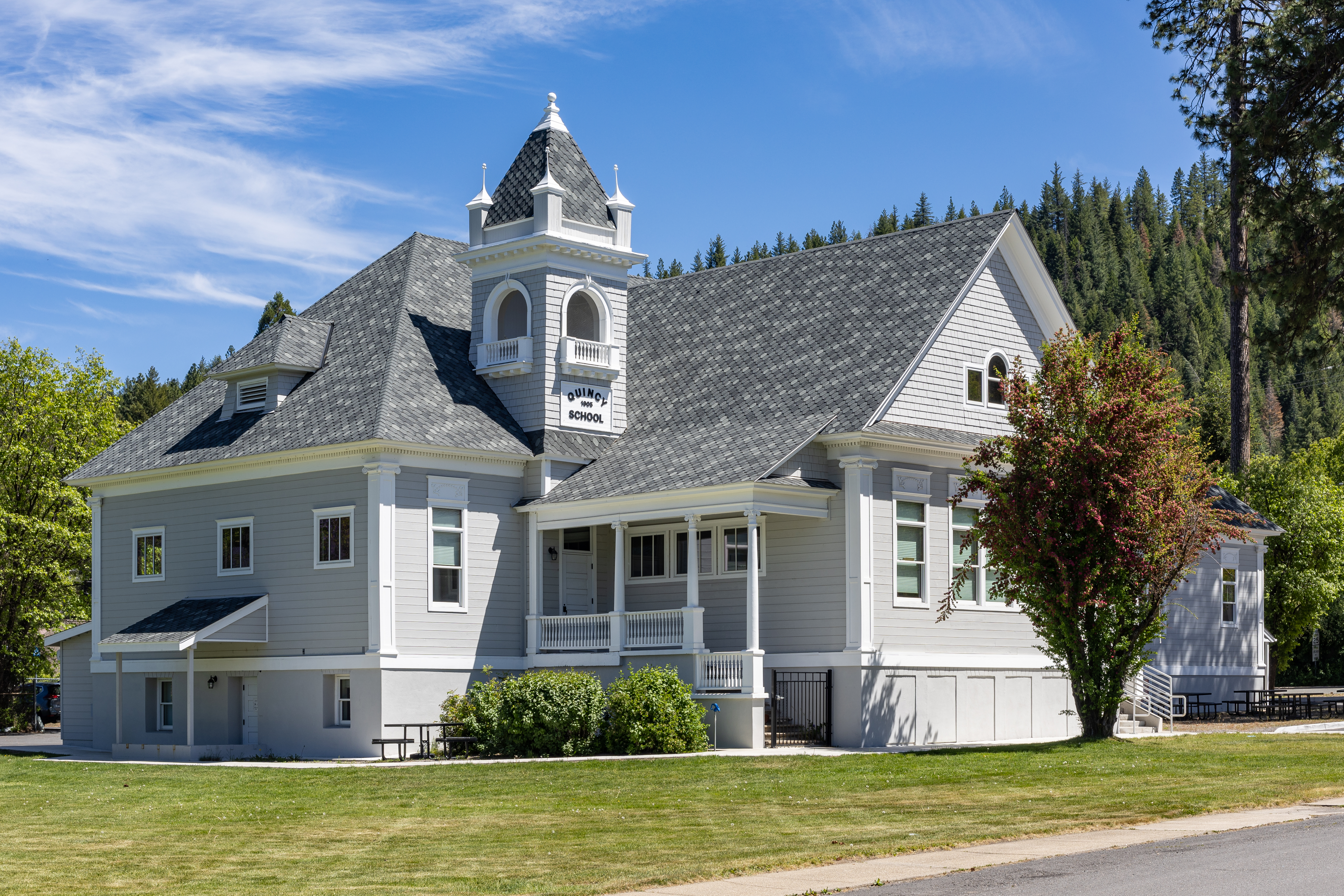
- Pioneer Schoolhouse
- Plumas House
- Rich Bar
- Plumas County Museum
References
References
- "2020 U.S. Gazetteer Files". United States Census Bureau.
- {{Cite GNIS. 265113. Quincy
- "Quincy CDP, California". [[United States Census Bureau]].
- "Quincy California Chamber of Commerce". Quincy California Chamber of Commerce.
- {{California's Geographic Names. 410
- "Profile for Quincy, California, CA". Podunk.
- "Explore Census Data".
- "U.S. Census website". United States Census Bureau.
- "History of Quincy".
- (2006). "Quincy, California Epodunk Database".
- (2011-02-12). "US Gazetteer files: 2010, 2000, and 1990". [[United States Census Bureau]].
- Saucedo, G.J., and Wagner, D.L., 1992, Geologic map of the Chico quadrangle: California Division of Mines and Geology, Regional Geologic Map 7A
- "SoilWeb: An Online Soil Survey Browser - California Soil Resource Lab".
- "QUINCY, CALIFORNIA - Climate Summary".
- Enloe. "Climatological Rankings - Temperature, Precipitation, and Drought - National Centers for Environmental Information (NCEI)".
- "Decennial Census by Decade".
- "1870 Census of Population - Population of Civil Divisions less than Counties - California - Almeda County to Sutter County".
- "1870 Census of Population - Population of Civil Divisions less than Counties - California - Tehama County to Yuba County".
- "1890 Census of Population - Population of California by Minor Civil Divisions".
- "1900 Census of Population - Population of California by Counties and Minor Civil Divisions".
- "1910 Census of Population - Supplement for California".
- "1920 Census of Population - Number of Inhabitants - California".
- "1930 Census of Population - Number and Distribution of Inhabitants - California".
- "1940 Census of Population - Number of Inhabitants - California".
- "1950 Census of Population - Number of Inhabitants - California".
- "1960 Census of Population - General population Characteristics - California".
- "1970 Census of Population - Number of Inhabitants - California".
- "1980 Census of Population - Number of Inhabitants - California".
- "1990 Census of Population - Population and Housing Unit Counts - California".
- "2000 Census of Population - Population and Housing Unit Counts - California".
- "2010 Census of Population - Population and Housing Unit Counts - California".
- "P004: Hispanic or Latino, and Not Hispanic or Latino by Race – 2000: DEC Summary File 1 – Quincy CDP, California".
- "P2: Hispanic or Latino, and Not Hispanic or Latino by Race – 2010: DEC Redistricting Data (PL 94-171) – Quincy CDP, California".
- "P2: Hispanic or Latino, and Not Hispanic or Latino by Race – 2020: DEC Redistricting Data (PL 94-171) – Quincy CDP, California".
- "Quincy CDP, California; DP1: Profile of General Population and Housing Characteristics - 2020 Census of Population and Housing".
- "Quincy CDP, California; P16: Household Type - 2020 Census of Population and Housing".
- "Quincy CDP, California; DP03: Selected Economic Characteristics - 2023 ACS 5-Year Estimates Comparison Profiles".
- "2010 Census Interactive Population Search: CA – Quincy CDP". U.S. Census Bureau.
- Geography Division. (December 18, 2020). "2020 CENSUS - SCHOOL DISTRICT REFERENCE MAP: Plumas County, CA". [[U.S. Census Bureau]].
- (July 2025). "Plumas County Office of Education".
- "Feather River College".
- "Final Maps {{!}} California Citizens Redistricting Commission".
- {{Cite GovTrack. CA. 3
- (1971). "Fariss and Smith's History of Plumas, Lassen & Sierra Counties, California, 1882". Howell-North Books.
- "Jason Ellison". Baseball-Reference.Com.
- link. (2007-11-13)
This article was imported from Wikipedia and is available under the Creative Commons Attribution-ShareAlike 4.0 License. Content has been adapted to SurfDoc format. Original contributors can be found on the article history page.
Ask Mako anything about Quincy, California — get instant answers, deeper analysis, and related topics.
Research with MakoFree with your Surf account
Create a free account to save articles, ask Mako questions, and organize your research.
Sign up freeThis content may have been generated or modified by AI. CloudSurf Software LLC is not responsible for the accuracy, completeness, or reliability of AI-generated content. Always verify important information from primary sources.
Report