From Surf Wiki (app.surf) — the open knowledge base
Qalansawe
Arab city in Israel
Arab city in Israel
| Field | Value | |||
|---|---|---|---|---|
| name | Qalansawe | |||
| native_name | {{Hlist | |||
| rtl | yes}} | |||
| {{Lang | ar | قلنسوة | rtl | yes}} |
| settlement_type | City | |||
| translit_lang1 | Hebrew | |||
| translit_lang1_type1 | ISO 259 | |||
| translit_lang1_info1 | Qalansuwa | |||
| translit_lang1_type2 | Translit. | |||
| translit_lang1_info2 | Kalansuwa or Qalansuwa | |||
| translit_lang1_type3 | Also spelled | |||
| translit_lang1_info3 | Kalansoueh, Qalansuwa (unofficial) | |||
| image_skyline | Qalansuwa-541.jpg | |||
| image_blank_emblem | Qalansawe COA.png | |||
| blank_emblem_type | Emblem of Qalansawe | |||
| pushpin_map | Israel center ta#Israel | |||
| pushpin_label_position | left | |||
| coordinates | ||||
| grid_name | Grid position | |||
| grid_position | {{br separated entries | |||
| subdivision_type | Country | |||
| subdivision_type2 | District | |||
| leader_title | Mayor | |||
| leader_name | Yossif Takrouri | |||
| unit_pref | dunam | |||
| area_total_dunam | ||||
| population_footnotes | ||||
| population_total | ||||
| population_as_of | ||||
| population_density_km2 | auto |
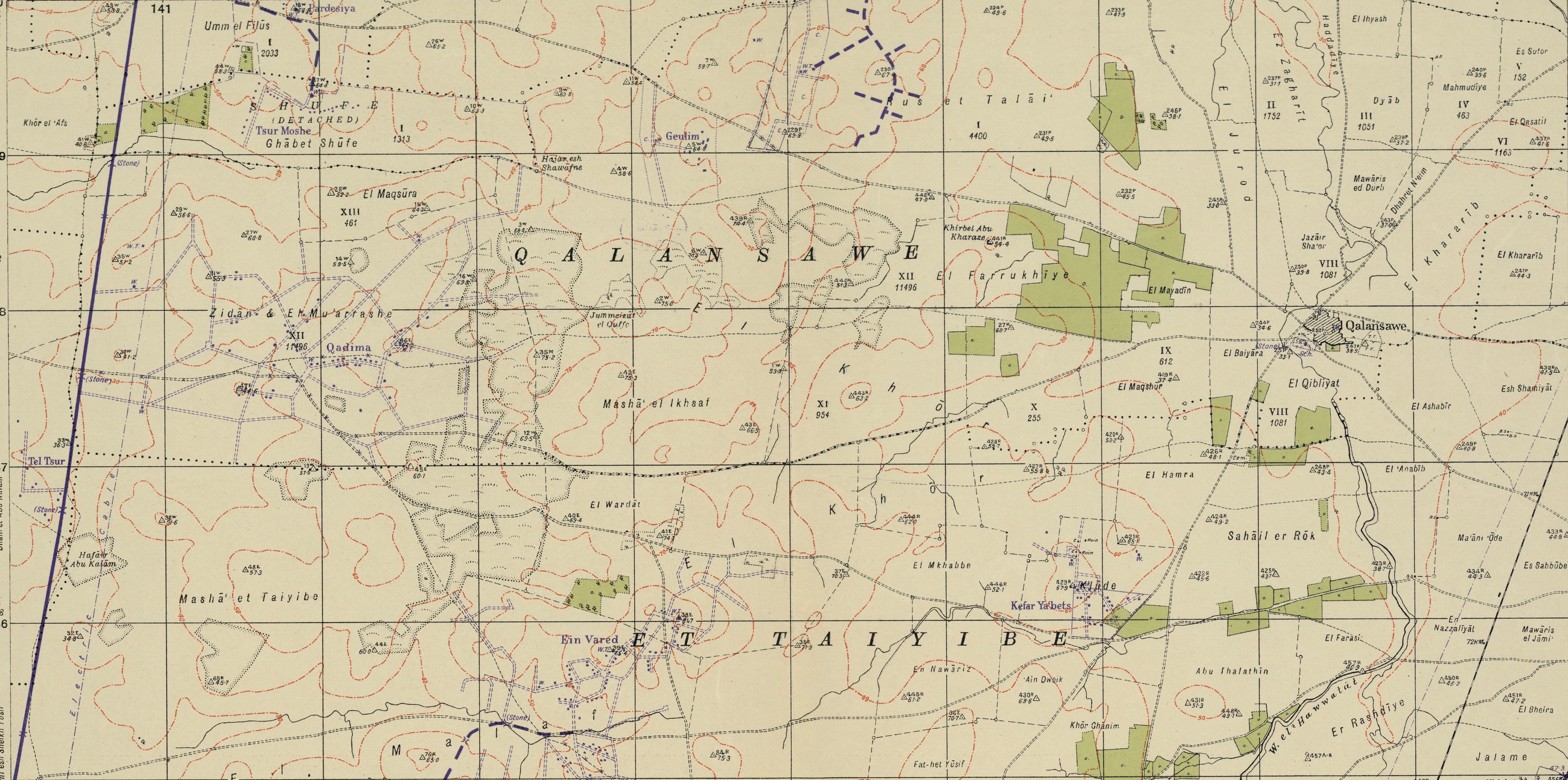
| {{Script/Hebrew|קלנסווה}} | قلنسوة | 198600/687800 ITM | 148/187 PAL Israel Central
Qalansawe or Qalansuwa (, , lit. "turban") is an Arab city in the Central District of Israel. Part of the Triangle, in it had a population of .
History
Early Muslim period
During the Abbasid Revolution in 750, which toppled the Umayyad Caliphate, numerous members of the Umayyad dynasty were deported to Qalansawe from Egypt for execution, including descendants of caliphs Umar II () and Sulayman ibn Abd al-Malik (). Yaqut, a 13th-century scholar, wrote that "many of the Omayyads were slain there." From the ninth century until the Crusader period, Qalansawe was a stop on the Cairo-Damascus road, between Lajjun and Ramla.
Crusader and Mamluk periods
During the Crusader period, the village was known as Calanson, Calansue, Calanzon or Kalensue. In 1128, it was given to the Hospitallers by the knight Godfrey of Flujeac. Yaqut (d. 1229) wrote that Qalansawe, Castle of the Plains, of the Crusaders, was a fortress near Ramle. Remnants of a crusader fortress remain today. It remained in Hospitallers hands (except for 1187–1191) until Baybars took it in 1265. However, during this period the lord of Caesarea appears to have retained overlordship.
In 1265, after the Mamluks had defeated the Crusaders, Qalansawe was mentioned among the estates which Sultan Baibars granted his followers. It was divided equally between two of his emirs: Izz al-Din Aidamur al-Halabi al-Salihi and Shams al-Din Sunqur al-Rumi al-Salihi.
Ottoman period
In 1517, the village was included in the Ottoman Empire with the rest of Palestine. In the 1596 tax-records it appeared located in the Nahiya of Bani Sa'b of the Liwa of Nablus. It had a population of 29 Muslim households. They paid a fixed tax-rate of 33.3% on agricultural products, including wheat, barley, summer crops, olives, goats or beehives, and a press for olives or grapes; a total of 11,342 akçe.
Pierre Jacotin called the village Qalensawi on his map from 1799.
19th-century explorers
In 1870, the French explorer Victor Guérin found it to have 500 inhabitants.
In the 1860s, the Ottoman authorities granted the village an agricultural plot of land called Ghabat Umm Ulayqa, or Ghabat Qalansuwa, in the former confines of the Forest of Arsur (Ar. Al-Ghaba) in the coastal plain, west of the village.
In 1882, the Palestine Exploration Fund's Survey of Western Palestine described it as being of moderate size, and the seat of a Caimacam. In the centre of the village was a Crusader tower and hall, surrounded by the village houses, mostly made of adobe. Wells and a spring to the west supplied water.
British Mandate
In the 1922 census of Palestine conducted by the British Mandate authorities, Qualansawe had a population of 871 Muslims, increasing in the 1931 census to 1069, still all Muslim, in a total of 225 houses.
By the 1945 statistics, the village had 1540 Muslim inhabitants, who owned a total of owned 17,249 dunams of land. 473 dunams were for citrus and bananas, 759 plantations and irrigable land, 15,936 for cereals, while 47 dunams were built-up (urban) land.

Israel
20th century
During the 1948 Palestine war, Jewish forces had planned to attack Qalansawe but the plan was not carried out. Qalansawe came under Israeli sovereignty in May 1949 as part of the Israel-Jordan armistice agreement. Political considerations then prevented the expulsion of the villagers.
In 1955 the village achieved local council status. In 1957 it was connected to running water. By 1962, land ownership had dropped to 6,620 dunams, mostly due to expropriation of land by the Israeli government in 1953–1954.
21st century
In 2000 Qalansawe was declared a city. In January 2017, the Israeli government demolished 11 buildings built by 4 families, on the grounds that they were built without permits. The families claimed they were given two days notice, which was insufficient for a legal response. Thousands of people rallied in support of the village and a one-day strike was called.
Demographics
In 2001, the ethnic makeup of the city was virtually all Arab Muslims without significant Jewish population. There were 7,700 males and 7,300 females. 53.2% of the residents were 19 years of age or younger, 17.1% were between 20 and 29, 17.9% between 30 and 44, 8.0% from 45 to 59, 1.6% from 60 to 64, and 2.2% 65 years of age or older. The population growth rate in 2001 was 3.5%.
References
Bibliography
- (pp. 199-201.)
- p. 19
- Hartmann, Richard (1910): Die Straße von Damaskus nach Kairo Zeitschrift der Deutschen Morgenländischen Gesellschaft › Bd. 64 (Cited in Petersen, 2001)
- (pp. 95, 97)
- (p. 161)
- (p. 47)
References
- Guerin, 1875, [https://archive.org/stream/descriptiongogr04gugoog#page/n375/mode/1up p. 350]
- "The turban tradition in Islam".
- Palmer, 1881, p.[https://archive.org/stream/surveyofwesternp00conduoft#page/187/mode/1up 187]
- Robinson 2010, p. 240.
- Cited in Le Strange, 1890, p.[https://archive.org/stream/palestineundermo00lestuoft#page/476/mode/1up 476]
- Petersen, 2001, pp. [https://www.academia.edu/21620056/Gazetteer_5_K-R 248-249] {{Webarchive. link. (2016-10-10 , citing among others Hartmann, 1910, [http://menadoc.bibliothek.uni-halle.de/dmg/periodical/pageview/56952 675], [http://menadoc.bibliothek.uni-halle.de/dmg/periodical/pageview/56953 676])
- Pringle, 1997, pp. [https://books.google.com/books?id=-_NbE5obqRMC&pg=PA77 77]–[https://books.google.com/books?id=-_NbE5obqRMC&pg=PA78 78]
- Röhricht, 1904, RRH Ad, pp.[https://archive.org/stream/registaregnihier00rhuoft#page/9/mode/1up 9]-10, No. 121a
- [[Ibn al-Furat]], 1971, pp. 8o, 210, 249 (map)
- Hütteroth and Abdulfattah, 1977, p. 139
- Karmon, 1960, p. [http://www.jchp.ucla.edu/Bibliography/Karmon,Y_1960_Jacotin_Map(IEJ_10).pdf 170] {{Webarchive. link. (2019-12-22 Note that Karmon gives the wrong grid-numbers for Qalansawe)
- He then examined the remains of a church facing east and west, and divided into three [[naves]], terminating to the east in three [[apse]]s. It was constructed of cut stones, some of them slightly embossed. The naves were separated one from the other by monolithic [[columns]] and probably crowned by [[Corinthian order. Corinthian]] [[Capital (architecture)#Classical capital. capitals]]. One of them, of white marble, was repurposed by a villager who took it from the site of the church. The rest of the capitals and shafts were missing. An elegant door with a pointed arch was still standing. Under the nave ran a [[vaulted]] crypt, now divided into several compartments, which served as a shelter for several families. Ancient walls were found near the church and below the village. One was surmounted by a vaulted [[Arcade (architecture). arcade]] in cut stones.Guérin, 1875, pp. [https://archive.org/stream/descriptiongogr04gugoog#page/n375/mode/1up 350]-352, [https://archive.org/stream/descriptiongogr04gugoog#page/n379/mode/1up 354] as translated in Conder and Kitchener, 1882, SWP II, pp. [https://archive.org/stream/surveyofwesternp02conduoft#page/201/mode/1up 201]
- Marom, Roy, "The Contribution of Conder's Tent Work in Palestine for the Understanding of Shifting Geographical, Social and Legal Realities in the Sharon during the Late Ottoman Period", in Gurevich D. and Kidron, A. (eds.), ''Exploring the Holy Land: 150 Years of the Palestine Exploration Fund'', Sheffield, UK, Equinox (2019), pp. 212-231
- Marom, Roy. (2022). "The Oak Forest of the Sharon (al-Ghaba) in the Ottoman Period: New Insights from Historical- Geographical Studies, Muse 5,".
- Conder and Kitchener, 1882, SWP II, p. [https://archive.org/stream/surveyofwesternp02conduoft#page/165/mode/1up 165]
- Barron, 1923, Table IX, Sub-district of Tulkarem, p. [https://archive.org/stream/PalestineCensus1922/Palestine%20Census%20%281922%29#page/n30/mode/1up 28]
- Mills, 1932, p. [https://archive.org/details/CensusOfPalestine1931.PopulationOfVillagesTownsAndAdministrativeAreas 56]
- Government of Palestine, Department of Statistics, 1945, p. [http://users.cecs.anu.edu.au/~bdm/yabber/census/VSpages/VS1945_p21.jpg 21]
- Government of Palestine, Department of Statistics. ''Village Statistics, April, 1945''. Quoted in Hadawi, 1970 p. [http://www.palestineremembered.com/download/VillageStatistics/Table%20I/Tulkarm/Page-076.jpg 76]
- Government of Palestine, Department of Statistics. ''Village Statistics, April, 1945.'' Quoted in Hadawi, 1970, p. [http://www.palestineremembered.com/download/VillageStatistics/Table%20II/Tulkarm/Page-127.jpg 127]
- Government of Palestine, Department of Statistics. ''Village Statistics, April, 1945.'' Quoted in Hadawi, 1970, p. [http://www.palestineremembered.com/download/VillageStatistics/Table%20III/Tulkarm/Page-177.jpg 177]
- Morris, 2004, p. [https://books.google.com/books?id=uM_kFX6edX8C&pg=PA302 302]
- [http://domino.un.org/unispal.nsf/9a798adbf322aff38525617b006d88d7/f03d55e48f77ab698525643b00608d34 UN Doc S/1302/Rev.1 of 3 April 1949] {{webarchive. link. (12 June 2012)
- Morris, 2004, p. [https://books.google.com/books?id=uM_kFX6edX8C&pg=PA531 531]
- S. Jiryis. (1976). "The land question in Israel". MERIP Reports.
- Jack Khoury. (Jan 10, 2017). "Israel Demolishes Buildings in Arab Town, Citing Lack of Permits". Haaretz.
- Jack Khoury. (Jan 13, 2017). "Thousands Rally in Israeli Arab Town After State Demolishes Homes". Haaretz.
- AFP. (January 11, 2017). "Israeli Arabs strike in protest at house demolitions". Al-Monitor.
This article was imported from Wikipedia and is available under the Creative Commons Attribution-ShareAlike 4.0 License. Content has been adapted to SurfDoc format. Original contributors can be found on the article history page.
Ask Mako anything about Qalansawe — get instant answers, deeper analysis, and related topics.
Research with MakoFree with your Surf account
Create a free account to save articles, ask Mako questions, and organize your research.
Sign up freeThis content may have been generated or modified by AI. CloudSurf Software LLC is not responsible for the accuracy, completeness, or reliability of AI-generated content. Always verify important information from primary sources.
Report