From Surf Wiki (app.surf) — the open knowledge base
Providence River
River in Rhode Island, United States
River in Rhode Island, United States
| Field | Value |
|---|---|
| name | Providence River |
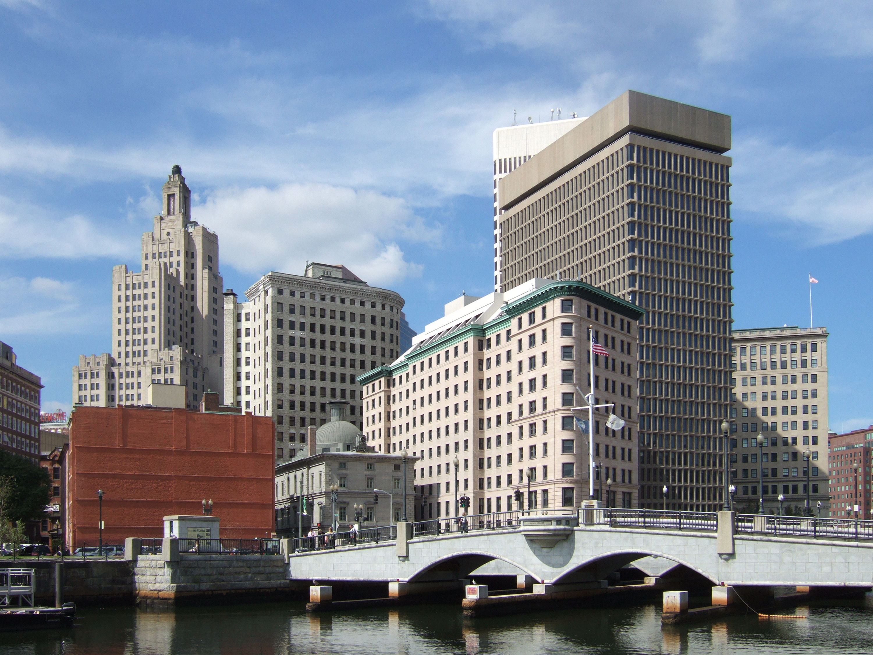
| image | Providence River from the Crawford Street Bridge.jpg |
| image_caption | The Providence River and Downtown Providence in April 2016 |
| source1_location | confluence of Woonasquatucket and Moshassuck rivers |
| source1_coordinates | |
| mouth_location | Narragansett Bay |
| mouth_coordinates | |
| subdivision_type1 | Country |
| subdivision_name1 | United States |
| subdivision_type2 | State |
| subdivision_name2 | Rhode Island |
| subdivision_type3 | County |
| subdivision_name3 | Providence |
| length_mi | 8 |
Please scroll down to edit the main content of the article. -- The Providence River is a tidal river in the U.S. state of Rhode Island. It flows approximately 8 miles (13 km). There are no dams along the river's length, although the Fox Point Hurricane Barrier is located south of downtown to protect the city of Providence from damaging tidal floods.
The southern part of the river has been dredged at a cost of $65 million in federal and state funds to benefit nearby marinas and commercial shipping interests.
The Dutch called the Providence River the Nassau River. It was the northeastern limit of Dutch claims in the colonial era, owing to Adriaen Block's exploration of Narragansett Bay, from 1614 until the Hartford Treaty of 1650. It can, therefore, be regarded as the original boundary between the English New England colonies and the Dutch colony of New Netherland.
Course
The river is formed by the confluence of the Woonasquatucket and Moshassuck rivers in downtown Providence. One half mile downstream, it is joined from the east by the Seekonk River and continues south. The cities of Providence, Cranston, and Warwick lie to the west of the river, while the city of East Providence and the town of Barrington lie to the east. At the narrows between Conimicut Point, in Warwick to the west and Nayatt Point in Barrington to the east, the Conimicut Shoal Lighthouse marks the entrance to the river from Narragansett Bay.
Recreation
Since the late 1990s, the Providence River has been known for gondola rides, which can be enjoyed by tourists and locals daily in season. Providence's three gondolas and one sandolo are hand made in Italy
Crossings

Below is a list of all crossings over the Providence River. The list starts at the headwaters and goes downstream.
- Providence
- Washington Place
- College Street
- Crawford Street
- Old Interstate 195
- Michael S. Van Leesten Memorial Bridge
- Point Street Bridge
- Fox Point Hurricane Barrier
- Providence River Bridge (I-195)
Tributaries

- Seekonk River
- Pawtuxet River
- Moshassuck River
- Woonasquatucket River
References
References
- "Providence River Dredging Project: Breaking the Impasse through Partnering". Coastal Resources Management Council.
- (20 August 2014). "Mark Patinkin: A touch of Venice in Providence on a gondola". The Providence Journal.
- (16 June 2019). "La Gondola in La Prov: Like Venice, but with fewer pigeons". Motif Magazine.
- (9 August 2019). "$21.9 million later, pedestrian bridge opens in downtown Providence". The Providence Journal.
This article was imported from Wikipedia and is available under the Creative Commons Attribution-ShareAlike 4.0 License. Content has been adapted to SurfDoc format. Original contributors can be found on the article history page.
Ask Mako anything about Providence River — get instant answers, deeper analysis, and related topics.
Research with MakoFree with your Surf account
Create a free account to save articles, ask Mako questions, and organize your research.
Sign up freeThis content may have been generated or modified by AI. CloudSurf Software LLC is not responsible for the accuracy, completeness, or reliability of AI-generated content. Always verify important information from primary sources.
Report