From Surf Wiki (app.surf) — the open knowledge base
Probolinggo Regency
Regency in East Java, Indonesia

Regency in East Java, Indonesia
| Field | Value | |
|---|---|---|
| name | Probolinggo Regency | |
| native_name | Kabupaten Probolinggo | |
| translit_lang1 | Other | |
| translit_lang1_type1 | Javanese | |
| translit_lang1_info1 | ꦏꦧꦸꦥꦠꦺꦤ꧀ꦥꦿꦧꦭꦶꦁꦒ | |
| image_skyline | [[File:Bromo yang menakjubkan.jpg | 290px]] |
| image_caption | Mount Bromo | |
| image_shield | Logo Kabupaten Probolinggo - Seal of Probolinggo Regency.svg | |
| settlement_type | Regency | |
| image_map | locator kabupaten probolinggo.png | |
| map_caption | Location within East Java | |
| coordinates | ||
| pushpin_map | Indonesia_Java#Indonesia | |
| pushpin_map_caption | Location in Java and Indonesia | |
| subdivision_type | Country | |
| subdivision_name | Indonesia | |
| subdivision_type1 | Province | |
| subdivision_name1 | East Java | |
| established_title | Anniversary | |
| established_date | 18 April 1746 | |
| seat_type | Capital | |
| seat | Kraksaan | |
| leader_title | Regent | |
| leader_name | ||
| leader_title1 | Vice Regent | |
| leader_name1 | ||
| area_total_km2 | 1696.17 | |
| population_total | 1200931 | |
| population_density_km2 | auto | |
| population_as_of | mid 2024 estimate | |
| timezone | IWST | |
| utc_offset | +7 | |
| area_code_type | Area code | |
| area_code | (+62) 335 | |
| website | ||
| motto | Prasaja Ngesti Wibawa | |
| ꦥꦿꦱꦗꦔꦺꦱ꧀ꦠꦶꦮꦶꦧꦮ | ||
| (By modesty for the sake of dignity) |
ꦥꦿꦱꦗꦔꦺꦱ꧀ꦠꦶꦮꦶꦧꦮ (By modesty for the sake of dignity) Probolinggo Regency (Javanese: ꦏꦧꦸꦥꦠꦺꦤ꧀ꦥꦿꦧꦭꦶꦁꦒ, romanized: Kabupatèn Prabalingga) is a regency in East Java province of Indonesia. It covers an area of 1,696.17 sq. km, and had a population of 1,096,244 at the 2010 Census and 1,152,537 at the 2020 Census; the official estimate as at mid 2024 was 1,200,931 (comprising 592,531 males and 608,400 females). Its capital was formerly the city of Probolinggo, but (after that city became an independent administrative entity) the capital is now at the town of Kraksaan.
History
Indonesian National Revolution
The Dutch marines landed in Situbondo on 21 July 1947. They did not meet much resistance from Indonesian forces. Some of them headed west to attacked Probolinggo from the east of the regency. At 16.15 on the same day, the forces supported by armored vehicles already arrived at Kraksaan. At 17.30, they already held the downtown area. On 22 July morning, the Dutch seized the port of the city. They then set up perimeter near the railway, but met heavy resistance there. At night, Indonesian forces launched a counter-attack that made the Dutch forces pulled back to the port area. On 23 July, the Dutch launched an attack in Ledok Ombo village killing 15 soldiers of Indonesian forces.
Indonesian forces launched small scale attacks to the Dutch defensive posts until early August. They also conducted scorched earth strategy to prevent the Dutch forces utilizing Indonesian facilities and food supply.
Government
The administration of Probolinggo city (kota) and Probolinggo regency (kabupaten) has repeatedly been separated and merged. There was a separation of government of Probolinggo city (kotapraja) and the regency based on Ordonantie dated 20 June 1918. Then, according on Ordonantie of 9 August 1928, the city was abolished and the area was merged again into the regency.
Under the Japanese occupation, the administrations were once again separated. The city (under Japanese rule, the level was called shi) mayor (shico) was Gapar Wiryosudibyo, a middle school teacher, while the regency (ken) regent was Nyais Wiryosubroto. Both Probolinggo (shi and ken) were under an administration of Malang-shu (residency).
During the National Revolution, on 13 August 1948 the city was abolished again and was absorbed into the regency. Then, after the Dutch recognition of Indonesian independence, the city and regency were separated again.
Administrative districts
Late Dutch East Indies era
In late Dutch East Indies rule, there were 3 districts in Probolinggo Regency: Probolinggo, Tongas, and Sukapura. Probolinggo District itself was divided into 5 onderdistriks namely Probolinggo, Kanigaran, Wonoasih, Bantaran, and Leces.
Current
Probolinggo Regency now consists of twenty-four districts (kecamatan), tabulated below with their areas and population totals from the 2010 Census and the 2020 Census, together with the official estimates as at mid 2024. The table also includes the number of administrative villages in each district (totaling 325 rural desa and 5 urban kelurahan - the latter all in Kraksaan District), and its postal codes. Each district has the same name as its administrative centre.
| Kode | ||
|---|---|---|
| Wilayah | Name of | |
| District | ||
| (kecamatan) | Area | |
| in | ||
| km2 | Pop'n | |
| Census | ||
| 2010 | Pop'n | |
| Census | ||
| 2020 | Pop'n | |
| Estimate | ||
| mid 2024 | No. | |
| of | ||
| villages | Post | |
| codes | ||
| 35.13.01 | ||
| 35.13.02 | ||
| 35.13.03 | ||
| 35.13.04 | ||
| 35.13.05 | ||
| 35.13.20 | ||
| 35.13.06 | ||
| 35.13.07 | ||
| 35.13.08 | ||
| 35.13.09 | ||
| 35.13.10 | ||
| 35.13.11 | ||
| 35.13.12 | ||
| 35.13.13 | ||
| 35.13.14 | ||
| 35.13.15 | ||
| 35.13.16 | ||
| 35.13.17 | ||
| 35.13.18 | ||
| 35.13.19 | ||
| 35.13.22 | ||
| 35.13.24 | ||
| 35.13.23 | ||
| 35.13.21 | ||
Notes: (a) excluding the village of Besuk, which has a post code of 67283. (b) comprises 5 urban kelurahan (Semampir, Patokan, Sidomukti, Kraksaan Wetan and Kandangjati Kulon) and 13 rural desa. (c) includes the offshore island of Pulau Giliketapang.
Tourism
.jpeg)
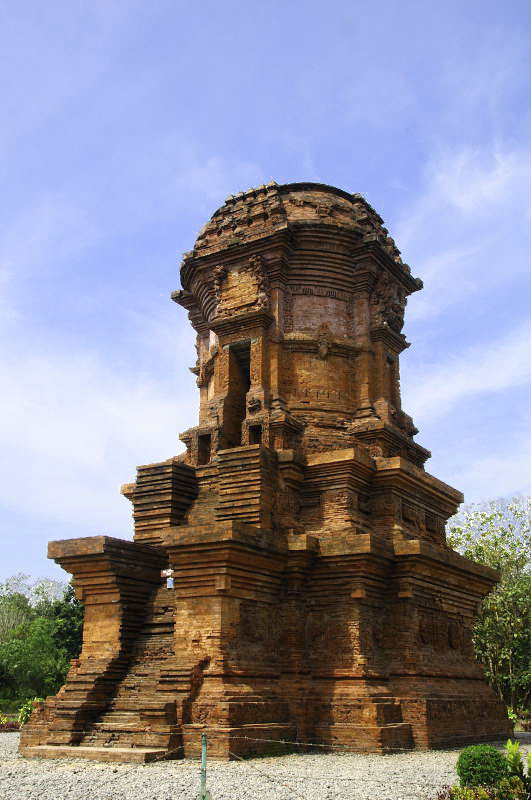
Probolinggo Regency has various tourist attractions including Mount Bromo, Madakaripura waterfall, white water rafting at Pekalen River, and also the Jabung Buddhist temple.
Rafting at Pekalen River
The location is about 1 hour from Bromo Tengger Semeru National Park which Pekalen river cuts Probolinggo city. With difficulty up to grade 3+, there are many bat caves and also small waterfalls along the cliff of Pekalen river which are difficult to find at other rivers.
References
Bibliography
References
- Badan Pusat Statistik, Jakarta, 28 February 2025, ''Kabupaten Probolinggo Dalam Angka 2025'' (Katalog-BPS 1102001.3513)
- Biro Pusat Statistik, Jakarta, 2011.
- Badan Pusat Statistik, Jakarta, 2021.
- "Arung Jeram Pekalen Probolinggo".
- "Probolinggo Community".
This article was imported from Wikipedia and is available under the Creative Commons Attribution-ShareAlike 4.0 License. Content has been adapted to SurfDoc format. Original contributors can be found on the article history page.
Ask Mako anything about Probolinggo Regency — get instant answers, deeper analysis, and related topics.
Research with MakoFree with your Surf account
Create a free account to save articles, ask Mako questions, and organize your research.
Sign up freeThis content may have been generated or modified by AI. CloudSurf Software LLC is not responsible for the accuracy, completeness, or reliability of AI-generated content. Always verify important information from primary sources.
Report