From Surf Wiki (app.surf) — the open knowledge base
Polk County, Oregon
County in Oregon, United States

County in Oregon, United States
| Field | Value |
|---|---|
| county | Polk County |
| state | Oregon |
| named for | James K. Polk |
| founded date | December 22 |
| founded year | 1845 |
| seat wl | Dallas |
| largest city | Salem (portion) |
| area_total_sq_mi | 744 |
| area_land_sq_mi | 741 |
| area_water_sq_mi | 3.1 |
| area percentage | 0.4% |
| population_as_of | 2020 |
| population_total | 87433 |
| pop_est_as_of | 2024 |
| population_est | 90549 |
| density_sq_mi | 118 |
| web | www.co.polk.or.us |
| ex image | Polk County Courthouse, Dallas - DPLA - ffa1635fc98ab0e7cb04ae673a2f690c.jpg |
| ex image cap | Polk County Courthouse in Dallas |
| time zone | Pacific |
| district | 6th |
Polk County is one of the 36 counties in the U.S. state of Oregon. As of the 2020 census, the population was 87,433. The county seat is Dallas. The county is named for James Knox Polk, the 11th president of the United States.
Polk County is part of the Salem, OR Metropolitan Statistical Area, which is also included in the Portland-Vancouver-Salem, OR-WA Combined Statistical Area. It is located in the Willamette Valley.
History
The Oregon Provisional Legislature created Polk County from Yamhill District on December 22, 1845, granting to it the entire southwestern portion of present-day Oregon to the California border. County boundaries were periodically changed to reflect the creation of Benton and Lincoln counties. Many other counties were subsequently carved out of these as settlement spread towards the south, leaving Polk County many counties away from its former border with California.
The first county seat was a settlement on the north side of Rickreall Creek named Cynthian (also known as Cynthia Ann). In 1852 city officials renamed Cynthian to Dallas after Vice President George M. Dallas, vice president (1845–1849) to James Polk. During the 1880s and 1890s, there were a series of unsuccessful efforts to move the county seat to nearby Independence.
Geography
According to the United States Census Bureau, the county has a total area of 744 sqmi, of which 741 sqmi is land and 3.1 sqmi (0.4%) is water.
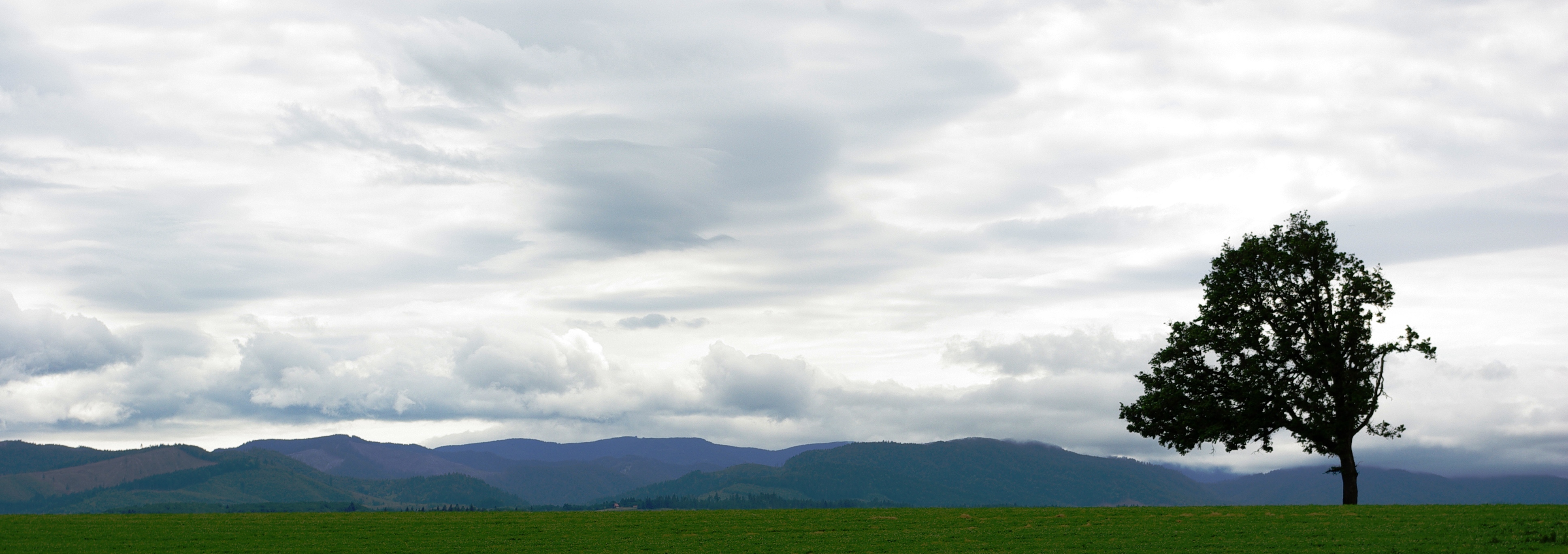
About two thirds of Polk County, the western part, is forest, mostly of the coniferous and mixed varieties, bordering on temperate rain forest around Laurel Mountain, the wettest place in Oregon.
The eastern half of the county lies in the Willamette Valley. The Willamette River forms the eastern border of the county, separating it from neighboring Marion County.
Adjacent counties
- Tillamook County (northwest)
- Yamhill County (north)
- Marion County (east)
- Linn County (southeast)
- Benton County (south)
- Lincoln County (west)
National protected areas
- Baskett Slough National Wildlife Refuge
- Siuslaw National Forest (part)
Demographics
|align-fn=center 1790–1960 1900–1990 1990–2000 2010–2020
2020 census
| Race / Ethnicity (NH = Non-Hispanic) | title=1980 Census of Population - General Population Characteristics - Oregon - Table 58 - Persons by Race and Table 59 - Total Persons and Spanish Origin Persons by Type of Spanish Origin and Race (p. 39/24-39/32) | url=https://www2.census.gov/library/publications/decennial/1980/volume-1/oregon/1980a_orabc-05.pdf | website=United States Census Bureau | page=}} | title=1990 Census of Population - General Population Characteristics - Oregon - Table 5 - Race and Hispanic Origin | url=https://www2.census.gov/library/publications/decennial/1990/cp-1/cp-1-39.pdf | website=United States Census Bureau | page=9-30}} | title=P004: Hispanic or Latino, and Not Hispanic or Latino by Race – 2000: DEC Summary File 1 – Polk County, Oregon | url=https://data.census.gov/table?g=050XX00US41053&tid=DECENNIALSF12000.P004 | website=United States Census Bureau | access-date= }} | title=P2: Hispanic or Latino, and Not Hispanic or Latino by Race – 2010: DEC Redistricting Data (PL 94-171) – Polk County, Oregon | url=https://data.census.gov/cedsci/table?q=p2&g=050XX00US41053&tid=DECENNIALPL2010.P2 | website=United States Census Bureau | access-date= }} | Pop 2020 | % 1980 | % 1990 | % 2000 | % 2010 | % 2020 |
|---|---|---|---|---|---|---|---|---|---|---|---|---|---|---|---|---|---|---|---|---|---|---|
| White alone (NH) | 42,439 | 45,145 | 53,394 | 60,702 | 64,719 | 93.89% | 91.13% | 85.59% | 80.50% | 74.02% | ||||||||||||
| Black or African American alone (NH) | 155 | 192 | 229 | 394 | 682 | 0.34% | 0.39% | 0.37% | 0.52% | 0.78% | ||||||||||||
| Native American or Alaska Native alone (NH) | 542 | 704 | 1,078 | 1,380 | 1,579 | 1.20% | 1.42% | 1.73% | 1.83% | 1.81% | ||||||||||||
| Asian alone (NH) | 243 | 653 | 671 | 1,403 | 1,702 | 0.54% | 1.32% | 1.08% | 1.86% | 1.95% | ||||||||||||
| Native Hawaiian or Pacific Islander alone (NH) | x | x | 152 | 201 | 344 | x | x | 0.24% | 0.27% | 0.39% | ||||||||||||
| Other race alone (NH) | 236 | 45 | 57 | 79 | 412 | 0.52% | 0.09% | 0.09% | 0.10% | 0.47% | ||||||||||||
| Mixed race or Multiracial (NH) | x | x | 1,319 | 2,156 | 5,265 | x | x | 2.11% | 2.86% | 6.02% | ||||||||||||
| Hispanic or Latino (any race) | 1,588 | 2,802 | 5,480 | 9,088 | 12,730 | 3.51% | 5.66% | 8.78% | 12.05% | 14.56% | ||||||||||||
| Total | 45,203 | 49,541 | 62,380 | 75,403 | 87,433 | 100.00% | 100.00% | 100.00% | 100.00% | 100.00% |
As of the 2020 census, the county had a population of 87,433. Of the residents, 22.6% were under the age of 18 and 19.4% were 65 years of age or older; the median age was 38.6 years. For every 100 females there were 94.4 males, and for every 100 females age 18 and over there were 91.6 males. 79.6% of residents lived in urban areas and 20.4% lived in rural areas.
The racial makeup of the county was 78.1% White, 0.8% Black or African American, 2.2% American Indian and Alaska Native, 2.0% Asian, 0.4% Native Hawaiian and Pacific Islander, 5.8% from some other race, and 10.7% from two or more races. Hispanic or Latino residents of any race comprised 14.6% of the population.
There were 32,135 households in the county, of which 31.4% had children under the age of 18 living with them and 24.4% had a female householder with no spouse or partner present. About 22.3% of all households were made up of individuals and 11.3% had someone living alone who was 65 years of age or older.
There were 33,828 housing units, of which 5.0% were vacant. Among occupied housing units, 65.6% were owner-occupied and 34.4% were renter-occupied. The homeowner vacancy rate was 1.1% and the rental vacancy rate was 5.7%.
2010 census
As of the 2010 census, there were 75,403 people, 28,288 households, and 19,545 families living in the county. The population density was 102 PD/sqmi. There were 30,302 housing units at an average density of 41 /mi2. The racial makeup of the county was 85.9% White, 0.6% Black or African American, 2.1% Native American, 1.9% Asian, 0.3% Pacific Islander, 5.4% from other races, and 3.8% from two or more races. 12.1% of the population were Hispanic or Latino of any race.
There were 28,288 households in 2010, out of which 32.4% had children under the age of 18 living with them, 54.2% were married couples living together, 10.3% had a female householder with no husband present, and 30.9% were non-families. 23% of all households were made up of individuals, and 9.8% had someone living alone who was 65 years of age or older. The average household size was 2.60 and the average family size was 3.06.
In the county, the population was spread out, with 24.3% under the age of 18 and 14.8% 65 years of age or older. The median age was 37.1 years. For every 100 females, there were 94.8 males. For every 100 females age 18 and over, there were 91.8 males.
2000 census
As of the 2000 census, the median income for a household in the county was $42,311, and the median income for a family was $50,483. Males had a median income of $36,667 versus $26,272 for females. The per capita income for the county was $19,282. About 6.30% of families and 11.50% of the population were below the poverty line, including 12.50% of those under age 18 and 5.50% of those age 65 or over.
Politics
Though Polk County is located in western Oregon, politically it falls in line with the eastern side of the state. The majority of registered voters who are part of a political party in Polk County, as well as most rural counties in Oregon, are members of the Republican Party.
In the 2012 presidential election, 50.54 percent of Polk County voters voted for Republican Mitt Romney, while 46.21 percent voted for Democrat Barack Obama, and 3.25 percent either voted for a Third Party candidate or wrote in a candidate. These numbers show a shift toward the Republican candidate when compared to the 2008 presidential election, in which 48.92% of Polk County voters voted for Republican John McCain, while 48.43 percent voted for Barack Obama, and 2.64 percent either voted for a Third Party candidate or wrote in a candidate. Obama's 2008 performance was the best by a Democrat since Lyndon Johnson carried the county in 1964; the only other Democrats to ever carry Polk County have been Franklin Roosevelt in 1932 and 1936, Woodrow Wilson in 1912, and William Jennings Bryan in 1896.
Economy
The major industries of the county are agriculture, forest products, manufacturing, and education. Polk County has the second-largest area devoted to viticulture in Oregon, at 1322 acre. Western Oregon University in Monmouth is a major employer.
Communities
Cities
- Dallas (county seat)
- Falls City
- Independence
- Monmouth
- Salem (part)
- Willamina (part)
Census-designated places
- Eola
- Fort Hill
- Grand Ronde
- Rickreall
Unincorporated communities
- Airlie
- Ballston
- Bethel
- Black Rock
- Bridgeport
- Brunks Corner
- Buena Vista
- Crowley
- Ellendale
- Lewisville
- McCoy
- Modeville
- Pedee
- Perrydale
- Salt Creek
- Suver
- Valley Junction
- Valsetz
- Zena
Education
K-12 school districts include:
- Amity School District 4J
- Central School District 13J
- Dallas School District 2
- Falls City School District 57
- Perrydale School District 21
- Philomath School District 17J
- Salem-Keizer School District 24J
- Sheridan School District 48J
- Willamina School District 30J
All of Polk County is within the Chemeketa Community College district.
References
References
- "State & County QuickFacts". United States Census Bureau.
- "Find a County". National Association of Counties.
- "QuickFacts". United States Census Bureau.
- "County Population Totals and Components of Change: 2020-2024". United States Census Bureau.
- "U.S. Decennial Census". United States Census Bureau.
- "Historical Census Browser". University of Virginia Library.
- (March 27, 1995). "Population of Counties by Decennial Census: 1900 to 1990". United States Census Bureau.
- (April 2, 2001). "Census 2000 PHC-T-4. Ranking Tables for Counties: 1990 and 2000". United States Census Bureau.
- "1980 Census of Population - General Population Characteristics - Oregon - Table 58 - Persons by Race and Table 59 - Total Persons and Spanish Origin Persons by Type of Spanish Origin and Race (p. 39/24-39/32)".
- "1990 Census of Population - General Population Characteristics - Oregon - Table 5 - Race and Hispanic Origin".
- "P004: Hispanic or Latino, and Not Hispanic or Latino by Race – 2000: DEC Summary File 1 – Polk County, Oregon".
- "P2: Hispanic or Latino, and Not Hispanic or Latino by Race – 2010: DEC Redistricting Data (PL 94-171) – Polk County, Oregon".
- "P2: Hispanic or Latino, and Not Hispanic or Latino by Race – 2020: DEC Redistricting Data (PL 94-171) – Polk County, Oregon".
- included in the Asian category in the 1980 Census
- included in the Asian category in the 1990 Census
- not an option in the 1980 Census
- not an option in the 1990 Census
- (2021). "2020 Decennial Census Demographic Profile (DP1)".
- (2023). "2020 Decennial Census Demographic and Housing Characteristics (DHC)".
- (2021). "2020 Decennial Census Redistricting Data (Public Law 94-171)".
- (February 2014). "Voter Registration by County". Oregon Secretary of State.
- "November 6, 2012, General Election Abstract of Votes: United States President". Oregon Secretary of State.
- "November 4, 2008, General Election Abstracts of Votes: United States President". Oregon Secretary of State.
- Menendez, Albert J.; ''The Geography of Presidential Elections in the United States, 1868–2004'', pp. 284–285 {{ISBN. 0786422173
- Leip, David. "Dave Leip's Atlas of U.S. Presidential Elections".
- Geography Division. (December 18, 2020). "2020 CENSUS - SCHOOL DISTRICT REFERENCE MAP: Polk County, OR". [[United States Census Bureau]].
- "Oregon Community Colleges and Community College Districts". [[Oregon Department of Community Colleges & Workforce Development]].
This article was imported from Wikipedia and is available under the Creative Commons Attribution-ShareAlike 4.0 License. Content has been adapted to SurfDoc format. Original contributors can be found on the article history page.
Ask Mako anything about Polk County, Oregon — get instant answers, deeper analysis, and related topics.
Research with MakoFree with your Surf account
Create a free account to save articles, ask Mako questions, and organize your research.
Sign up freeThis content may have been generated or modified by AI. CloudSurf Software LLC is not responsible for the accuracy, completeness, or reliability of AI-generated content. Always verify important information from primary sources.
Report