From Surf Wiki (app.surf) — the open knowledge base
Pickett County, Tennessee
County in Tennessee, United States

County in Tennessee, United States
| Field | Value |
|---|---|
| county | Pickett County |
| state | Tennessee |
| founded | 1879 |
| named for | Howard L. Pickett, state legislator |
| seat wl | Byrdstown |
| largest city wl | Byrdstown |
| city type | town |
| area_total_sq_mi | 174 |
| area_land_sq_mi | 163 |
| area_water_sq_mi | 12 |
| area percentage | 6.6% |
| census yr | 2020 |
| pop | 5001 |
| density_sq_mi | 31 |
| ex image | Pickett-county-courthouse-tn1.jpg |
| ex image cap | Pickett County Courthouse in Byrdstown |
| time zone | Central |
| district | 6th |
Pickett County is a county located in the U.S. state of Tennessee. As of the 2020 census, the population was 5,001, making it the least populous county in Tennessee. Its county seat is Byrdstown. The city of Byrdstown and the Kentucky town of Albany, 11 mi to the northeast, are positioned between two Army Corps of Engineers lakes: Dale Hollow Lake, mainly in Tennessee, and Lake Cumberland, in Kentucky. The area is known as "Twin Lakes" and Byrdstown is noted as "The Gateway To Dale Hollow Lake". Every year thousands of people vacation at the many resorts situated along the lakes.
History
Pickett County was created in 1879 from sections of Overton and Fentress counties. It was named for Howell Lester Pickett (1847 - 1914), a member of the state legislature representing Wilson County who had been instrumental in the county's formation. Nobel Peace Prize winner Cordell Hull had been born in one of the parcels of land set aside to create the new county. Hull would be honored for his role in organizing the World War II diplomatic alliance that became the United Nations.
Geography
According to the U.S. Census Bureau, the county has a total area of 174 sqmi, of which 163 sqmi is land and 12 sqmi (6.6%) is water. It is the fourth-smallest county in Tennessee by land area and third-smallest by total area. The eastern part of the county, much of which is part of Pickett State Forest, lies atop the Cumberland Plateau, while the western, more populated half is located on the Highland Rim. The Wolf River and the Obey River, the lower parts of which are part of Dale Hollow Lake, pass through the county. The rivers converge just west of the county's border with Clay County.
Streams in the far eastern section of the county are part of the watershed of the Big South Fork of the Cumberland River.
Unlike most of Tennessee, most of Pickett County is outside of the Sun Belt due to a past error surveying the northern border of Middle and East Tennessee. Byrdstown in particular is north of the Sun Belt. The Sun Belt is defined by the Kinder Institute as being south of 36°30'N latitude, which was intended to be the northern border of Tennessee and is the actual northern border of West Tennessee.
Adjacent counties
- Wayne County, Kentucky (northeast/EST Border)
- Scott County (east/EST Border)
- Fentress County (southeast)
- Overton County (southwest)
- Clay County (west)
- Clinton County, Kentucky (north)
National protected area
- Big South Fork National River and Recreation Area (very small part)
State protected areas
- Cordell Hull Birthplace State Park
- Honey Creek State Natural Area
- Pickett State Forest (part)
- Pickett CCC Memorial State Park
- Twin Arches State Natural Area (part)
Highways
Demographics
|align-fn=center 1790-1960 1900-1990 1990-2000 2010-2020 2020
2020 census
| Race | Number | Percentage | White (non-Hispanic) | Black or African American (non-Hispanic) | Native American | Asian | Pacific Islander | Other/Mixed | Hispanic or Latino |
|---|---|---|---|---|---|---|---|---|---|
| 4,811 | 96.2% | ||||||||
| 8 | 0.16% | ||||||||
| 8 | 0.16% | ||||||||
| 15 | 0.3% | ||||||||
| 1 | 0.02% | ||||||||
| 75 | 1.5% | ||||||||
| 83 | 1.66% |
As of the 2020 census, there were 5,001 people, 2,192 households, and 1,600 families residing in the county. The median age was 51.1 years, with 18.2% of residents under the age of 18 and 27.9% who were 65 years of age or older. For every 100 females there were 98.1 males, and for every 100 females age 18 and over there were 97.9 males age 18 and over.
Of the county's 2,192 households, 23.3% had children under the age of 18 living in them. Of all households, 51.4% were married-couple households, 19.8% were households with a male householder and no spouse or partner present, and 23.9% were households with a female householder and no spouse or partner present. About 30.8% of all households were made up of individuals and 17.6% had someone living alone who was 65 years of age or older.
There were 3,342 housing units, of which 34.4% were vacant. Among occupied housing units, 82.3% were owner-occupied and 17.7% were renter-occupied. The homeowner vacancy rate was 1.6% and the rental vacancy rate was 15.7%.
The racial makeup of the county was 4,811 White (non-Hispanic) residents (96.2%), 8 Black or African American residents (0.16%), 8 Native American residents (0.16%), 15 Asian residents (0.3%), 1 Pacific Islander resident (0.02%), 75 residents of other or mixed race (1.5%), and 83 Hispanic or Latino residents of any race (1.66%).
2000 census
As of the census of 2000, there were 4,945 people, 2,091 households, and 1,461 families residing in the county. The population density was 30 /mi2. There were 2,956 housing units at an average density of 18 /mi2. The racial makeup of the county was 99.15% White, 0.10% Black or African American, 0.16% Native American, 0.04% Asian, 0.10% from other races, and 0.44% from two or more races. 0.83% of the population were Hispanic or Latino of any race.
There were 2,091 households, out of which 27.40% had children under the age of 18 living with them, 58.30% were married couples living together, 7.80% had a female householder with no husband present, and 30.10% were non-families. 27.20% of all households were made up of individuals, and 12.90% had someone living alone who was 65 years of age or older. The average household size was 2.33 and the average family size was 2.83.
In the county, the population was spread out, with 21.40% under the age of 18, 8.60% from 18 to 24, 24.70% from 25 to 44, 27.70% from 45 to 64, and 17.80% who were 65 years of age or older. The median age was 42 years. For every 100 females there were 96.80 males. For every 100 females age 18 and over, there were 94.20 males.
The median income for a household in the county was $24,673, and the median income for a family was $31,355. Males had a median income of $22,367 versus $17,173 for females. The per capita income for the county was $14,681. About 12.00% of families and 15.60% of the population were below the poverty line, including 19.40% of those under age 18 and 20.00% of those age 65 or over.
Education
- Pickett County High School - High school
- Pickett County K-8 - Elementary school/Junior high school
Communities
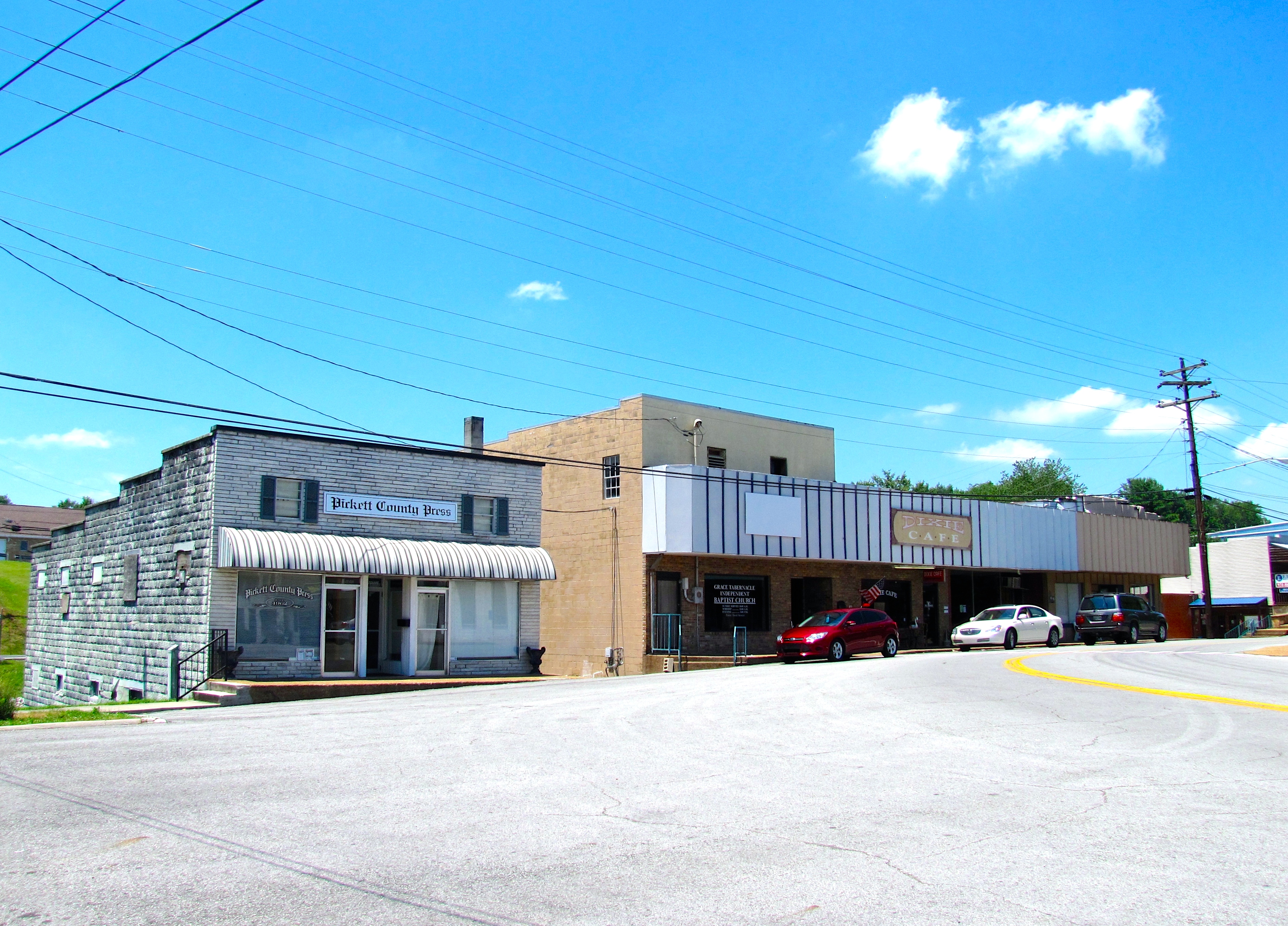

Town
- Byrdstown (county seat)
Unincorporated communities
- Boom
- Cedar Grove
- Love Lady
- Midway
- Moodyville
- Static
Ghost town
- Olympus
Politics
Along with Macon County and Fentress County, Pickett County constitutes an outlier in Tennessee politics as it is a historically Republican county in a region (Middle Tennessee) that was overwhelmingly Democratic up until recent years. Since its founding, Republicans have carried the county in every presidential election, with the only exceptions being Franklin D. Roosevelt in 1932, and Woodrow Wilson and Bill Clinton in the split 1912 and 1992 elections (with Tennessee son Al Gore on the Democratic ticket), respectively.
References
References
- Anne-Leslie Owens, "[http://tennesseeencyclopedia.net/entry.php?rec=1056 Pickett County]," ''Tennessee Encyclopedia of History and Culture''. Retrieved: March 18, 2013.
- "Find a County". National Association of Counties.
- (August 22, 2012). "2010 Census Gazetteer Files". United States Census Bureau.
- https://www.williamsonherald.com/features/w_life/tennessee-history-a-closer-look-at-why-state-s-northern-border-is-askew/article_fa390acc-5383-11ea-ab72-9bfcdc4177a8.html
- https://kinder.rice.edu/urbanedge/large-young-and-fast-growing-sun-belt-metros-need-urban-policy-innovation#:~:text=The%20Kinder%20Institute%20defines%20the,degrees%2030%20minutes%20north%20latitude
- "U.S. Decennial Census". United States Census Bureau.
- "Historical Census Browser". University of Virginia Library.
- (March 27, 1995). "Population of Counties by Decennial Census: 1900 to 1990". United States Census Bureau.
- (April 2, 2001). "Census 2000 PHC-T-4. Ranking Tables for Counties: 1990 and 2000". United States Census Bureau.
- "State & County QuickFacts". United States Census Bureau.
- "2020 Census Data".
- "Explore Census Data".
- (2021). "2020 Decennial Census Demographic Profile (DP1)".
- (2021). "2020 Decennial Census Redistricting Data (Public Law 94-171)".
- (2023). "2020 Decennial Census Demographic and Housing Characteristics (DHC)".
- "U.S. Census website". [[United States Census Bureau]].
- Leip, David. "Dave Leip's Atlas of U.S. Presidential Elections".
This article was imported from Wikipedia and is available under the Creative Commons Attribution-ShareAlike 4.0 License. Content has been adapted to SurfDoc format. Original contributors can be found on the article history page.
Ask Mako anything about Pickett County, Tennessee — get instant answers, deeper analysis, and related topics.
Research with MakoFree with your Surf account
Create a free account to save articles, ask Mako questions, and organize your research.
Sign up freeThis content may have been generated or modified by AI. CloudSurf Software LLC is not responsible for the accuracy, completeness, or reliability of AI-generated content. Always verify important information from primary sources.
Report