From Surf Wiki (app.surf) — the open knowledge base
Pennypack Creek

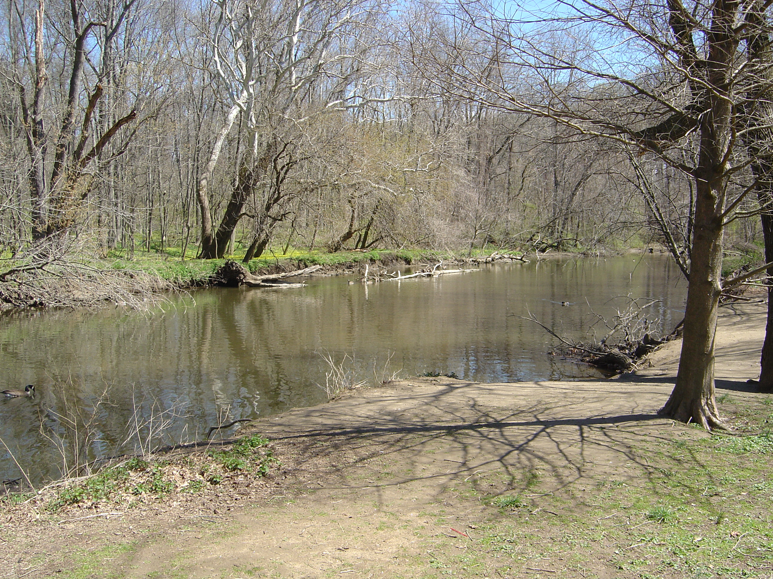


Pennypack Creek is a 22.6 mi creek in southeastern Pennsylvania in the United States. It runs southeast through lower Bucks County, eastern Montgomery County and the northeast section of Philadelphia, before emptying into the Delaware River.
Name
The creek draws its name from the Lenape word pënëpèkw meaning "downward-flowing water" or "deep, dead water; water without much current." Early cartographers gave various spellings for the name, including Pennishpaska, La Riviere de Pennicpacka, and Pennishpacha Kyl. In early Swedish patents it was called Pemipacka. Thomas Holme called it Dublin Creek, while in later maps it is called Pennypack and Pennepack.
Course
The Pennypack creek was first surveyed by Thomas Holme in 1687. The creek begins in two branches, one in Horsham, the other in Warminster, joining in Bryn Athyn. The creek then flows through Lower Moreland, Abington and Northeast Philadelphia.
Early use as an industrial waterway
Pennypack Creek was once the site of several mills.{{cite journal
Conversion to parkland
With the development of steam power in the Industrial Revolution, water power's influence on industry declined. As a result, many of the mills on the Pennypack closed, and by 1905 the land around it was acquired by the city for parkland. The creek now runs through Pennypack Park in Philadelphia and Lorimer Park in Montgomery County.
Segments of park trail help form the East Coast Greenway, a 3,000 mile long trail system connecting Maine to Florida.
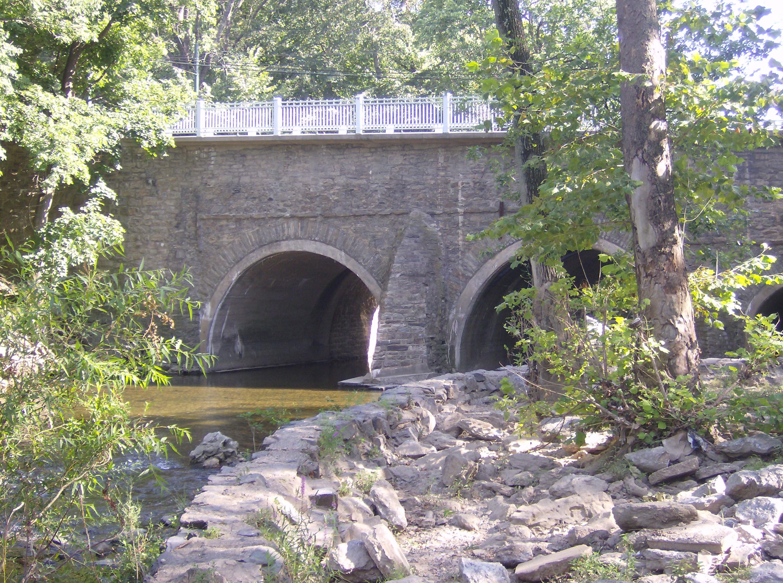
Historic bridges
Several historic bridges cross Pennypack Creek and its tributaries.
- The Frankford Avenue Bridge, a triple-span stone-arch bridge built in 1697, carries Frankford Avenue. It is the oldest stone bridge in the United States still in use.
- The Fetters Mill Road Bridge, a Pratt through-truss bridge built in 1883, has been closed to traffic since the early 2010s. It is still open to pedestrian and bicycle traffic.
- The Krewstown Road Bridge, a stone arch bridge built in 1800 and rehabilitated 1907, is still in use.
- The Holme Avenue Bridge, a closed-spandrel concrete arch bridge built in 1918, is still in use.
- The Roosevelt Boulevard Bridge, a closed-spandrel concrete arch bridge built in 1920, is still in use.
- The Holme Avenue Bridge, a closed-spandrel concrete arch bridge across Wooden Bridge Run built in 1921, is still in use.
- The Ryan Avenue Bridge, a closed-spandrel concrete arch bridge over Sandy Run built in 1929, is still in use.
- The Rhawn Street Bridges, two closed-spandrel concrete arches bridge built in 1930, are still in use.
References
References
- U.S. Geological Survey. National Hydrography Dataset high-resolution flowline data. [http://viewer.nationalmap.gov/viewer/ The National Map], accessed April 1, 2011
- [http://www.phillyh2o.org/backpages/Ledger_creeknames_1879.htm Philly H2O], "Changes in the Names of Streams In and About Philadelphia." ''Public Ledger Almanac: 1879''. Pages 3, 5, 7, 9, 11, & 13. (Accessed 2008-08-18)
- Penn ordered the [[Frankford Avenue Bridge. first bridge]] built across the creek along the [[King's Highway (Charleston to Boston). King's Highway]] (now Frankford Avenue) in 1697; the bridge still stands. Despite the lack of navigability beyond the [[Atlantic Seaboard fall line
- [http://bridgehunter.com/pa/philadelphia/frankford-avenue/ Frenkford Avenue Bridge] at bridgehunter.com
- [http://bridgehunter.com/pa/montgomery/467046107000270/ Fetters Mill Road Bridge] at bridgehunter.com
- [http://bridgehunter.com/pa/philadelphia/677301011001680/ Krewstown Road Bridge] at bridgehunter.com
- [http://bridgehunter.com/pa/philadelphia/671016002000000/ Holme Avenue Bridge] at bridgehunter.com
- [http://bridgehunter.com/pa/philadelphia/670001029010420/ Roosevelt Boulevard Bridge] at bridgehunter.com
- [http://bridgehunter.com/pa/philadelphia/671016003013800/ Holme Avenue Bridge] at bridgehunter.com
- [http://bridgehunter.com/pa/philadelphia/677301015003180/ Ryan Avenue Bridge] at bridgehunter.com
- [http://bridgehunter.com/pa/philadelphia/671014006000000/ Rhawn Street Bridge] at bridgehunter.com
- [http://bridgehunter.com/pa/philadelphia/671014006021690/ Rhawn Street Bridge] at bridgehunter.com
This article was imported from Wikipedia and is available under the Creative Commons Attribution-ShareAlike 4.0 License. Content has been adapted to SurfDoc format. Original contributors can be found on the article history page.
Ask Mako anything about Pennypack Creek — get instant answers, deeper analysis, and related topics.
Research with MakoFree with your Surf account
Create a free account to save articles, ask Mako questions, and organize your research.
Sign up freeThis content may have been generated or modified by AI. CloudSurf Software LLC is not responsible for the accuracy, completeness, or reliability of AI-generated content. Always verify important information from primary sources.
Report