From Surf Wiki (app.surf) — the open knowledge base
Paradise Hills, San Diego
| Field | Value |
|---|---|
| name | Paradise Hills, San Diego |
| official_name | Paradise Hills |
| native_name | |
| nicknames | "P.H.", "Pe Ache", "The Hills", |
| settlement_type | Community of San Diego |
| total_type | |
| image_skyline | Businesses_along_Reo_Dr,_Paradise_Hills,_San_Diego,_California.png |
| image_caption | Local businesses along Reo Drive in Paradise Hills |
| image_map | SanDiegoSoutheastMap.gif |
| map_caption | Paradise Hills is located in the southeastern area of the city of San Diego |
| pushpin_map | United States San Diego Southern |
| pushpin_label_position | bottom |
| pushpin_map_caption | Location within Southeast San Diego |
| subdivision_type | Country |
| subdivision_name | |
| subdivision_type1 | State |
| subdivision_name1 | California |
| subdivision_type2 | County |
| subdivision_name2 | Flag of San Diego County, California.png San Diego |
| subdivision_type3 | City |
| subdivision_name3 | Flag of San Diego, California.svg San Diego |
| parts_style | |
| parts | |
| p2 | |
| elevation_footnotes | |
| coordinates | |
| postal_code_type | ZIP Code |
| postal_code | 92139 |
Default is list if up to 5 items, coll if more than 5-- Paradise Hills is an urban neighborhood in the southeastern area of the city of San Diego, California. It is an outlying neighborhood adjacent to the independent city of National City and the unincorporated communities of Lincoln Acres and certain portions of Bonita. The neighborhood is part of the Skyline-Paradise Hills Community Planning Area.
Geography
Geographically, Paradise Hills encompasses the area east of Rachael Avenue (the boundary between San Diego and National City), south of Paradise Valley Road (a boundary with another San Diego neighborhood, Bay Terraces), north of State Route 54 (a boundary between San Diego and Bonita), and west of Dusk Drive and Potomac Street (another boundary with Bay Terraces). Stemming from old gang-enforced boundaries, "Paradise Hills" is sometimes incorrectly used to locate any place near the Skyline-Paradise Hills Community which includes the neighborhoods Skyline, Paradise Hills, Bay Terraces, Lomita, and the Meadowbrook Housing Project.
The Skyline-Paradise Hills Community as a whole make up approximately 4,500 acres. Much like the surrounding neighborhoods of Bay Terraces, Skyline, and Jamacha-Lomita, Paradise Hills consists predominantly of low-density single-family homes spread across the hilly area. A major geographic feature is Paradise Valley, which runs on an east-west axis through the middle of the community and gives rise to the Paradise Creek, which flows into San Diego Bay. Paradise Hills, along with South Bay Terrace, are directly south of Paradise Valley.
Demographics
Demographic statistics are only available for the wider 92139 ZIP code which includes all of Paradise Hills and a portion of neighboring Bay Terraces; in this ZIP code, people of Hispanic/Latino heritage make up 39.03%, followed by Asian and Pacific Islanders 32.87%, non-Hispanic Whites 12.80%, Blacks 10.87%, American Indian 0.11% and others 4.32%.
Government
Paradise Hills is within the 4th City Council District. The district has long been represented by Myrtle Cole since she won a special election in 2013 through 2018. It is currently represented by Henry L. Foster III, who was elected in 2024. Federally, the neighborhood is within the California's 53rd congressional district.
Education
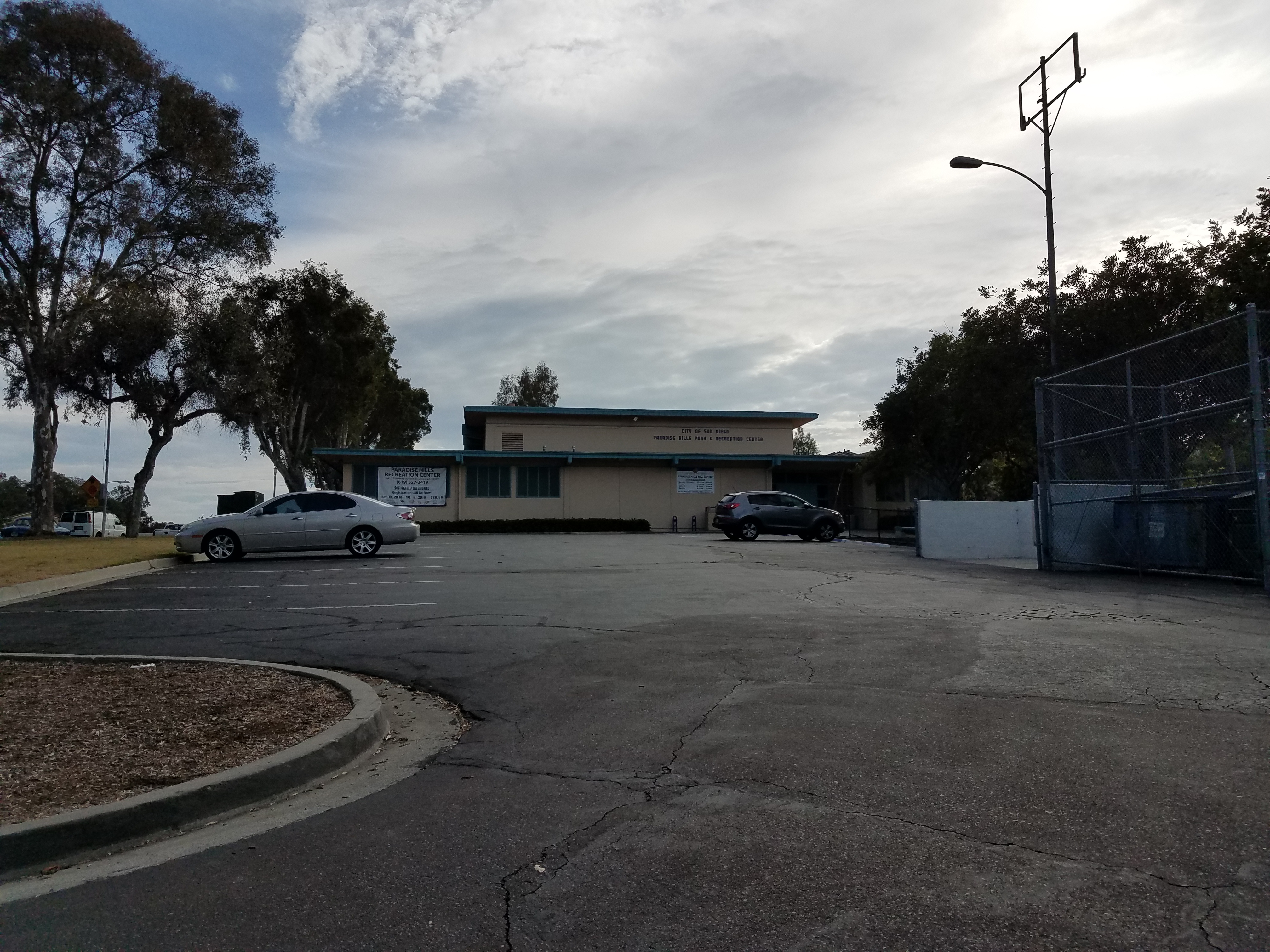
Public elementary schools located in Paradise Hills are Pacific View Leadership Elementary Paradise Hills Elementary, and Perry Elementary; Penn Elementary lies on the border between Paradise Hills and Bay Terraces. Public secondary schools serving Paradise Hills residents are Bell Middle School and Morse High School (both in neighboring Bay Terraces and Skyline, respectively); San Diego School of Creative and Performing Arts (SCPA) also lies on the border between Paradise Hills and Bay Terraces. SCPA provides education from 9th through 12th grades with an added emphasis on performing arts. The largest private school in Paradise Hills, St. Michael's Catholic School, provides education from Kindergarten through 8th grade. Recreation centers in and bordering the neighborhood include Charles L. Lewis III Memorial Skate Park, Paradise Hills Recreation Center, and Penn Athletic Field.
Much like the rest of Southeast San Diego, many students in Paradise Hills have taken advantage of San Diego Unified School District's Voluntary Enrollment Exchange Program (VEEP), and have opted to be bused to high schools in San Diego's more affluent northern suburban neighborhoods. Depending on their VEEP Allied School Pattern, a high school student may be voluntarily bused to Mira Mesa High School, Mission Bay High School, Scripps Ranch High School, Serra High School, and University City High School.
References
References
- ""Community Profiles: Skyline-Paradise Hills"". City of San Diego.
- "San Diego Council District 4: Paradise Hills community map".
- "San Diego Police Department map of neighborhoods".
- [http://www.sandiego.gov/planning/community/profiles/skylineparadisehills/index.shtml Skyline-Paradise Hills Community Profile (City of San Diego: Planning Department)]
- "Skyline-Paradise Hills Community Plan". Scoutred.
- [http://profilewarehouse.sandag.org/profiles/est/zip92139est.pdf SANDAG Profile Warehouse: Current estimates for 92139 ZIP code]
- San Diego (Calif.). (2000). "San Diego Annual Budget". City Manager.
- Bowen, Andrew. (29 July 2016). "Councilwoman's Comments On Racial Profiling Spark Outcry". KPBS.
- . (2015). ["A Community of Contrasts"](http://www.upacsd.com/wp-content/uploads/2015/05/Community-of-Contrasts-Report-6-1-15.pdf). *Asian Americans Advancing Justice, Los Angeles*.
- [https://www.sandiegounified.org/schools/pacificview/name-change-approved School District Approves Name Change]
- [http://www.scpa.sandi.net/HTML/about_history.html San Diego School of Performing Arts: History and mission]
- [http://www.sandiego.gov/park-and-recreation/centers/cllewisskate.shtml City of San Diego: Park & Recreation: Charles L. Lewis III Memorial Skate Park] {{webarchive. link. (2012-04-03)
- [http://www.sandiego.gov/park-and-recreation/centers/paradise.shtml City of San Diego: Park & Recreation: Paradise Hills Recreation Center] {{webarchive. link. (2009-11-06)
- [http://www.sandiego.gov/park-and-recreation/centers/penn.shtml City of San Diego: Park & Recreation: Penn Athletic Field] {{webarchive. link. (2009-11-06)
- "VEEP Information".
- "2007–2008 VEEP Allied Patterns".
This article was imported from Wikipedia and is available under the Creative Commons Attribution-ShareAlike 4.0 License. Content has been adapted to SurfDoc format. Original contributors can be found on the article history page.
Ask Mako anything about Paradise Hills, San Diego — get instant answers, deeper analysis, and related topics.
Research with MakoFree with your Surf account
Create a free account to save articles, ask Mako questions, and organize your research.
Sign up freeThis content may have been generated or modified by AI. CloudSurf Software LLC is not responsible for the accuracy, completeness, or reliability of AI-generated content. Always verify important information from primary sources.
Report