From Surf Wiki (app.surf) — the open knowledge base
Pantperthog
Village in United Kingdom
Village in United Kingdom
Pantperthog is a hamlet in southern Gwynedd in Wales, 2 miles north of Machynlleth and 14 miles southeast of Dolgellau. Nearby is the former Llwyngwern quarry, which is now the Centre for Alternative Technology.
Governance
Pantperthog is included in Corris community, south of that village, and alternate community council meetings are held in Pantperthog Village Hall. The community council system replaced the parish council system; the council tackles local issues and acts as a contact point between local government and residents for information and resource on many environmental, equality, ethnicity and gender issues and other matters.
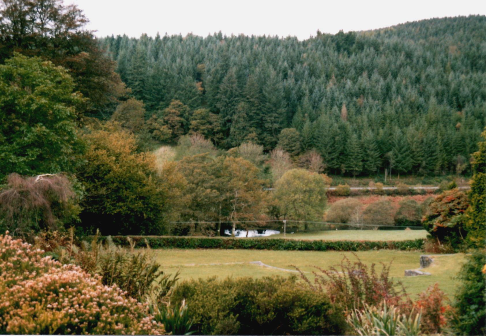
Forestry
The village has strong forestry connections, with part of the Dyfi Forest to the rear of the village.
Transport
The A487 trunk road passes through Pantperthog en route to Machynlleth and Dolgellau.
References
References
- Robert Mathews. (1991). "Practical House Building". Blackberry Books.
This article was imported from Wikipedia and is available under the Creative Commons Attribution-ShareAlike 4.0 License. Content has been adapted to SurfDoc format. Original contributors can be found on the article history page.
Ask Mako anything about Pantperthog — get instant answers, deeper analysis, and related topics.
Research with MakoFree with your Surf account
Create a free account to save articles, ask Mako questions, and organize your research.
Sign up freeThis content may have been generated or modified by AI. CloudSurf Software LLC is not responsible for the accuracy, completeness, or reliability of AI-generated content. Always verify important information from primary sources.
Report