From Surf Wiki (app.surf) — the open knowledge base
Panavally
| Field | Value |
|---|---|
| name | Panavally (പാണാവള്ളി) |
| native_name | പാണാവള്ളി |
| settlement_type | Poochakkal |
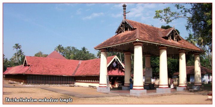
| image_skyline | Silica Sand.jpg |
| image_caption | View of Pachara Manal |
| pushpin_label_position | right |
| pushpin_map_caption | Location in Kerala, India |
| coordinates | |
| subdivision_type | Country |
| subdivision_name | India |
| subdivision_type1 | State |
| subdivision_name1 | Kerala |
| subdivision_type2 | District |
| subdivision_name2 | Alappuzha |
| established_title | |
| parts_type | Talukas |
| parts | Cherthala |
| governing_body | Panchayat |
| unit_pref | Metric |
| population_density_km2 | auto |
| demographics_type1 | Languages |
| demographics1_title1 | Official |
| demographics1_info1 | Malayalam, English |
| timezone1 | IST |
| utc_offset1 | +5:30 |
| postal_code_type | PIN |
| postal_code | 688526 Poochakkal S O |
| area_code_type | Telephone code |
| area_code | 0478 |
| registration_plate | KL-32 |
| blank1_name_sec1 | Lok Sabha constituency |
| blank1_info_sec1 | Alappuzha |
| blank2_name_sec1 | Niyamasabha constituency |
| blank2_info_sec1 | Aroor |
| blank3_name_sec1 | Civic agency |
| blank3_info_sec1 | Panchayat |
Panavally(പാണാവള്ളി) is a village in India that is located in the northern part of Cherthala taluk and Alappuzha district in the state of Kerala. It is about a 25-minute (19 km) drive from Kochi city.
Geography
Panavally is a village on the northern end of Alappuzha district. It spans from Arookutty on the northern side to Poochackal on the southern side Arookutty was the northern frontier of Travencore which separated it with old Kochi. The old customs house and the summer palace of Travencore King, which is overlooking the backwaters are still there. Different branches of the backwaters of Vembanad surround the village. Geographically, this area is part of the seashore sector of Kerala. The soil and other eco system show, like many regions of Kerala, that this part of the land emerged from the sea, few centuries ago. The sand in the southern part of this village is a great source of special silica sand, containing high concentration of pure silica. This was being used in many industries, in particular in brick (white) making and in glass industries. Southern end is the town Poochakkal, which is a part of this village as well as Thycattuserry village.
Transportation
The Cherthala-Arookutty-Aroor Temple Poochakkal- Vytilla Mobility Hub Kaloor bus route goes through this village and runs parallel to the national highway NH 66.
Economy
The economy in general is agriculture based, but equally supported by the seafood processing industry. Due to the proximity to the Cochin city, this village supplies workforce to the city as well.
Educational and cultural institutions
Major educational institutions are NSS Higher secondary & LP school, Trichattukulam. SNVHSS & BEd College, Sreekandeswaram. Govt LP school Odampally.
Sports
Red star arts and SNS Thaliyaparambu club has played a major role in shaping up the cultural and sports scenario of the village and at least three or four generations have received contributions from this organization.
Buildings and other notes
Poochakkal Police Station, Poochakkal Treasury, Poochakkal Medical Centre PMC, Panavally sub Registrar office, Thycattussery Block Panchayath Office and Poochakkal KSEB are in this village.
References
References
This article was imported from Wikipedia and is available under the Creative Commons Attribution-ShareAlike 4.0 License. Content has been adapted to SurfDoc format. Original contributors can be found on the article history page.
Ask Mako anything about Panavally — get instant answers, deeper analysis, and related topics.
Research with MakoFree with your Surf account
Create a free account to save articles, ask Mako questions, and organize your research.
Sign up freeThis content may have been generated or modified by AI. CloudSurf Software LLC is not responsible for the accuracy, completeness, or reliability of AI-generated content. Always verify important information from primary sources.
Report