From Surf Wiki (app.surf) — the open knowledge base
Pampanga River
River in central Luzon, Philippines

River in central Luzon, Philippines
| Field | Value | ||||
|---|---|---|---|---|---|
| name | Pampanga River | ||||
| name_other | Rio Grande de Pampanga | ||||
| image | File:Mt. Arayat & Pampanga River, Arayat, Pampanga (1).jpg | ||||
| image_caption | The river with Mount Arayat in the background | ||||
| map | Pampanga River Watershed.png | ||||
| map_caption | Pampanga River drainage area | ||||
| pushpin_map | Luzon mainland#Philippines | ||||
| pushpin_map_caption | Pampanga River mouth | ||||
| subdivision_type1 | Country | ||||
| subdivision_name1 | Philippines | ||||
| subdivision_type2 | Region | ||||
| subdivision_name2 | Central Luzon | ||||
| subdivision_type3 | Province | ||||
| subdivision_name3 | |||||
| subdivision_type4 | City | ||||
| subdivision_name4 | |||||
| *{{convert | 270 | km | mi | abbr | on}} Pampanga–Pantabangan River System. |
| *{{cvt | 246 | km | abbr | on}} Pampanga River, source in Gabaldon. | |
| source1_location | Sierra Madre, Central Luzon | ||||
| mouth | Manila Bay | ||||
| mouth_location | Hagonoy, Bulacan | ||||
| mouth_coordinates | |||||
| mouth_elevation | 0 m | ||||
| basin_size | 10434 km2 | ||||
| tributaries_left | Angat River, Peñaranda River, Madlum River | ||||
| tributaries_right | Dupinga River, Pantabangan River, Talavera River | ||||
| mapframe | yes | ||||
| mapframe-zoom | 8 | ||||
| mapframe-point | none |
- 270 km Pampanga–Pantabangan River System.
- 246 km Pampanga River, source in Gabaldon. | mapframe-zoom = 8 | mapframe-point = none
The Pampanga River is the second largest river on the island of Luzon in the Philippines (next to the Cagayan River) and the country's fifth longest river. It is in the Central Luzon region and traverses the provinces of Pampanga, Bulacan, and Nueva Ecija.
Topography
Its headwaters are at the Sierra Madre and runs a south and southwesterly course for about 261 km until it drains into Manila Bay.
The river's basin covers an area of 10434 km2, including the allied basin of Guagua River. The basin is drained through the Pampanga River and via the Labangan Channel into Manila Bay.
Its main tributaries are the Peñaranda and the Coronel-Santor rivers on the eastern side of the basin and the Chico River from the northwest side. The Angat River joins the Pampanga River at Calumpit, Bulacan via the Bagbag River. Mount Arayat stands in the middle of the basin.
Southeast of Mount Arayat and the Pampanga River is the Candaba Swamp, covering an area of some 250 km2 absorbing most of the flood flows from the western slopes of a portion of the Sierra Madre and the overflowing of the Pampanga River via the Cabiao Floodway. This area is submerged during the rainy season but is relatively dry during summer.
Flooding
The basin experiences, on an average, at least one flooding in a year. The dry season generally occurs from December to May and wet the rest of the year. The wettest months are from July to September. The Pampanga River Basin could handle between 100 and of 24-hour rainfall.
Extensive flooding occurred at the Pampanga River Basin in July 1962, May 1966, May 1976, October 1993, August 2003, August 2004, late September–October 2009, and August 2012.
The flooding in September 2011 associated with Pedring (Typhoon Nesat) nearly swallowed all of Pampanga and southern parts of Bulacan.
Very catastrophic and exceptionally severe flooding in the river basin that engulfed the Central Luzon provinces of Pangasinan, Pampanga, Bulacan, Nueva Ecija, and Tarlac occurred in July and August 1972. The 1972 flooding was so extensive that it flooded out 14 provinces throughout Northern and Central Luzon, plus Metro Manila and Southern Tagalog. The Pampanga River Basin and the Agno River Basin converged over Tarlac, submerging that province.
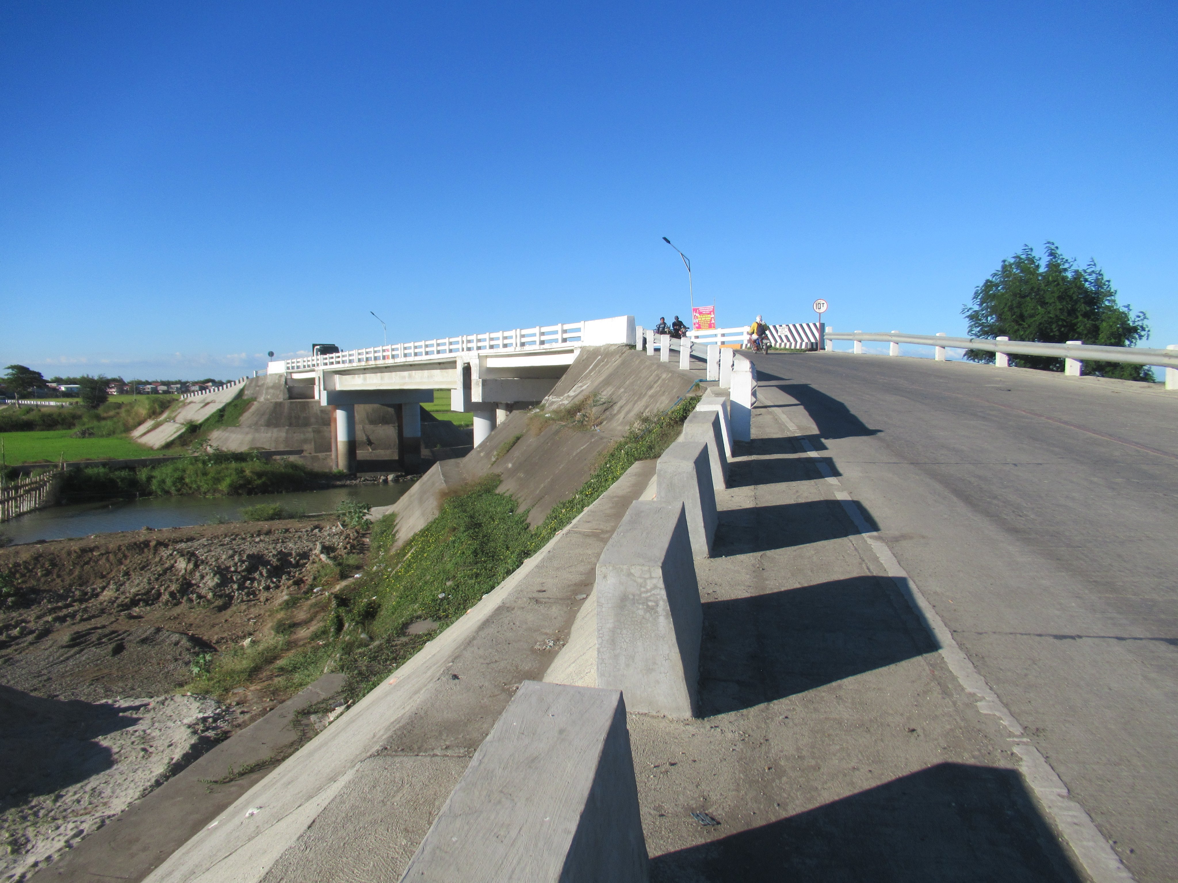
,_Santa_Rosa,_Nueva_Ecija.jpg)
Economic importance
At the higher sections of the basin, dams — especially the Pantabangan Dam in Pantabangan, Nueva Ecija — provide irrigation for farms in the province of Nueva Ecija.
At the lower sections of the basin, where the Pampanga delta lies, the Pampanga River system divides into small branches, crisscrossed with fishponds to form a network of sluggish, tidal flats and canals, which eventually find their way to Manila Bay.
With the anticipated completion of the Pampanga Delta Project, it is expected that flood flows at the lower section of the Pampanga River will recede at a much faster rate.
Crossings
This is listed from mouth to source.
- Pampanga Delta Bridge
- Sulipan Bridge (, Apalit)
- Candaba Viaduct (Pulilan–Apalit Bridge) (, Apalit)
- San Simon Bridge (San Simon)
- San Luis Bridge (San Luis)
- Candaba (San Agustin) Bridge (Candaba–Baliuag Road, Candaba)
- Candaba Bridge (Candaba–Santa Ana Road, Candaba)
- San Agustin Bridge (, Arayat, Pampanga)
- Sta. Isabel Cabiao Bridge (Cabiao)
- Jaen Bridge (San Anton–Poblacion Road, Jaen–San Leonardo boundary)
- Santa Rosa Bridge (, Santa Rosa)
- Cesar Vergara Bridge (Felipe Vergara Highway, Cabanatuan)
- Valdefuente Bridge (, Cabanatuan)
- Bangkerohan Bridge (Nueva Ecija–Aurora Road, Bongabon–Palayan boundary)
- Palayan–Gabaldon–Dingalan Road (Laur–Gabaldon boundary)
- Dupinga Bridge (, Gabaldon, Nueva Ecija)
References
References
- (September 21, 2011). "Water Quality Management in the Context of Basin Management: Water Quality, River Basin Management and Governance Dynamics in the Philippines". Department of Environment and Natural Resources.
- Kundel, Jim. (June 7, 2007). "Water profile of Philippines". Encyclopedia of Earth.
- "The Pampanga River Basin".
- (July 24, 2018). "Longest Rivers In The Philippines". WorldAtlas.
- "Pampanga River Basin".
This article was imported from Wikipedia and is available under the Creative Commons Attribution-ShareAlike 4.0 License. Content has been adapted to SurfDoc format. Original contributors can be found on the article history page.
Ask Mako anything about Pampanga River — get instant answers, deeper analysis, and related topics.
Research with MakoFree with your Surf account
Create a free account to save articles, ask Mako questions, and organize your research.
Sign up freeThis content may have been generated or modified by AI. CloudSurf Software LLC is not responsible for the accuracy, completeness, or reliability of AI-generated content. Always verify important information from primary sources.
Report