From Surf Wiki (app.surf) — the open knowledge base
Oyster Creek (Texas)
| Field | Value |
|---|---|
| name | Oyster Creek (Texas) |
| image | Missouri City TX FM 1092 at Oyster Creek.JPG |
| image_size | 280px |
| image_caption | FM 1092 bridge over Oyster Creek in Missouri City |
| source1_location | Fort Bend County, Texas |
| mouth_location | Brazoria County, Texas |
| subdivision_type1 | Country |
| subdivision_name1 | United States |
| length_mi | 52 |
Oyster Creek is a stream in Texas that rises at at a divergence from Dolly's Gully near Skinner Lane (Skinner Gate), north of Richmond in Fort Bend County. Likely Oyster Creek formerly rose at the mouth of Dolly's Gully on Jones Creek some 3500 feet to the SW prior to installation of control gates and a 350' channel from the (since removed) Second Lift pumping station by the Gulf Coast Water Authority, which utilizes the upper reaches of Oyster Creek to deliver municipal and irrigation water to various recipients in Fort Bend and Brazoria counties.
Oyster Creek is north and east of, and roughly parallel to, the Brazos River. It originally flowed southeast 52 miles to the Gulf of Mexico in Brazoria County. Portions of the stream no longer follow their natural course because in Missouri City the upper section has been partially channelized, ultimately connecting with the Brazos River via a short segment of Steep Bank Creek.
The lower section continues on its meandering path from about a mile southeast of Steep Bank Creek, draining into the Intracoastal Waterway north of Surfside Beach.
Gallery
File:Lochridge TX Oyster Creek.JPG|Oyster Creek at Lochridge near Rosharon File:Snipe TX Oyster Creek.jpg|Oyster Creek at the FM 290 bridge in Snipe
References
References
- (September 30, 2020). "Jones Creek & Oyster Creek". Gulf Coast Water Authority.
- ""Feature Detail Report for: Oyster Creek"". USGS Geographic Names Information Service.
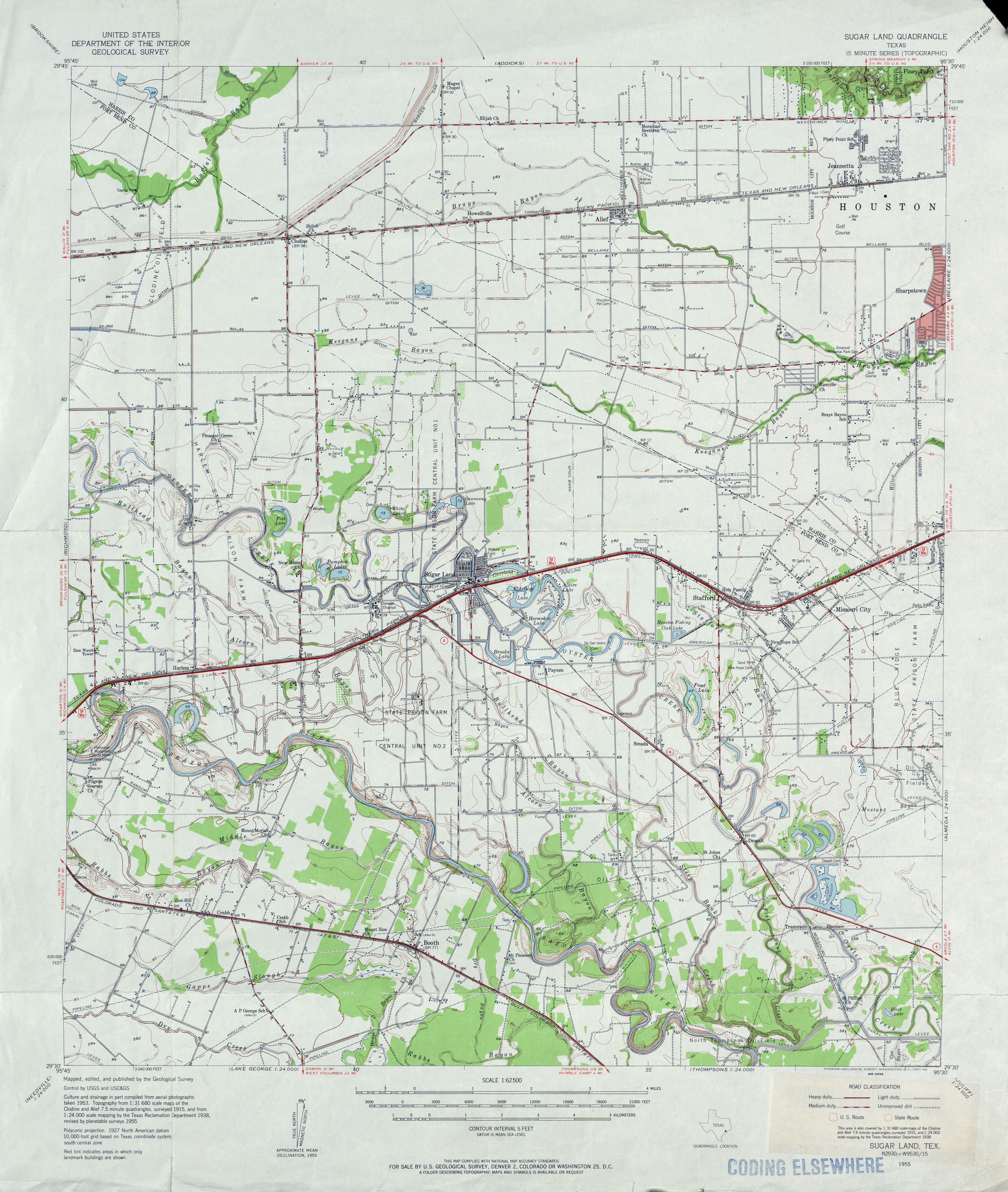
- "USGS ''Sugar Land, Tex'' Quadrangle 1955".
- "Watershed Map, Missouri City GIS System".
- ""Feature Detail Report for: Steep Bank Creek"". USGS Geographic Names Information Service.
This article was imported from Wikipedia and is available under the Creative Commons Attribution-ShareAlike 4.0 License. Content has been adapted to SurfDoc format. Original contributors can be found on the article history page.
Ask Mako anything about Oyster Creek (Texas) — get instant answers, deeper analysis, and related topics.
Research with MakoFree with your Surf account
Create a free account to save articles, ask Mako questions, and organize your research.
Sign up freeThis content may have been generated or modified by AI. CloudSurf Software LLC is not responsible for the accuracy, completeness, or reliability of AI-generated content. Always verify important information from primary sources.
Report