From Surf Wiki (app.surf) — the open knowledge base
Otter Kill
| Field | Value |
|---|---|
| name | Otter Kill |
| name_etymology | From the animal of that name |
| image | Otter Kill in Hamptonburgh, NY.jpg |
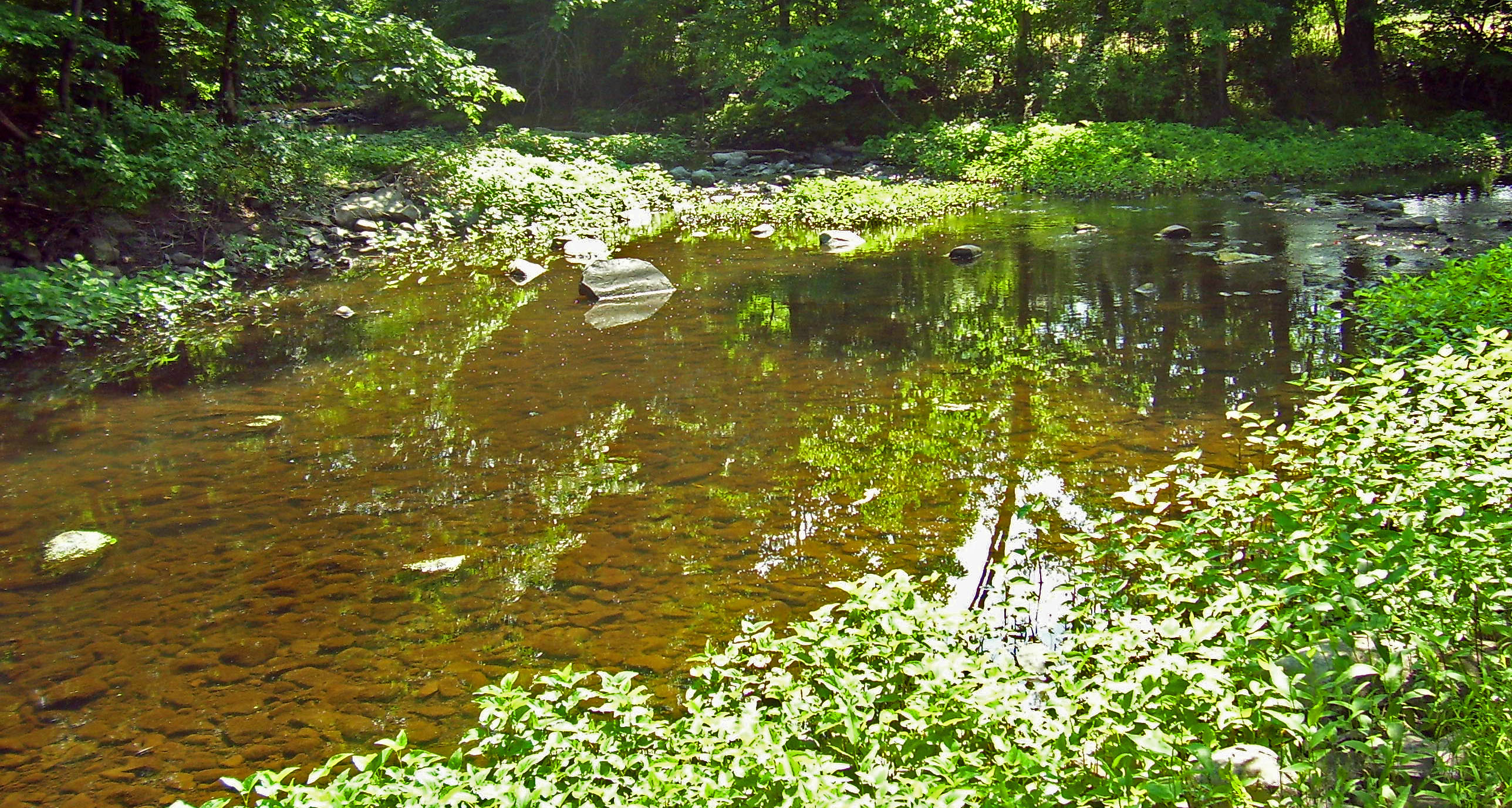
| image_caption | Otter Kill at Otter Road in Hamptonburgh |
| map | Moodnacreekmap.png |
| map_caption | Otter Kill within the Moodna Creek watershed |
| subdivision_type1 | Country |
| subdivision_name1 | United States |
| subdivision_type2 | State |
| subdivision_name2 | New York |
| subdivision_type3 | Region |
| subdivision_name3 | Hudson Valley |
| subdivision_type4 | County |
| subdivision_name4 | Orange |
| subdivision_type5 | Towns |
| subdivision_name5 | Goshen, Hamptonburgh, Blooming Grove |
| source1 | Goshen Reservoir#2 |
| source1_location | Town of Goshen |
| source1_coordinates | |
| source1_elevation | 460 ft |
| mouth | Confluence with Cromline Creek at Moodna Creek |
| mouth_location | N of Washingtonville |
| mouth_coordinates | |
| mouth_elevation | 300 ft |
| river_system | Moodna Creek |
| tributaries_right | Black Meadow Creek |
Otter Kill is a 16.0 mi tributary of Moodna Creek that flows through central Orange County, New York, in the United States. Via the Moodna, which it forms at a confluence with Cromline Creek north of the village of Washingtonville, its waters eventually reach the Hudson River.
The Otter Kill flows primarily through rural, undeveloped areas of the towns of Goshen, Hamptonburgh and Blooming Grove. Development pressures in those areas have led the state Department of Environmental Conservation to classify it and a major tributary, Black Meadow Creek, as threatened streams.
Course
The Otter Kill traces a semicircular route through the northwestern Moodna valley. It rises from the north end of Goshen's Reservoir #2 and flows generally in that direction, under NY 17. Two miles from its source, in the swamps east of the village of Goshen, it receives its largest tributary, Black Meadow Creek. It continues in the same direction, through more swamps surrounded by farmland, into the town of Hamptonburgh.
Just east of the Campbell Hall Metro-North station, the stream begins to bend toward the east. After crossing under the tracks and then NY 207 just east of the hamlet of Campbell Hall, the largest settlement the Otter comes near, it widens and turns even more sharply to the east, paralleling Route 207.
At Brown's Pond near the hamlet of Rock Tavern, it goes over a small dam, crosses under Routes 207 and 208, then turns to the south, paralleling the latter highway. It crosses under the Port Jervis Line once again. Just after flowing under Route 208 again at an eastward bend of the highway, it meets Cromline Creek and the two continue as Moodna Creek to the Hudson at Cornwall.
References
References
- U.S. Geological Survey. National Hydrography Dataset high-resolution flowline data. [http://viewer.nationalmap.gov/viewer/ The National Map], accessed October 3, 2011
- Corey, Geri. (October 9, 2008). "State says development threatens two streams". Straus Newspapers.
This article was imported from Wikipedia and is available under the Creative Commons Attribution-ShareAlike 4.0 License. Content has been adapted to SurfDoc format. Original contributors can be found on the article history page.
Ask Mako anything about Otter Kill — get instant answers, deeper analysis, and related topics.
Research with MakoFree with your Surf account
Create a free account to save articles, ask Mako questions, and organize your research.
Sign up freeThis content may have been generated or modified by AI. CloudSurf Software LLC is not responsible for the accuracy, completeness, or reliability of AI-generated content. Always verify important information from primary sources.
Report