From Surf Wiki (app.surf) — the open knowledge base
Northampton County, Pennsylvania
County in Pennsylvania, United States

County in Pennsylvania, United States
| Field | Value |
|---|---|
| county | Northampton County |
| state | Pennsylvania |
| seal | Northampton County, Pennsylvania seal.png |
| founded date | March 11 |
| founded year | 1752 |
| seat wl | Easton |
| largest city wl | Bethlehem |
| area_total_sq_mi | 377 |
| area_land_sq_mi | 370 |
| area_water_sq_mi | 7.7 |
| area percentage | 2.0% |
| census yr | 2020 |
| pop | 312951 |
| pop_est_as_of | 2024 |
| population_est | 322,989 |
| pop_est_footnotes | |
| density_sq_mi | 830 |
| web | http://www.northamptoncounty.org |
| time zone | Eastern |
| district | 7th |
| named for | Northamptonshire, England |
| ex image | Northampton County, Pennsylvania, Courthouse 1905.jpg |
| ex image cap | A 1905 illustration of Northampton County Courthouse in Easton |
| flag | Northampton County, Pennsylvania.gif |
Northampton County is a county in the Commonwealth of Pennsylvania, United States. As of the 2020 census, the population was 312,951. Its county seat is Easton. The county was formed in 1752 from parts of Bucks County. Its namesake was the county of Northamptonshire in England, and the county seat of Easton was named for Easton Neston, a country house in Northamptonshire.
Northampton County and Lehigh County to its west combine to form the eastern Pennsylvania region known as the Lehigh Valley; Lehigh County, with a population of 374,557 as of the 2020 U.S. census, is the more highly populated of the two counties. Both counties are part of the Philadelphia media market, the fifth-largest in the nation.
Northampton County has historically been a national leader in heavy manufacturing, especially of cement, steel, and other industrial products. Atlas Portland Cement Company, the world's largest cement manufacturer from 1895 until 1982, was based in Northampton in the county. Bethlehem Steel, the world's second-largest manufacturer of steel for most of the 20th century, was based in Bethlehem, the county's most populous city, prior to its dissolution in 2003.
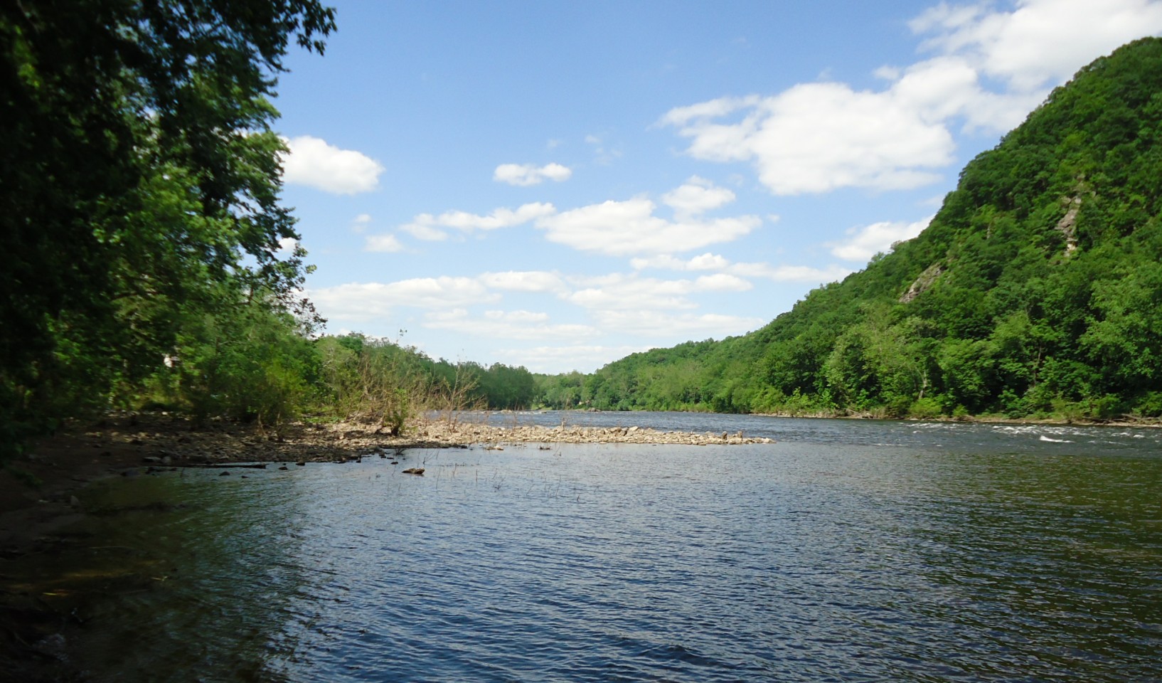
Northampton County borders Carbon County and the Poconos to its north, Lehigh County to its west, Bucks County to its south, and the Delaware River and New Jersey to its east. The Lehigh River, a 109 mi tributary of the Delaware River, flows through the county.
Geography
According to the U.S. Census Bureau, the county has a total area of 377 sqmi, of which 370 sqmi is land and 7.7 sqmi (2.0%) is water. The climate is humid continental (mostly Dfa with a little Dfb in higher northern areas) and the hardiness zone is 7a except in the northern tier where it is 6b. Average monthly temperatures in downtown Bethlehem average from 29.1 °F in January to 74.1 °F in July, while in Wind Gap, they average from 27.0 °F in January to 71.7 °F in July. Both the Lehigh and Delaware rivers flow through the county. Kittatinny Ridge is to its north. South Mountain is to its south. Paxinosa Mountains are to its east.
Adjacent counties
- Monroe County (north)
- Warren County, New Jersey (east)
- Bucks County (south)
- Lehigh County (west)
- Carbon County (northwest)
National protected areas
- Delaware Water Gap National Recreation Area (part)
- Middle Delaware National Scenic River (part)
Demographics
|align-fn=center 1790-1960 1900-1990 1990-2000 2010-2019
2020 census
As of the 2020 census, the county had a population of 312,951, reflecting growth of 5.1% over 2010. The median age was 42.6 years, 19.6% of residents were under the age of 18, and 19.9% were 65 years of age or older; for every 100 females there were 95.6 males, and for every 100 females age 18 and over there were 93.3 males age 18 and over.
The racial makeup of the county was 76.2% White, 6.2% Black or African American, 0.3% American Indian and Alaska Native, 3.2% Asian,
| Race / Ethnicity (NH = Non-Hispanic) | title=P004: Hispanic or Latino, and Not Hispanic or Latino by Race – 2000: DEC Summary File 1 – Northampton County, Pennsylvania | url=https://data.census.gov/table/DECENNIALSF12000.P004?q=P004:+HISPANIC+OR+LATINO,+AND+NOT+HISPANIC+OR+LATINO+BY+RACE+[73]&g=050XX00US42095 | publisher=United States Census Bureau | access-date= }} | title=P2 Hispanic or Latino, and Not Hispanic or Latino by Race – 2010: DEC Redistricting Data (PL 94-171) - Northampton County, Pennsylvania | url=https://data.census.gov/table/DECENNIALPL2010.P2?q=p2&g=050XX00US42095 | website=United States Census Bureau}} | % 2000 | % 2010 |
|---|---|---|---|---|---|---|---|---|---|
| White alone (NH) | 235,666 | 241,163 | 228,373 | 88.24% | |||||
| Black or African American alone (NH) | 6,886 | 13,207 | 17,429 | 2.57% | |||||
| Native American or Alaska Native alone (NH) | 293 | 329 | 251 | 0.10% | |||||
| Asian alone (NH) | 3,610 | 7,131 | 9,892 | 1.35% | |||||
| Pacific Islander alone (NH) | 50 | 74 | 75 | 0.01% | |||||
| Other race alone (NH) | 277 | 422 | 1,647 | 0.10% | |||||
| Mixed race or Multiracial (NH) | 2,416 | 4,230 | 10,687 | 0.90% | |||||
| Hispanic or Latino (any race) | 17,868 | 31,179 | 44,597 | 6.69% | |||||
| Total | 267,066 | 297,735 | 312,951 | 100.00% |
83.1% of residents lived in urban areas, while 16.9% lived in rural areas.
There were 121,015 households in the county, of which 27.9% had children under the age of 18 living in them. Of all households, 49.8% were married-couple households, 17.0% were households with a male householder and no spouse or partner present, and 25.7% were households with a female householder and no spouse or partner present. About 26.3% of all households were made up of individuals and 12.3% had someone living alone who was 65 years of age or older.
There were 127,584 housing units, of which 5.1% were vacant. Among occupied housing units, 70.4% were owner-occupied and 29.6% were renter-occupied. The homeowner vacancy rate was 1.0% and the rental vacancy rate was 5.3%.
2010 census
As of the 2010 census, the county was 81.0% White Non-Hispanic, 5.0% Black or African American, 0.2% Native American or Alaskan Native, 2.4% Asian, 0.0% Native Hawaiian, 2.2% were two or more races, and 3.8% were some other race. 10.5% of the population were of Hispanic or Latino ancestry.
Economy
Northampton County is part of the larger Lehigh Valley metropolitan region, which was historically a global leader in heavy manufacturing. As of 2023, the Lehigh Valley's gross domestic product (GDP) was $ billion, led by its manufacturing sector, which comprised $9 billion, or 16 percent.
The county served as the global headquarters of Bethlehem Steel, founded in 1857 and based in Bethlehem, which was the nation's second-largest steel manufacturer after U.S. Steel for most of the 20th century. In 1982, Bethlehem Steel reported an unexpected loss of US$1.5 billion, and responded by promptly shutting down much of its operations. In 2001, the company declared bankruptcy, and it was dissolved in 2003. The plight of Bethlehem Steel is often cited as a prominent example of the impact of deindustrialization associated with the Rust Belt regions of the U.S. during the late 20th century.
The county is also home to the global headquarters of C. F. Martin & Company, based in Nazareth, which manufacturers Martin Guitars, used by Johnny Cash, Elvis Presley, Bob Dylan, Hank Williams, Neil Young, John Lennon, Willie Nelson, Kurt Cobain, Eric Clapton, John Mayer, and other prominent guitarists.
Government
Northampton is one of the seven counties in Pennsylvania which has adopted a home rule charter. Voters elect a county executive, a nine-person county council, a county controller, and a county district attorney. The executive, controller, district attorney, and five of the nine council members are elected at large by all voters in the county. The other four members of the county council are elected from single-member districts, which they represent. This weighted structure of county government favors the majority of voters. The county's row officers are nominated by the county executive and approved by county council.
Politics
|} As of January 8, 2024, there were 219,719 registered voters in Northampton County
- Democratic: 95,780 (43.59%)
- Republican: 80,828 (36.79%)
- No affiliation: 32,480 (14.78%)
- Other parties: 10,631 (4.84%)
Northampton County is considered one of Pennsylvania's "swing counties," with statewide winners carrying it in most cases. As of 2024, the last presidential election where Northampton County did not back the statewide winner was in 1948.
In the 2024 U.S. Senate election in Pennsylvania, Republican Dave McCormick won the election and Northampton County, while losing Erie County, Pennsylvania. The county also closely mirrored the 2024 U.S. presidential election in Pennsylvania, which was won by Republican Donald Trump (50.2% to 48.5%), compared to Trump winning Northampton County 50.4% to 48.62%.
Voting machine problems
2019 election
In November 2019, municipal elections were in Pennsylvania in November 2019, and the county's result tabulations were plagued with problems caused by newly purchased voting machines, known as ExpressVoteXL, which were manufactured and sold to the county by Election Systems & Software (ES&S), an Omaha, Nebraska-based company, as representing a luxury one-stop voting system.
According to The New York Times and other media, a few minutes after polls closed in the county in 2019, panic began to spread through the county's election offices as it became evident that vote totals in one judge's race showed one candidate, Abe Kassis, a Democrat, had received just 164 votes out of 55,000 ballots across more than the 100 precincts in the county; Some precinct machines reported zero votes for him.
The ES&S voting system, which is used in other Pennsylvania jurisdictions, features a touch screen with a paper ballot backup. County officials ultimately calculated results by counting paper ballots, which showed Kassis actually won the election by 1,054 votes, according to unofficial results that were announced on November 6. The election results were later certified following a canvass and audit, and no challenges to the results were filed.
2023 election
On November 7, 2023, ExpressVoteXL machines again malfunctioned in calculating votes for Superior Court of Pennsylvania judges with the machines switching "yes" and "no" votes on the summary display of votes on whether the judges should be retained. The county's director of administration, Charles Dertinger, attributed the problem to the summary display and not the actual ballots.
County executives
| Name | Party | Term start | Term end |
|---|---|---|---|
| Glenn F. Reibman | Democratic | 1998 | 2006 |
| John Stoffa | Democratic | 2006 | 2014 |
| John Brown | Republican | 2014 | 2018 |
| Lamont McClure | Democratic | 2018 | Incumbent |
State representatives
Source:
- Milou Mackenzie, Republican, 131st district
- Steve Samuelson, Democrat, 135th district
- Robert L. Freeman, Democrat, 136th district
- Joe Emrick, Republican, 137th district
- Ann Flood, Republican, 138th district
- Zach Mako, Republican, 183rd district
State senators
Source:
- Nick Miller, Democrat, 14th district
- Lisa Boscola, Democrat, 18th district
United States House of Representatives
- Ryan Mackenzie, Republican, 7th district
United States Senate
- Dave McCormick, Republican
- John Fetterman, Democrat
Education

Colleges and universities
- Lafayette College, Easton
- Lehigh University, Bethlehem
- Moravian University, Bethlehem
- Northampton County Area Community College, Bethlehem Township
- Respect Graduate School, Bethlehem
Public school districts
.jpg)
School districts include:
- Bangor Area School District
- Bangor Area High School, Bangor
- Bethlehem Area School District
- Freedom High School, Bethlehem Township
- Liberty High School, Bethlehem
- Catasauqua Area School District
- Catasauqua High School, Northampton
- Easton Area School District
- Easton Area High School, Easton
- Nazareth Area School District
- Nazareth Area High School, Nazareth
- Northampton Area School District
- Northampton Area High School, Northampton
- Northern Lehigh School District
- Pen Argyl Area School District
- Pen Argyl Area High School, Pen Argyl
- Saucon Valley School District
- Saucon Valley High School, Hellertown
- Wilson Area School District
- Wilson Area High School, Easton
Public charter schools
- Lehigh Valley Charter High School for the Arts, Bethlehem
Private high schools
- Bethlehem Catholic High School, Bethlehem
- Moravian Academy, Bethlehem
- Notre Dame High School, Easton
Transportation
.JPG)
Air transportation
Main article: Lehigh Valley International Airport
Air transport to and from Northampton County is available through Lehigh Valley International Airport in Hanover Township, which is located approximately 4 mi northwest of Bethlehem and 11 mi west-southwest of Easton.
Bus transportation
Main article: LANta
Public bus service in Northampton County is available through LANta. A shuttle bus service called the Bethlehem Loop provides public transportation services in Bethlehem. NJ Transit provides service from Easton's Centre Square to the Phillipsburg area.
Major highways

Telecommunications
Main article: Area codes 610, 484, and 835
Northampton County was once served only by the 215 area code from 1947 (when the North American Numbering Plan of the Bell System went into effect) until 1994. With the county's growing population, however, Northampton County was afforded area code 610 in 1994. Today, Northampton County is covered by 610 except for the Portland exchange which uses 570. An overlay area code, 484, was added to the 610 service area in 1999. A plan to introduce area code 835 as an additional overlay was rescinded in 2001.
Recreation
There are two Pennsylvania state parks in Northampton County:
- Delaware Canal State Park follows the course of the old Delaware Canal along the Delaware River from Easton in Northampton County to Bristol in Bucks County.
- Jacobsburg Environmental Education Center
Communities


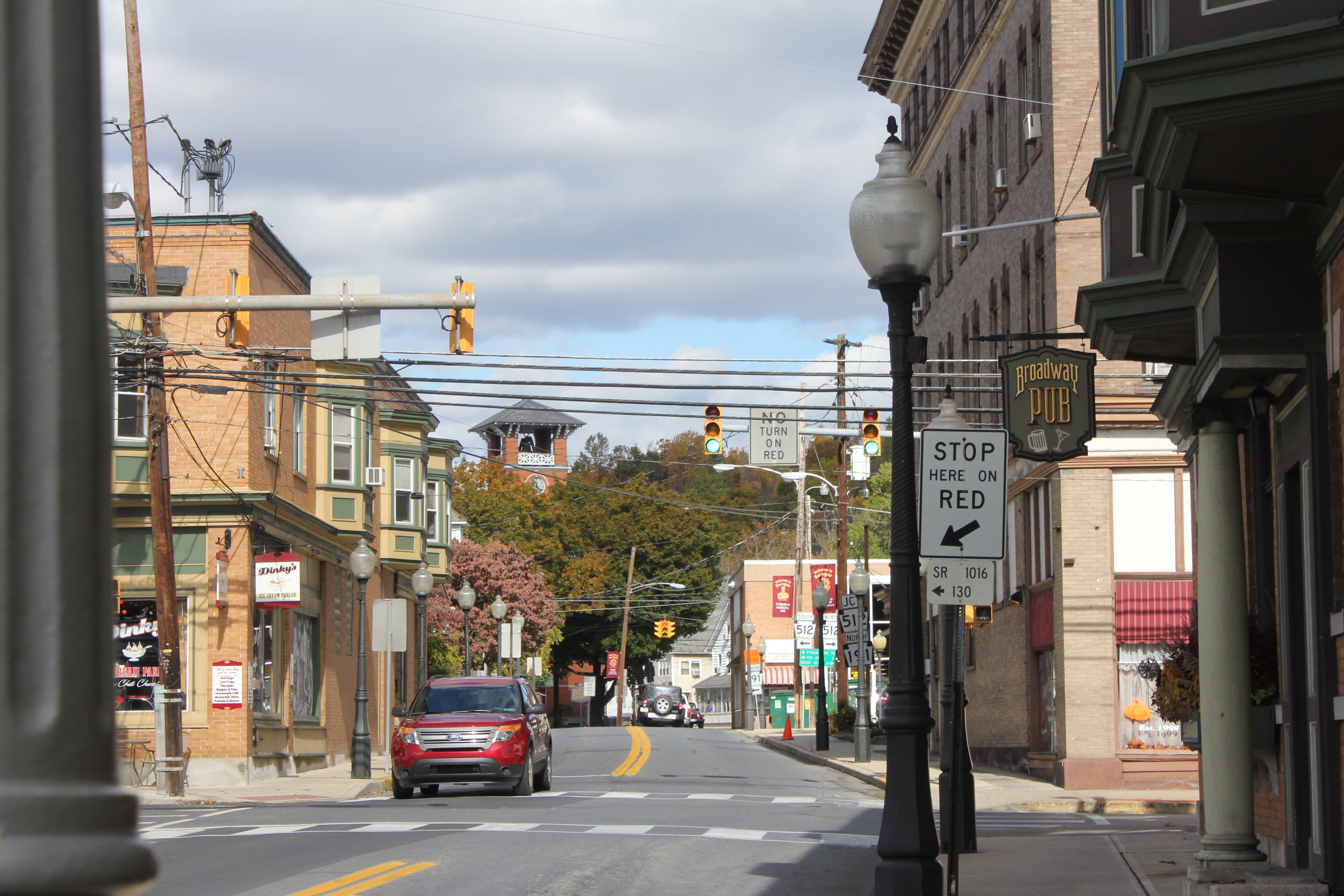


The following cities, boroughs, and townships are located in Northampton County:
Cities
- Bethlehem (partly in Lehigh County)
- Easton (county seat)
Boroughs
- Bangor
- Bath
- Chapman
- East Bangor
- Freemansburg
- Glendon
- Hellertown
- Nazareth
- North Catasauqua
- Northampton
- Pen Argyl
- Portland
- Roseto
- Stockertown
- Tatamy
- Walnutport
- West Easton
- Wilson
- Wind Gap
Townships
- Allen
- Bethlehem
- Bushkill
- East Allen
- Forks
- Hanover
- Lehigh
- Lower Mount Bethel
- Lower Nazareth
- Lower Saucon
- Moore
- Palmer
- Plainfield
- Upper Mount Bethel
- Upper Nazareth
- Washington
- Williams
Census-designated places
Census-designated places are unincorporated communities designated by the U.S. Census Bureau for the purposes of compiling demographic data. They are not actual jurisdictions under Pennsylvania law.
- Ackermanville
- Belfast
- Cherryville
- Chestnut Hill
- Eastlawn Gardens
- Martins Creek
- Middletown
- Morgan Hill
- Old Orchard
- Palmer Heights
- Raubsville
Other unincorporated places
- Beersville
- Berlinsville
- Butztown
- Chickentown
- Christian Springs
- Colesville
- Danielsville
- Emanuelsville
- Flicksville
- Franks Corner
- Hanoverville
- Hollo
- Katellen
- Klecknersville
- Moorestown
- Mount Bethel
- Newburg
- Schoenersville
- Seidersville
- Slateford
- Treichlers
- Wassergass
- Zucksville
Population ranking
The population ranking of the following table is based on the 2010 census of Northampton County.
† county seat
| Rank | City/borough/township/etc. | Municipal type | Population (2010 Census) |
|---|---|---|---|
| 1 | Bethlehem (partially in Lehigh County) | City | 74,982 |
| 2 | † Easton | City | 26,800 |
| 3 | Bethlehem Township | Township | 23,730 |
| 4 | Palmer Township | Township | 20,691 |
| 5 | Forks Township | Township | 14,721 |
| 6 | Hanover Township | Township | 10,866 |
| 7 | Lower Saucon Township | Township | 10,772 |
| 8 | Lehigh Township | Township | 10,527 |
| 9 | Northampton | Borough | 9,926 |
| 10 | Moore Township | Township | 9,198 |
| 11 | Bushkill Township | Township | 8,178 |
| 12 | Wilson | Borough | 7,896 |
| 13 | Middletown | CDP | 7,441 |
| 14 | Upper Mount Bethel Township | Township | 6,706 |
| 15 | Upper Nazareth Township | Township | 6,231 |
| 16 | Plainfield Township | Township | 6,138 |
| 17 | Hellertown | Borough | 5,898 |
| 18 | Williams Township | Township | 5,884 |
| 19 | Nazareth | Borough | 5,746 |
| 20 | Lower Nazareth Township | Township | 5,674 |
| 21 | Bangor | Borough | 5,273 |
| 22 | Washington Township | Township | 5,122 |
| 23 | East Allen Township | Township | 4,930 |
| 24 | Allen Township | Township | 4,269 |
| 25 | Palmer Heights | CDP | 3,762 |
| 26 | Pen Argyl | Borough | 3,595 |
| 27 | Eastlawn Gardens | CDP | 3,307 |
| 28 | Lower Mount Bethel Township | Township | 3,101 |
| 29 | North Catasauqua | Borough | 2,849 |
| 30 | Wind Gap | Borough | 2,720 |
| 31 | Bath | Borough | 2,693 |
| 32 | Freemansburg | Borough | 2,636 |
| 33 | Old Orchard | CDP | 2,434 |
| 34 | Walnutport | Borough | 2,070 |
| 35 | Cherryville | CDP | 1,580 |
| 36 | Roseto | Borough | 1,567 |
| 37 | Belfast | CDP | 1,257 |
| 38 | West Easton | Borough | 1,257 |
| 39 | Tatamy | Borough | 1,203 |
| 40 | East Bangor | Borough | 1,172 |
| 41 | Raubsville | CDP | 1,088 |
| 42 | Stockertown | Borough | 927 |
| 43 | Martins Creek | CDP | 631 |
| 44 | Ackermanville | CDP | 610 |
| 45 | Portland | Borough | 519 |
| 46 | Glendon | Borough | 440 |
| 47 | Chapman | Borough | 199 |
Notable people
Main article: List of people from the Lehigh Valley
References
References
- "Northampton County, Pennsylvania".
- "State & County QuickFacts". United States Census Bureau.
- "Find a County". National Association of Counties.
- Duck, Michael. (May 20, 2006). "Cement museum nurtures nostalgia in Pennsylvania". Chicago Tribune.
- (August 22, 2012). "2010 Census Gazetteer Files". United States Census Bureau.
- "PRISM Climate Group at Oregon State University".
- "U.S. Decennial Census". United States Census Bureau.
- "Historical Census Browser". University of Virginia Library.
- (March 24, 1995). "Population of Counties by Decennial Census: 1900 to 1990". United States Census Bureau.
- (April 2, 2001). "Census 2000 PHC-T-4. Ranking Tables for Counties: 1990 and 2000". United States Census Bureau.
- (2021). "2020 Decennial Census Demographic Profile (DP1)".
- (2021). "2020 Decennial Census Redistricting Data (Public Law 94-171)".
- "P004: Hispanic or Latino, and Not Hispanic or Latino by Race – 2000: DEC Summary File 1 – Northampton County, Pennsylvania". [[United States Census Bureau]].
- "P2 Hispanic or Latino, and Not Hispanic or Latino by Race – 2010: DEC Redistricting Data (PL 94-171) - Northampton County, Pennsylvania".
- "P2 Hispanic or Latino, and Not Hispanic or Latino by Race – 2020: DEC Redistricting Data (PL 94-171) - Northampton County, Pennsylvania".
- (2023). "2020 Decennial Census Demographic and Housing Characteristics (DHC)".
- [https://lvb.com/lehigh-valley-gdp-grows-to-record-55-7-billion/ "Lehigh Valley GDP grows to record $55.7 billion"], ''Lehigh Valley Business'', December 10, 2024, retrieved January 3, 2024
- [https://psmag.com/economics/rust-belt-allure-bethlehem-pennsylvania-67738/ "Rust Belt Allure of Bethlehem, Pennsylvania"], ''[[Pacific Standard]]'', October 6, 2013
- [https://www.guitarguitar.co.uk/news/141918/ "Artists Who Play Martin Guitars"], Guitar Guitar, July 2, 2024
- Leip, David. "Dave Leip's Atlas of U.S. Presidential Elections".
- (November 5, 2024). "2024 Senate Election (Official Returns)".
- "The bellwethers: What do voters in eastern PA know that the rest don't?". PennLive.com.
- "Pivot Counties in Pennsylvania". [[ballotpedia.org]].
- [https://www.nytimes.com/2019/11/30/us/politics/pennsylvania-voting-machines.html?action=click&module=Top%20Stories&pgtype=Homepage "A Pennsylvania County’s Election Day Nightmare Underscores Voting Machine Concerns," ''The New York Times'', November 30, 2019].
- [https://www.mcall.com/news/elections/mc-nws-election-problems-20191106-im2nc6s7wfhkhpyu5lhmvxucv4-story.html "Pennsylvania says election went well but Republicans disagree; both following Northampton County problems," ''The Morning Call'', November 6, 2019]
- [https://apnews.com/article/pennsylvania-election-voting-machines-votes-flipping-1aede0966e0c418b4efbbb36b513acef "Pennsylvania county promises accurate tally after clerical error appears to flip votes for judges" ''The Associated Press'', November 7, 2023]
- Center, Legislativate Data Processing. "Find Your Legislator".
- Geography Division. (January 14, 2021). "2020 CENSUS - SCHOOL DISTRICT REFERENCE MAP: Northampton County, PA". [[U.S. Census Bureau]].
- "NANP-Overlay of 610 (Pennsylvania) Numbering Plan Area (NPA) with 484 NPA".
- "PA 835 Implementation for 484/610 NPA Rescinded – 835 NPA Code Reclaimed".
- CNMP, US Census Bureau. "This site has been redesigned and relocated. - U.S. Census Bureau".
This article was imported from Wikipedia and is available under the Creative Commons Attribution-ShareAlike 4.0 License. Content has been adapted to SurfDoc format. Original contributors can be found on the article history page.
Ask Mako anything about Northampton County, Pennsylvania — get instant answers, deeper analysis, and related topics.
Research with MakoFree with your Surf account
Create a free account to save articles, ask Mako questions, and organize your research.
Sign up freeThis content may have been generated or modified by AI. CloudSurf Software LLC is not responsible for the accuracy, completeness, or reliability of AI-generated content. Always verify important information from primary sources.
Report