From Surf Wiki (app.surf) — the open knowledge base
North Wales Coalfield
Coal-rich area of the United Kingdom
Coal-rich area of the United Kingdom

The **North Wales Coalfield ** comprises the Flintshire Coalfield in the north and the Denbighshire Coalfield in the south. It extends from Point of Ayr in the north, through the Wrexham area to Oswestry in Shropshire in the south. A much smaller area on Anglesey where coal was formerly mined is not usually considered to form a part of the coalfield, although it is geographically in the North Wales region.
History
In north Wales, the Flintshire manors of Ewloe, Hopedale, and Mostyn and the Denbighshire manor of Brymbo were recorded as making profits from trading coal during the 14th and 15th centuries. By 1593, coal was exported from ports on the Dee estuary. Trade developed swiftly and by 1616, the principal collieries were at Bagillt, Englefield, Leaderbrook, Mostyn, Uphfytton and Wepre.
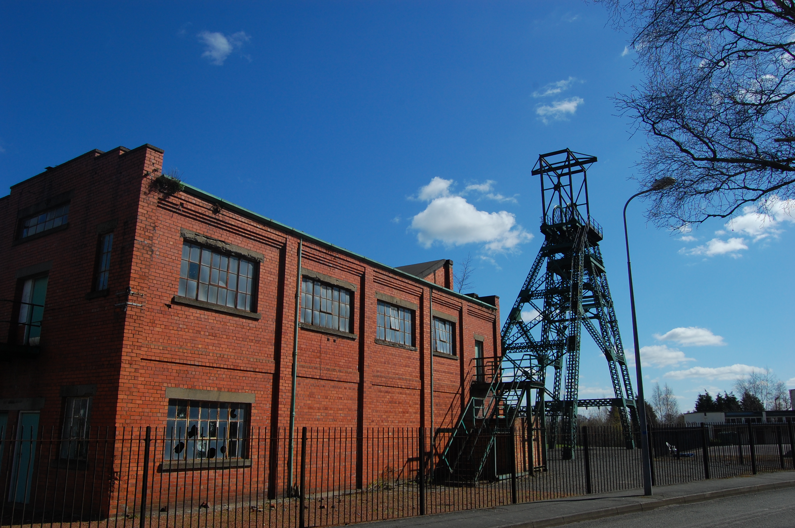
In the Denbighshire Coalfield, the areas of Chirk, Ruabon and Wrexham became heavily industrialised and exploited large deposits of iron, coal and clay. The last colliery, the Bersham Colliery was closed in 1986 when it became uneconomic.
Geography
The North Wales Coalfield is divided into the Flintshire Coalfield to the north and the nearly contiguous Denbighshire Coalfield to the south. The Flintshire Coalfield extends from the Point of Ayr in the north, through Connah's Quay to Caergwrle in the south and under the Dee Estuary to the Neston area of the Wirral Peninsula. The Denbighshire Coalfield extends from near Caergwrle in the north, to Wrexham, Ruabon, Rhosllannerchrugog and Chirk in the south, a small part extending into Shropshire in the Oswestry area.
References
References
- (1971–1972). "The growth and development of settlement and population in Flintshire, 1801–1851". Flintshire Historical Society Publications.
- (23 June 2012). "Denbighshire Collieries". Clwyd Family History Society.
- (1953). "The North Wales Coalfield". Coalmining History Research Centre.
- (2007). "Bedrock Geology: UK South, 1:625,000 scale geological map (5th edn)". British Geological Survey.
This article was imported from Wikipedia and is available under the Creative Commons Attribution-ShareAlike 4.0 License. Content has been adapted to SurfDoc format. Original contributors can be found on the article history page.
Ask Mako anything about North Wales Coalfield — get instant answers, deeper analysis, and related topics.
Research with MakoFree with your Surf account
Create a free account to save articles, ask Mako questions, and organize your research.
Sign up freeThis content may have been generated or modified by AI. CloudSurf Software LLC is not responsible for the accuracy, completeness, or reliability of AI-generated content. Always verify important information from primary sources.
Report